


Habring via Nußmoaralm
Characteristics
SkillThe tour in numbers
Level of difficulty
medium
Route
14,7 km
Time
5:00 h
Uphill
810 hm
Downhill
810 hm
Highest point
1497 m
Travel by train to St. Georgen ob Judenburg - hike across the small areas of the Nußmoaralm - enjoy the St. Oswald view with the Seckau Alps behind it.
The Murberge mountains, which border the Mur to the south and the Wölzer Tauern to the north, are a rather unknown hiking area. Popular and well-known, however, is the Habring, the 1497 m high summit, which can be hiked from both St. Georgen and Oberzeiring. A few decades ago, the Habring still offered great views, but now there is no longer anything to see, as the summit lies in the middle of the forest. It is still attractive, however, as there is a beautiful summit cross with edelweiss, a location board with altitude information and a rest area. On this hike, the path is the goal, as the view and the pleasant ascent and descent are very impressive and the beautiful areas around the Nußmoaralm offer wonderful views towards the Seetal Alps. Once you have reached the summit, you should take some time to enjoy the "St. Oswald view": Just a few minutes from the Habring saddle, you come to the open meadow areas and can enjoy the view towards St. Oswald and the Seckau Alps beyond. The hike up the Habring is just the thing if you are looking for secluded areas with great views.
Best season
January
February
March
April
May
June
July
August
September
October
November
December
More information
From Judenburg via the B317 (14 km, approx. 15 minutes)
Several car parks in the village or directly at St. Georgen ob Judenburg railway station.
From Murau via the B96 and B317 (32 km, approx. 25 minutes)
Several car parks in the village or directly at St. Georgen ob Judenburg railway station.
We start at the village square of St. Georgen ob Judenburg (1), 734 m, and walk slightly downhill through the village. After crossing the Mur bridge and the railway tracks, we see the yellow signposts at the crossroads. We keep right uphill and follow the tarmac road through Pichlhofen to the crossroads and then turn left. The road is almost flat. At the next crossroads, we turn right and follow the road uphill until shortly after the house at Pichlhofen 3, where the tarmac road ends and continues as a gravel road. The route continues comfortably uphill, past the access road to the farm vlg. Wagner farm, until we reach a crossroads shortly afterwards. Here we turn left into the side road, which now leads uphill over several long serpentines. After a gate, we come to the open alpine pastures of the Nußmoaralm (2), 1152 m, and enjoy the view towards the Seetal Alps as we continue our ascent. This is followed by a mix of alpine pastures and forest areas until we reach a crossroads and continue left. The forest road leads into a path that runs steadily uphill along a fence. We reach the saddle and see the yellow signposts. Now we turn left and after a few metres we reach the Habringsattel (3), 1406 m.
Due to a barbed wire fence, we recommend taking the detour to St. Oswald-Blick via the Habringsattel waypoint and then right along the forest road to the open areas with the magnificent view to St. Oswald. A few metres from the Habringsattel, you can see the start of the path to the summit. The path leads somewhat more steeply uphill through the forest until we reach our destination, the Habring (4), 1497 m, just before the summit area. The way back is via the ascent route.
An alternative descent variant leads via the Schalenstein to St. Georgen - see hike "Habring via Schalenstein" (click on link).
There are a few rules to follow to ensure conflict-free coexistence on mountain pastures and meadows, especially when travelling with dogs. (Source: www.sichere-almen.at - 06/2021
- Avoid contact with grazing livestock, do not feed animals, keep a safe distance!
- Behave calmly, do not frighten grazing cattle!Mother cows protect their calves. Avoid encounters between suckler cows and dogs!
- Always keep dogs under control and on a short lead. If an attack by a grazing animal is foreseeable: Put them on a lead immediately!
- Do not leave hiking trails on mountain pastures and meadows!
- If grazing animals block the path, keep as far away as possible!
- When approaching grazing animals: Stay calm, do not turn your back, avoid the animals!
- Leave the grazing area quickly at the first sign of restlessness!
- Pay attention to fences! If there is a gate, use it, then close it again and cross the pasture quickly!
- Treat the people working here, nature and the animals with respect!
A few tips on correct and fair behaviour in the forest: (Source: www.bundesforste.at - 6/2021)
- Hikers should avoid visiting the forest approx. 1.5 hours before sunrise and after sunset, as wild animals are particularly active at this time.
- Plastic bottles, handkerchiefs, cigarette butts etc. have no place in the forest! Please make sure that you do not leave any rubbish in the forest.
- Camping and making fires is strictly forbidden in the forest!
- In principle, every person in the forest is allowed to collect 2kg of mushrooms and berries per day for their own use. It is only prohibited if the forest owner expressly forbids it.
Alpine emergency call:
Mountain rescue emergency number: 140
EU emergency number: 112
Weather service:
Direct link mountain weather Styria:
https://www.zamg.ac.at/cms/de/wetter/produkte-und-services/bergwetter/steiermark
- Backpack with rain cover
- Telescopic / hiking poles
- Mountain / hiking boots
- Gloves: waterproof and warmHeadgear / sunglasses
- Outerwear: Onion layer system, T-shirt, jumper, jacket and winter jacket with hoodHiking trousers
- Seat pad
- Water bottle / thermos flask (on cooler days a warming drink is pleasant)
- Snack or snack
- First aid kit with blister plasters and tick tweezers
Other important items of equipment
- Route description
- Detailed plan of the hike
- Hiking map: For an overview, a 1 : 50,000 scale map of the respective region
- GPS device
- mobile phone
If you like circular hikes, you can choose the way back to St. Georgen via the Schalenstein and Nußdorf - see hike "Habring via Schalenstein" (click on link)
The starting point of the hike is very easy to reach by train.
Take the train or bus to St. Georgen ob Judenburg.
The exact timetable and general information about public transport in the region: www.verbundlinie.en
Refreshment stops and overnight accommodation:
Gasthaus Wieser, Tel.: +43 3583 2272, 8756 St. Georgen ob Judenburg 7, www.gasthof-wieser.at
Gasthof Sonnenhof, Tel.: +43 3583 2116, Pichlhofen 60, 8756 St. Georgen ob Judenburg, www.maerchenwald.at
Postcafe Ehgartner, Tel.: +43 3583 2855, 8756 St. Georgen ob Judenburg 11, www.murtaleis.at
Freytag & Berndt (2017): Seetaler Alpen, Seckauer Alpen, Judenburg, Knittelfeld. WK 212 Wander-, Rad-, Freizeitkarte; 1 : 50 000 C. und M. Hlatky, (2017): Murtal – Rund um Spielberg – Seetaler Alpen und Seckauer Alpen. Kral Verlag, S. 160Map & downloads
Gallery
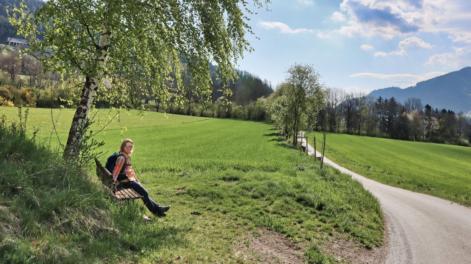
Kurze Rast unterwegs | © Weges OG | Weges OG
1/13
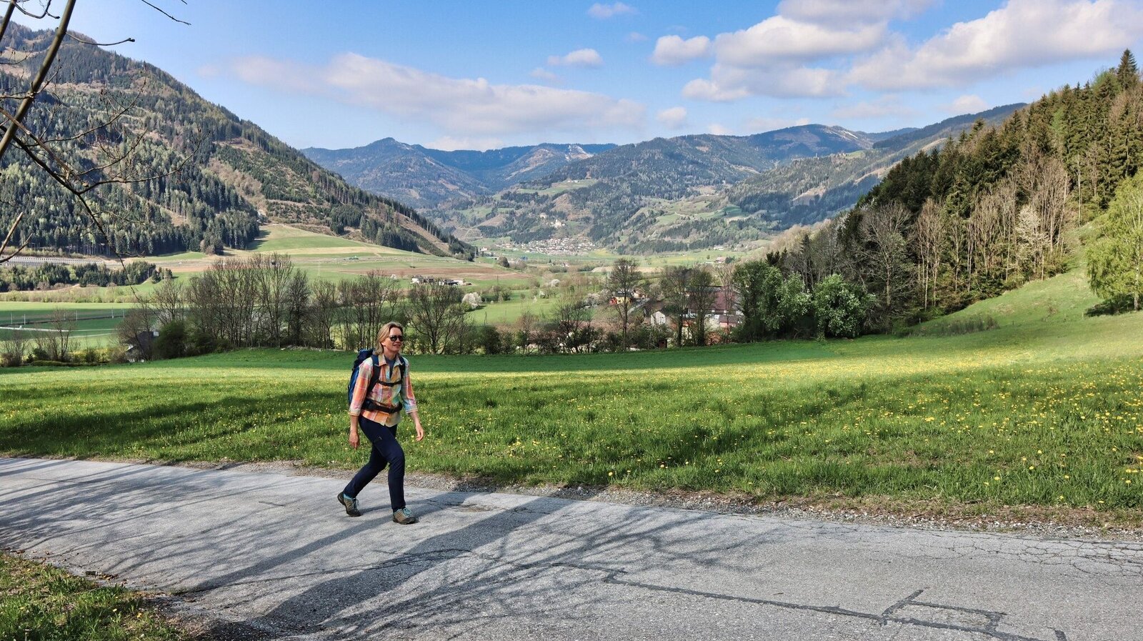
Zuerst führt der Aufstieg über Asphaltstraßen | © Weges OG | Weges OG
2/13
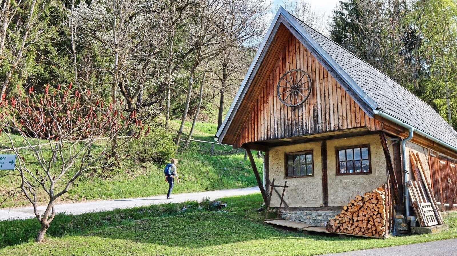
Liebevoll gepflegte Bauernhöfe | © Weges OG | Weges OG
3/13
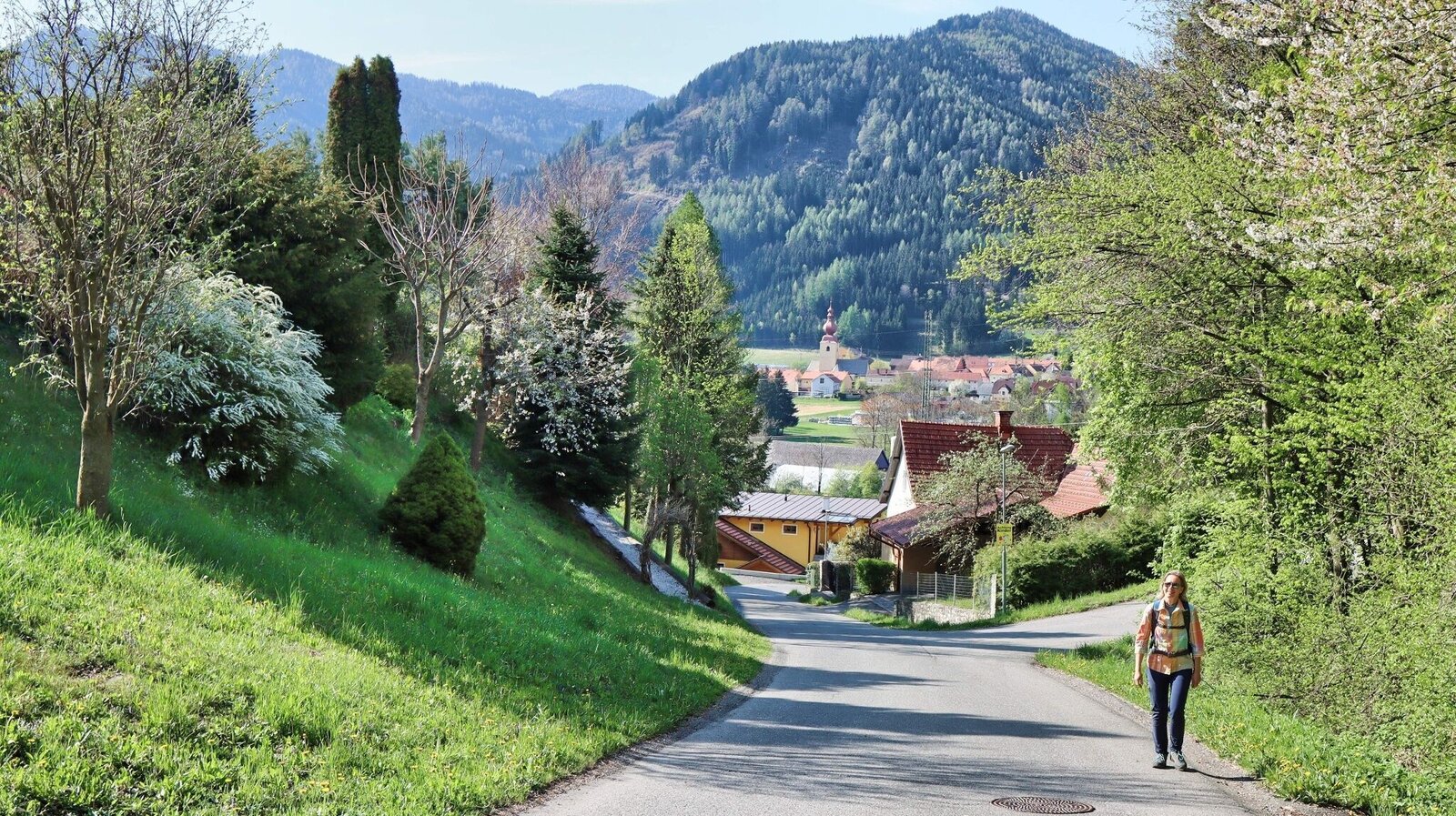
Wir wandern von der Ortschaft St. Georgen weg | © Weges OG | Weges OG
4/13
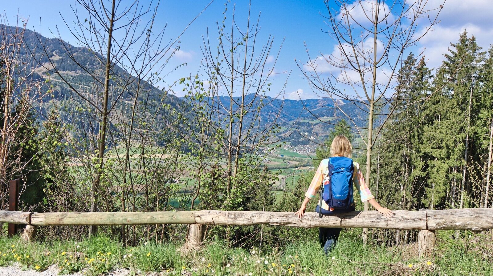
Wir genießen die Aussicht | © Weges OG | Weges OG
5/13
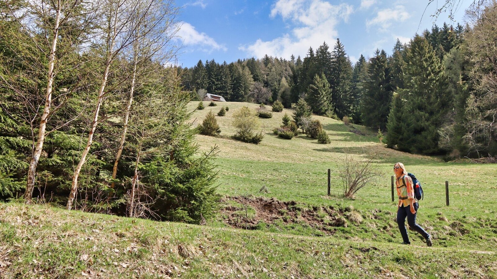
Aufstieg über die Almflächen der Nußmoaralm | © Weges OG | Weges OG
6/13
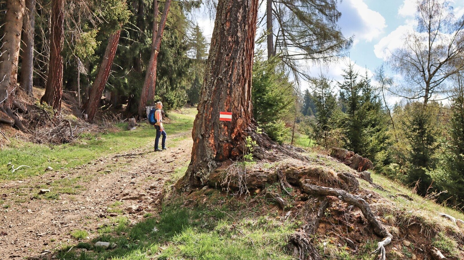
Der Weg ist gut markiert | © Weges OG | Weges OG
7/13
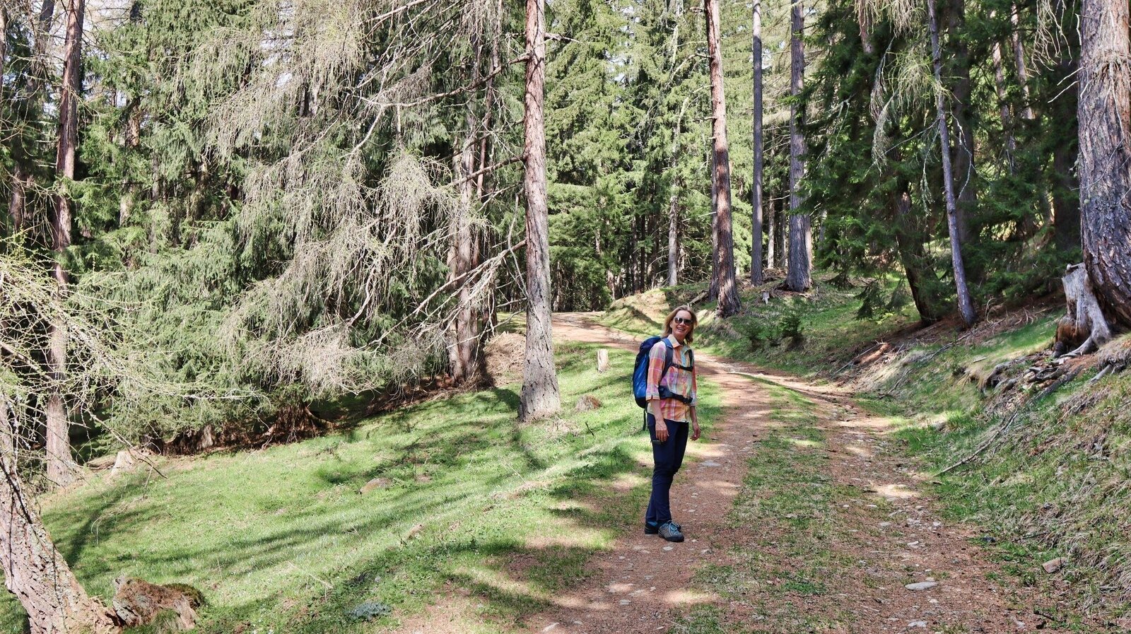
Der Weg führt durch lichten Wald | © Weges OG | Weges OG
8/13
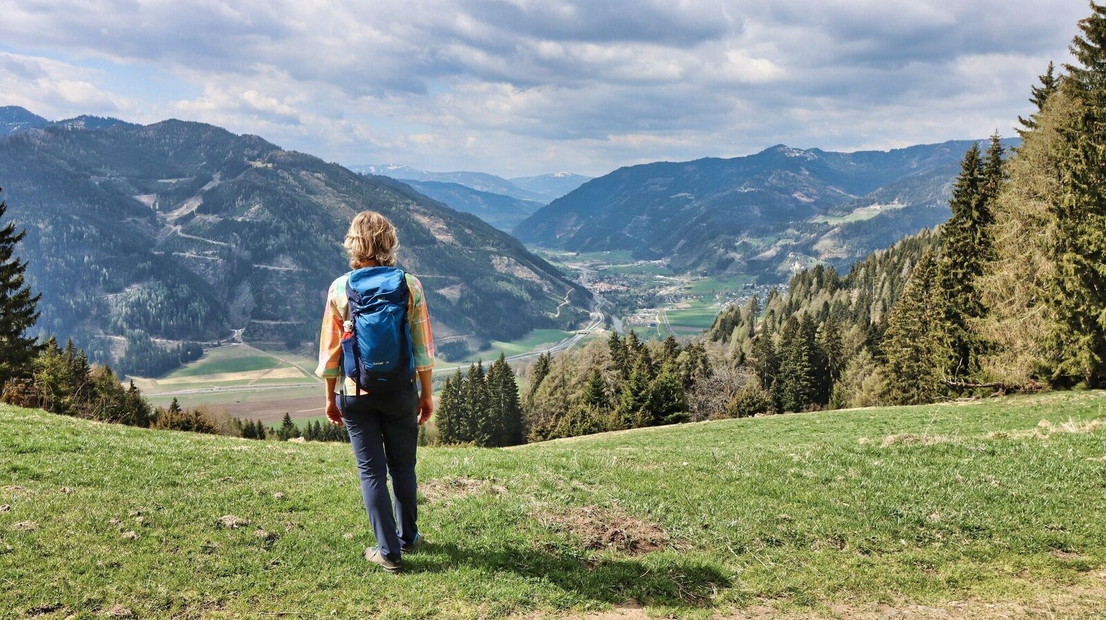
Immer wieder sehr schöne Ausblicke ins Murtal | © Weges OG | Weges OG
9/13
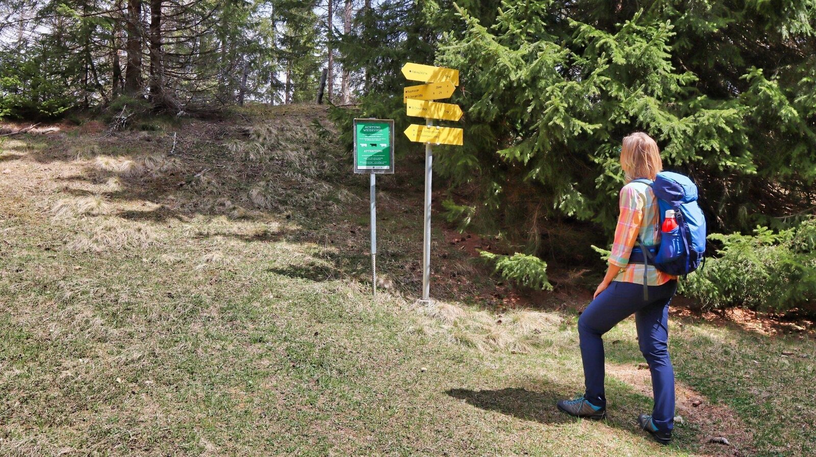
Am Habringsattel | © Weges OG | Weges OG
10/13
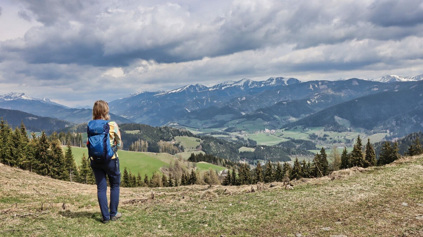
Kurzer Abstecher - St.Oswald Blick | © Weges OG | Weges OG
11/13
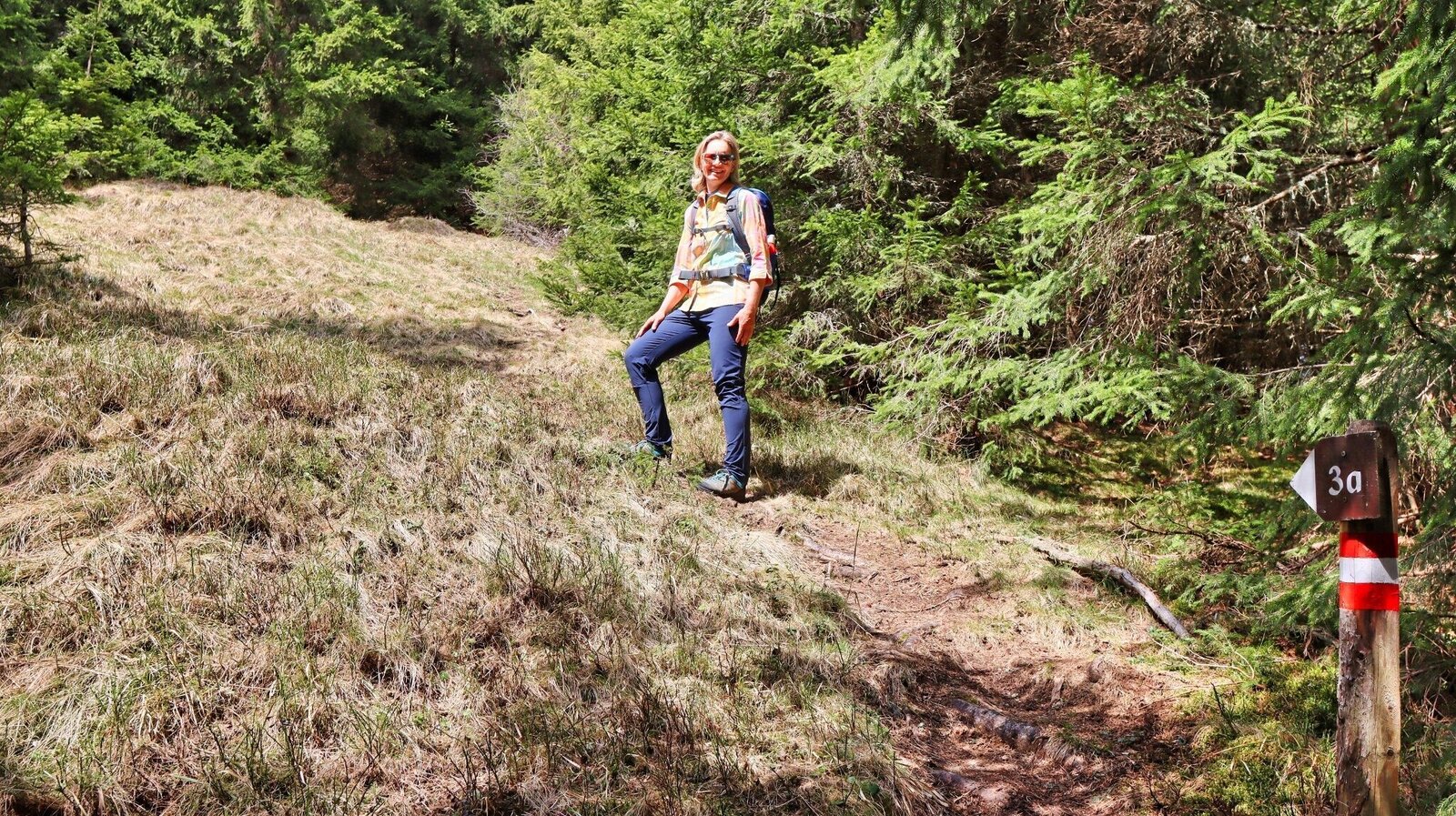
Vom Habringsattel geht es kurz etwas steiler bergauf | © Weges OG | Weges OG
12/13
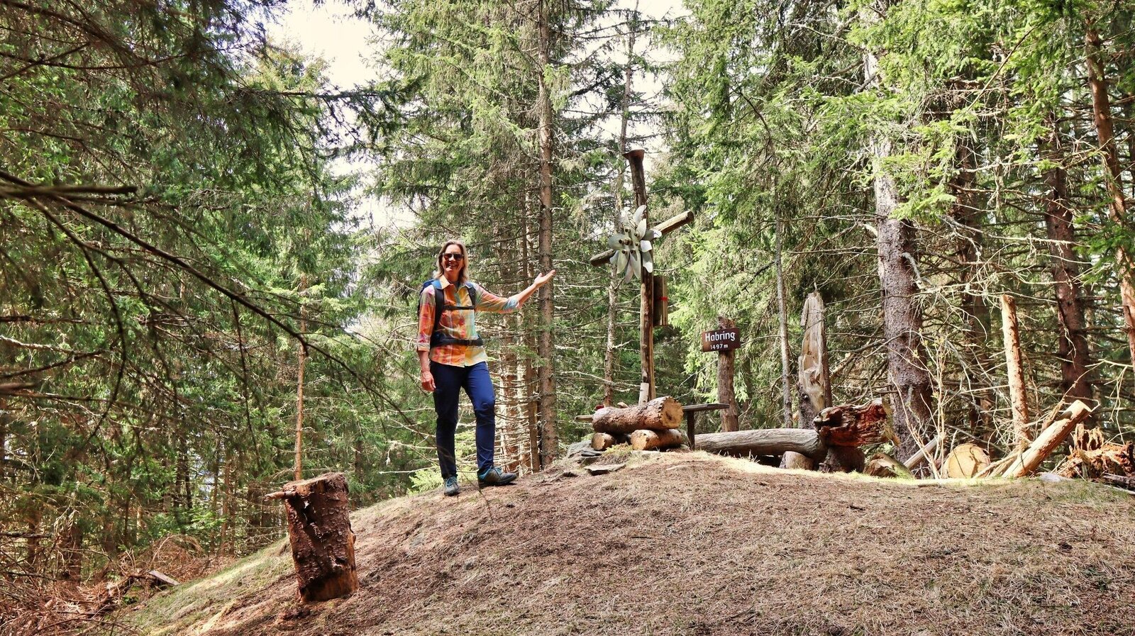
Gipfelkreuz am Habring | © Weges OG | Weges OG
13/13

What the weather will be like St. Georgen ob Judenburg (737m)
Today, 13.10.2026
Dry and sunny throughout the day with hardly any clouds.Morning

1°C
sr.Regenwahrscheinlichkeit
0%
sr.Windstärke
0 km/h
Noon
15°C
sr.Regenwahrscheinlichkeit
0%
sr.Windstärke
5 km/h
Night
8°C
sr.Regenwahrscheinlichkeit
0%
sr.Windstärke
5 km/h
Tomorrow, 14.10.2026
Rather cloudy in the morning, then sunny spells will develop gradually.Morning

6°C
sr.Regenwahrscheinlichkeit
50%
sr.Windstärke
5 km/h
Noon

16°C
sr.Regenwahrscheinlichkeit
45%
sr.Windstärke
0 km/h
Night
10°C
sr.Regenwahrscheinlichkeit
15%
sr.Windstärke
5 km/h
Forecast
15.10.2026

6°C
18°C
16.10.2026
5°C
18°C
17.10.2026
4°C
17°C
