


Großer Ringkogel starting from Gaal
Characteristics
FitnessThe tour in numbers
Level of difficulty
challenging
Route
19,3 km
Time
7:30 h
Uphill
1400 hm
Downhill
1400 hm
Highest point
2277 m
Very long ascent to the broad ridges of the Kleiner and Großer Ringkogel.
You start at the Gaalreiter and from here you hike up to the Repenstein (1,958m) on marked paths. You follow trail no. 980 and first reach the Kleiner Ringkogel and only a little later the Großer Ringkogel (2,277).
Best season
January
February
March
April
May
June
July
August
September
October
November
December
More information
Exit Knittelfeld West on the S36 - direction Gaal
Gratis parken
Gratis parken
Demanding mountain tour partly in alpine pasture terrain
You start at the Gaalreiter and from here you hike up to the Repenstein (1,958m) on marked paths. You follow trail no. 980 and first reach the Kleiner Ringkogel and only a little later the Großer Ringkogel (2,277).
Avoid time pressure and choose the speed so that no one in the group gets out of breath.
Falls, as a result of slipping or tripping, are the most common cause of accidents! Note that too fast a pace or fatigue will severely affect your surefootedness and concentration.
Good hiking boots protect and relieve the foot and improve surefootedness! When making your choice, look for a perfect fit, non-slip tread sole, waterproofness and light weight.Adapt your equipment to your hike and make sure your backpack is lightweight. Nevertheless, rain, cold and sun protection always belong in your backpack, as well as a first aid kit and cell phone (Euro emergency call 112). Map or GPS support the orientation.
Take special care in bad weather!
Public transportation not possible.
More information at www.murtal.at/wandern Wanderkarte freytag & berndt WK 212 Seetaler Alpen, Seckauer Alpen, Judenburg, Knittelfeld
Wegnummer: 35, 980
In the Murtal region there are three free hiking maps that show the entire region with the Seetaler Alps, Seckauer-, Wölzer-, Rottenmanner Tauern, Stubalpe and the Pöls- and Murtal. The maps are in scale 1.50.000.Map & downloads
Gallery
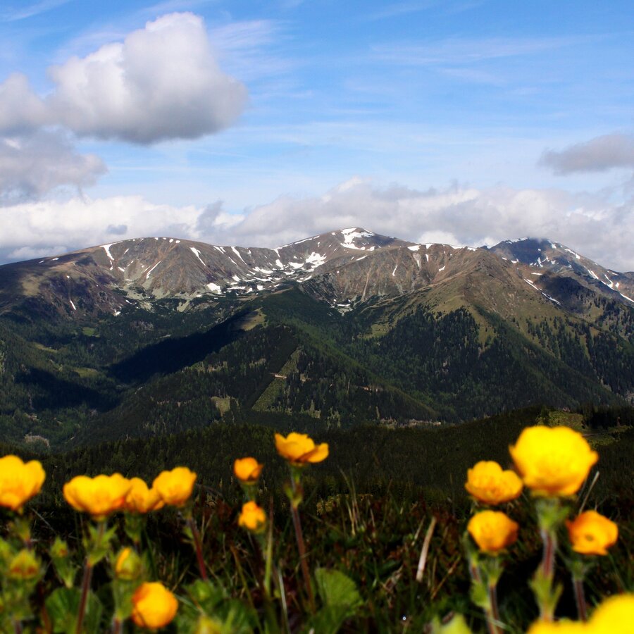
Ringkogel | © Wolfgang Mitteregger | Wolfgang Mitteregger
1/4
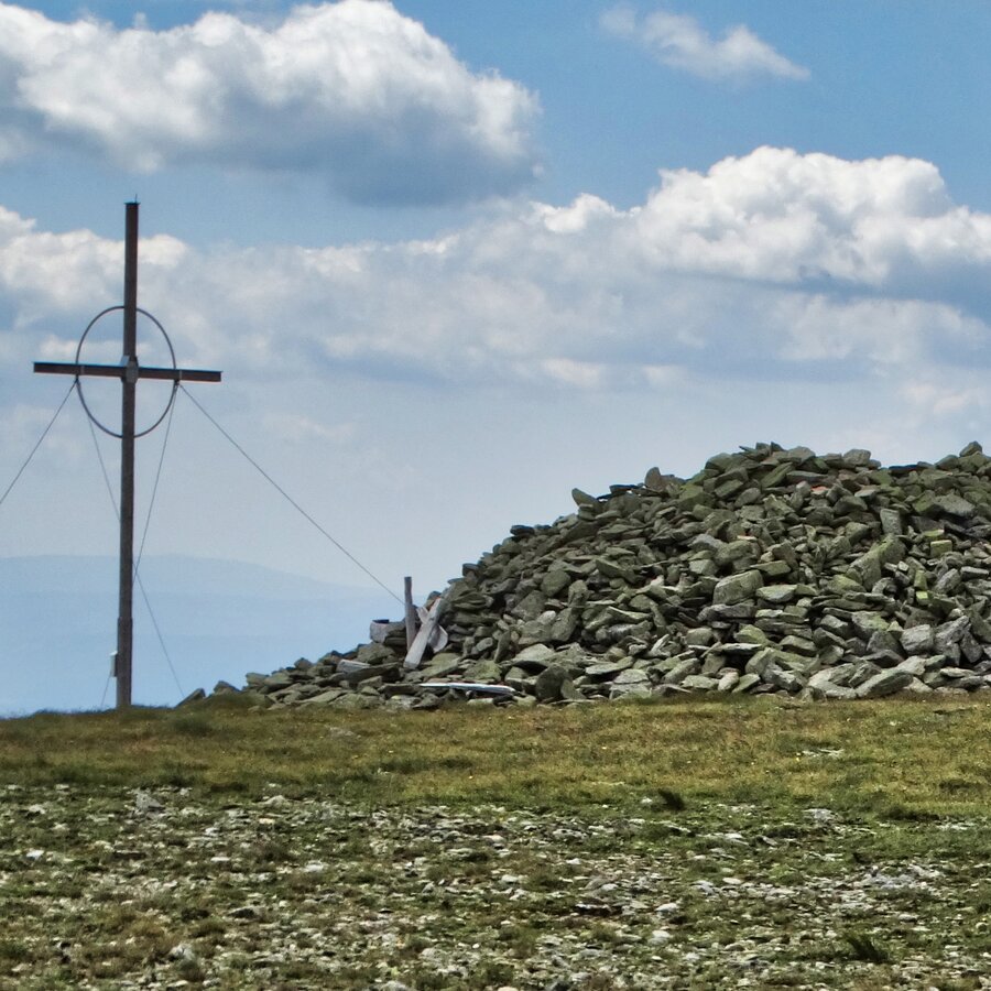
Gipfel Ringkogel in der Gaal | © Erlebnisregion Murtal | Helene Steiner
2/4
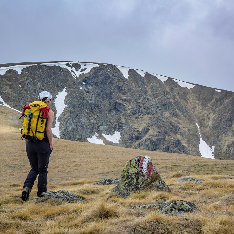
Am Kleinen Ringkogel. Blick Richtung Großen Ringkogel | © Erlebnisregion Murtal | Martin Edlinger
3/4
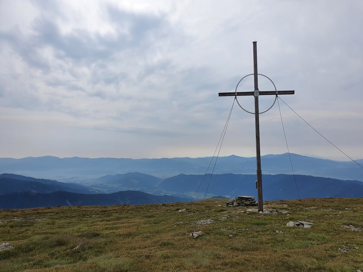
großer ringkogel von der gaal_img_94997344 | © Erlebnisregion Murtal | Martin Muhrer
4/4

What the weather will be like Gaal (874m)
Today, 23.10.2026
The day starts sunny, but will be partly cloudy in the afternoon.Morning

-1°C
sr.Regenwahrscheinlichkeit
0%
sr.Windstärke
5 km/h
Noon

10°C
sr.Regenwahrscheinlichkeit
0%
sr.Windstärke
5 km/h
Night
5°C
sr.Regenwahrscheinlichkeit
0%
sr.Windstärke
5 km/h
Tomorrow, 24.10.2026
Scattered showers in the beginning, gradually becoming sunny in the afternoon.Morning

3°C
sr.Regenwahrscheinlichkeit
75%
sr.Windstärke
5 km/h
Noon

6°C
sr.Regenwahrscheinlichkeit
65%
sr.Windstärke
10 km/h
Night
3°C
sr.Regenwahrscheinlichkeit
30%
sr.Windstärke
5 km/h
Forecast
25.10.2026
0°C
9°C
26.10.2026

2°C
12°C
27.10.2026
2°C
14°C
