


Geierkogel
Characteristics
SkillThe tour in numbers
Level of difficulty
challenging
Route
14,0 km
Time
5:30 h
Uphill
988 hm
Downhill
988 hm
Highest point
2231 m
The Geierkogel is a quiet, less frequented summit in the Rottenmanner Tauern - perfect for connoisseurs. Without any technical difficulties, but with moderate stamina, the route leads through beautiful terrain, with great views of the Gamskögel, Bösenstein & Co. Ideal for a longer hike.
The Geierkogel is a summit that tends to lead a shadowy existence in the Rottenmanner Tauern. However, with a little stamina, but without any major technical difficulties, it is easy to hike - a real insider tip for connoisseurs.
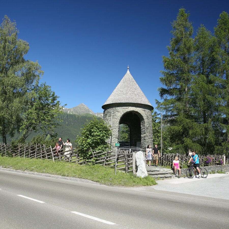
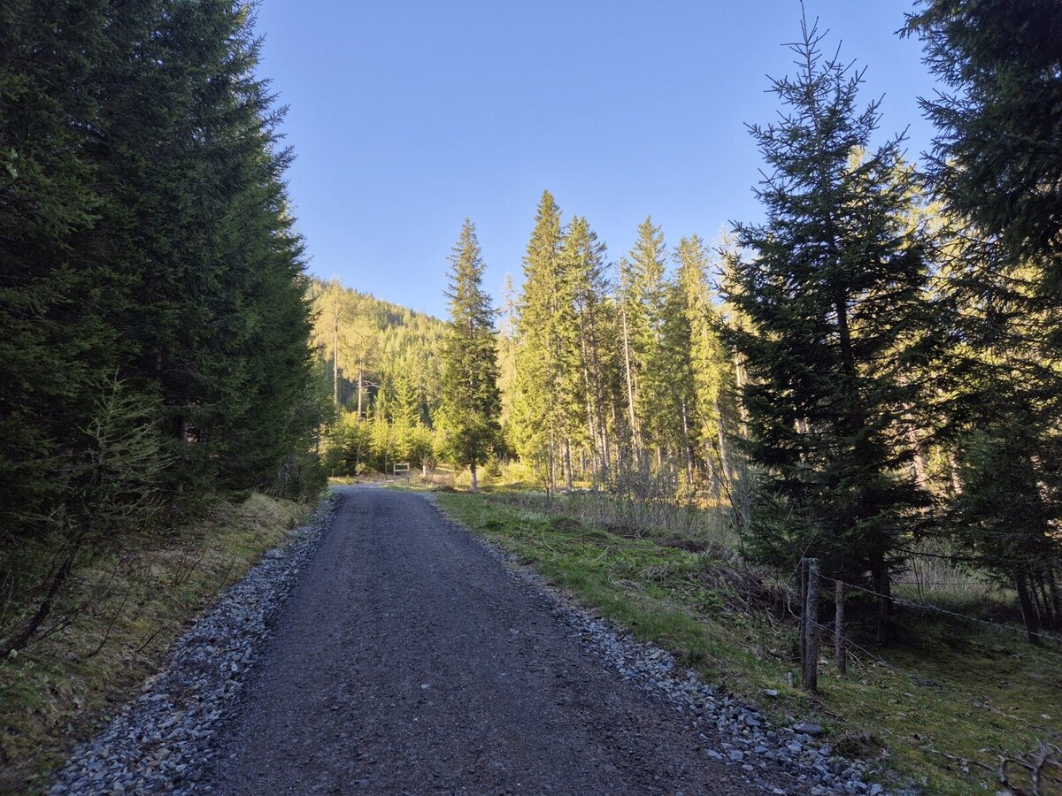
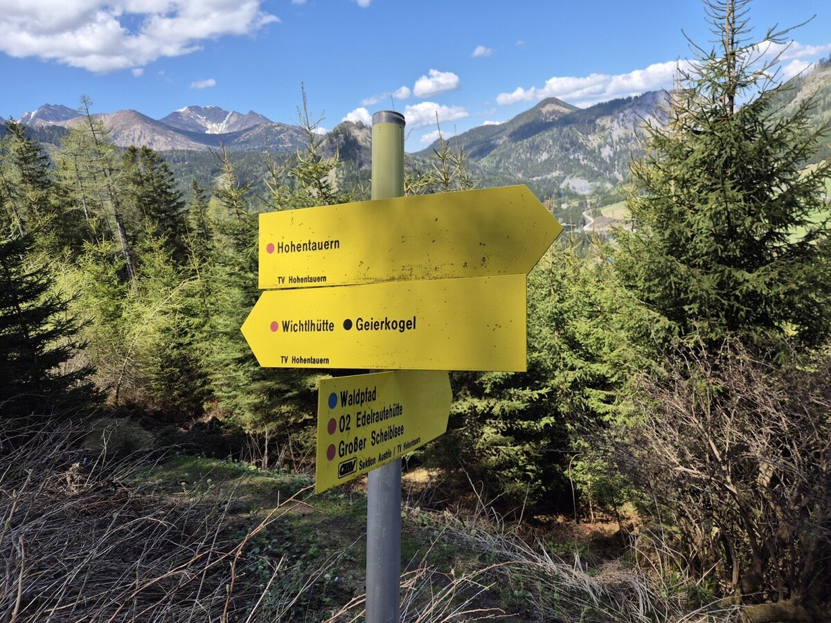
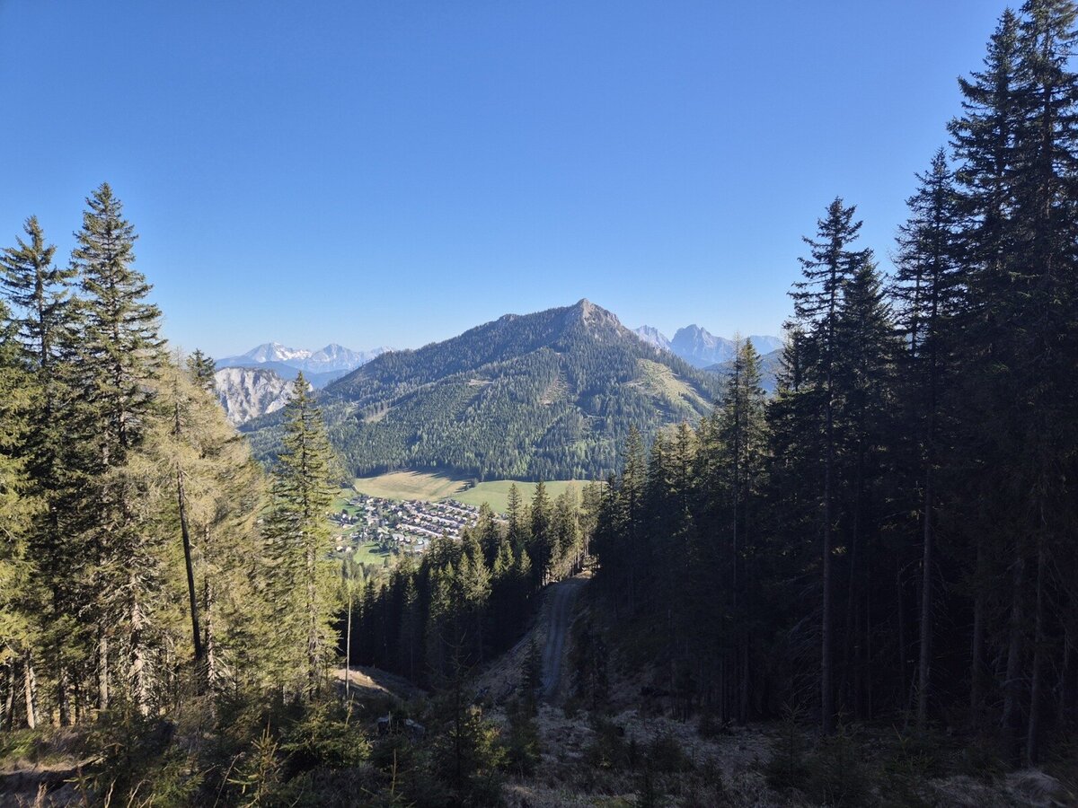
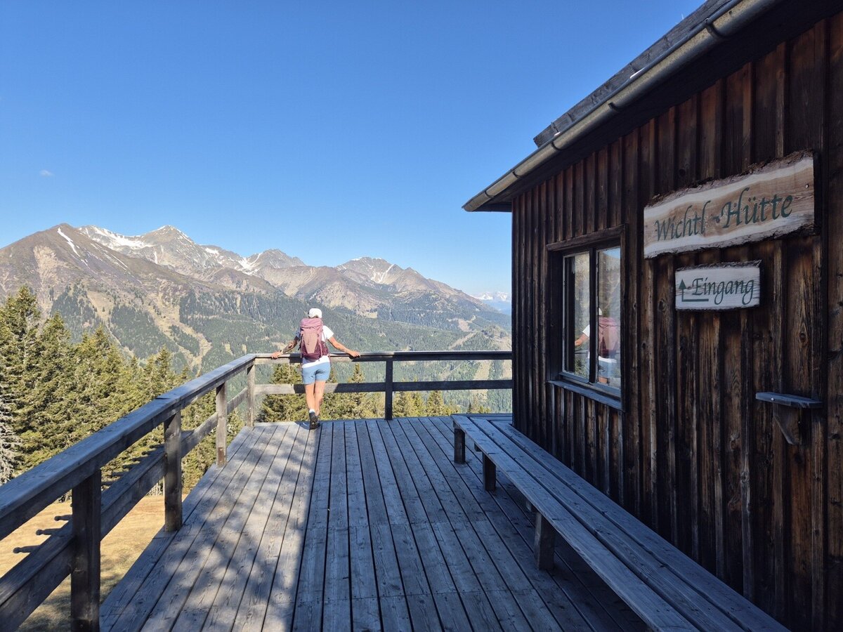
The starting point of our tour is the large parking lot at the top of the pass in Hohentauern. From there, we follow the B114 westwards for a few steps before turning onto a forest path, which is also part of hiking trail 02A. The trail now climbs steadily for about an hour - bend after bend, meter by meter. At around 1,670 meters above sea level, we leave the forest path and cross the slope to the Wichtelhütte, where we can take a short break for a drink.
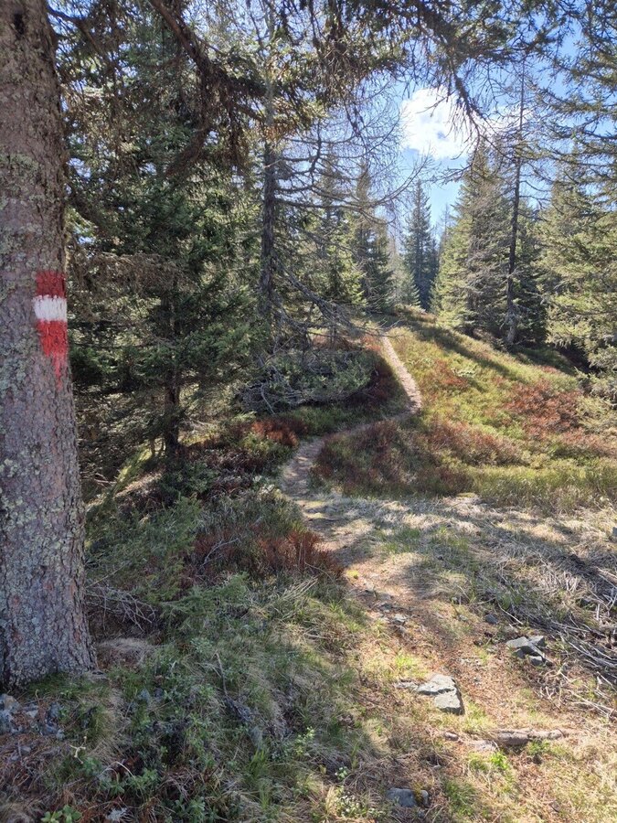
Continue south along trail 902 - a truly fantastic section through shady forest and later across open alpine pastures. Breathtaking views of the surrounding mountains open up again and again. The path becomes a little steeper over the Kainzenboden and we reach the first hilltop. The next intermediate destination lies ahead of us: an unnamed elevation, which we climb a little later.
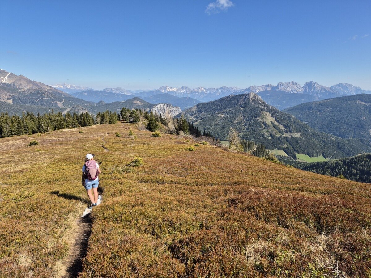
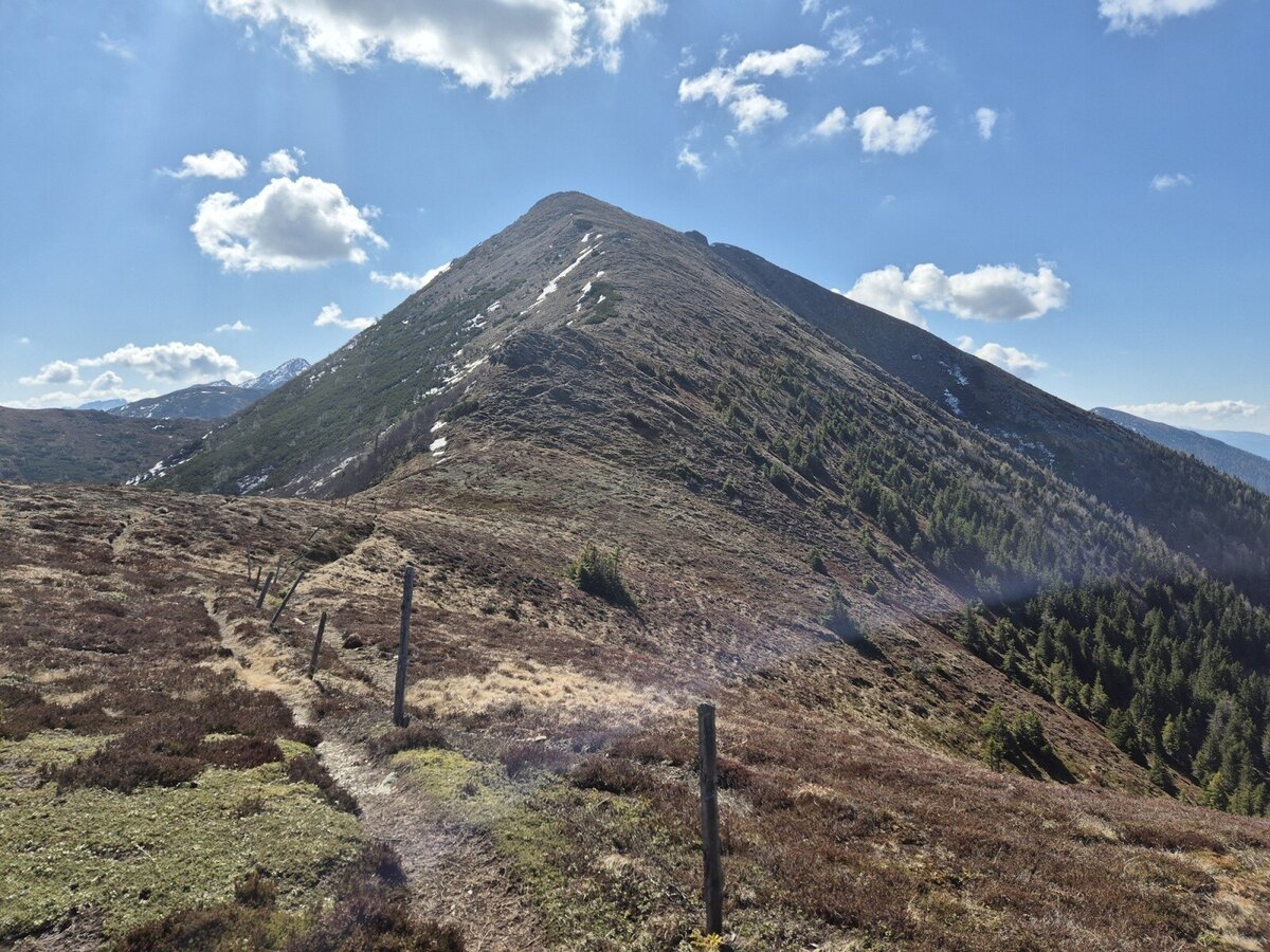
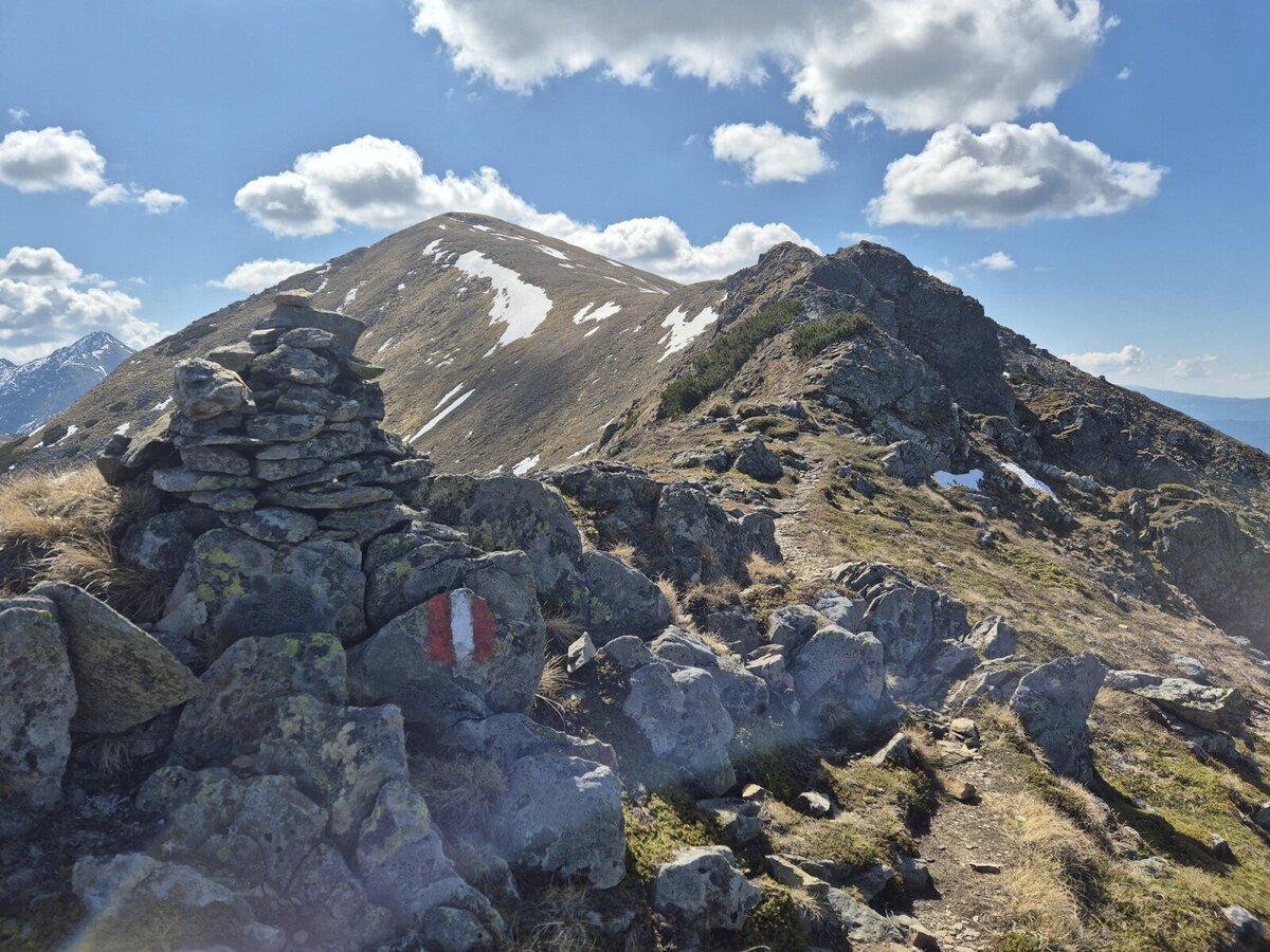
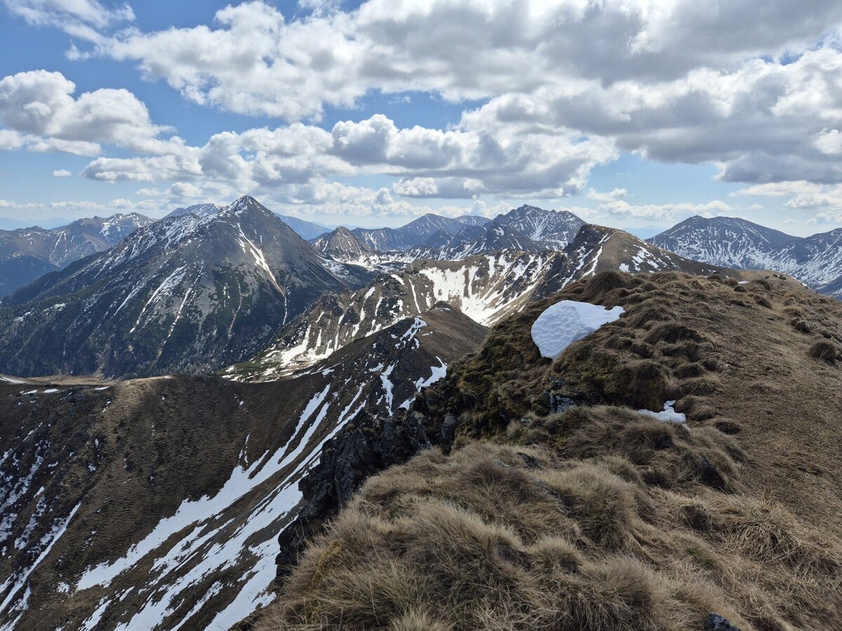
The path now winds its way along slightly sloping terrain - but with a little care, it is perfectly easy. Simply follow the markings. The path continues steadily, but not steeply, up to a kind of pre-summit of the Geierkogel. From there, we see our destination for the first time - an impressive panorama, especially in spring: the slopes are still partly covered in snow, while the sun bathes the vegetation in warm shades of brown, gold and yellow. The striking Gamskögel rises up in the background - a real postcard motif.
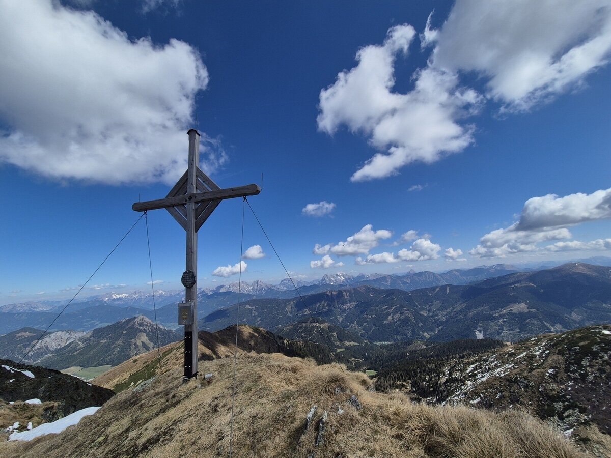
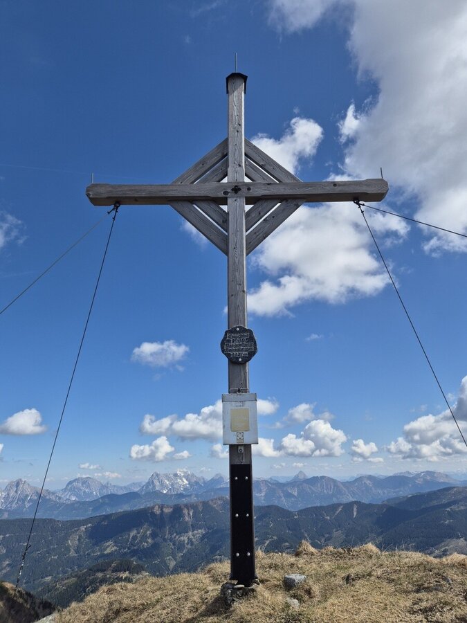
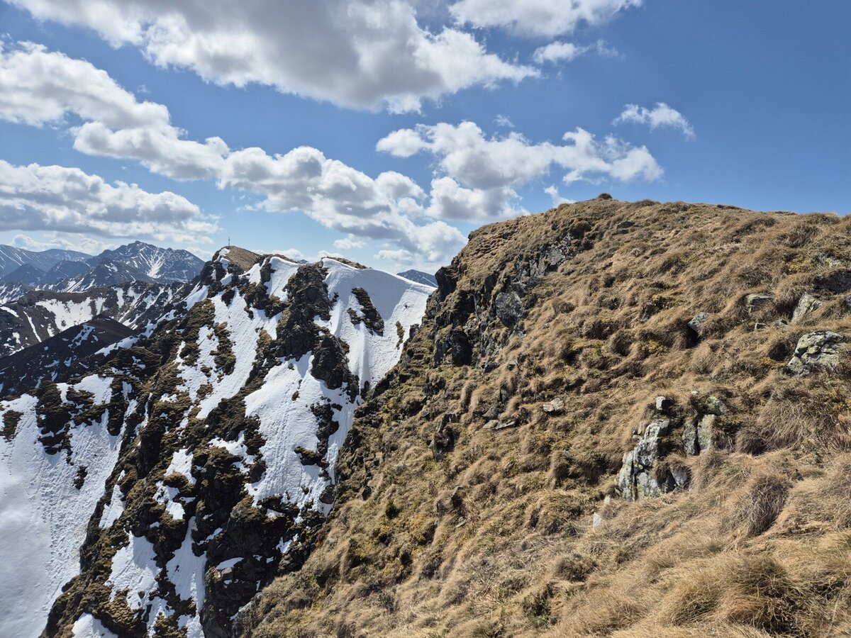
A short descent introduces the final ascent. Another 30 to 40 meters in altitude separate us from the summit. Finally, we stand at the beautiful wooden cross of the Geierkogel at 2,231 meters above sea level.
A good three hours after the start, we can enjoy a well-earned snack - surrounded by an impressive backdrop: opposite the Bruderkogel, a little further to the right the Große Bösenstein, Dreistecken, Hochhaide, and further east the Warscheneck, the Kalbling and the Reichenstein.
For the descent, we choose the ascent route again. Shortly before the Wichtelhütte, there is the option of descending more steeply via the slope or taking a shortcut - but we decide to take the forest path, which is easier on the joints. After about 5.5 hours of walking, we arrive back at the starting point.
The hike to the Geierkogel, with an altitude difference of around 1,000 meters, is varied and scenic - an ideal summit for anyone who wants to enjoy a piece of unspoilt mountain scenery away from the well-known routes. Although the Geierkogel stands in the shadow of the Grießstein, Gamskögel and co., this is precisely where its special charm lies.
The starting point of our tour is the large parking lot at the top of the pass in Hohentauern. From there, we follow the B114 westwards for a few steps before turning onto a forest path, which is also part of hiking trail 02A. The trail now climbs steadily for about an hour - bend after bend, meter by meter. At around 1,670 meters above sea level, we leave the forest path and cross the slope to the Wichtelhütte, where we can take a short break for a drink.
Continue south along trail 902 - a truly fantastic section through shady forest and later across open alpine pastures. Breathtaking views of the surrounding mountains open up again and again. The path becomes a little steeper over the Kainzenboden and we reach the first hilltop. The next intermediate destination lies ahead of us: an unnamed elevation, which we climb a little later.
The path now winds its way along slightly sloping terrain - but with a little care, it is perfectly easy. Simply follow the markings. The path continues steadily, but not steeply, up to a kind of pre-summit of the Geierkogel. From there, we see our destination for the first time - an impressive panorama, especially in spring: the slopes are still partly covered in snow, while the sun bathes the vegetation in warm shades of brown, gold and yellow. The striking Gamskögel rises up in the background - a real postcard motif.
A short descent introduces the final ascent. Another 30 to 40 meters in altitude separate us from the summit. Finally, we stand at the beautiful wooden cross of the Geierkogel at 2,231 meters above sea level.
A good three hours after the start, we can enjoy a well-earned snack - surrounded by an impressive backdrop: opposite the Bruderkogel, a little further to the right the Große Bösenstein, Dreistecken, Hochhaide, and further east the Warscheneck, the Kalbling and the Reichenstein.
For the descent, we choose the ascent route again. Shortly before the Wichtelhütte, there is the option of descending more steeply via the slope or taking a shortcut - but we decide to take the forest path, which is easier on the joints. After about 5.5 hours of walking, we arrive back at the starting point.
The hike to the Geierkogel, with an altitude difference of around 1,000 meters, is varied and scenic - an ideal summit for anyone who wants to enjoy a piece of unspoilt mountain scenery away from the well-known routes. Although the Geierkogel stands in the shadow of the Grießstein, Gamskögel and co., this is precisely where its special charm lies.
Best season
January
March
March
April
May
June
July
August
September
October
November
December
More information
Coming via the A9, take the Trieben exit, then follow the B114 to Hohentauern.
large parking lot directly at the top of the pass or a slightly smaller one at the municipal office in Hohentauern
Coming via the S36, turn onto the B114 at St. Peter from Judenburg and follow it to Hohentauern.
large parking lot directly at the top of the pass or a slightly smaller one at the municipal office in Hohentauern
The starting point is the large parking lot in Hohentauern (approx. 1,270 m). First follow the B114 briefly westwards, then turn right onto a forest path (path 02A). Continue uphill at a moderate gradient for about 1 hour until you cross the ski slope at approx. 1,670 m. Continue to the Wichtelhütte (short rest stop).
From here, follow trail 902 southwards. The trail leads through forest and later over open alpine pastures with great views. The terrain becomes somewhat steeper over the Kainzenboden. Two terrain crests are passed one after the other - sometimes slightly sloping, but well marked.
At the pre-summit, you have your first view of your destination: the Geierkogel (2,231 m). A short descent is followed by the final ascent (approx. 30-40 m) to the summit cross. For the descent, we recommend taking the same route back via the forest path - easy on the joints and safe for orientation
From here, follow trail 902 southwards. The trail leads through forest and later over open alpine pastures with great views. The terrain becomes somewhat steeper over the Kainzenboden. Two terrain crests are passed one after the other - sometimes slightly sloping, but well marked.
At the pre-summit, you have your first view of your destination: the Geierkogel (2,231 m). A short descent is followed by the final ascent (approx. 30-40 m) to the summit cross. For the descent, we recommend taking the same route back via the forest path - easy on the joints and safe for orientation
For a conflict-free coexistence on alpine pastures and meadows it is important to observe a few rules, especially when traveling with dogs. (Source: www.sichere-almen.at - 06/2021)
- Avoid contact with grazing animals, do not feed them, keep a safe distance!
- Keep calm, do not frighten grazing animals!
- Mother cows protect their calves. Avoid encounters between mother cows and dogs!
- Always keep dogs under control and on a short leash. If an attack by a grazing animal is foreseeable: Immediately unleash!
- Do not leave hiking trails on alpine pastures and meadows!
- If grazing animals block the way, avoid them as far as possible!
- When grazing animals approach: Stay calm, do not turn your back, avoid the animals!
- Leave the grazing area quickly at the first sign of restlessness of the animals!Fences must be respected!
- If there is a gate, use it, then close it well and cross the pasture quickly!
- Treat the people working here, nature and the animals with respect!
A few tips for correct and fair behavior in the forest: (Source: www.bundesforste.at - 6/2021)
- Hikers should avoid visits to the forest about 1.5 hours before sunrise and after sunset, as wildlife is especially active during this time.
- Plastic bottles, handkerchiefs, cigarette butts & Co have no place in the forest! Please make sure that you do not leave any trash in the forest.
- Camping and making fire - is strictly forbidden in the forest!
- In principle, each person is allowed to collect 2 kg of mushrooms and berries per day for personal use in the forest. It is only forbidden if the forest owner expressly forbids it.
Alpine emergency call:
Mountain rescue emergency number: 140
EU emergency number: 112
Weather service: www.zamg.ac.at
Direct link mountain weather Styria: https://www.zamg.ac.at/cms/de/wetter/produkte-und-services/bergwetter/steiermark
- Backpack with rain cover
- Telescopic / hiking poles
- Mountain / hiking boots
- Gloves: waterproof and warming
- Headgear / sunglasses
- Outerwear: Onion layer system, T-shirt, sweater, jacket and winter jacket with hood
- Hiking pants
- Seat pad
- Drinking bottle / thermos flask (on cooler days a warming drink is pleasant)
- Snack
- First aid kit with blister plaster and tick tongs
Other important equipment
- Route descriptionDetailed
- plan of the hike
- Hiking map: For overview a map in scale 1 : 50 000 of the respective region
- GPS device
- cell phone
Information on public transportation can be found at www.verbundlinie.at
More information at www.murtal.at/wandern or Bergfex Martin
Map & downloads
Gallery
geierkogel-hohentauern-murtal-steiermark_c_martin_muhrer_bergfexmartin_10.jpg | © Martin Muhrer/Bergfex Martin | Martin Muhrer/Bergfex Martin
1/13
Parkplatz Passhöhe Hoehntauern mit Kriegerdenkmal | © Erlebnisregion Murtal | Herbert Raffalt
2/13
geierkogel-hohentauern-murtal-steiermark_c_martin_muhrer_bergfexmartin_2.jpg | © Martin Muhrer/Bergfex Martin | Martin Muhrer/Bergfex Martin
3/13
geierkogel-hohentauern-murtal-steiermark_c_martin_muhrer_bergfexmartin_12.jpg | © Martin Muhrer/Bergfex Martin | Martin Muhrer/Bergfex Martin
4/13
geierkogel-hohentauern-murtal-steiermark_c_martin_muhrer_bergfexmartin_3.jpg | © Martin Muhrer/Bergfex Martin | Martin Muhrer/Bergfex Martin
5/13
geierkogel-hohentauern-murtal-steiermark_c_martin_muhrer_bergfexmartin_4.jpg | © Martin Muhrer/Bergfex Martin | Martin Muhrer/Bergfex Martin
6/13
geierkogel-hohentauern-murtal-steiermark_c_martin_muhrer_bergfexmartin_5.jpg | © Martin Muhrer/Bergfex Martin | Martin Muhrer/Bergfex Martin
7/13
geierkogel-hohentauern-murtal-steiermark_c_martin_muhrer_bergfexmartin_6.jpg | © Martin Muhrer/Bergfex Martin | Martin Muhrer/Bergfex Martin
8/13
geierkogel-hohentauern-murtal-steiermark_c_martin_muhrer_bergfexmartin_7.jpg | © Martin Muhrer/Bergfex Martin | Martin Muhrer/Bergfex Martin
9/13
geierkogel-hohentauern-murtal-steiermark_c_martin_muhrer_bergfexmartin_8.jpg | © Martin Muhrer/Bergfex Martin | Martin Muhrer/Bergfex Martin
10/13
geierkogel-hohentauern-murtal-steiermark_c_martin_muhrer_bergfexmartin_1.jpg | © Martin Muhrer/Bergfex Martin | Martin Muhrer/Bergfex Martin
11/13
geierkogel-hohentauern-murtal-steiermark_c_martin_muhrer_bergfexmartin_9.jpg | © Martin Muhrer/Bergfex Martin | Martin Muhrer/Bergfex Martin
12/13
geierkogel-hohentauern-murtal-steiermark_c_martin_muhrer_bergfexmartin_11.jpg | © Martin Muhrer/Bergfex Martin | Martin Muhrer/Bergfex Martin
13/13

What the weather will be like Hohentauern (1272m)
Today, 30.09.2026
Dry and sunny throughout the day with hardly any clouds.Morning

8°C
sr.Regenwahrscheinlichkeit
0%
sr.Windstärke
5 km/h
Noon
17°C
sr.Regenwahrscheinlichkeit
0%
sr.Windstärke
10 km/h
Night
9°C
sr.Regenwahrscheinlichkeit
0%
sr.Windstärke
10 km/h
Tomorrow, 01.10.2026
Dry and bright with plenty of sunshine, clouds will be rare.Morning
5°C
sr.Regenwahrscheinlichkeit
0%
sr.Windstärke
5 km/h
Noon
16°C
sr.Regenwahrscheinlichkeit
0%
sr.Windstärke
5 km/h
Night

9°C
sr.Regenwahrscheinlichkeit
0%
sr.Windstärke
10 km/h
Forecast
02.10.2026

5°C
17°C
03.10.2026
4°C
17°C
04.10.2026
5°C
16°C
