


A short walk from Hohentauern
Characteristics
SkillThe tour in numbers
Level of difficulty
easy
Route
4,3 km
Time
1:30 h
Uphill
126 hm
Downhill
130 hm
Highest point
1312 m
A short and varied walk starting from Hohentauern. The circular route, which is around 4.3 kilometres long, takes you through peaceful woodland and meadow areas and combines gentle stretches with a few short climbs.
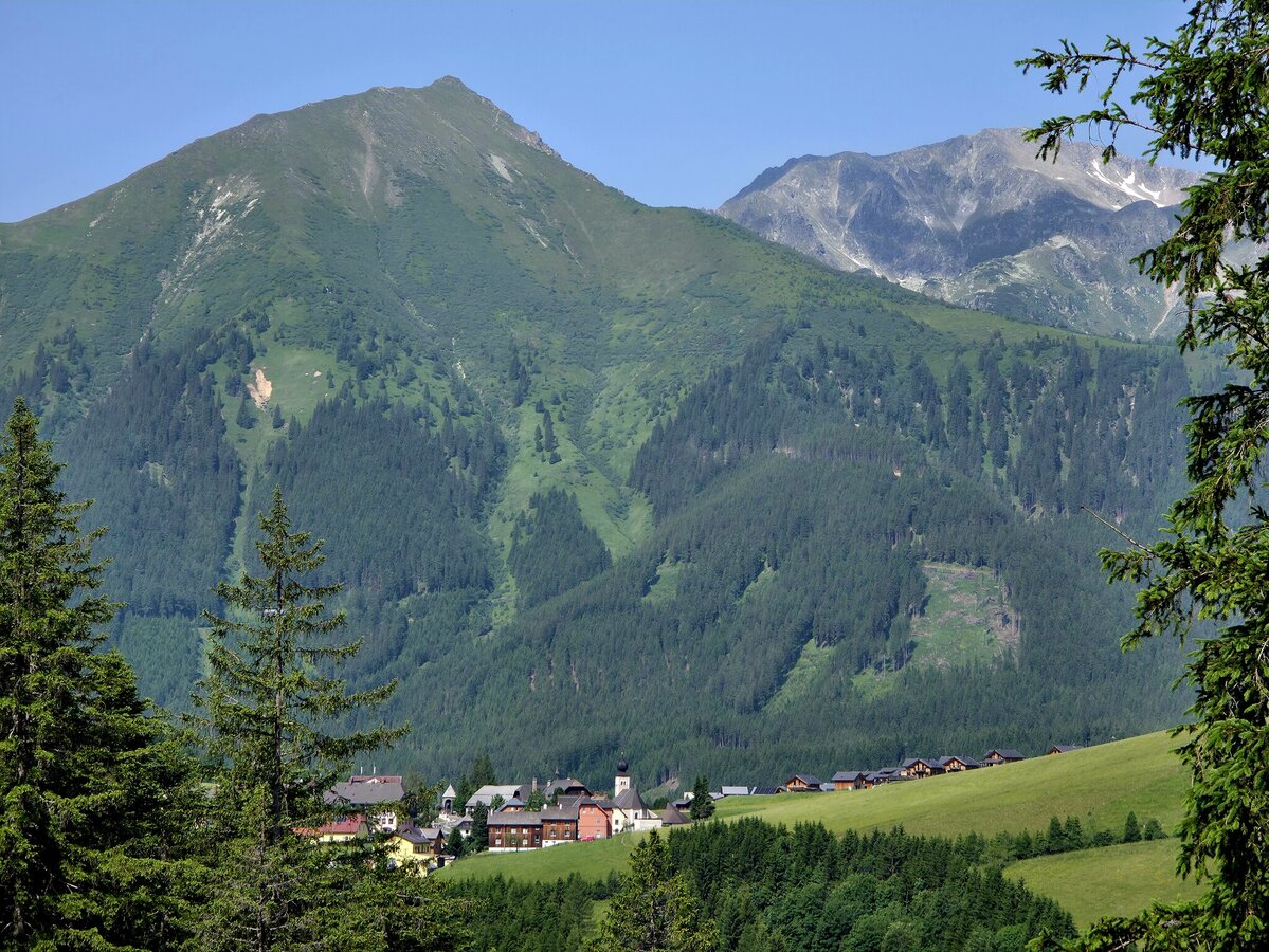
This short circular walk starts in Hohentauern and is ideal for anyone who wants to go for a short hike without having to plan a long route. The trail covers around 4.3 kilometres through the mountainous landscape surrounding the village, gaining around 215 metres in altitude. The route climbs gently at the start and reaches the highest point of the loop quite early on. This is followed by longer, gently descending sections through woodland and meadows. After the lowest point, there is one final noticeable climb back towards Hohentauern. Parts of the return route run along a track also used by mountain bikers. It is therefore important to take particular care and show consideration for others here.
Best season
January
February
March
April
May
June
July
August
September
October
November
December
More information
By Car
From Vienna (approx. 2.5 hours):
- Take the A2 towards Graz.
- At Seebenstein junction, switch to the S6 towards Bruck an der Mur.
- Continue on the S6 to St. Michael junction, then join the A9 towards Linz.
- Take the Trieben exit.
- Follow the B114 over the Triebener Tauern Pass to Hohentauern.
- Several public parking areas are available in the village centre.
From Graz (approx. 1.5 hours):
- Take the A9 towards Linz/Salzburg.
- Take the Trieben exit.
- Follow the B114 over the Triebener Tauern Pass to Hohentauern.
- Several public parking areas are available in the village centre.
From Salzburg (approx. 2.5 hours):
- Take the A10 towards Villach.
- At exit 63-Altenmarkt, change to the B320 towards Radstadt/Schladming.
- Continue via Schladming to Liezen.
- Join the A9 towards Graz.
- Take the Trieben exit.
- Follow the B114 over the Triebener Tauern Pass to Hohentauern.
- Several public parking areas are available in the village centre.
a large car park right at the top of the pass, or a slightly smaller one by the town hall in Hohentauern
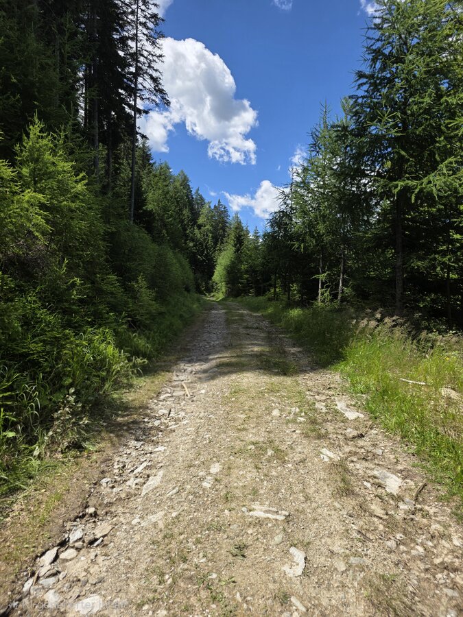
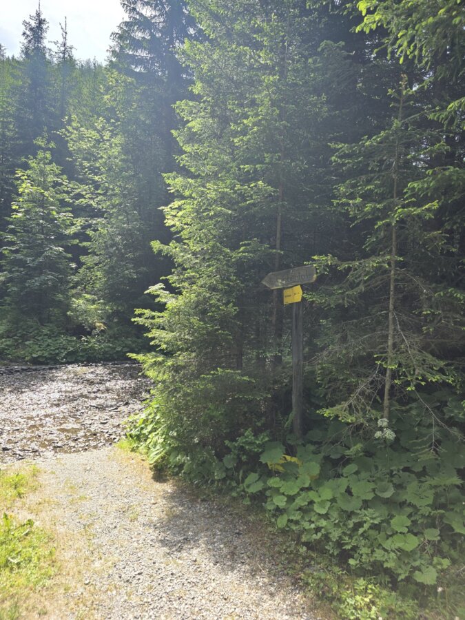
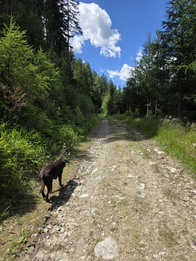
From the starting point in Hohentauern, you initially follow the signposts towards Hasensattel on a gentle climb. The route reaches its highest point, at around 1,310 metres, in the very first section. As soon as you come across the first sign for the mountain bike trail, follow it downhill. The route winds through varied woodland and meadow areas, passing small streams and gradually losing altitude. Shaded sections provide pleasant coolness for most of the day. At the lowest point of the circuit, the return journey to Hohentauern begins. This section climbs noticeably once more and follows the Alte Tauernstraße, which is used both as a mountain bike route and a local access road. Please therefore walk carefully, watch out for oncoming cyclists and give way in good time if necessary. After the final climb, you’ll reach the starting point in Hohentauern again.
We recommend sturdy, comfortable shoes with good tread, as well as clothing suitable for the weather. You should also bring drinks and the GPX track for navigation. Trail conditions may change due to rain and weather. Damp sections of woodland and meadows can be slippery. The return route is also used by mountain bikers in places. Please remain alert, be considerate of other trail users and adapt your walk to your own ability and the current conditions.
You can find information on travelling by public transport at www.verbundlinie.at
Bus stop: Hohentauern Ortt
Bus stop: Hohentauern Ortt
Map & downloads
Gallery
hohentauern-triebental-hasensattel_2026_c_marlene_zandl.jpg | © Marlene Zandl | Marlene Zandl
1/4
hohentauern-triebental-hasensattel_c_marlene_zandl_25.jpg | © Marlene Zandl | Marlene Zandl
2/4
hohentauern-triebental-hasensattel_c_marlene_zandl_2.jpg | © Marlene Zandl | Marlene Zandl
3/4
hohentauern-triebental-hasensattel_2026_c_marlene_zandl_1.jpg | © Marlene Zandl | Marlene Zandl
4/4

What the weather will be like Hohentauern (1272m)
Today, 01.10.2026
Dry and bright with plenty of sunshine, clouds will be rare.Morning

8°C
sr.Regenwahrscheinlichkeit
0%
sr.Windstärke
5 km/h
Noon
17°C
sr.Regenwahrscheinlichkeit
0%
sr.Windstärke
10 km/h
Night

9°C
sr.Regenwahrscheinlichkeit
0%
sr.Windstärke
10 km/h
Tomorrow, 02.10.2026
Dry and partly sunny throughout the day, with cloudy periods from time to time.Morning
6°C
sr.Regenwahrscheinlichkeit
0%
sr.Windstärke
5 km/h
Noon
15°C
sr.Regenwahrscheinlichkeit
0%
sr.Windstärke
5 km/h
Night
8°C
sr.Regenwahrscheinlichkeit
0%
sr.Windstärke
5 km/h
Forecast
03.10.2026
4°C
17°C
04.10.2026
3°C
17°C
05.10.2026

5°C
15°C
