


Tour 67g - MTB Murtal - Brandwaldsteig
Characteristics
SkillThe tour in numbers
Level of difficulty
challenging
Route
2,7 km
Time
0:12 h
Downhill
444 hm
Highest point
1251 m
The "Brandwaldsteig" in the Murtal adventure region in styria is a difficult, natural single trail. Good basic condition and advanced riding technique required. On some passages you might have to push your bike.
The first step is to gain altitude: Via the Geierleitenweg and the Brandnerhubenweg it goes partly on paved ground, partly on easily passable gravel up to the entrance to the Brandwaldsteig. In doing so, you will master more than 400 meters of altitude. Once you've reached the top, you can fill up your water bottle at the fountain and then enjoy the great view of the Murtal adventure region in styria.
As soon as you are ready for fun and action, you enter the Brandwaldsteig. This natural, casual enduro trail is moderately difficult and may only be ridden downhill. The trail descends 444 meters in altitude over 2.7 kilometers. On the way, you have the option of bypassing some trail sections and choosing between variants. At the end, the trail spits you out again on the Geierleitenweg.
Best season
January
March
March
April
May
June
July
August
September
October
November
December
More information
Murtalschnellstraße S36 - exit Knittelfeld OST direction St.Margarethen in Gobernitz after the Mur bridge turn right direction Steinplan.
Knittelfeld train station
Knittelfeld train station
The natural with roots casual enduro trail is moderately difficult and may only be driven downhill.
Special source of danger, roots very slippery when wet!
Walkers and hikers always have priority. A friendly and considerate approach to pedestrians is a prerequisite. In case of encounters, it is important to make yourself noticed with the bell and pass slowly. Walking paths and hiking trails may not be used by mountain bikes.
Our nature and landscape is as good as untouched and beautiful. To keep it that way, we ask vacationers to avoid litter and unnecessary noise. In order not to disturb the animals, the mountain bike trails should only be used during the day:
from June 1 to September 15 from 9.00 a.m. to 7.00 p.m.
from 16 September to 31 October from 9.00 a.m. to 5.00 p.m.
Ride only on cleared, marked trails and never off the beaten path. On the forest paths the road traffic regulations must be observed!
Just as when driving a car, you should always ride on sight when mountain biking. On forest roads, wood on the roadway and motor vehicles are to be expected.
If you encounter grazing livestock on the trail, reduce your speed to walking pace to avoid wrong reactions of the animals. Please always close grazing gates!
Proper self-assessment is necessary in any sport! Do not overstrain yourself with the technique and condition. This will also help you avoid accidents.
Mountain bike: roadworthy (e-)mountain bike with plenty of suspension travel, bike helmet, if necessary enduro or full-face helmet, if necessary elbow and knee protectors, if necessary back and shin protector, day bike backpack (approx. 20 liters) with rain cover, mountain bike shoes with ankle protection, weather-adapted and durable clothing in multi-layer principle (e.g. functional shirt, bike jersey, bib shorts, arm warmers and leg warmers). Functional shirt, cycling jersey, bib shorts, arm warmers and leg warmers), unbreakable cycling glasses, long-finger gloves, air pump, bicycle tools, sun and rain protection, provisions and drinking water, water bottle and suitable holder, first aid kit, pocket knife, cell phone, if necessary cell phone holder for the handlebars, if necessary headlamp and reflectors, maps.
Some pubs invite you to a good rest.
Easily accessible by bike from Knittelfeld train station via Gobernitz.
Stone plan shelter https://www.naturfreunde-huetten.at/steiermark/steinplan-schutzhaus/
For more information about the "Nimm's Radl" Murtal bike node system, visit www.murtal.at.
The Knittelfeld Friends of Nature local group looks after the single trail and will also regularly check it for sources of danger and maintain it. The insurance runs similar to hiking trails also about the Friends of Nature.
Map & downloads
Gallery
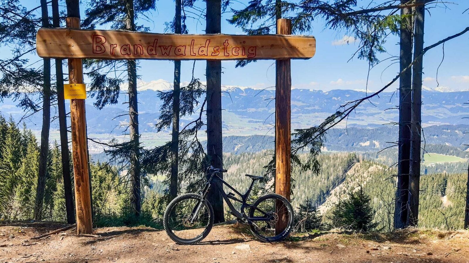
Brandwaldsteig | © Erlebnisregion Murtal | Cara Reddig
1/3
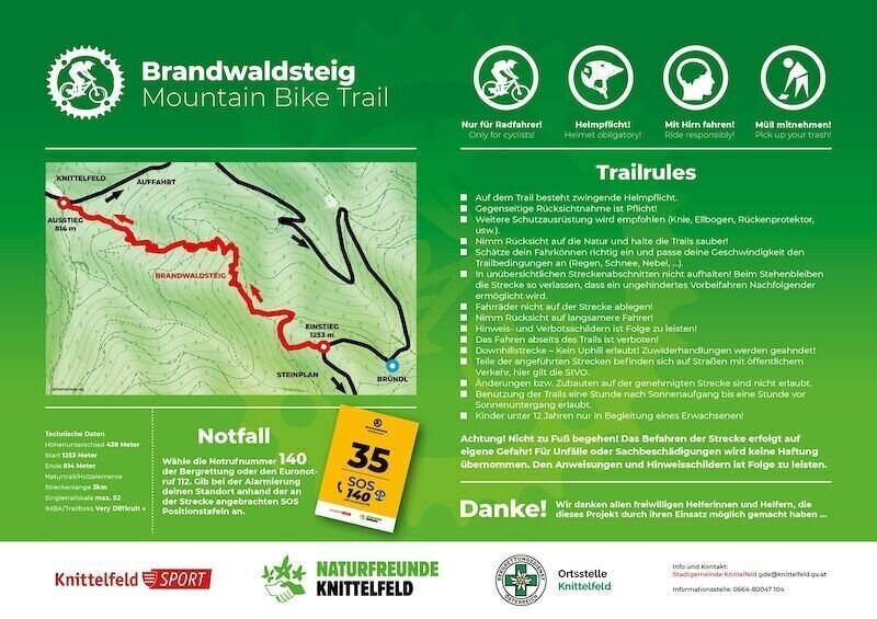
tour 67g - mtb murtal - brandwaldsteig_img_72751613 | © Erlebnisregion Murtal | Naturfreunde Knittelfeld
2/3
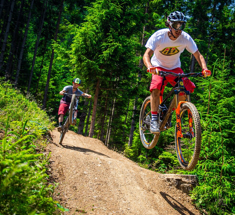
Downhill | © MTB Region Murtal | Lucas Pripfl
3/3

What the weather will be like St. Margarethen bei Knittelfeld (633m)
Today, 29.09.2026
Early clouds will clear to leave the region with a dry and sunny day.Morning

9°C
sr.Regenwahrscheinlichkeit
0%
sr.Windstärke
5 km/h
Noon

20°C
sr.Regenwahrscheinlichkeit
0%
sr.Windstärke
5 km/h
Night

13°C
sr.Regenwahrscheinlichkeit
0%
sr.Windstärke
5 km/h
Tomorrow, 30.09.2026
Dry and sunny throughout the day with hardly any clouds.Morning
6°C
sr.Regenwahrscheinlichkeit
0%
sr.Windstärke
0 km/h
Noon
20°C
sr.Regenwahrscheinlichkeit
0%
sr.Windstärke
5 km/h
Night
13°C
sr.Regenwahrscheinlichkeit
0%
sr.Windstärke
5 km/h
Forecast
01.10.2026
6°C
21°C
02.10.2026
6°C
21°C
03.10.2026
5°C
20°C
