


MTB - Tour 67d - Steinplan starting from Gobernitz
Characteristics
SkillThe tour in numbers
Level of difficulty
challenging
Route
39,5 km
Time
4:00 h
Uphill
1021 hm
Downhill
1119 hm
Highest point
1660 m
This MTB tour on the Steinplan is especially popular for the Murtaler, because there is the possibility to ride up to the summit cross at 1,670 meters. At the refuge you will be spoiled culinary on the beautiful terrace and can enjoy the unique panoramic view in the Erlebnisregioin Murtal. From the beginning of May to the end of October the hut is continuously managed. Otherwise, a beautiful lounge with a view of the summit cross invites you to linger.
This physically demanding circular tour starts in Gobernitz and initially leads you along asphalt and forest roads into the Geierleitengraben. The ascent continues steadily uphill along a steep, partly rough forest road through dense forest up to the Steinplan summit at 1,670 m. A good basic level of fitness and confident bike handling are required for these sections.
Once at the top, you can enjoy an impressive 360° panoramic view of the Mur Valley and the surrounding mountains. The Steinplan-Schutzhaus, which is open at weekends from the beginning of May to the end of October, is the perfect place to stop for a refreshing snack or a warm roast pork.
The descent is not on the approach route, but leads in a southerly direction along varied forest and woodland paths down into the Lobmingtal valley. This section requires attention and consideration - especially when encountering hikers or on narrower sections.
After the descent, you reach Kleinlobming and from there follow quiet side roads and cycle paths via Großlobming and Apfelberg back to the starting point in Gobernitz. The change from alpine terrain to gentle valley landscapes makes this route particularly attractive.
Once at the top, you can enjoy an impressive 360° panoramic view of the Mur Valley and the surrounding mountains. The Steinplan-Schutzhaus, which is open at weekends from the beginning of May to the end of October, is the perfect place to stop for a refreshing snack or a warm roast pork.
The descent is not on the approach route, but leads in a southerly direction along varied forest and woodland paths down into the Lobmingtal valley. This section requires attention and consideration - especially when encountering hikers or on narrower sections.
After the descent, you reach Kleinlobming and from there follow quiet side roads and cycle paths via Großlobming and Apfelberg back to the starting point in Gobernitz. The change from alpine terrain to gentle valley landscapes makes this route particularly attractive.
Best season
January
March
March
April
May
June
July
August
September
October
November
December
More information
From Gobernitz in St.Margarethen asphalt road then forest road to the Steinplangipfel.
Walkers and hikers always have priority. A friendly and considerate approach to pedestrians is a prerequisite. In case of encounters, it is important to make yourself known with the bell and pass slowly. Walking paths and hiking trails may not be used by mountain bikes.
Our nature and landscape is as good as untouched and beautiful. To keep it that way, we ask vacationers to avoid litter and unnecessary noise. In order not to disturb the animals, the mountain bike trails should only be ridden during the day: from the beginning of May to mid-October.
Ride only on approved, marked trails and never off the beaten track. On the forest trails, the traffic regulations must be observed!
Just like driving a car, you should always ride on sight when mountain biking. On frosty roads, expect to see wood on the roadway and motor vehicles.
If you encounter grazing livestock on the trail, reduce your speed to walking pace to avoid any false reactions from the animals. Please always close grazing gates!
Proper self-assessment is necessary in any sport! Do not overstrain yourself in technique and condition. This also avoids accidents.
This tour is passable with mountain bike or also with e-bike.
On this tour you can even take a summit cross photo ;-)
The tour is very easy to reach from Knittelfeld train station.
For more information about the "Nimm's Radl" Murtal bike node system, visit www.murtal.at
Steinplan Schutzhaus https://www.naturfreunde-huetten.at/steiermark/steinplan-schutzhaus/
Other places to stop for refreshments in the vicinity:
Gasthof Thalberghof https://www.thalberghof.at/
KM Hotel Restaurant hhttp://www.murtal-rooms.at/
Excursion options :
Eisenbahnmuseum Knittelfeld: http://eisenbahnmuseum.bplaced.net/
The bike map and the bike tour booklet are available at all locations of the Tourist Association Murtal and at many businesses in the regionMore information about bike and MTB routes you can find here www.murtal.at
The tour map "Nimm's Radl Murtal" and the bike map "Nimm's Radl" >>> available in the tourist offices in the Murtal region - or order online:Map & downloads
Gallery
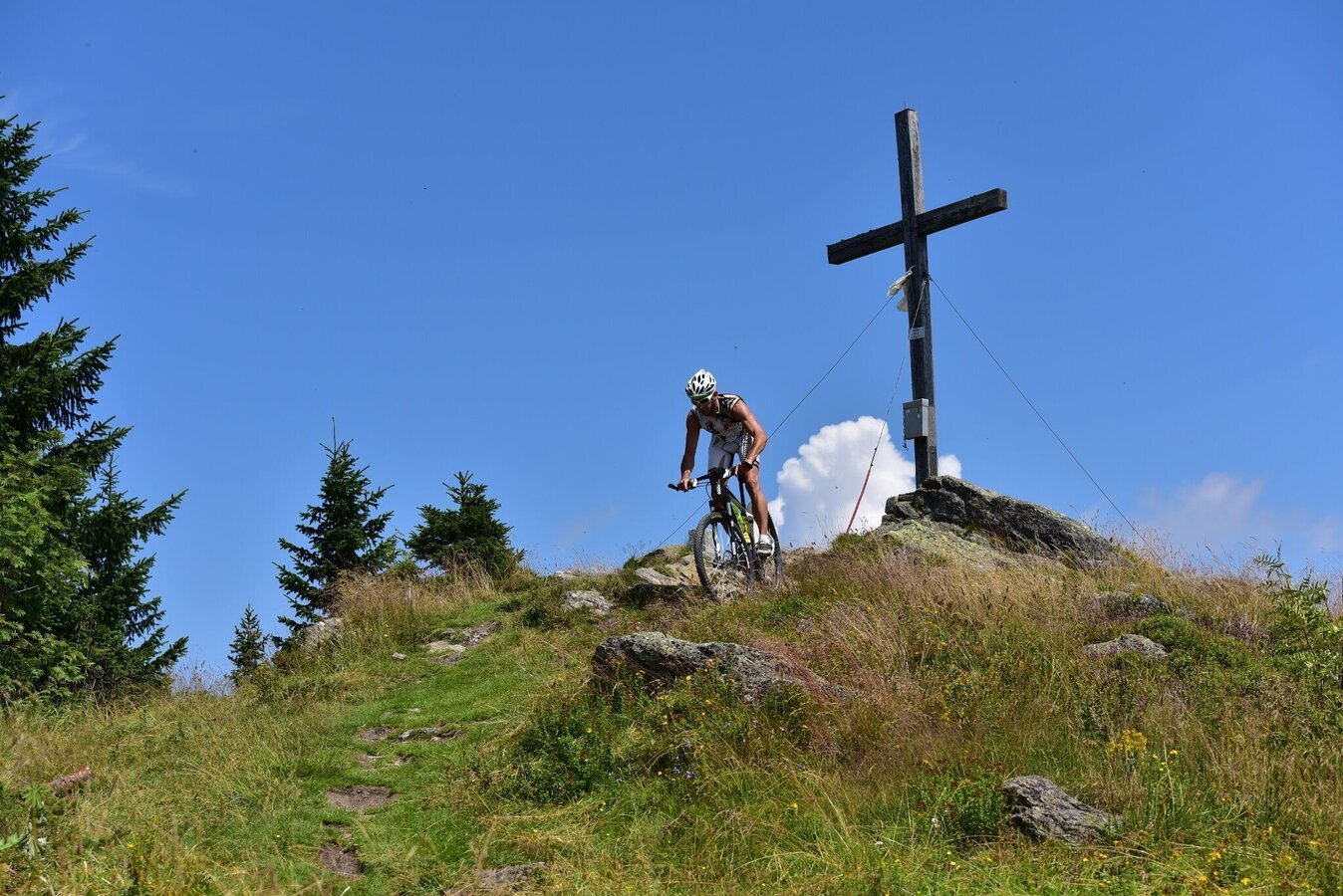
Steinplan Mountainbike | © Erlebnisregion Murtal | Anita Fössl
1/4
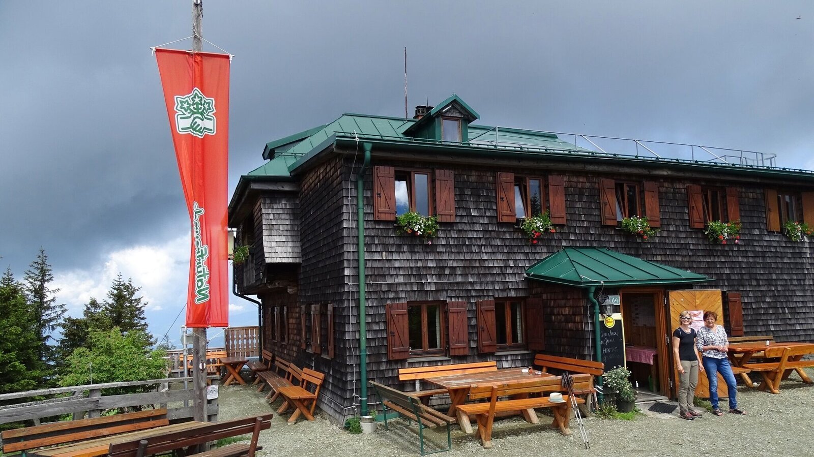
Steinplan Schutzhaus | © WEGES OG | WEGES OG
2/4
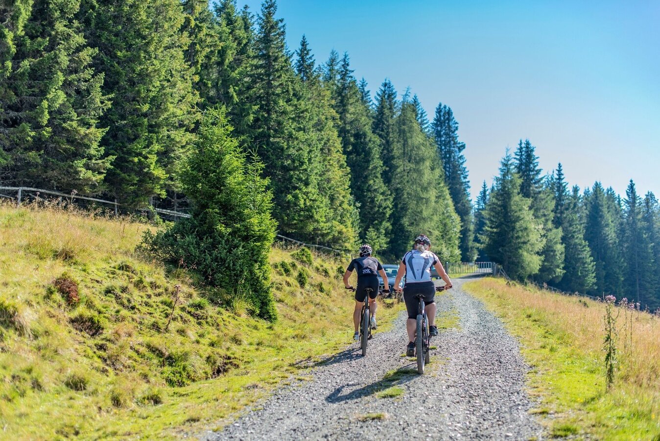
MTB Steinplan | © Erlebnisregion Murtal | Anita Fössl
3/4
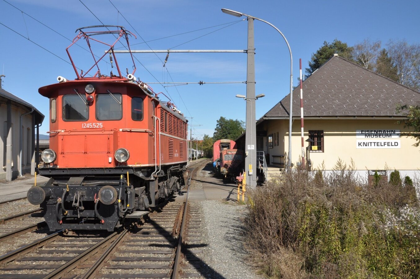
Eisenbahnmuseum Knittelfeld | © Erlebnisregion Murtal | Verena Kreis
4/4

What the weather will be like St. Margarethen bei Knittelfeld (633m)
Today, 29.09.2026
Early clouds will clear to leave the region with a dry and sunny day.Morning

9°C
sr.Regenwahrscheinlichkeit
0%
sr.Windstärke
5 km/h
Noon

20°C
sr.Regenwahrscheinlichkeit
0%
sr.Windstärke
5 km/h
Night

13°C
sr.Regenwahrscheinlichkeit
0%
sr.Windstärke
5 km/h
Tomorrow, 30.09.2026
Dry and sunny throughout the day with hardly any clouds.Morning
6°C
sr.Regenwahrscheinlichkeit
0%
sr.Windstärke
0 km/h
Noon
20°C
sr.Regenwahrscheinlichkeit
0%
sr.Windstärke
5 km/h
Night
13°C
sr.Regenwahrscheinlichkeit
0%
sr.Windstärke
5 km/h
Forecast
01.10.2026
6°C
21°C
02.10.2026
6°C
21°C
03.10.2026
5°C
20°C
