


Hochschwung - summit hike in the Wölzer Tauern
Characteristics
SkillThe tour in numbers
Level of difficulty
medium
Route
14,1 km
Time
7:00 h
Uphill
1000 hm
Downhill
1000 hm
Highest point
2196 m
“The silence":
Enjoy this solitary hike from Bretsteingraben via Tubaysee to Hochschwung. Here you can see as far as the Dachstein. Come to rest and enjoy the babbling brook that accompanies you on your way.
Highlights: Tubaysee lake, summit cross on the Hochschwung
Enjoy this solitary hike from Bretsteingraben via Tubaysee to Hochschwung. Here you can see as far as the Dachstein. Come to rest and enjoy the babbling brook that accompanies you on your way.
Highlights: Tubaysee lake, summit cross on the Hochschwung
Starting from Bretsteingraben you can hike some attractive and partly very lonely peaks. One of these hikes leads via the Tubayhütte and the Tubaysee to the Hochschwung. Up to the lake, the hiking trail is clear, as you are mainly on forest roads. From the lake, you have to find your way in the pathless, where good visibility is a prerequisite. Once you reach the ridge at about 2000 m, a clear trail leads to the summit, which at 2196 m towers above the surrounding peaks such as the Schattnerzinken (to the southwest) or the Regenkarspitz (to the south). The summit area invites you to take an extended break so that you can easily determine, among other things, the Rottenmanner Tauern lying to the northeast with the highest peak of the Murtal district, the Großer Bösenstein (2448 m). With the Hochschwung you also meet the Austrian long-distance hiking trail 02, which leads 1270 km from Hainburg to Feldkirch. With the vastness and the wonderful view at the Hochschwung, you finally have the feeling that you just want to go further.
Best season
January
February
March
April
May
June
July
August
September
October
November
December
More information
Drive by car through Bretstein and Bretsteingassen into the Bretsteingraben. Along the Bretsteinbach you will find the parking lot Tubay - Hansbauer on the right side.
Parking lot Tubay - Hansbauer
From Judenburg via the B 114 in the direction of Hohentauern (36 km, approx. 40 minutes).
From Trieben an der Pyhrn freeway A 9 via B114 in the direction of Judenburg (44 km, approx. 45 minutes).
Parking lot Tubay - Hansbauer
We start at the parking lot Tubay (1), 1196 m, in the Bretsteingraben, cross the bridge over the Bretsteinbach and follow the gravel and access road. At the residential and stable building vlg. Koine, the road goes comfortably uphill in long serpentines over pastures and meadows. Once in the woods, we stay on the road more or less in a straight line until we reach the Tubay hut (2), 1417m. Passing by the hut, the road again leads along pasture areas before we continue a bit through the forest and along the edge of the forest. We cross the Seebach for the first time and continue on the road. After we pass the Seebach the 2nd time, we see on the left the entrance (3), 1688 m, to the trail, marked by a yellow signpost. From now on we follow the trail uphill and again we reach the gravel road, which we follow to the left until the end. With the signposts you can see the walking direction to Lake Tubay, or the turnoff to Hochschwung. From here on, you will be walking partly in pathless terrain, although in between you will see some steep tracks. We recommend the detour to the Tubaysee, a beautiful cirque lake with a small summit cross. At the lake level we cross the slope back in the direction of the Hochschwung ascent. On the larger stones you can see the red-white-red marking and possibly a Steinmandl. We go uphill in a line until we see a perch on the right. The path goes uphill to the left along the slightly shaped ditch. Again we see the occasional markings on the stones. Keeping to the right we come to the ridge (4), 1989 m, which we follow to the left on a clear climb. The last stretch is a bit steeper, but very easy to walk on, until we reach the Hochschwung (5), 2196m. The way back is via the ascent route.
For a conflict-free coexistence on alpine pastures and meadows it is important to observe a few rules, especially when traveling with dogs. (Source: www.sichere-almen.at - 06/2021)
- Avoid contact with grazing animals, do not feed them, keep a safe distance!
- Keep calm, do not frighten grazing animals!
- Mother cows protect their calves. Avoid encounters between mother cows and dogs!
- Always keep dogs under control and on a short leash. If an attack by a grazing animal is foreseeable: Immediately unleash!
- Do not leave hiking trails on alpine pastures and meadows!
- If grazing animals block the way, avoid them as far as possible!
- When grazing animals approach: Stay calm, do not turn your back, avoid the animals!
- Leave the grazing area quickly at the first sign of restlessness of the animals!Fences must be respected!
- If there is a gate, use it, then close it well and cross the pasture quickly!
- Treat the people working here, nature and the animals with respect!
A few tips for correct and fair behavior in the forest: (Source: www.bundesforste.at - 6/2021)
- Hikers should avoid visits to the forest about 1.5 hours before sunrise and after sunset, as wildlife is especially active during this time.
- Plastic bottles, handkerchiefs, cigarette butts & Co have no place in the forest! Please make sure that you do not leave any trash in the forest.
- Camping and making fire - is strictly forbidden in the forest!
- In principle, each person is allowed to collect 2 kg of mushrooms and berries per day for personal use in the forest. It is only forbidden if the forest owner expressly forbids it.
Alpine emergency call:
Mountain rescue emergency number: 140
EU emergency number: 112
Weather service: www.zamg.ac.at
Direct link mountain weather Styria: https://www.zamg.ac.at/cms/de/wetter/produkte-und-services/bergwetter/steiermark
- Backpack with rain cover
- Telescopic / hiking poles
- Mountain / hiking boots
- Gloves: waterproof and warming
- Headgear / sunglasses
- Outerwear: Onion layer system, T-shirt, sweater, jacket and winter jacket with hood
- Hiking pants
- Seat pad
- Drinking bottle / thermos flask (on cooler days a warming drink is pleasant)
- Snack
- First aid kit with blister plaster and tick tongs
Other important equipment
- Route descriptionDetailed
- plan of the hike
- Hiking map: For overview a map in scale 1 : 50 000 of the respective region
- GPS device
- cell phone
Hike from GH Beren to Lake Tubay with the Wir-Wirte hiking backpack and enjoy the expansive scenery - wonderful food at the lake included!
The starting point is not accessible by public transport.
Refreshment and overnight accommodations:
Gasthof BEREN - Jägerheim, Tel.: +43 3576 205, Bretstein 8/9, 8763 Pölstal www.gasthof-beren.at
Get your filled hiking backpack We hosts hiking
Freytag & Berndt (2017): Wölzer Tauern - Sölktal - Rottenmanner Tauern. WK 203 Hiking, Cycling, Recreation Map; 1:50000. C. und M. Hlatky, (2017): Murtal – Rund um Spielberg – Seetaler Alpen und Seckauer Alpen. Kral Verlag, S. 160Map & downloads
Gallery
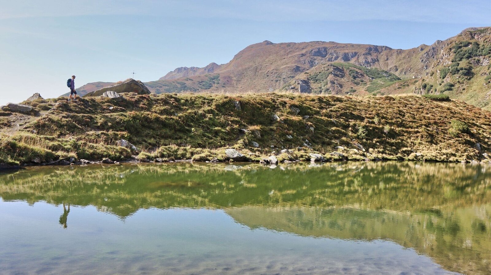
Am Tubaysee | © Weges OG | Weges OG
1/17
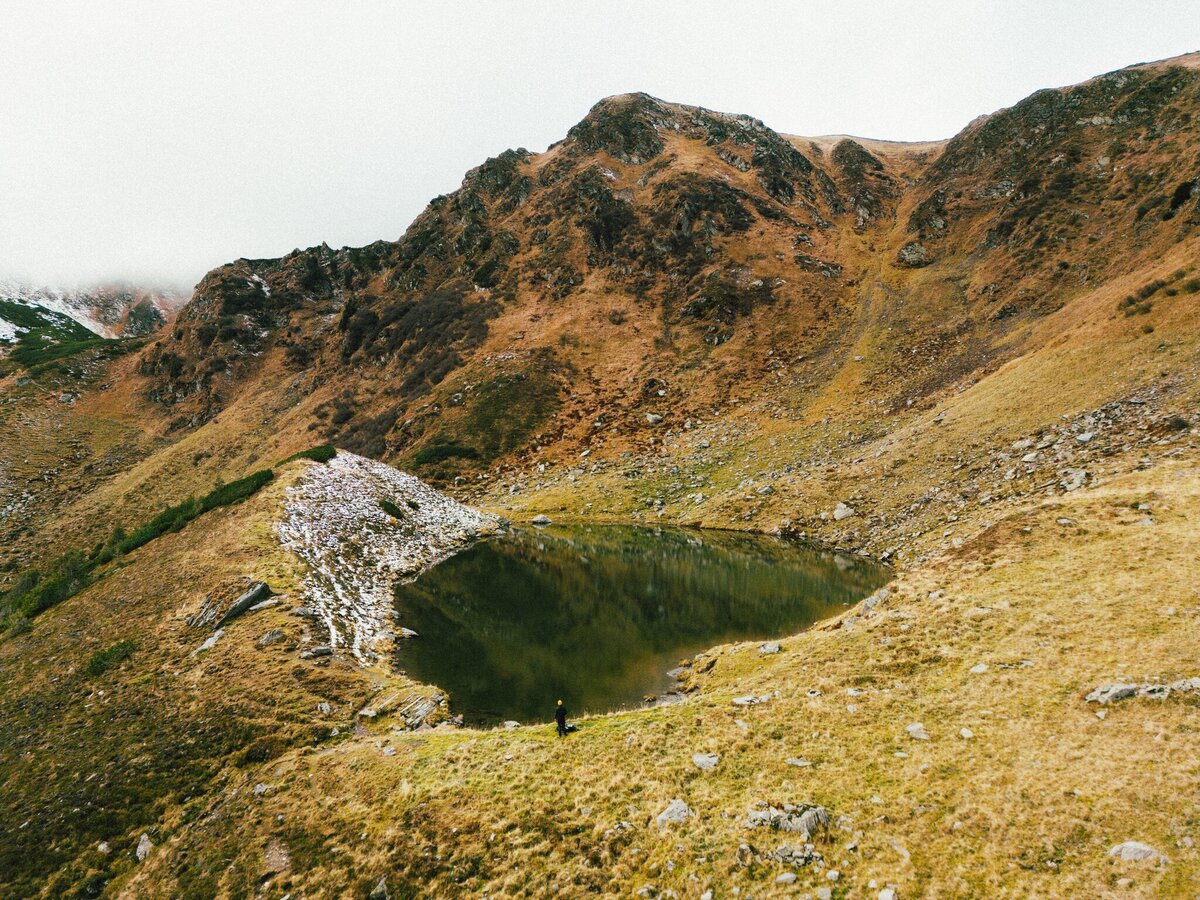
Hochschwung_Murtal_Karl Steinegger_5.jpg | © Karl Steinegger | Karl Steinegger
2/17
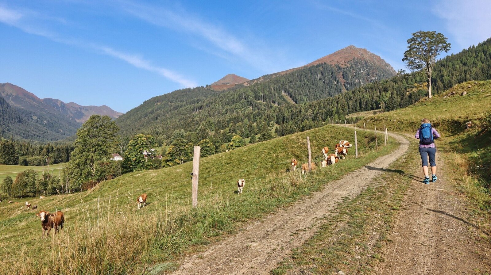
Bis zur Tubayalm folgen wir der Forststraße | © Weges OG | Weges OG
3/17
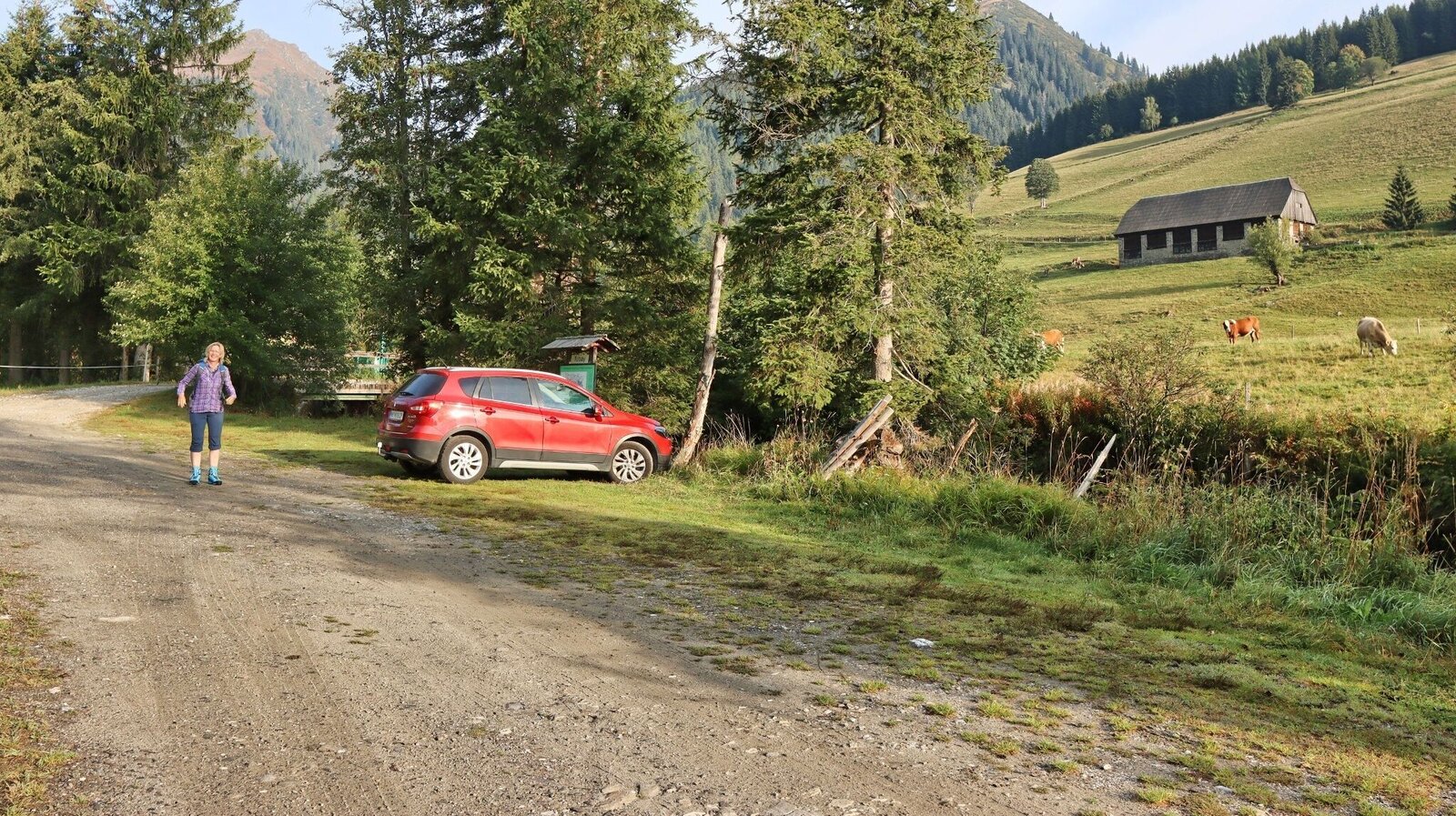
Parkplatz Tubay - Hansbauer | © Weges OG | Weges OG
4/17
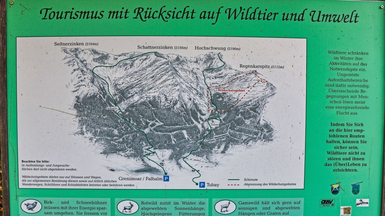
Hinweistafel beim Parkplatz | © Weges OG | Weges OG
5/17
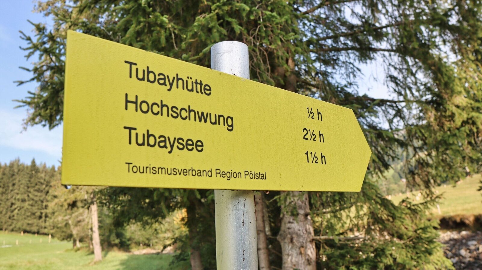
Zeitangaben zu Beginn der Wanderung | © Weges OG | Weges OG
6/17
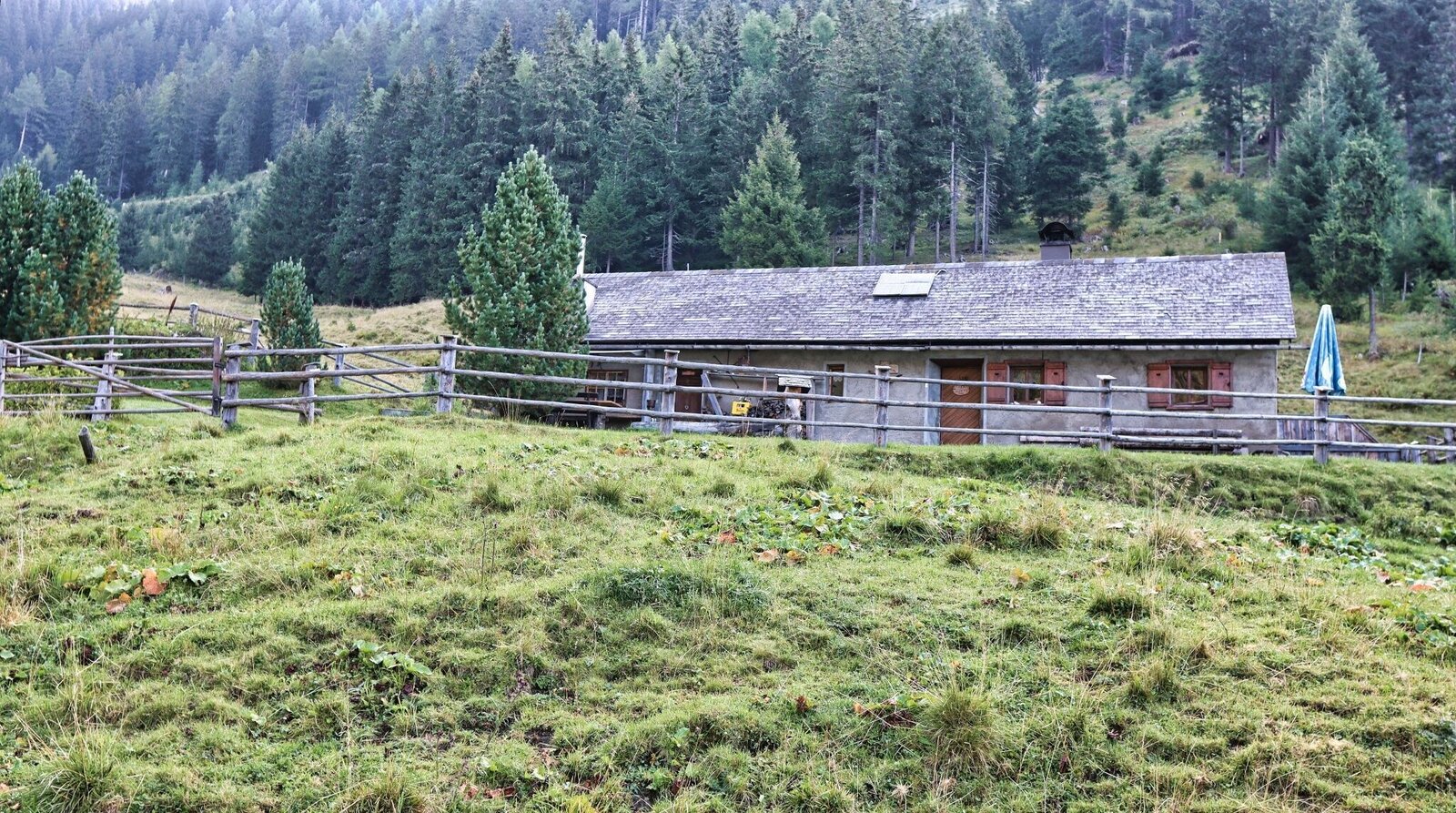
Tubayhütte im Sommer bewirtschaftet | © Weges OG | Weges OG
7/17

Vormittags liegt die Alm noch im Schatten | © Weges OG | Weges OG
8/17
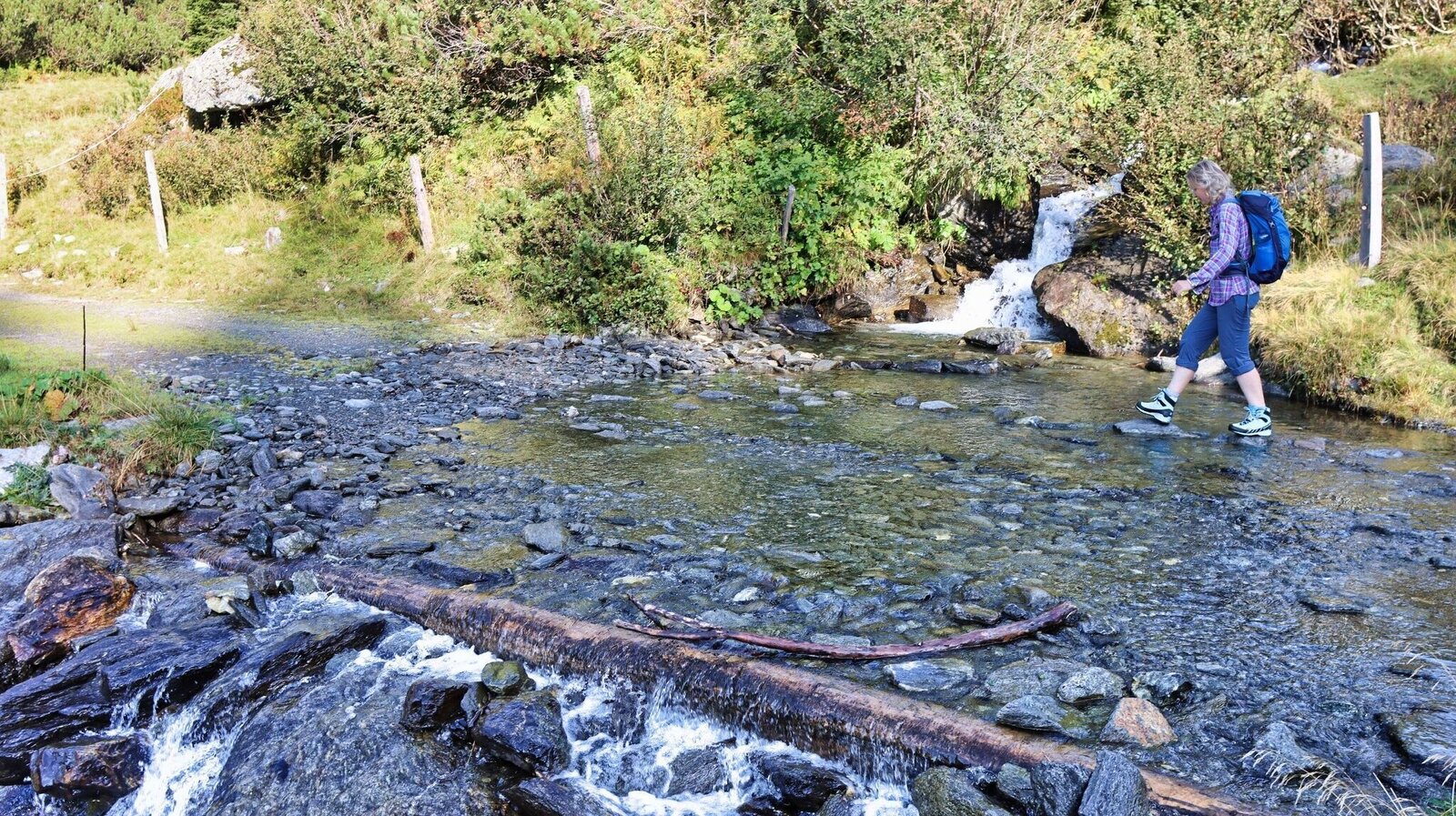
Wir überqueren den Bach | © Weges OG | Weges OG
9/17
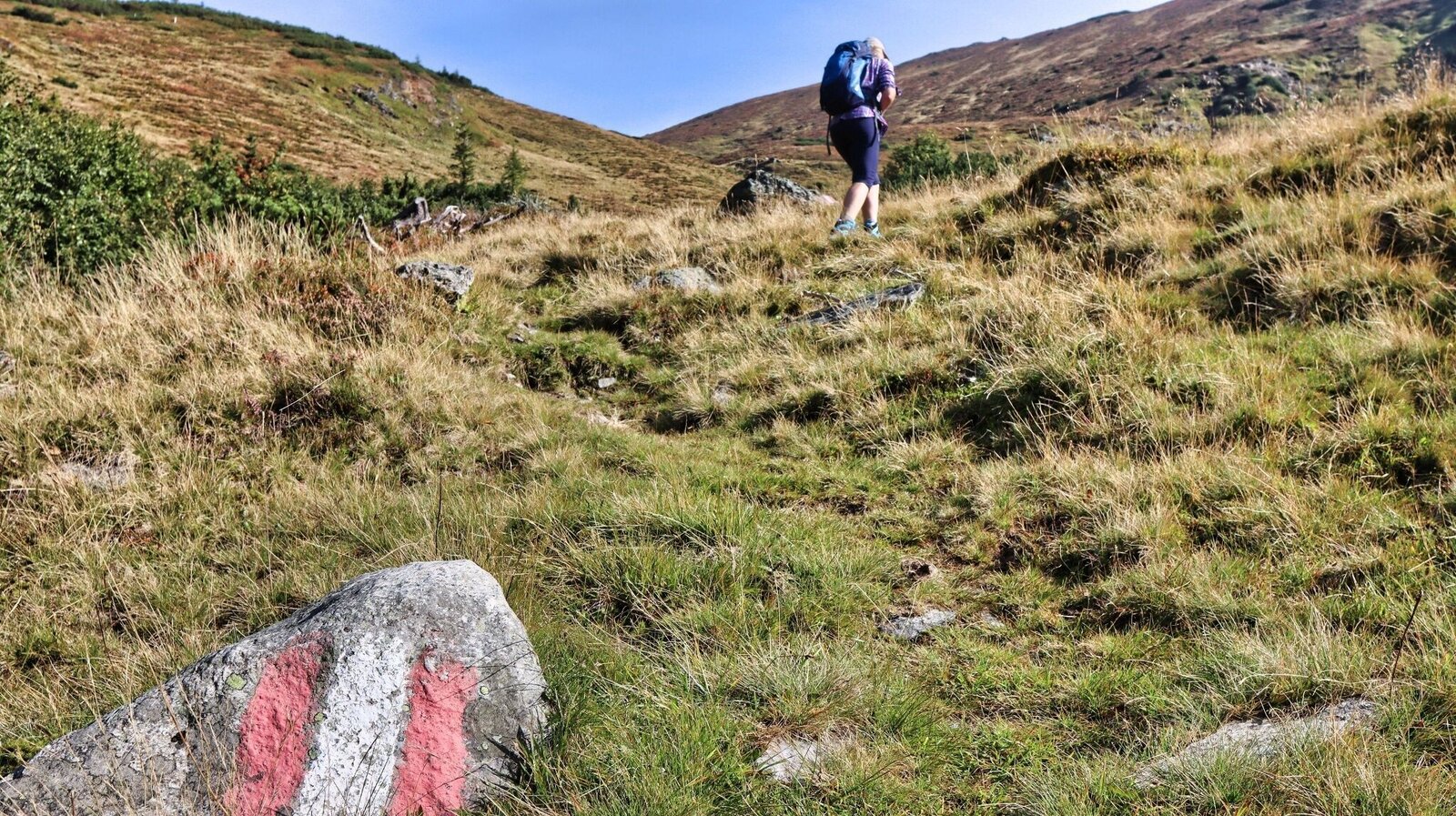
Der Steig ist immer wieder markiert | © Weges OG | Weges OG
10/17
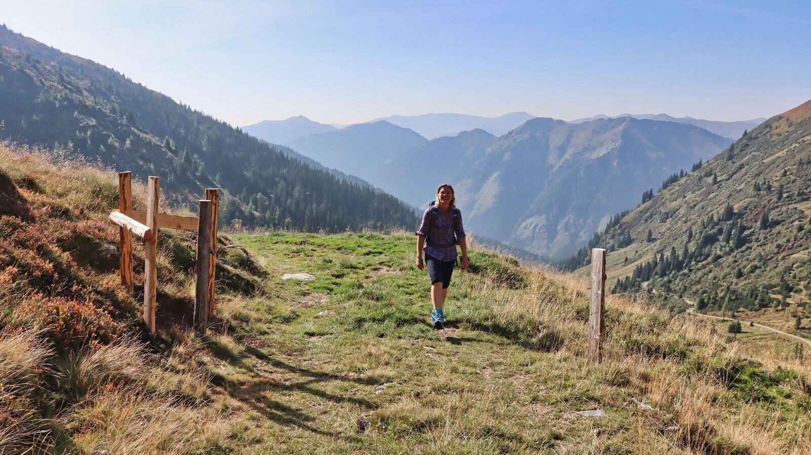
Der Weg führt auf der Forststraße weiter | © Weges OG | Weges OG
11/17
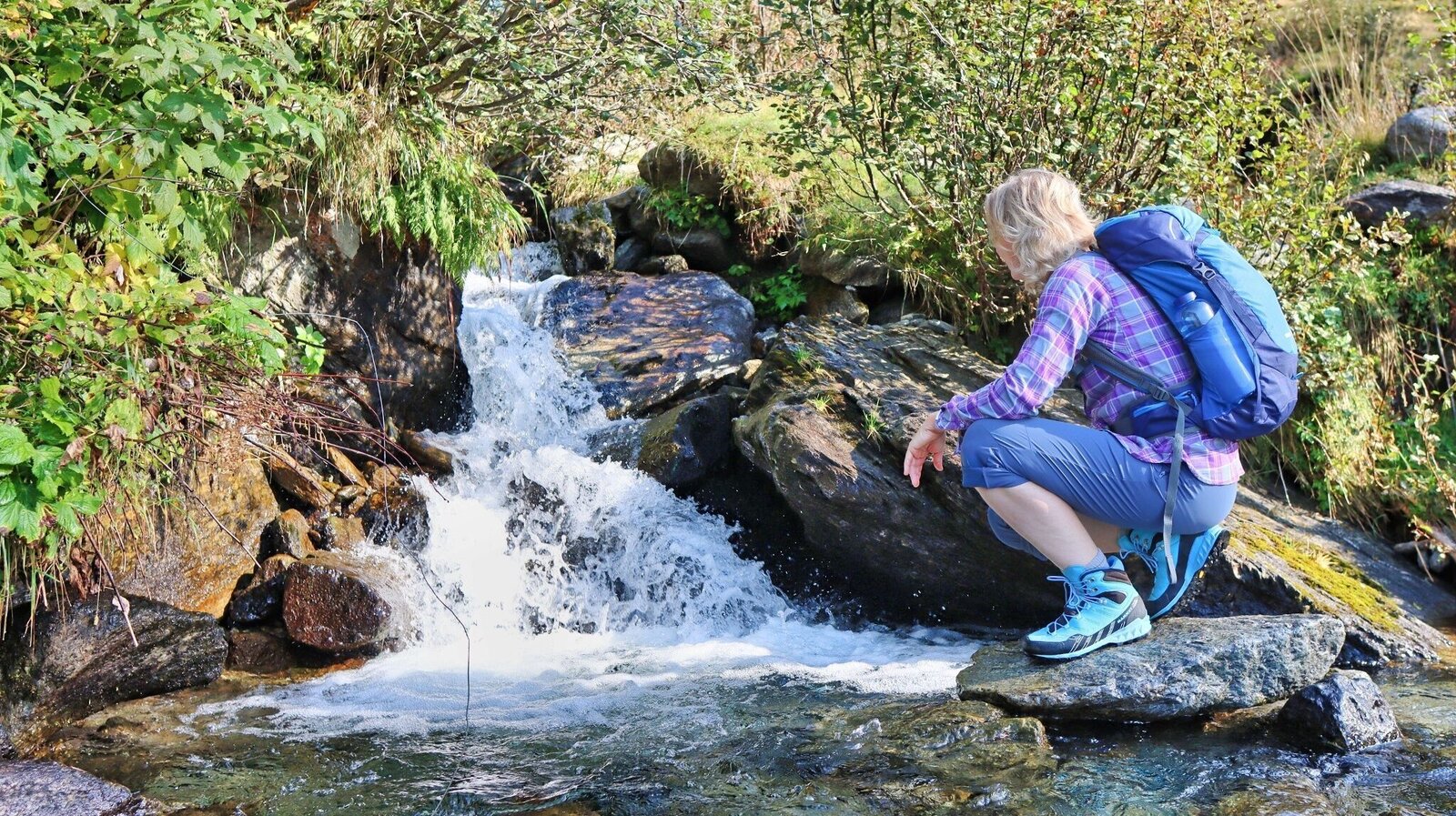
Stimmung beim Wasser | © Weges OG | Weges OG
12/17
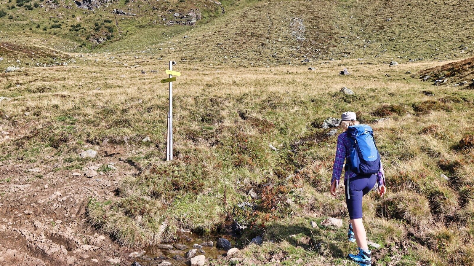
Abzweigung zum Tubaysee | © Weges OG | Weges OG
13/17
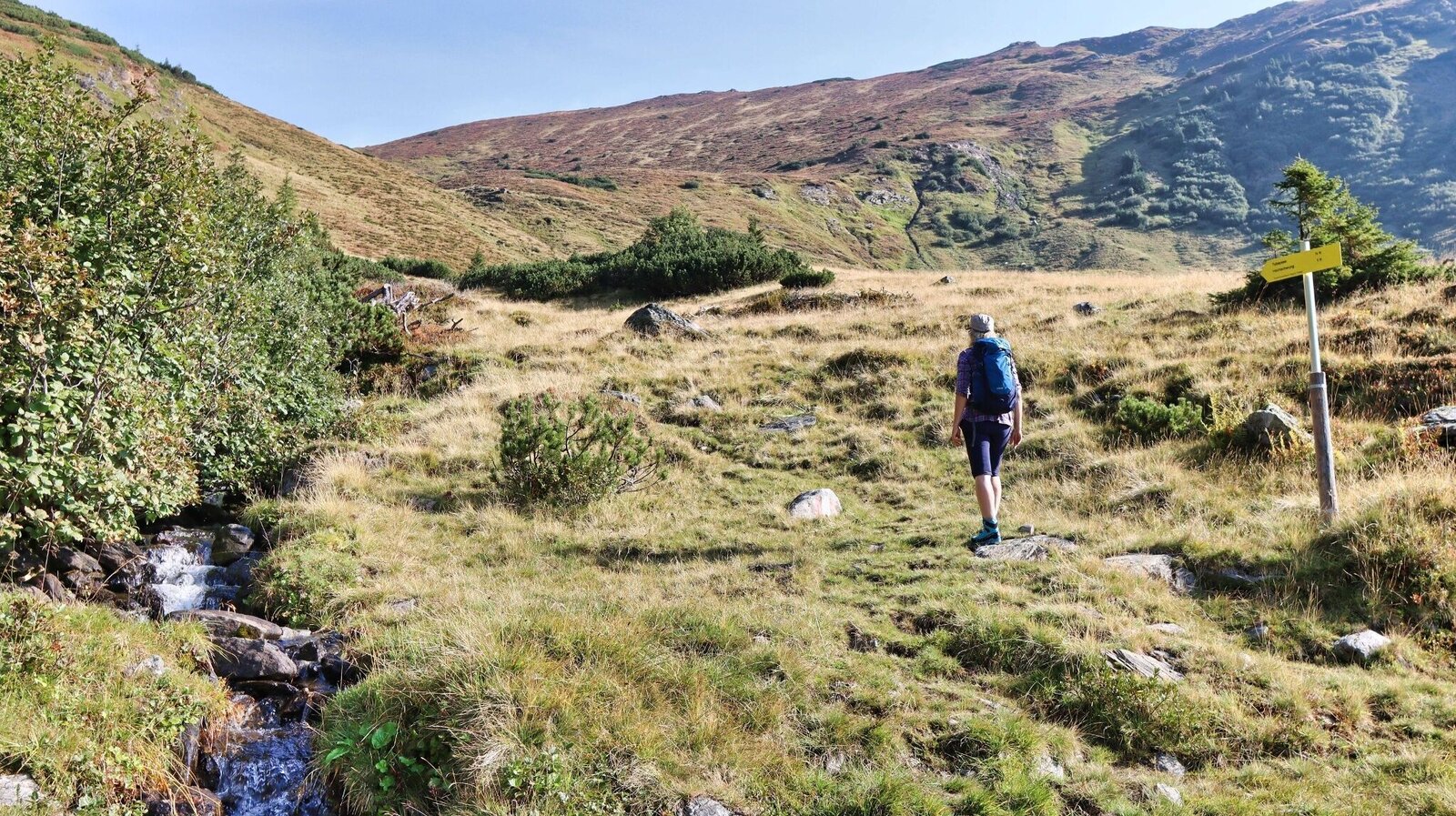
Der Weg führt links von der Forststraße weg | © Weges OG | Weges OG
14/17
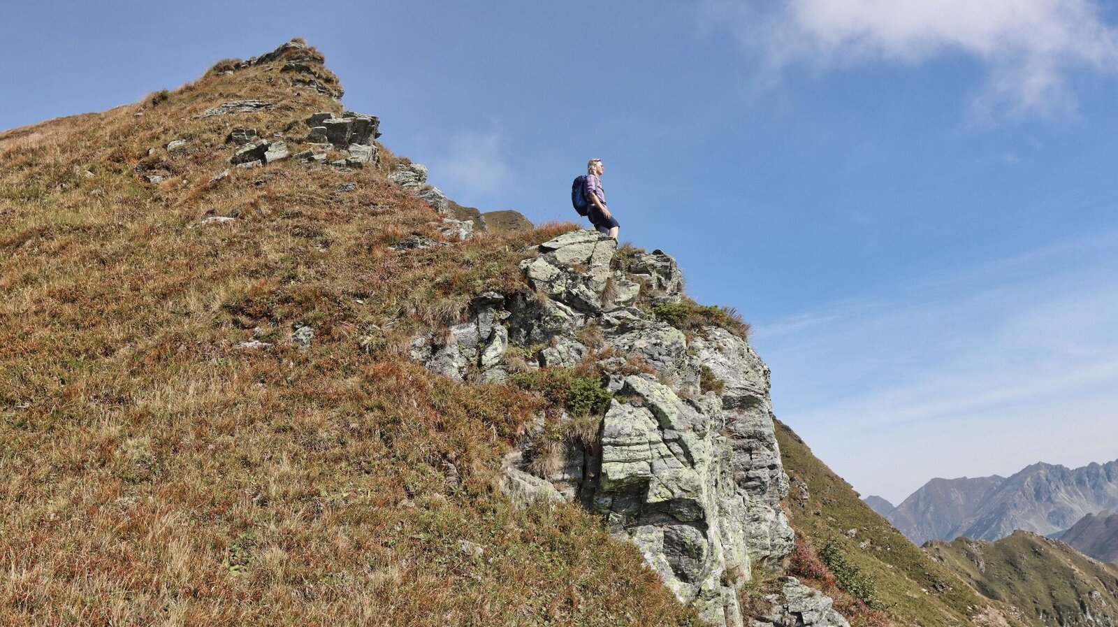
Wir genießen die Aussicht | © Weges OG | Weges OG
15/17

Hochschwung_neues Gipfelkreuz_Bretstein_Murtal_Steiermark c LJ Bretstein (5).jpg | © LJ Bretstein | LJ Bretstein
16/17
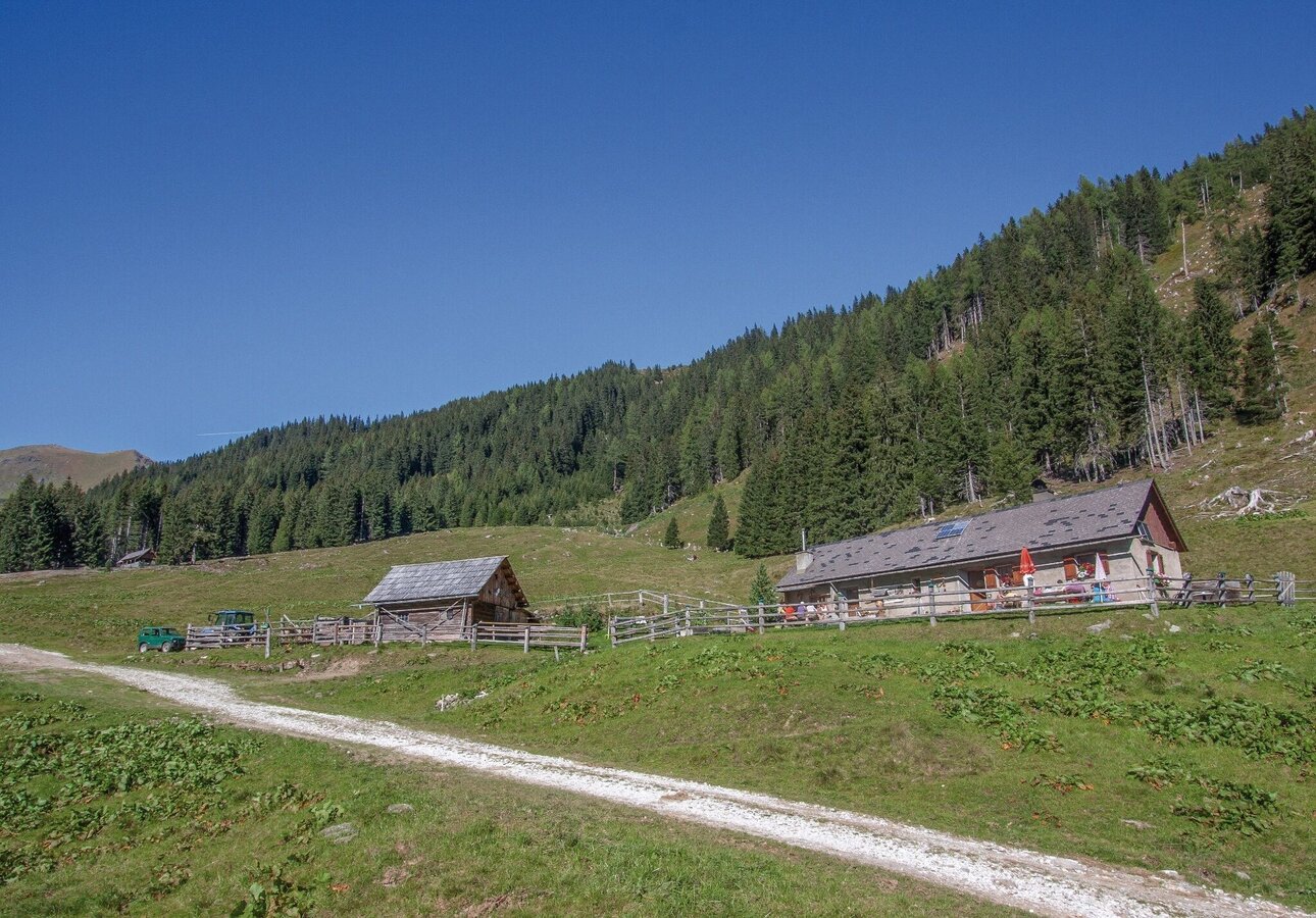
Markus Beren | © Erlebnisregion Murtal | Markus Berem
17/17

What the weather will be like Pölstal (918m)
Today, 14.10.2026
Light rain until the early afternoon, then slowly becoming dry.Morning

6°C
sr.Regenwahrscheinlichkeit
95%
sr.Windstärke
5 km/h
Noon
14°C
sr.Regenwahrscheinlichkeit
75%
sr.Windstärke
5 km/h
Night

9°C
sr.Regenwahrscheinlichkeit
50%
sr.Windstärke
5 km/h
Tomorrow, 15.10.2026
Early clouds will gradually clear to leave the region with a dry and sunny day.Morning
5°C
sr.Regenwahrscheinlichkeit
0%
sr.Windstärke
5 km/h
Noon

16°C
sr.Regenwahrscheinlichkeit
0%
sr.Windstärke
5 km/h
Night

10°C
sr.Regenwahrscheinlichkeit
0%
sr.Windstärke
5 km/h
Forecast
16.10.2026
4°C
18°C
17.10.2026
4°C
16°C
18.10.2026
5°C
15°C
