


Krakaudorf - Etrachsee
Characteristics
SkillThe tour in numbers
Level of difficulty
medium
Route
15,0 km
Time
3:00 h
Uphill
206 hm
Downhill
200 hm
Highest point
1375 m
Worth seeing bike tour through Krakau to the idyllic Etrachsee.
This is a slightly longer route. In this regard, a certain level of fitness and endurance is required.
A piece of paradise stretches out at 1,374 meters above sea level: the Etrachsee lies idyllically between the innermost Alpine areas of the Niedere Tauern, the Rupprechtseck and the Bauleiteck. Lush alpine meadows and impressive larches frame the picturesque Etrachsee.
Best season
January
February
March
April
May
June
July
August
September
October
November
December
More information
East: From Vienna on the A 2 and S 6 to Leoben and St. Michael i. d. O., continue on the S 36 to Judenburg and on the B 96 to Murau. From Murau via Ranten to Krakow.
West, north: From Bregenz/Innsbruck via the A 12, A 93 and A 8 to Salzburg. From Salzburg on the A 10 to St. Michael im Lungau. From here, take the B 96 to Tamsweg and continue towards Murau via Sauerfeld to Krakau.
South: From Klagenfurt on the B 83 to Scheifling. Then on the B 96 to Murau and on to Krakau.
Public parking spaces are available directly in Krakaudorf.
West, north: From Bregenz/Innsbruck via the A 12, A 93 and A 8 to Salzburg. From Salzburg on the A 10 to St. Michael im Lungau. From here, take the B 96 to Tamsweg and continue towards Murau via Sauerfeld to Krakau.
South: From Klagenfurt on the B 83 to Scheifling. Then on the B 96 to Murau and on to Krakau.
Public parking spaces are available directly in Krakaudorf.
From the starting point in Krakaudorf, follow the main road towards Hintermühlen (signposted from here). At the Hintermühlen junction, turn right and follow the road past the Ulrichskirche church to Lake Etrachsee.
The return journey to Hintermühlen follows the same route as before.
The return journey to Hintermühlen follows the same route as before.
Since sections of this tour run on the federal highway, we ask you to be careful in traffic.
- Helmet
- Suitable footwear
- Sportswear
- Drinking bottle etc.
Even on a short tour, you should have the following basic equipment with you: repair kit, air pump, spare hose, a rag, suitable tools for gears, axles, saddle, stem and handlebar bolts.
With the BusBahmBim app from the composite line, timetable information is easier than ever before: all bus, train and tram connections in Austria can be queried by entering locations and/or addresses, stops or important points. The app is available as a free app for smartphones (Android, iOS) - on Google Play and in the App Store.
ÖBB www.oebb.at | Styria connection line www.busbahnbim.at
Information about the "valley bus" can be found at the following link: Murau-GuestCard-public-transport
The ideal time for this tour is from May to October. Information brochures are available at the various information offices.
Map & downloads
Gallery
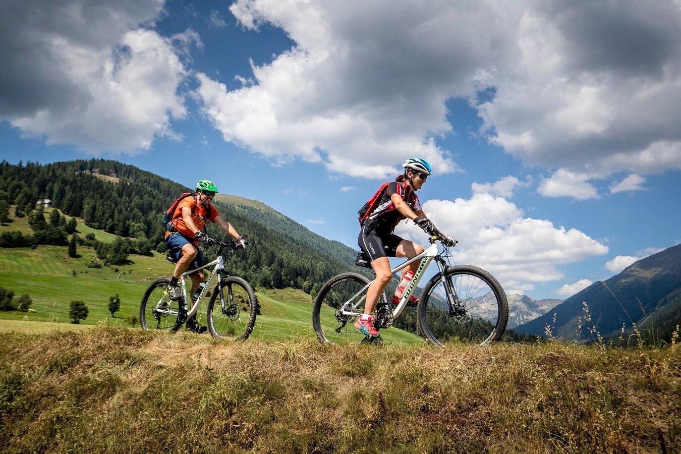
Mountainbiken | © Tourismusverband Murau | Tom Lamm
1/3
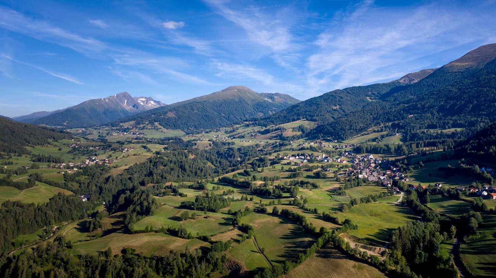
Krakau | © Tourismusverband Murau | Tom Lamm
2/3
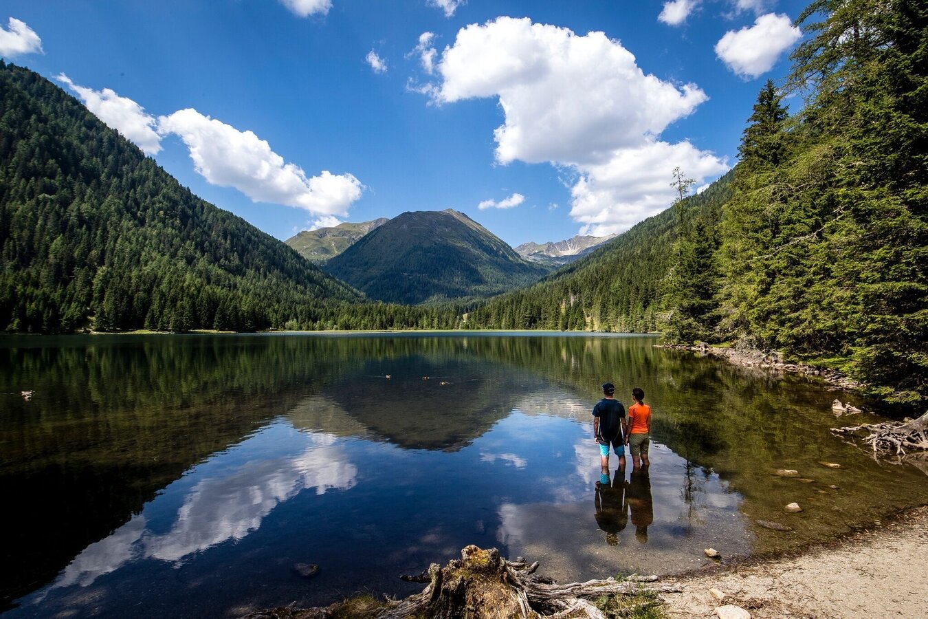
Etrachsee | © Tourismusverband Murau | Tom Lamm
3/3

What the weather will be like Krakau (1171m)
Today, 10.10.2026
Sunshine and cloudiness will alternate throughout the day. A chance of showers towards evening.Morning

5°C
sr.Regenwahrscheinlichkeit
0%
sr.Windstärke
5 km/h
Noon
12°C
sr.Regenwahrscheinlichkeit
50%
sr.Windstärke
5 km/h
Night

8°C
sr.Regenwahrscheinlichkeit
80%
sr.Windstärke
5 km/h
Tomorrow, 11.10.2026
Rather cloudy in the morning, then sunny spells will develop gradually.Morning

4°C
sr.Regenwahrscheinlichkeit
15%
sr.Windstärke
5 km/h
Noon
12°C
sr.Regenwahrscheinlichkeit
25%
sr.Windstärke
10 km/h
Night
7°C
sr.Regenwahrscheinlichkeit
45%
sr.Windstärke
5 km/h
Forecast
12.10.2026

1°C
12°C
13.10.2026

0°C
13°C
14.10.2026
1°C
14°C
