


Brennerfeldeck
Characteristics
SkillThe tour in numbers
Level of difficulty
challenging
Route
12,2 km
Time
8:30 h
Uphill
1252 hm
Downhill
1456 hm
Highest point
2501 m
This is a beautiful, but physically demanding mountain hiking trail that should definitely not be underestimated.
Magnificent views of the Niedere Tauern, the Dachstein, the Toten Gebirge in the north, the Zirbitzkogel and the Julian Alps with Triglav in the south, as well as, on a clear day, the easternmost glaciers of the Central Alps, the Hochalmspitze and the Ankogel.
Best season
January
February
March
April
May
June
July
August
September
October
November
December
More information
East: From Vienna on the A 2 and S 6 to Leoben and St. Michael i. d. E., continue on the S 36 to Judenburg and on the B 96 to Murau. From Murau via Ranten to Krakau.
Public parking spaces are available directly at the Etrachsee.
West, North: From Bregenz/Innsbruck via the A 12, A 93 and A 8 to Salzburg. From Salzburg on the A 10 to St. Michael im Lungau. From here on the B 96 to Tamsweg and further towards Murau via Sauerfeld to Krakau.
South: From Klagenfurt on the B 83 to Scheifling. Then take the B 96 to Murau and on to Krakau.
Public parking spaces are available directly at the Etrachsee.
From the Karlhütte car park on path 796a to the Schattner Hut (1,799m). From the Schattner Hut to the right, the path leads to a small lake and continues to the saddle to the Brennerfeldeck to the south. Always along the ridge you go from the GI of the Brennerfeldeck (2507m) to the Feldeck (2480m) and the Trübeck (2367m) where, a few hundred meters after the last summit, you branch off towards Krautgarten-Kunstenbach. In Schöder you take path no. 796 in the direction of Dorfhütten (Krakaudorf).
- Good shoes
- Sun protection
- Sufficient food
With the BusBahnBim app from the interconnected line, timetable information is easier than ever before: all bus, train and tram connections in Austria can be queried by entering locations and/or addresses, stops or important points. The app is available as a free app for smartphones (Android, iOS) - on Google Play and in the App Store.
ÖBB www.oebb.at |Styria connection line www.busbahnbim.at
The ideal time for this tour is from May to October. Information brochures are available at the various information offices.
Map & downloads
Gallery
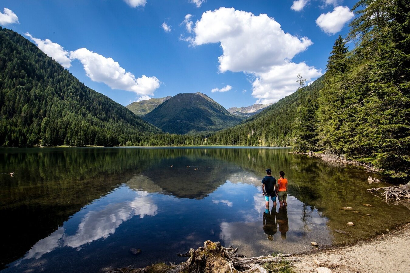
Etrachsee | © Tourismusverband Murau | Tom Lamm
1/3
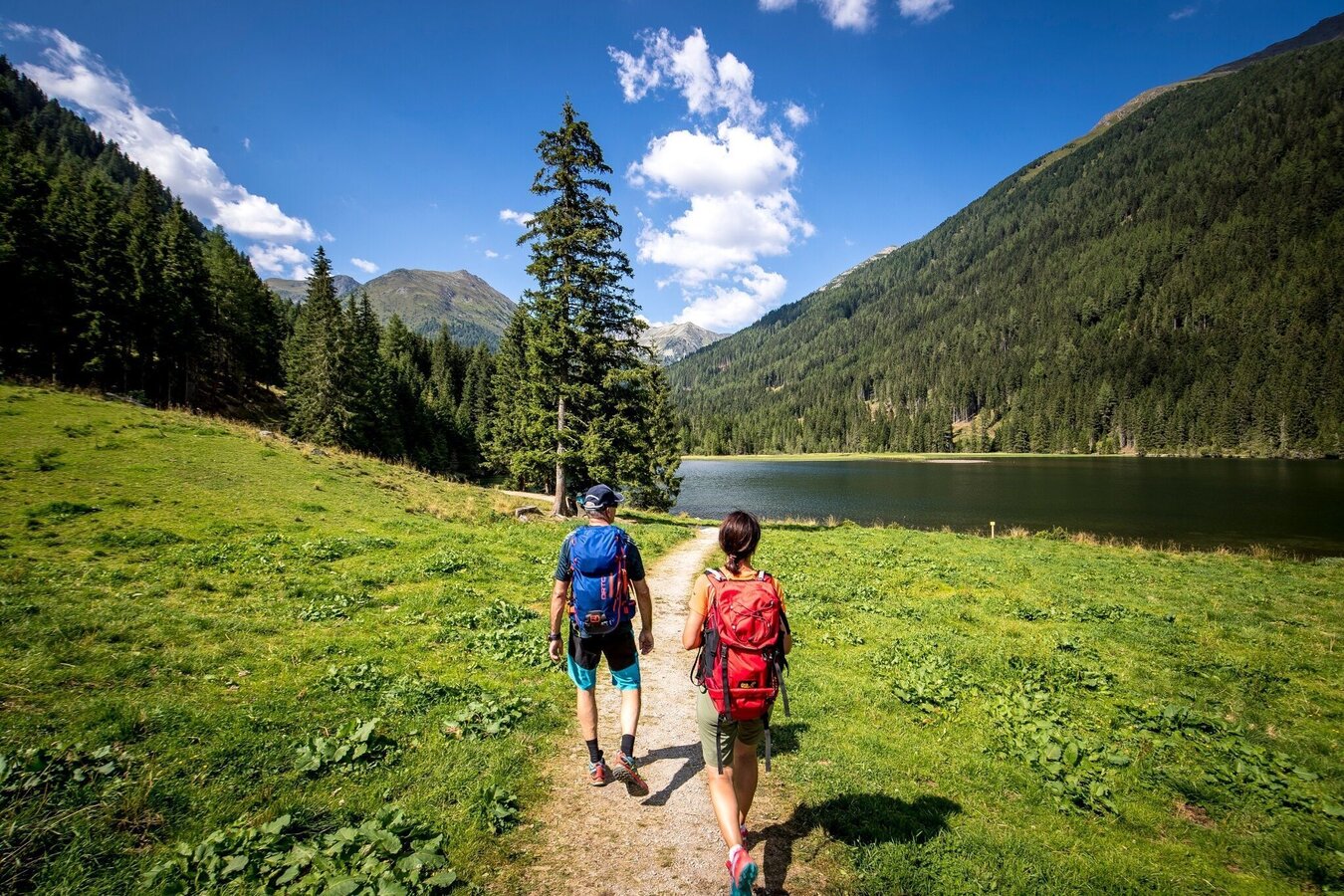
Am Weg zum Etrachsee | © Tourismusverband Murau | Tom Lamm
2/3
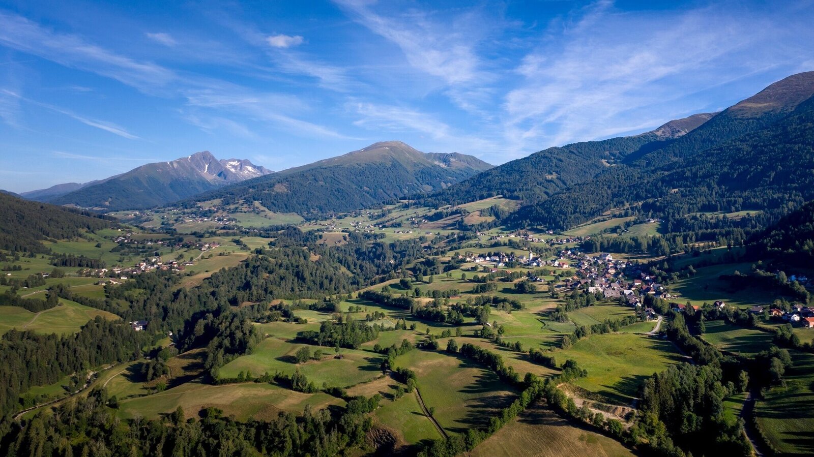
Krakau | © Tourismusverband Murau | Tom Lamm
3/3

What the weather will be like Krakau (1171m)
Today, 23.10.2026
The day starts sunny, but will be partly cloudy in the afternoon.Morning

-1°C
sr.Regenwahrscheinlichkeit
0%
sr.Windstärke
5 km/h
Noon

8°C
sr.Regenwahrscheinlichkeit
0%
sr.Windstärke
15 km/h
Night
4°C
sr.Regenwahrscheinlichkeit
5%
sr.Windstärke
5 km/h
Tomorrow, 24.10.2026
Snow showers and at times snow mixed with rain. Then clouds breaking up in the afternoon.Morning

1°C
sr.Regenwahrscheinlichkeit
80%
sr.Windstärke
5 km/h
Noon

3°C
sr.Regenwahrscheinlichkeit
80%
sr.Windstärke
15 km/h
Night
0°C
sr.Regenwahrscheinlichkeit
45%
sr.Windstärke
5 km/h
Forecast
25.10.2026

-3°C
7°C
26.10.2026

0°C
10°C
27.10.2026
0°C
13°C
