


Landler Country walk #9
Characteristics
FitnessThe tour in numbers
Level of difficulty
medium
Route
7,6 km
Time
2:12 h
Uphill
172 hm
Downhill
172 hm
Highest point
608 m
Landler Trail #9 is a bit more challenging as the walking time is about 2 hours and the gradient is about easy to medium steep. The trail is still suitable for families, but sturdy shoes should be used. There are always places to sit down and have a short rest.
You start from the swimming pond to the right. After a small department store you turn right. One goes down again over the Wieden into the village, then in the direction of Lainbach and then turns into the path back over the Wieden.
Best season
January
February
March
April
May
June
July
August
September
October
November
December
More information
Vienna: A1 to Ybbs, B 25 direction Wieselburg-Scheibbs-Göstling-Palfau-Gams-Landl
At the Landl bathing complex
Salzburg: A 10 to exit Altenmarkt, on the B 320 direction Schladming to Liezen, then on the B 146 direction Admont, through the Gesäuse to Hieflau, left Landl
Graz: A 9 to exit Traboch, onto the B 115 in the direction of Eisenerz-Hieflau-Landl
Linz: A 1 to exit Enns, over the B 309 to Steyer, there on the B 25 direction Weyer-Altenmarkt- Großreifling - Landl
Parking
At the Landl bathing complex
From the starting point you start to the right along the main road, past the Mooswirt inn. On the right side of the street is a yellow department store, after this you turn right. Follow the path and turn right at the next two forks. The path continues past houses and farms. At the end of the path there is a fork where you go down to the right on a gravel path. At the bottom, turn right at the next fork and left at the next but one. Follow the path further until the path leads down. Just before the path leads down, turn left into a street. Continue along the path, passing a small chapel. Just before a house entrance, a gravel path leads off to the left next to a fence. Follow this path and later you will come back to the path you came down before. Now you go up this path again. When you reach the top, turn left and walk back along the path. When the path goes down again, turn left at the two crossroads and then left again on the main road back to the pond. The walking time of this path is about 2 hours.
A proper backpack packing makes many things easier: Pack heavy things first. The water bottle should always be handy in a side pocket. All things that are often needed like sunglasses, camera or hiking map belong on top. An emergency equipment including blister plasters belongs in every backpack and a clothing according to the "onion system" is always recommended!
Emergency call mountain rescue: 140
Comfortable sturdy and broken-in shoes, as well as hiking rucksack with appropriate contents (water bottle, first aid, hiking map, sun protection, snack, etc.). You should also be well prepared for a change of weather.Cell phone for emergency call.
The swimming pond Landl invites you to swim and relax!
www.oebb.at
www.busbahnbim.at
Infobüro/Salza Wildalpen
Wildalpen 91 – 8924 Wildalpen Tel. 03636/241 infosalza@gesaeuse.at
Mo und Fr. 9:00-17:00
www.gesaeuse.at
www.landl.at
Freizeitkarte GesäuseErhältlich be1 TV-Gesäuse/Admont
und vielen Betrieben in der Region
Map & downloads
Gallery
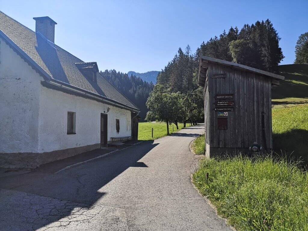
Abzweigung nach Rechts | © TV Gesäuse | Tourismusverband Gesäuse
1/14
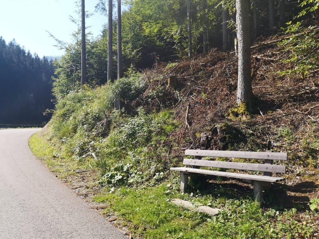
Weg hinauf mit Sitzgelegenheit | © TV Gesäuse | Tourismusverband Gesäuse
2/14
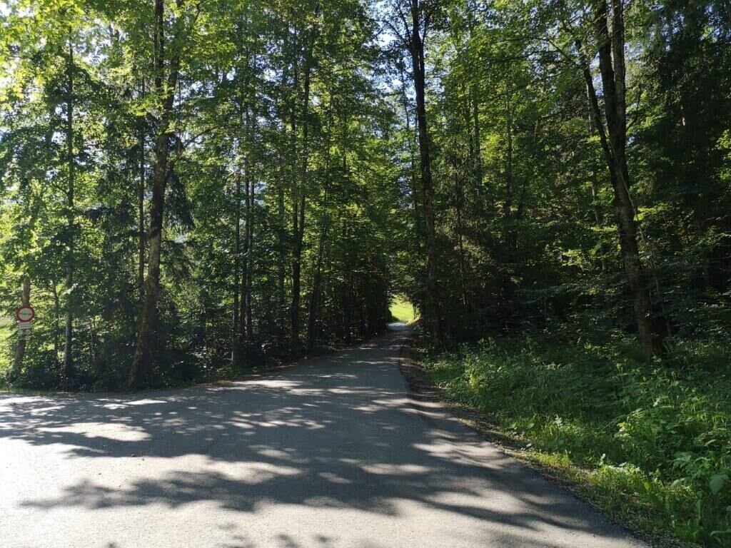
Abzweigung Rwechts | © TV Gesäuse | Tourismusverband Gesäuse
3/14
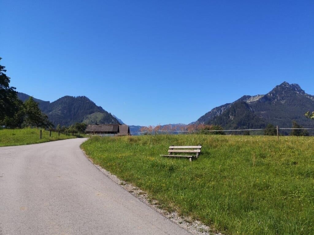
WEg mit Sitzgelegenheit | © TV Gesäuse | Tourismusverband Gesäuse
4/14
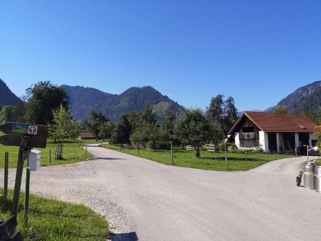
WEg auf der Wieden | © TV Gesäuse | Tourismusverband Gesäuse
5/14
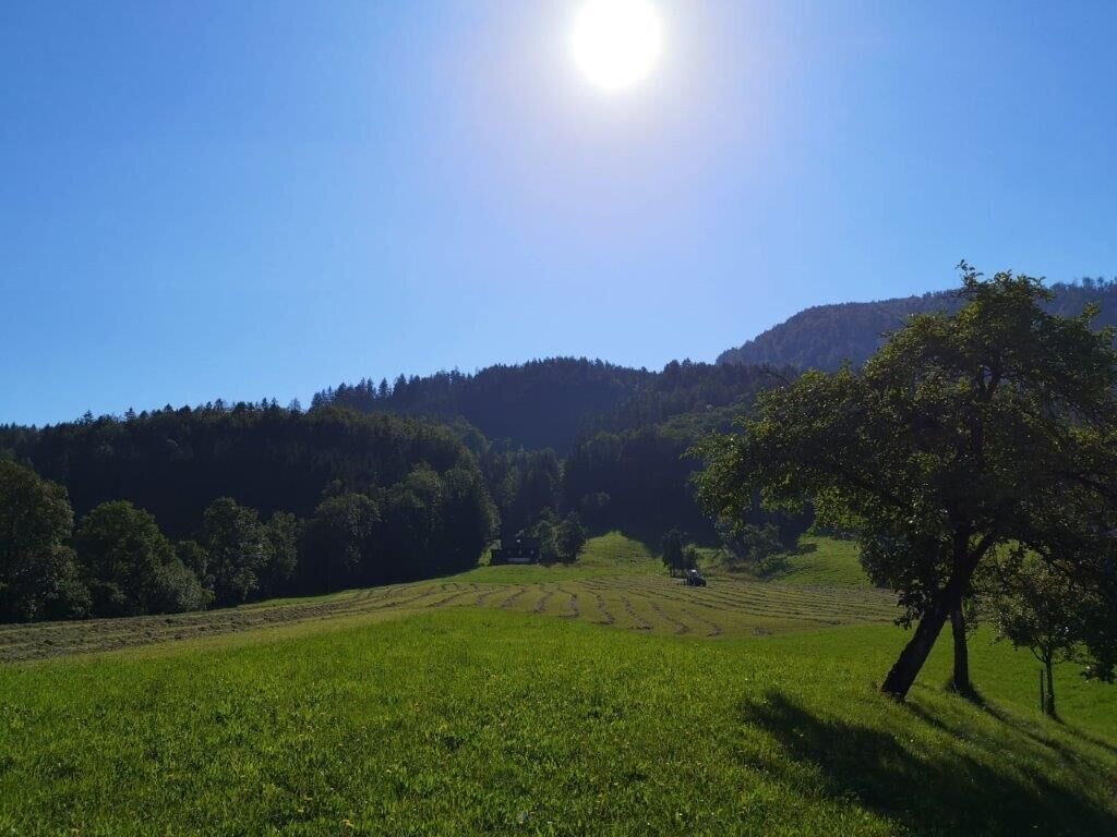
Blick vom Weg aus | © TV Gesäuse | Tourismusverband Gesäuse
6/14
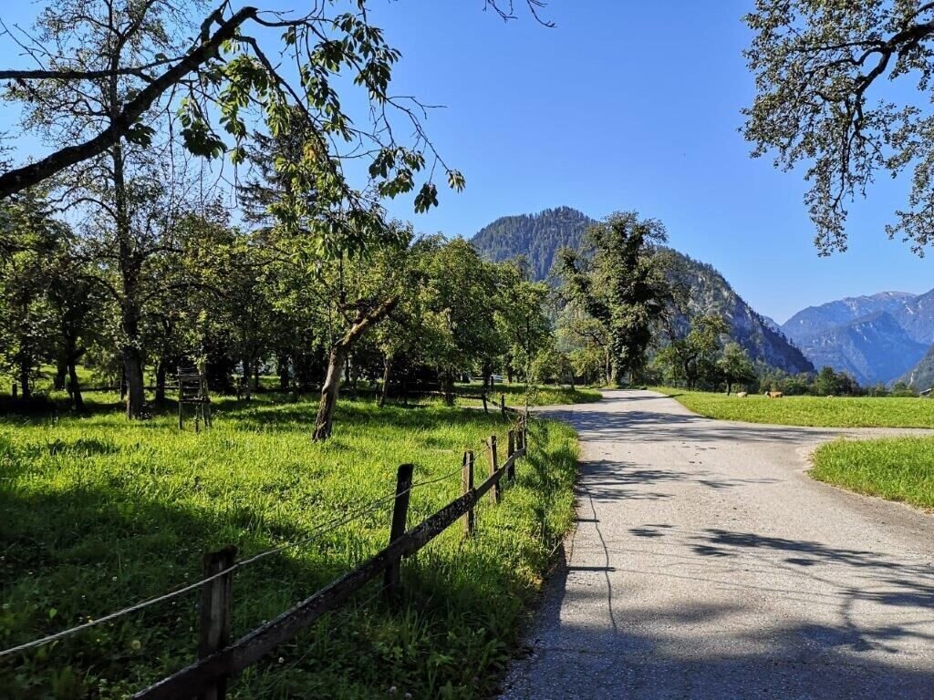
Abzweigung rechts | © TV Gesäuse | Tourismusverband Gesäuse
7/14
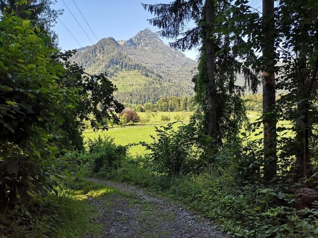
Der Weg hinunter | © TV Gesäuse | Tourismusverband Gesäuse
8/14
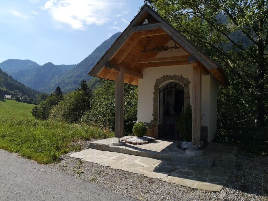
Kapelle | © TV Gesäuse | Tourismusverband Gesäuse
9/14
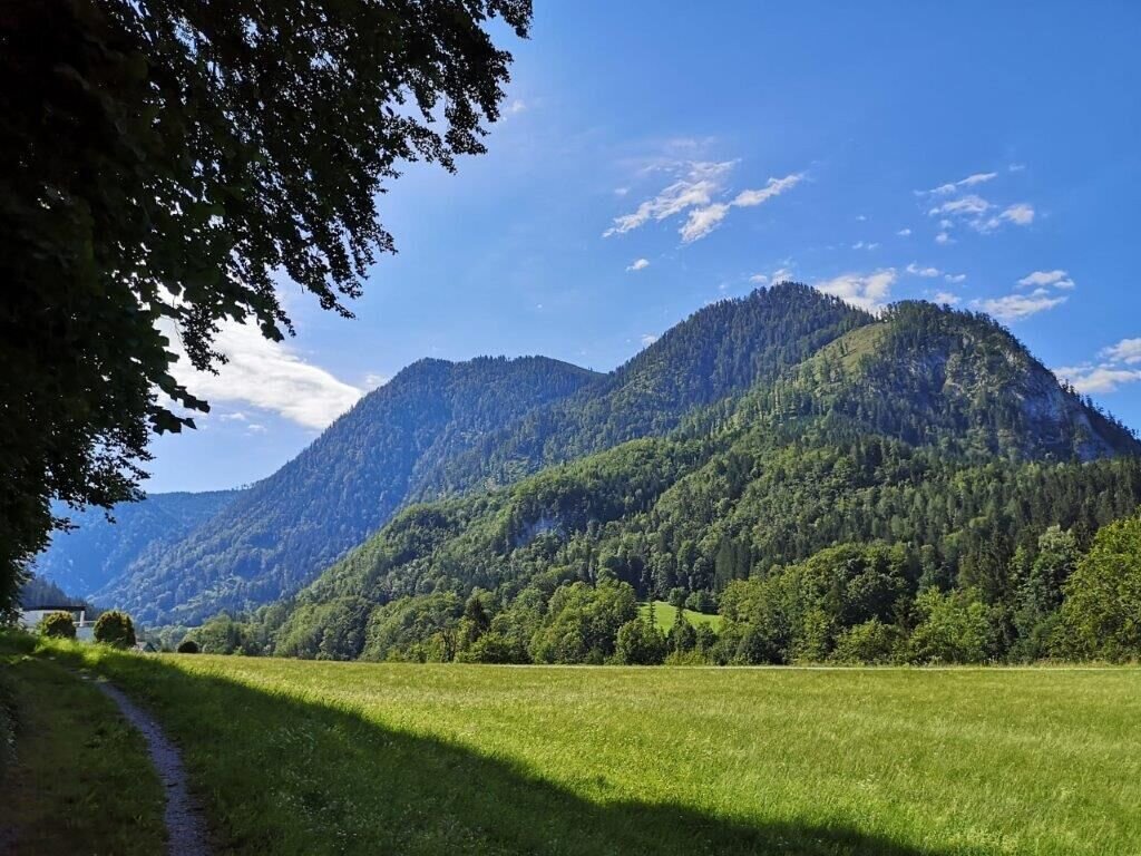
zurückgelegter Weg in Mooslandl | © TV Gesäuse | Tourismusverband Gesäuse
10/14
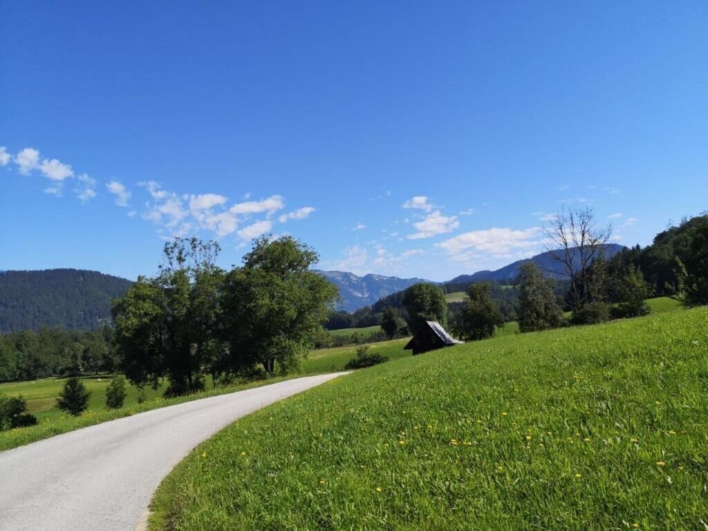
weg zurück auf der Wieden | © TV Gesäuse | Tourismusverband Gesäuse
11/14
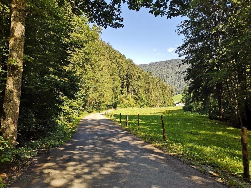
Weg zurück | © TV Gesäuse | Tourismusverband Gesäuse
12/14
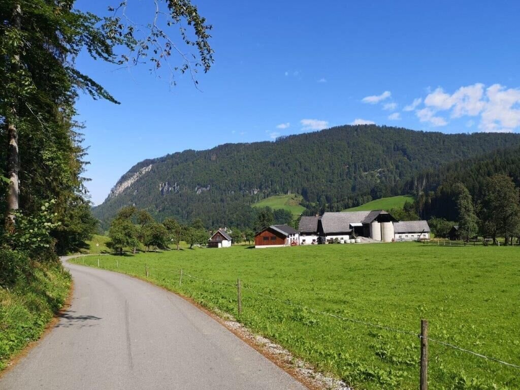
der Weg zum Ausgangspunkt | © TV Gesäuse | Tourismusverband Gesäuse
13/14
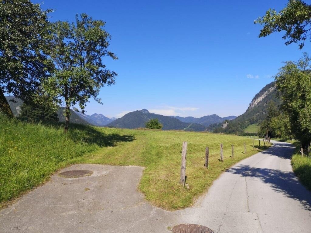
der Weg zum Ausgangspunkt | © TV Gesäuse | Tourismusverband Gesäuse
14/14

What the weather will be like Landl (522m)
Today, 01.10.2026
Dry and bright with plenty of sunshine, clouds will be rare.Morning

11°C
sr.Regenwahrscheinlichkeit
0%
sr.Windstärke
10 km/h
Noon
24°C
sr.Regenwahrscheinlichkeit
0%
sr.Windstärke
10 km/h
Night

16°C
sr.Regenwahrscheinlichkeit
0%
sr.Windstärke
10 km/h
Tomorrow, 02.10.2026
Dry and partly sunny throughout the day, with cloudy periods from time to time.Morning
7°C
sr.Regenwahrscheinlichkeit
0%
sr.Windstärke
5 km/h
Noon
20°C
sr.Regenwahrscheinlichkeit
5%
sr.Windstärke
5 km/h
Night
13°C
sr.Regenwahrscheinlichkeit
0%
sr.Windstärke
0 km/h
Forecast
03.10.2026
5°C
22°C
04.10.2026
5°C
21°C
05.10.2026

8°C
20°C
