


Pleschwirt via Kogelleiten trail
Characteristics
SkillThe tour in numbers
Level of difficulty
medium
Route
15,0 km
Time
5:00 h
Uphill
610 hm
Downhill
610 hm
Highest point
1061 m
From Rein via the Kogelleiten Trail to Pleschkogel and Pleschwirt. An enjoyable circular hike through forests and alpine meadows with beautiful views.
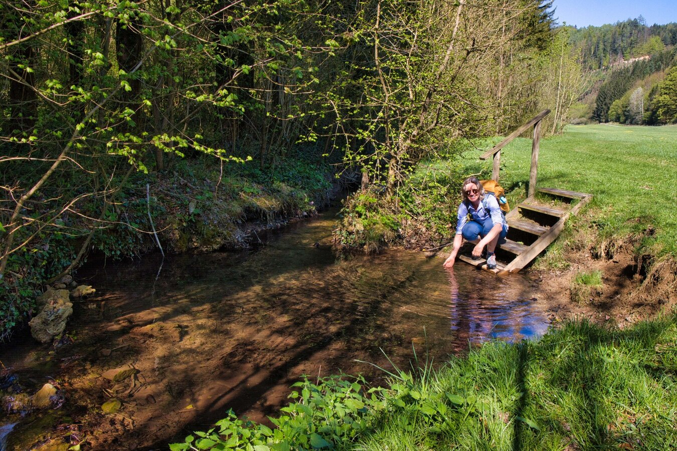
Around Rein Abbey, six signposted themed trails invite visitors to discover the area’s nature, culture and history. The circular hike described here first follows the Mühlbach stream before climbing through the forest along the Kogelleiten Trail to Pleschkogel. From there, the route continues to Pleschwirt, a traditional country inn offering refreshments.
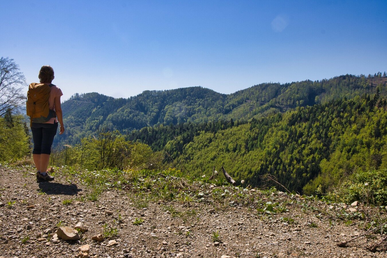
The return route leads via Kehr and along the sunny side of the Kehrer Bach back to Rein Abbey. Along the way, there are recurring views of the Gleinalpe and the surrounding landscape of the Erlebnisregion Graz. The combination of forest trails, scenic views and a traditional mountain inn makes this a rewarding circular hike for discovering the varied landscape around Rein.
Best season
January
February
March
April
May
June
July
August
September
October
November
December
More information
Car: Via Gratwein-Straßengel to Rein Abbey
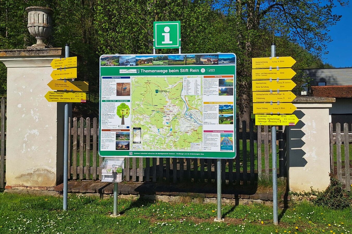
The tour starts at the hiking information board in Rein (453 m above sea level). Cross the Mühlbach stream and follow the barefoot trail or Alpenbock Trail into the valley. At the junction towards Kogelleitengraben and Pleschwirt (trail no. 32), leave the valley floor and climb steadily for around 3.5 km. At the ridge, turn left onto trail no. 562 and continue along the road. A short detour leads to Pleschkogel (1,061 m), a small clearing without a summit cross, before continuing to Pleschwirt.
After a stop at the inn, follow trail no. 562 downhill. After around 2 km, turn left onto trail no. 31 and follow it back to Rein.
Refreshments:
In Rein, Stiftstaverne and Gasthof “Zur Linde” offer dining options. During the hike, you can stop at Pleschwirt .
Bike & Hike from Graz:
Cycle out of the city into the gentle hills surrounding Graz. Well-marked cycling and hiking trails lead to alpine meadows, scenic summits and idyllic spots.
Train: S-Bahn line S1 between Graz and Bruck/Mur, stopping at Gratwein-Gratkorn or Judendorf-Straßengel.
Further information on train and bus connections: www.verbundlinie.at and www.oebb.at
Shared taxi flux: www.flux.at
Further information on train and bus connections: www.verbundlinie.at and www.oebb.at
Shared taxi flux: www.flux.at
Free visitor parking at Rein Abbey
Map & downloads
Gallery
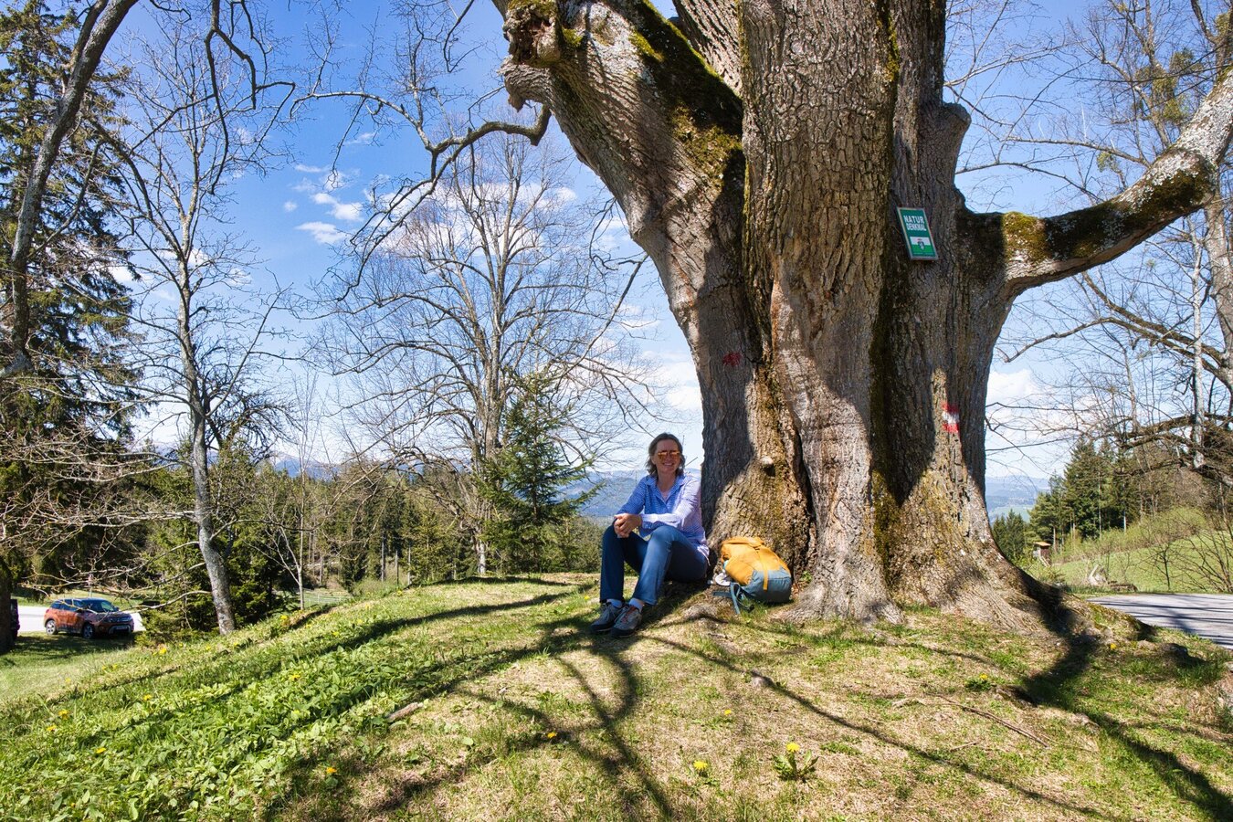
Natural Monument near Pleschwirt | © Weges OG | Weges OG
1/10
20250420_094059.jpg | © Weges OG | Weges OG
2/10
IMG_1335.jpg | © Weges OG | Weges OG
3/10
IMG_1357.jpg | © Weges OG | Weges OG
4/10
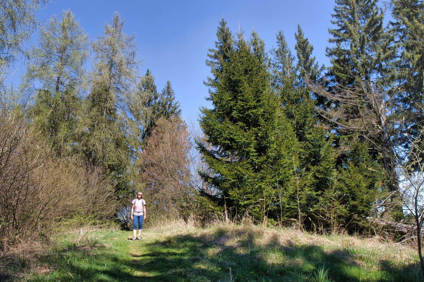
IMG_1391.jpg | © Weges OG | Weges OG
5/10
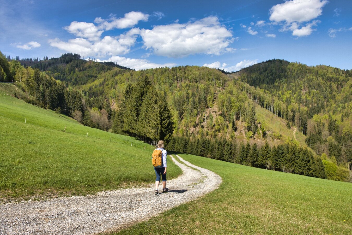
IMG_1458.jpg | © Weges OG | Weges OG
6/10
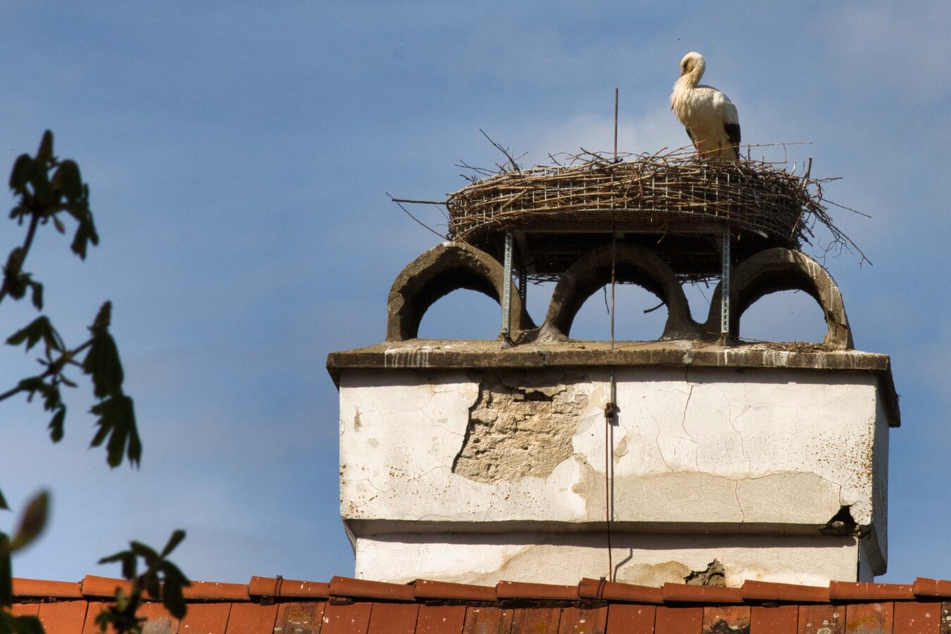
IMG_1494.jpg | © Weges OG | Weges OG
7/10
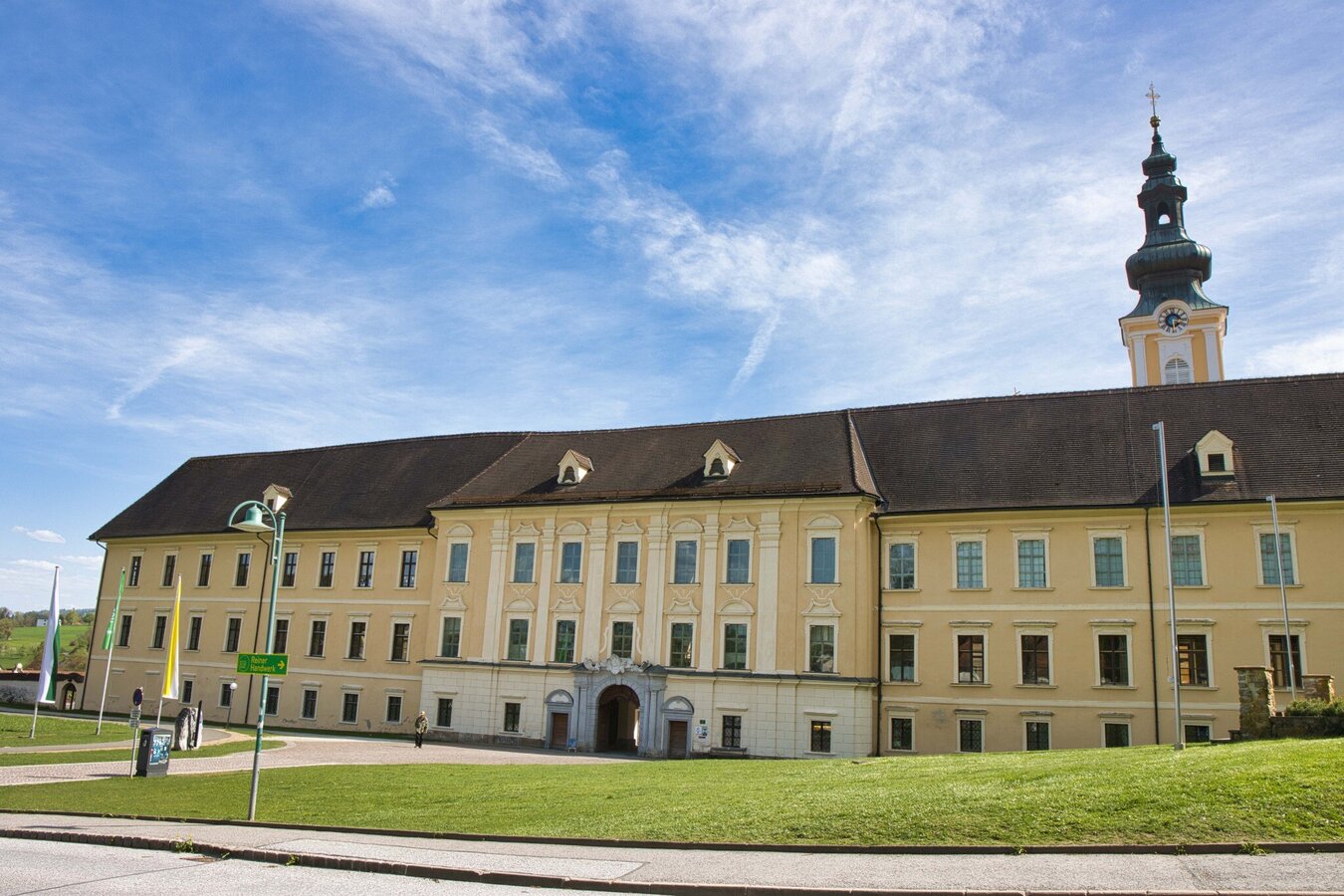
IMG_1505.jpg | © Weges OG | Weges OG
8/10
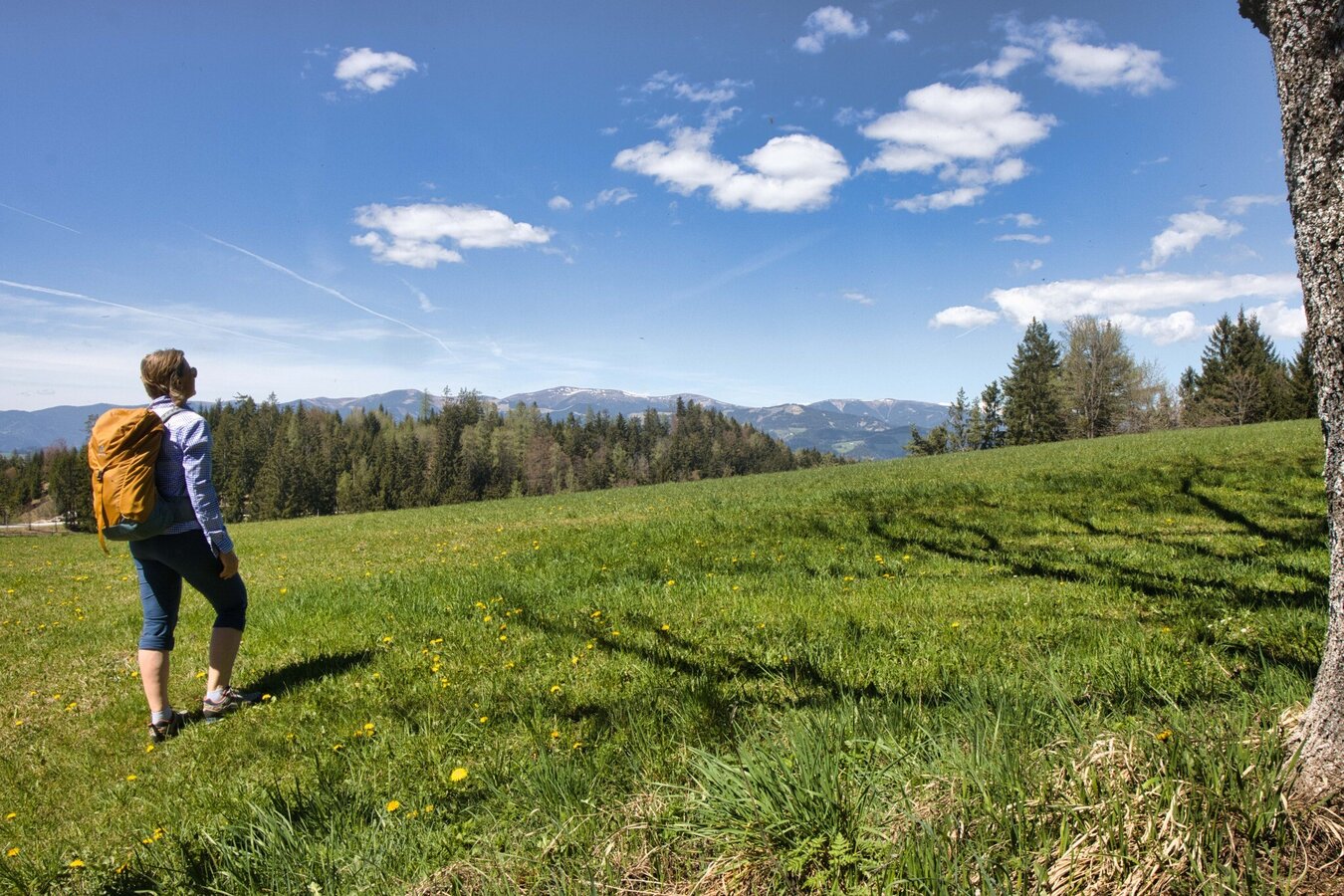
IMG_1404.jpg | © Weges OG | Weges OG
9/10
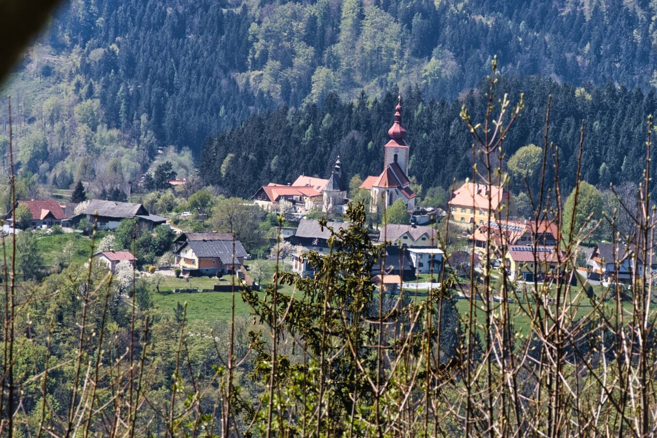
IMG_1426.jpg | © Weges OG | Weges OG
10/10

What the weather will be like Gratwein-Straßengel (390m)
Today, 12.08.2026
Dry and sunny throughout the day with hardly any clouds.Morning

19°C
sr.Regenwahrscheinlichkeit
0%
sr.Windstärke
5 km/h
Noon
27°C
sr.Regenwahrscheinlichkeit
0%
sr.Windstärke
5 km/h
Night
24°C
sr.Regenwahrscheinlichkeit
0%
sr.Windstärke
5 km/h
Tomorrow, 13.08.2026
Dry and sunny throughout the day with hardly any clouds.Morning
18°C
sr.Regenwahrscheinlichkeit
0%
sr.Windstärke
0 km/h
Noon
27°C
sr.Regenwahrscheinlichkeit
0%
sr.Windstärke
5 km/h
Night
24°C
sr.Regenwahrscheinlichkeit
0%
sr.Windstärke
5 km/h
Forecast
14.08.2026
14°C
29°C
15.08.2026
15°C
32°C
16.08.2026
17°C
32°C

