


Niederschöcklweg (R15)
Characteristics
SkillThe tour in numbers
Level of difficulty
medium
Route
9,0 km
Time
4:00 h
Uphill
500 hm
Downhill
500 hm
Highest point
1438 m
Gasthaus Theisslwirt-Schöcklsattel-onto the Schöckl plateau (1445m)-to the starting point
This hiking trail leads from the Theisslwirt inn via forest roads and hiking trails on the south side of the Nieder-Schöckl to the Schöcklsattel (1300m), from there you can then climb up to the Schöckl plateau (1445m) or descend via the Niederschöcklkammsteig to the Theisslwirt inn. Likewise, on the north side, a forest road leads down to the Schöckl road and also back to the starting point.
This hike, which involves a bit of effort, will reward you with a magnificent panoramic view, starting from the Almenland to the north-east, the Hochschwab region, the Grazer Bergland, the West Styrian and East Styrian hill country and as far as Slovenia and Hungary.
Best season
January
February
March
April
May
June
July
August
September
October
November
December
More information
The start is at the foot of the Schöckl at the Gasthaus Theisslwirt, Fam. Greimel. After a short ascent (approx. 800m) you reach a flat forest road and follow it to the gravel road that leads up from Steingraben. Already on this forest road you have a magnificent view of the city of Graz. Now head uphill past the Johann Wallerhütte in the direction of Schöcklsattel. Here you can continue to climb towards the Schöckl plateau or hike southwards along the somewhat strenuous trail over the Niederschöckl ridge back to the Theisslwirt inn. Also the newly built forest road (R14) offers to descend in the direction of Semriach and then take the more comfortable way via the Schöcklstraße to the starting point.
Rules of conduct:
So that everyone can enjoy our well-kept circular hiking trails, we ask you to observe the following points:
Walk at your own risk!Keep the paths clean!Follow the signposted hiking trail!Cycling, driving with motorcycles or other vehicles as well as riding is not permitted here!Keep dogs on a leash!The kindling of open fire is forbidden!Ignore cows, calves, horses, ect..., so that you can hike quietly and the animals can graze undisturbed!
Bring sturdy shoes, rain gear and drink.
The Semriach circular hiking trails were created in close cooperation between local associations, the municipality of Semriach and landowners, and are maintained with great voluntary commitment.
Free hiking maps and information:
Graz Region Tourist Board
Herrengasse 16, 8010 Graz
T +43 316 80750
info@regiongraz.at
www.regiongraz.at/hiking
Free hiking maps and information:
Graz Region Tourist Board
Herrengasse 16, 8010 Graz
T +43 316 80750
info@regiongraz.at
www.regiongraz.at/hiking
Map & downloads
Gallery
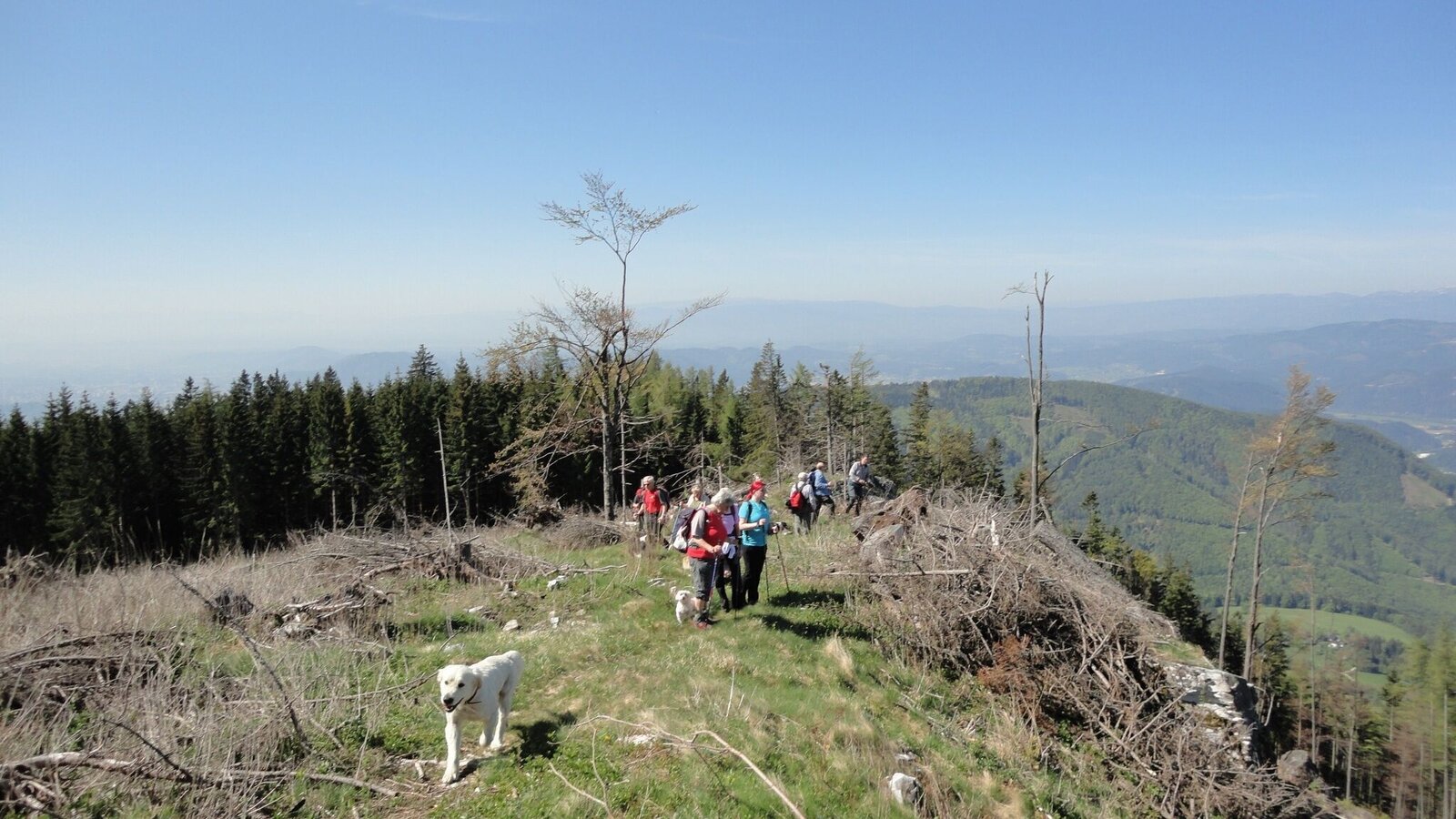
r15 niederschöcklweg_img_19220711 | © Region Graz | Andrea Gottlieb
1/6

niederschoeckl_privat_heinz_kaltschmidt_10.jpg | © Region Graz | Heinz Kaltschmidt
2/6

r15 niederschöcklweg_img_19220706 | © Region Graz | Andrea Gottlieb
3/6
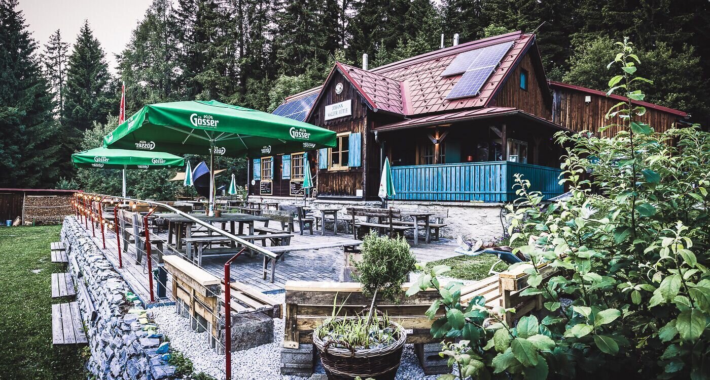
Johann Waller Hütte | © Region Graz | Johann Waller Hütte Schöckl
4/6

r15 niederschöcklweg_img_19220707 | © Region Graz | Andrea Gottlieb
5/6
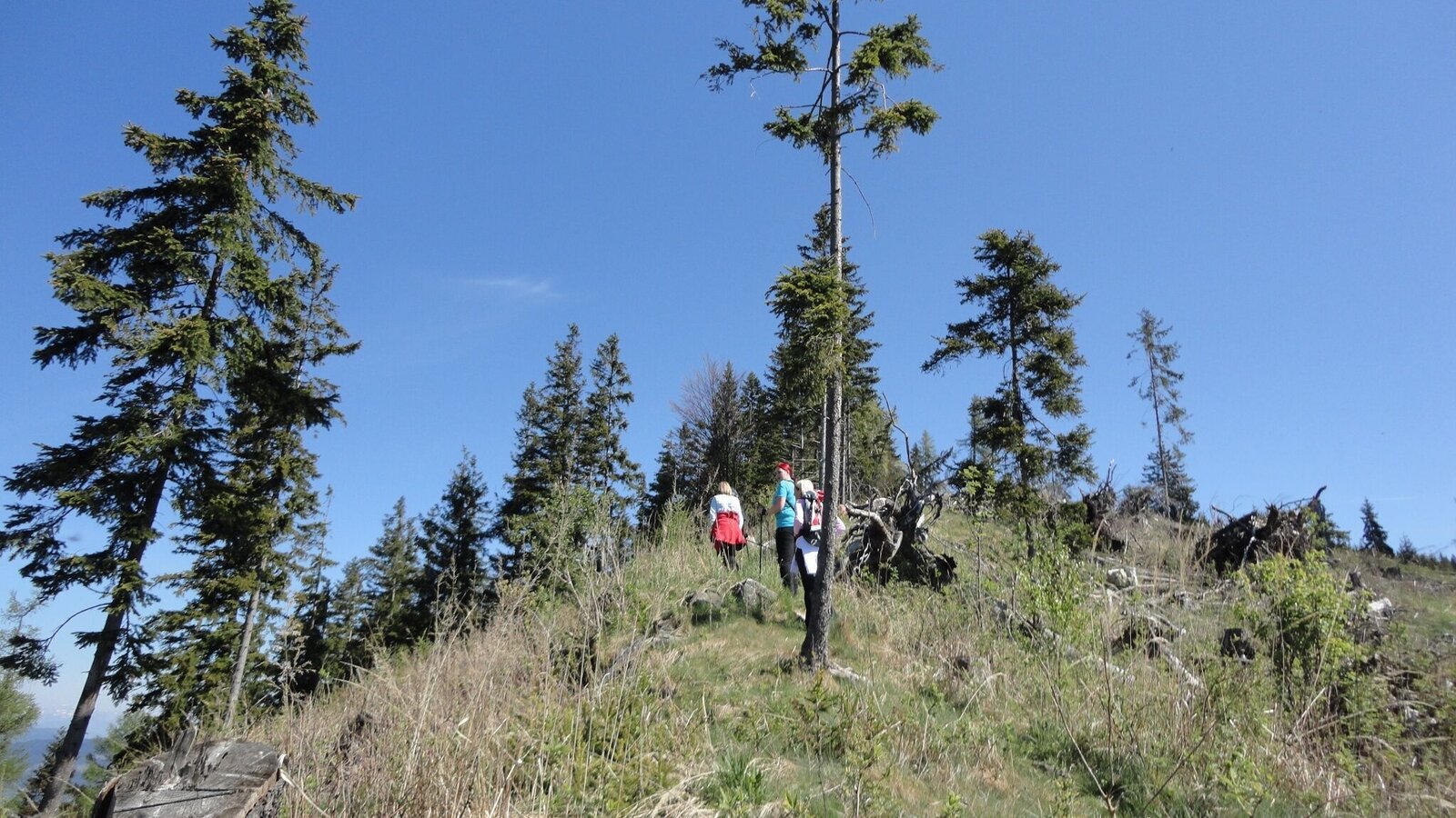
r15 niederschöcklweg_img_19220708 | © Region Graz | Andrea Gottlieb
6/6

What the weather will be like Semriach (715m)
Today, 02.10.2026
Dry and partly sunny throughout the day, with cloudy periods from time to time.Morning

10°C
sr.Regenwahrscheinlichkeit
0%
sr.Windstärke
5 km/h
Noon
18°C
sr.Regenwahrscheinlichkeit
0%
sr.Windstärke
5 km/h
Night
11°C
sr.Regenwahrscheinlichkeit
0%
sr.Windstärke
5 km/h
Tomorrow, 03.10.2026
Dry and sunny throughout the day with hardly any clouds.Morning

7°C
sr.Regenwahrscheinlichkeit
0%
sr.Windstärke
5 km/h
Noon
19°C
sr.Regenwahrscheinlichkeit
0%
sr.Windstärke
5 km/h
Night
11°C
sr.Regenwahrscheinlichkeit
0%
sr.Windstärke
5 km/h
Forecast
04.10.2026
7°C
20°C
05.10.2026
9°C
20°C
06.10.2026

9°C
21°C

