


Hirschegg Mountain Hut Duet
Accessible by public transport- Public bus (within 15 minutes walking distance from starting point)
Characteristics
SkillThe tour in numbers
Level of difficulty
medium
Route
16,0 km
Time
6:00 h
Uphill
880 hm
Downhill
880 hm
Highest point
1775 m
A long and varied hike through the alpine landscape around Hirschegg. Two traditional mountain huts, wide-ranging views and peaceful alpine meadows make this a memorable mountain experience.
The hike leads from Hirschegg via Pongratzwirt and Bartholomäer-Alm into the alpine landscape of Hirschegger Alm. The route alternates between mountain forest, open alpine meadows and peaceful mountain trails. Saureishütte and Bernsteinhütte, two traditional mountain huts, offer opportunities for a break along the way. The ridge of Hirschegger Alm opens up wide views across Styria and into Carinthia. On the way to Bernsteinhütte, the striking Sieben Heufuhren, impressive rock formations in the alpine landscape, are a highlight.
At around 16 km and 880 metres of elevation gain, the hike requires good fitness. The route can be extended via Seinerkreuz and the ridge of Hirschegger Alm, increasing the distance to around 18 km and 1,000 metres of elevation gain.
Sieben Heufuhren
The striking rock formations consist of gneiss mica schist. According to legend, the seven Heufuhren are the petrified image of a wicked farmer, his farmhands and their carts, who tried to bring in the hay on St Peter and Paul’s Day before an approaching thunderstorm.
At around 16 km and 880 metres of elevation gain, the hike requires good fitness. The route can be extended via Seinerkreuz and the ridge of Hirschegger Alm, increasing the distance to around 18 km and 1,000 metres of elevation gain.
Sieben Heufuhren
The striking rock formations consist of gneiss mica schist. According to legend, the seven Heufuhren are the petrified image of a wicked farmer, his farmhands and their carts, who tried to bring in the hay on St Peter and Paul’s Day before an approaching thunderstorm.
Best season
January
February
March
April
May
June
July
August
September
October
November
December
More information
Car:
Take the A2 motorway to the Modriach exit. Continue on the Modriach regional road towards Hirschegg. In Hirschegg, turn left towards the church. After a short uphill section, you reach the Parish Church of St Mary and the village centre.
Sufficient parking is available.
Take the A2 motorway to the Modriach exit. Continue on the Modriach regional road towards Hirschegg. In Hirschegg, turn left towards the church. After a short uphill section, you reach the Parish Church of St Mary and the village centre.
Sufficient parking is available.
The hike starts in the village centre of Hirschegg. Follow the well-marked trail 540 to Pongratzwirt. Above the inn, the trail continues uphill through the mountain forest. Passing the private Franzlhütte, the route continues with occasional views towards the Bartholomäer-Alm.
At Bartholomäer-Alm, a short detour to the little church is worthwhile. The forest road then continues to Saureishütte at 1,620 m above sea level. For the extended route via Seinerkreuz, turn off after the church and follow the trail towards the ridge of Hirschegger Alm.
From Saureishütte, continue on trail 45 to Hirschegger Alm. There, join the long-distance trail 505 towards Pack. The trail follows the alpine ridge gently downhill and passes the impressive rock formations known as the Sieben Heufuhren.
After just over 11 km, you reach Bernsteinhütte. For the return, follow trail 41 downhill through the forest. The final section crosses a steeper meadow, the former ski slope of the Hirschegg village lifts, before returning to the village centre of Hirschegg.
Hiking or mountain boots, hiking poles if needed
Daypack with rain cover
Water bottle, lunch box and snacks
Light rain poncho and/or umbrella
Sun protection
First-aid kit
Mobile phone/GPS device
Daypack with rain cover
Water bottle, lunch box and snacks
Light rain poncho and/or umbrella
Sun protection
First-aid kit
Mobile phone/GPS device
Visit the St. Bartholomäer chapel, take the detour via Seinerkreuz and enjoy the panorama of Hirschegger Alm and the Sieben Heufuhren rock formations.
Hirzmann and Packer reservoirs are also nearby.
Hirzmann and Packer reservoirs are also nearby.
Free hiking map and information:
Graz Region Tourist Board
Herrengasse 16, 8010 Graz
T: +43 316 80750, info@regiongraz.at
Graz Region Information Office Lipizzanerheimat
Rathausplatz 2
8580 Köflach, Austria
T: +43 3144 727770, lipizzanerheimat@regiongraz.at
Map & downloads
Gallery
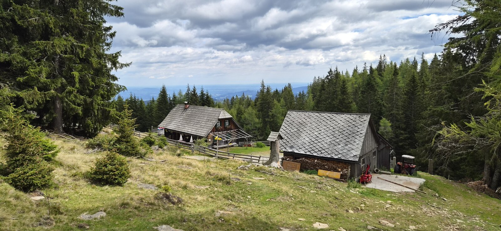
Saureishütte | © Region Graz | Birgit Oberleiter
1/10
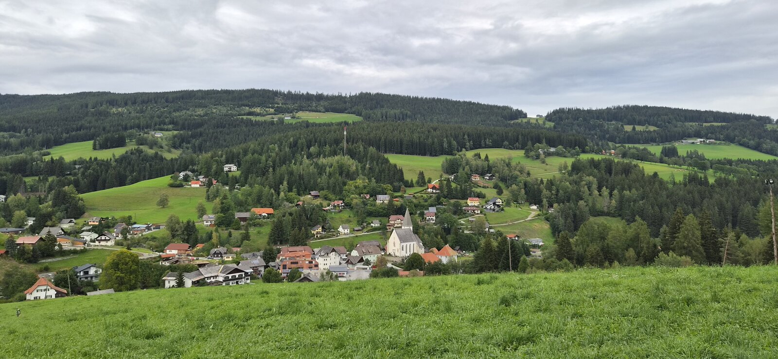
View of Hirschegg | © Region Graz | Birgit Oberleiter
2/10
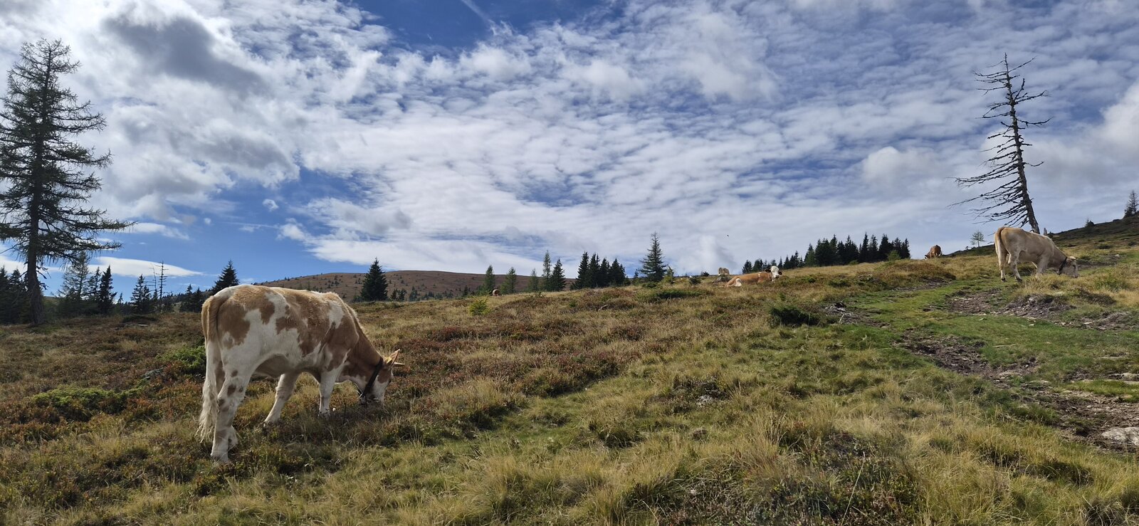
Bartholomäer-Alm on the way to Seinerkreuz | © Region Graz | Birgit Oberleiter
3/10
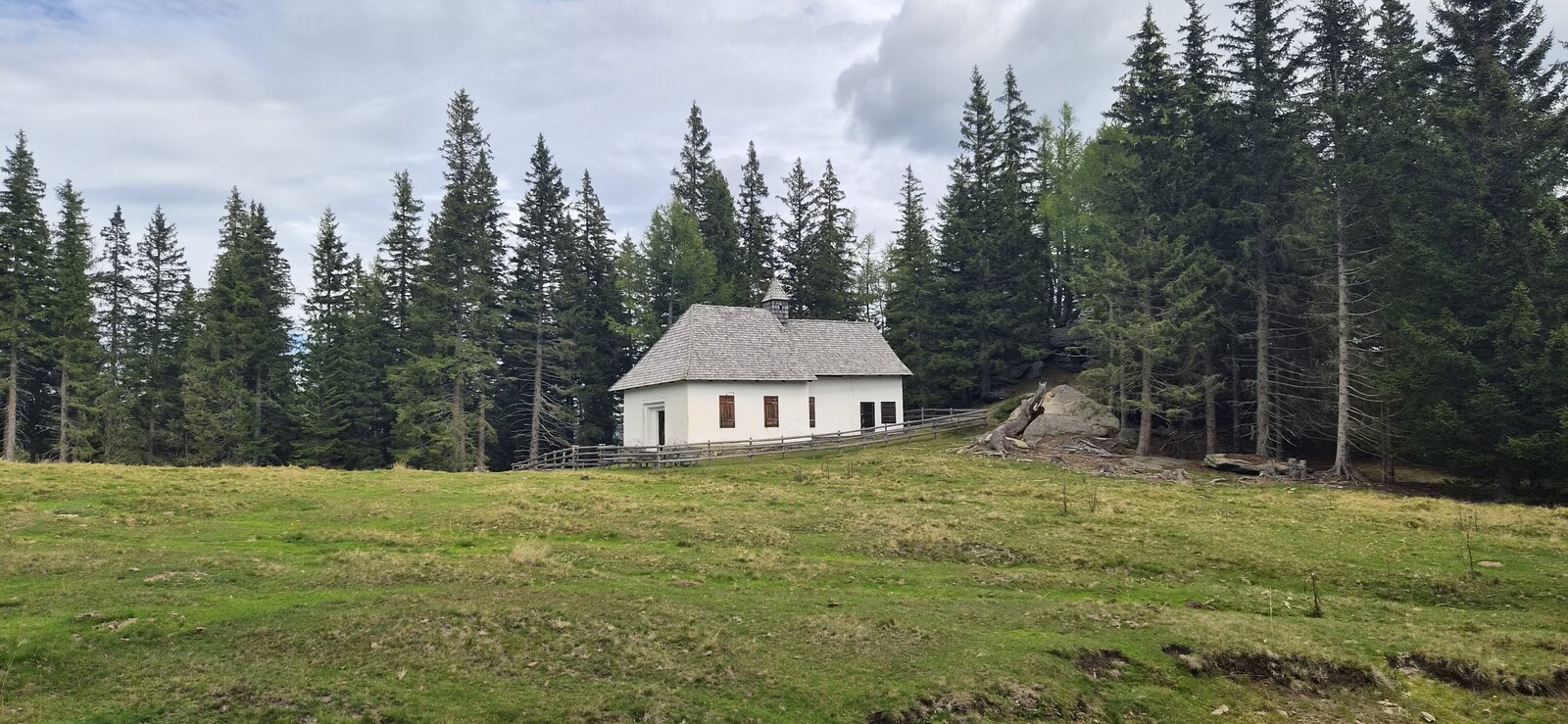
St. Bartholomäer Chapel | © Region Graz | Birgit Oberleiter
4/10
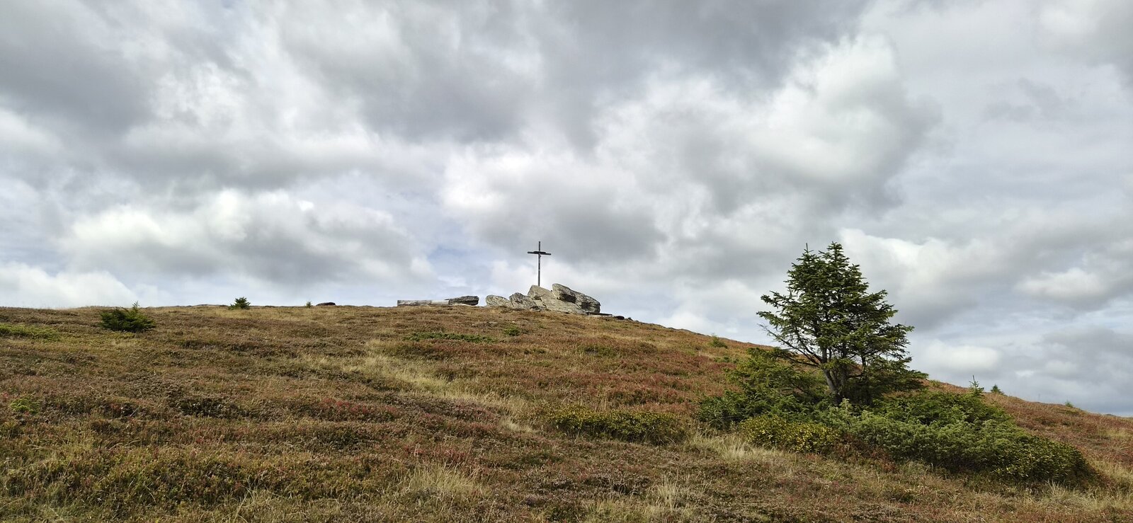
Summit cross at Seinerkreuz | © Region Graz | Birgit Oberleiter
5/10
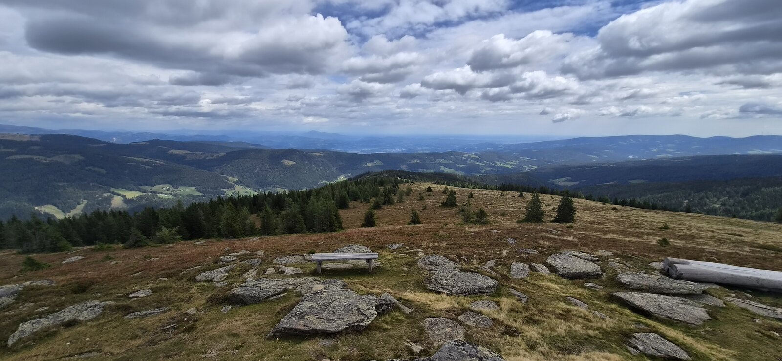
Seinerkreuz View | © Region Graz | Birgit Oberleiter
6/10
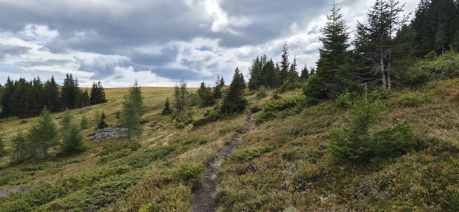
Hiking across Hirschegger Alm | © Region Graz | Birgit Oberleiter
7/10
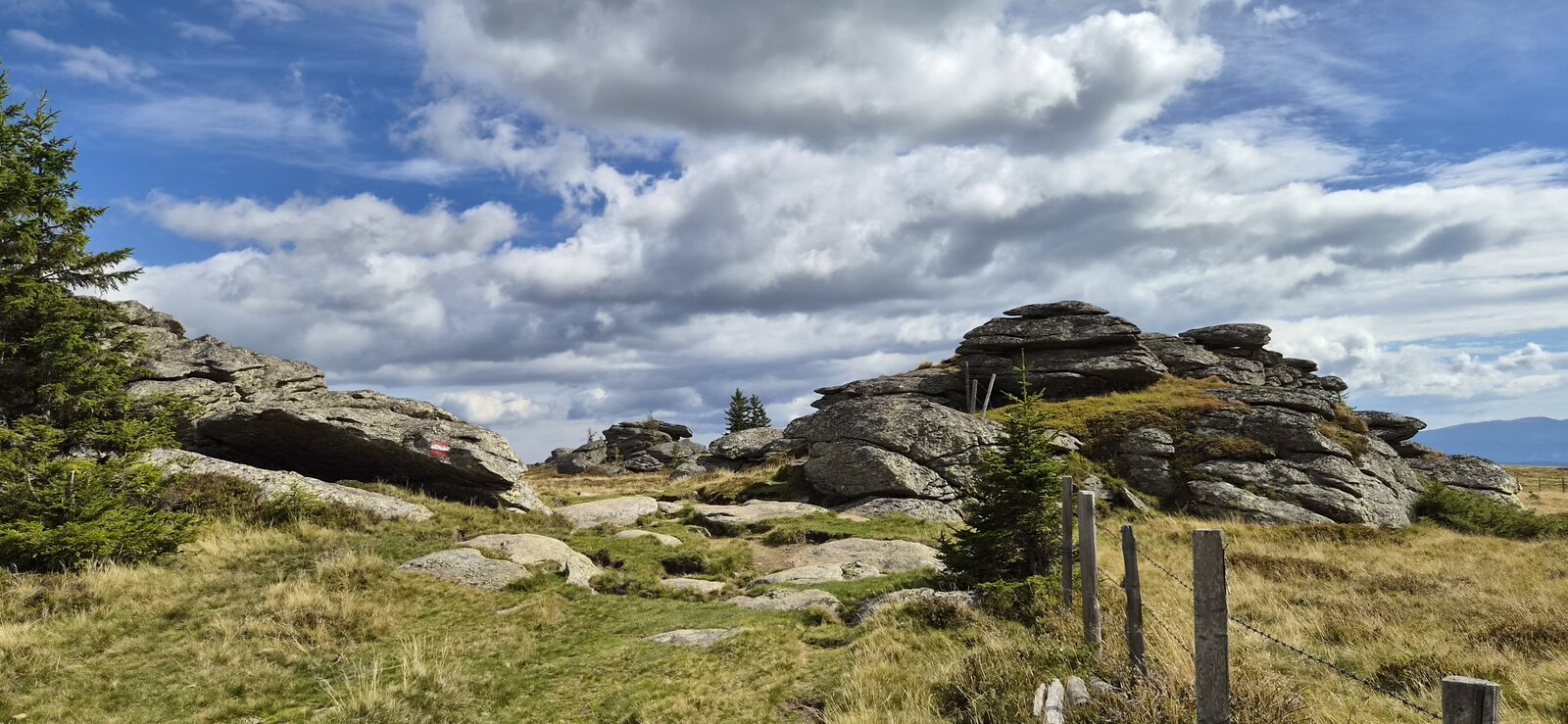
Seven Heufuhren Rock Formations | © Region Graz | Birgit Oberleiter
8/10
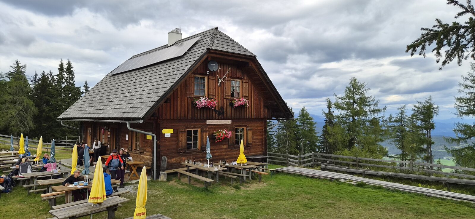
Bernsteinhütte | © Region Graz | Birgit Oberleiter
9/10
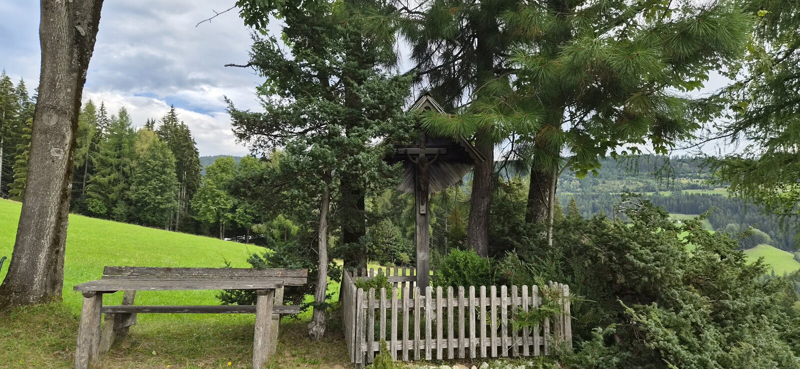
Wayside cross with rest area | © Region Graz | Birgit Oberleiter
10/10

What the weather will be like Hirschegg-Pack (896m)
Today, 11.10.2026
Rather dry after morning showers die away. Light rain will start again in the afternoon.Morning

8°C
sr.Regenwahrscheinlichkeit
80%
sr.Windstärke
5 km/h
Noon

13°C
sr.Regenwahrscheinlichkeit
20%
sr.Windstärke
5 km/h
Night

10°C
sr.Regenwahrscheinlichkeit
65%
sr.Windstärke
5 km/h
Tomorrow, 12.10.2026
Showers will die away soon to leave a partly sunny day.Morning
7°C
sr.Regenwahrscheinlichkeit
55%
sr.Windstärke
5 km/h
Noon
11°C
sr.Regenwahrscheinlichkeit
45%
sr.Windstärke
5 km/h
Night

7°C
sr.Regenwahrscheinlichkeit
10%
sr.Windstärke
5 km/h
Forecast
13.10.2026

3°C
13°C
14.10.2026
4°C
14°C
15.10.2026
6°C
16°C

