


Hebalm Chapel Circuit
Characteristics
SkillThe tour in numbers
Level of difficulty
easy
Route
5,4 km
Time
1:30 h
Uphill
80 hm
Downhill
80 hm
Highest point
1474 m
The short circular hike at Hebalm leads to scenic viewpoints and through a varied landscape. Along the way, discover peaceful chapels and wide views across the surrounding hills.
Hebalm is an ideal hiking destination throughout the year. The 5 km chapel circuit leads through peaceful forests and alpine meadows to several chapels and scenic viewpoints. Highlights include the Malteserkapelle, Hebalmkirche and the Kampelekogel viewing platform.
The short route is also well suited to families and relaxed afternoon walks.
The short route is also well suited to families and relaxed afternoon walks.
Best season
January
February
March
April
May
June
July
August
September
October
November
December
More information
Take the A2 motorway to the Packsattel exit. Continue towards Hebalm and follow the signs.
The circuit starts at the parking area at Hebalm Lake. Walk past the lake on the left and follow the marked trail parallel to the country road to Hebalmkirche. Continue behind the church, but first take a short detour to the Malteserkapelle.
The route then follows a forest road closed to car traffic by a barrier. Those looking to shorten the hike can follow the level forest road directly back to Hebalm Lake. Detours towards Freiländerhütte or Rehbockhütte are also possible.
For the full chapel circuit, follow trail 52 to the sign for the viewing platform. A short climb leads to the Kampelekogel viewing platform with views across the surrounding landscape. Return to the forest road and continue to long-distance trail 505, then turn right.
After a short downhill section, leave trail 505 and turn right onto the forest road, which is used as a cross-country ski trail in winter. Follow it back to Hebalm Lake. Just before the lake, a sign points to a scenic viewpoint above the lake. After visiting the viewpoint, continue to the starting point.
Hiking or mountain boots
Daypack
Water bottle and snacks
Sun protection
Rain gear
First-aid kit
Mobile phone/GPS device
Daypack
Water bottle and snacks
Sun protection
Rain gear
First-aid kit
Mobile phone/GPS device
Malteser chapel, the viewing platform on Kampelekogel and a walk around Hebalm Lake.
Free hiking map and information:
Graz Region Tourist Board
Herrengasse 16, 8010 Graz
T: +43 316 80750, info@regiongraz.at
Graz Region Information Office Lipizzanerheimat
Rathausplatz 2
8580 Köflach, Austria
T: +43 3144 727770, lipizzanerheimat@regiongraz.at
Map & downloads
Gallery
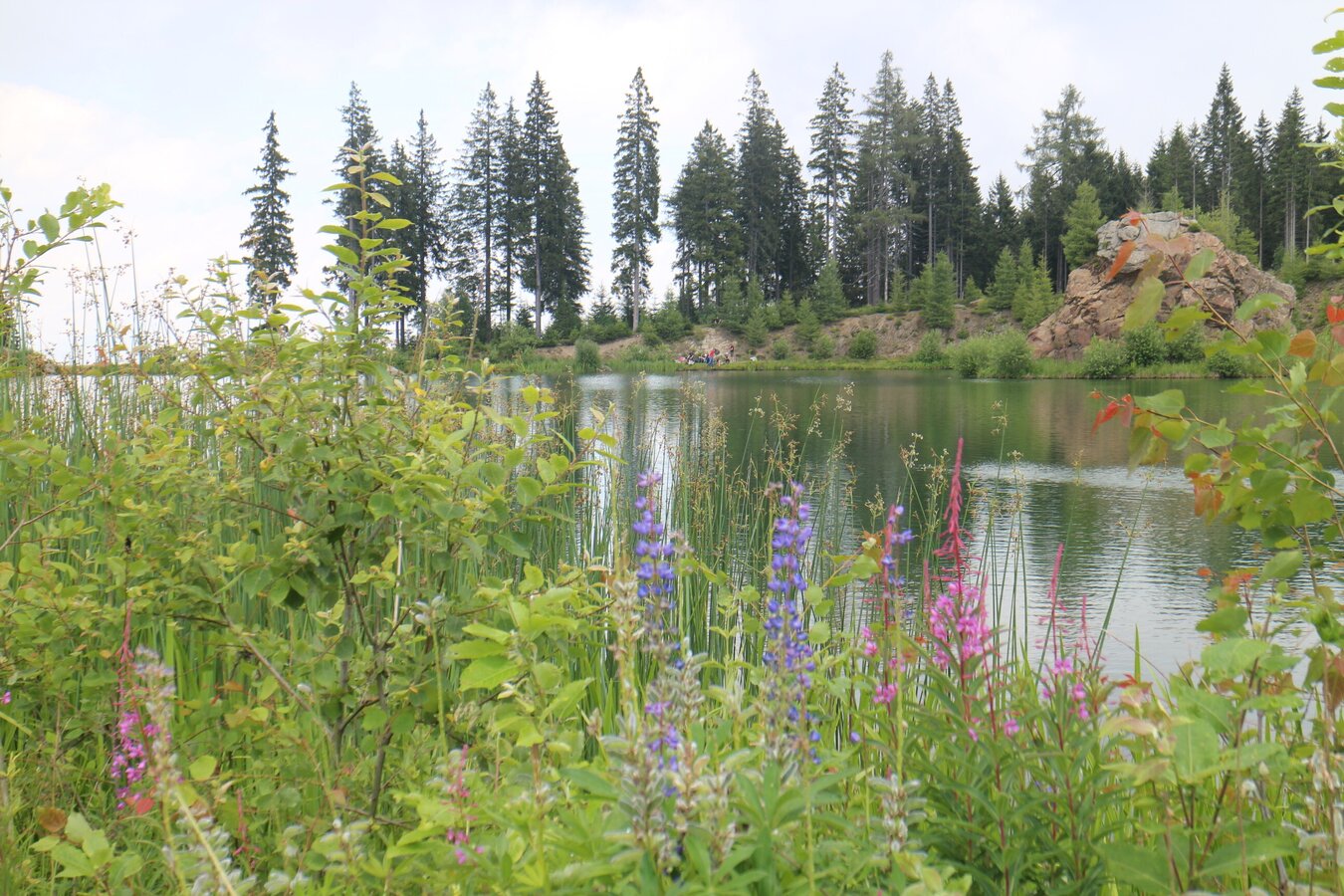
Hebalm Lake | © Region Graz | Heinz Kaltschmidt
1/4
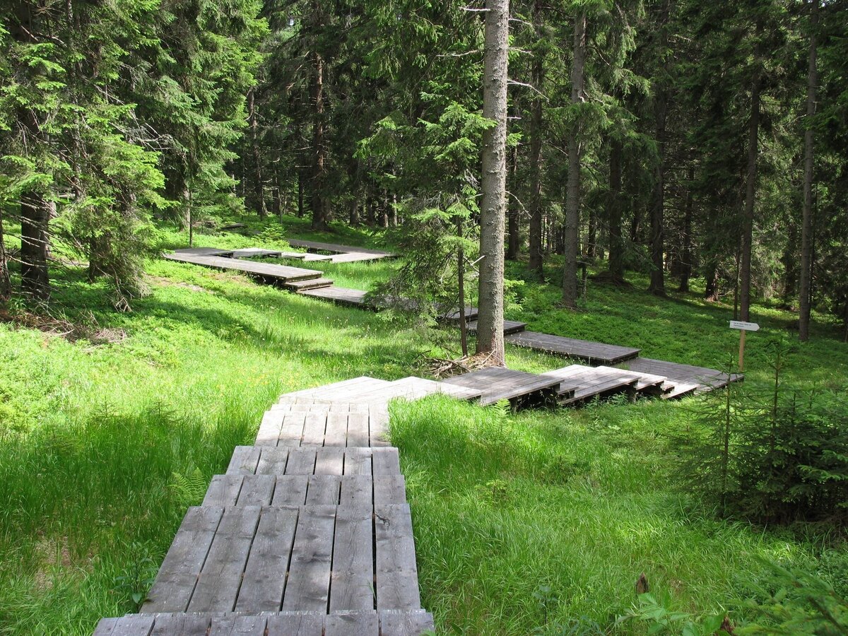
Dom des Waldes | © Werbeagentur SMAC | Sven Raters
2/4
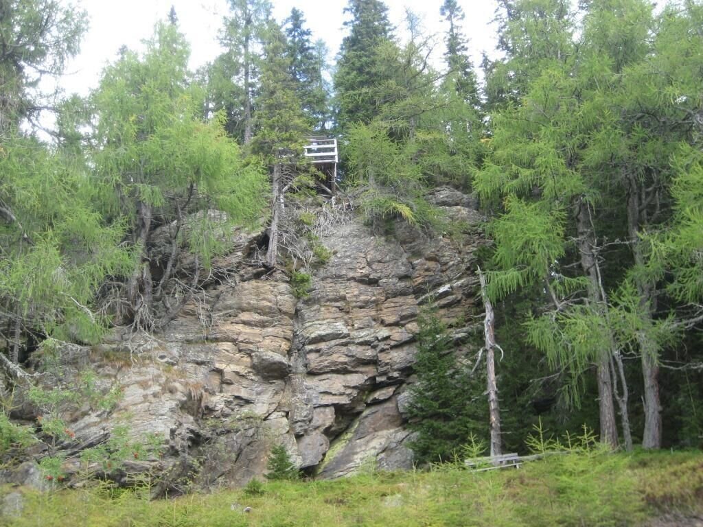
Aussichtsplattform: Kampelekogel | © Region Graz | Schmid
3/4
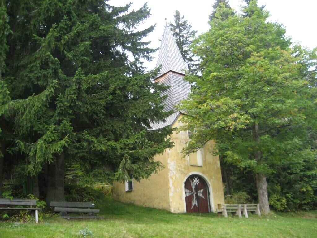
Hebalmkirche "Malteserkapelle" | © Region Graz
4/4

