


Fürstenstand: Head up High
Accessible by public transport- Train (within 15 minutes walking distance from starting point)
Characteristics
SkillThe tour in numbers
Level of difficulty
easy
Route
5,5 km
Time
2:00 h
Uphill
370 hm
Downhill
370 hm
Highest point
750 m
A sporty city hike from Eggenberg across Plabutsch to Fürstenstand, with one of the finest views over Graz.
Description EN
At 754 m, Fürstenstand is the main summit of Plabutsch and the highest point in Graz. This sporty city hike leads from Eggenberg across Plabutsch to Gösting, combining steep climbs with shaded forest trails and views across Graz and the Grazer Bergland. At the summit, the historic viewing tower, renewed in 2024, offers a spectacular panorama, while the Fürstenstand mountain restaurant provides an opportunity to stop for refreshments. Both the starting point and destination are well connected by public transport.
Best season
January
February
March
April
May
June
July
August
September
October
November
December
More information
Public transport is recommended. Paid parking is available near the starting point.
From Alt Eggenberg stop, hiking trail 5 leads through the residential area via Nothelferweg and Bergstraße. Passing Algersdorf Castle, the route continues towards the hermitage and the Einsiedeleihöhle cave.
Here, the hiking trail branches sharply left and climbs steeply through the forest towards Plabutsch. Some sections are steep and can be slippery when wet. The “Knight Rider” mountain bike trail is not intended for hikers. The marked hiking trail continues to Fürstenstand (754 m).
From Fürstenstand, hiking trail 2a descends steeply below the wildlife enclosure towards Gösting, where a public transport stop is available for the return journey.
Alternative: From Fürstenstand, the hike can be extended across the other side of Plabutsch to Thalersee. This option is considerably longer, but leads through beautiful scenery to the idyllic Thalersee.
A visit to the UNESCO World Heritage Site Eggenberg Palace and a stop at Fürstenstand – Das Bergrestaurant round off the hike.
Take tram line 1 from Hauptplatz to Alt-Eggenberg stop.
Return: Take bus routes 40, 48 or 65 from Gösting.
Return: Take bus routes 40, 48 or 65 from Gösting.
Free hiking maps and information:
Graz Region Tourist Board
Herrengasse 16
8010 Graz
T: +43 316 80750, info@regiongraz.at
Graz Region Tourist Board
Herrengasse 16
8010 Graz
T: +43 316 80750, info@regiongraz.at
Map & downloads
Gallery
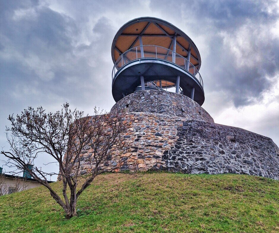
Viewing tower at Fürstenstand | © Region Graz | Weges OG
1/7
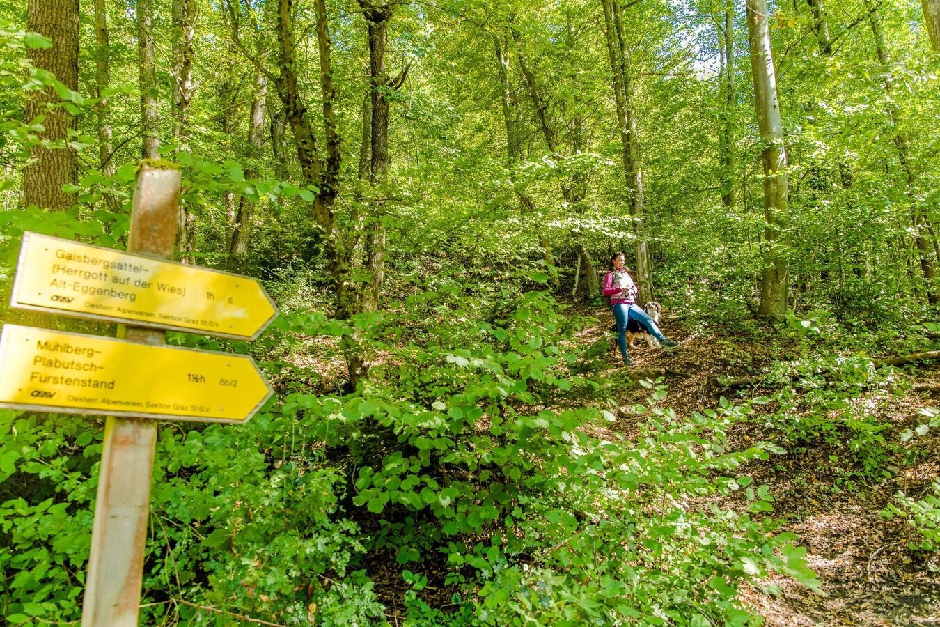
Forest trail on Plabutsch | © Graz Tourismus | Mias Photoart
2/7
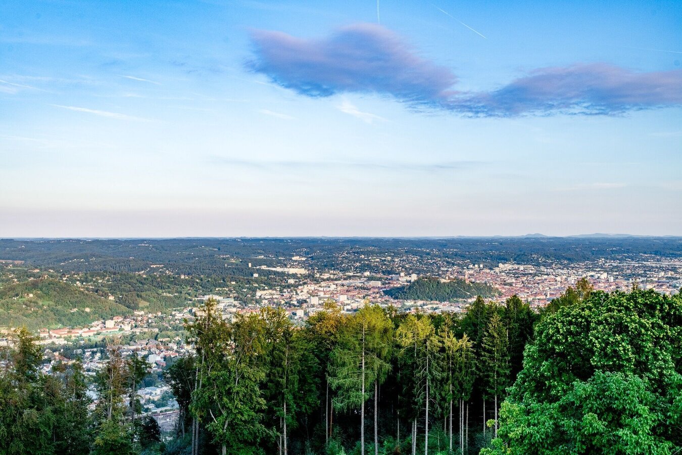
View over Graz | © Graz Tourismus | Mias Photoart
3/7

View from Plabutsch | © Graz Tourismus | Mias Photoart / Michaela Pfleger
4/7
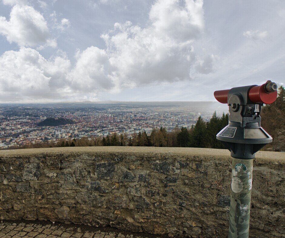
View over Graz | © Region Graz | Weges OG
5/7

© Region Graz | valantic Austria
6/7
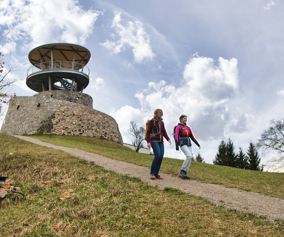
© Region Graz | Weges OG
7/7

What the weather will be like Graz (350m)
Today, 15.10.2026
Dry and partly sunny throughout the day, with cloudy periods from time to time.Morning

8°C
sr.Regenwahrscheinlichkeit
0%
sr.Windstärke
0 km/h
Noon

17°C
sr.Regenwahrscheinlichkeit
0%
sr.Windstärke
5 km/h
Night
12°C
sr.Regenwahrscheinlichkeit
0%
sr.Windstärke
5 km/h
Tomorrow, 16.10.2026
Some clouds in the morning, lateron much sunshine and hardly any cloudsMorning
8°C
sr.Regenwahrscheinlichkeit
0%
sr.Windstärke
5 km/h
Noon

17°C
sr.Regenwahrscheinlichkeit
0%
sr.Windstärke
5 km/h
Night
11°C
sr.Regenwahrscheinlichkeit
0%
sr.Windstärke
5 km/h
Forecast
16.10.2026
7°C
18°C
17.10.2026
5°C
18°C
18.10.2026
8°C
17°C

