


From Salzstiegl to Hirschegg via Peterer Riegel
Accessible by public transport- Hiking taxi
Characteristics
SkillThe tour in numbers
Level of difficulty
medium
Route
16,0 km
Time
6:00 h
Uphill
505 hm
Downhill
1152 hm
Highest point
1967 m
This scenic high-altitude hike crosses open mountain ridges, passes Peterer Riegel, Seinerkreuz and Saureishütte, and ends in the village centre of Hirschegg.
The hike leads from Salzstiegl over the summit of Peterer Riegel and its summit cross to Hirschegg. Scenic high-altitude trails, open alpine meadows and prominent peaks shape the route. Seinerkreuz, Saureishütte and the idyllic St. Bartholomäer Chapel are among the highlights along the way. The varied trail finally descends through forests and meadows to the mountain village of Hirschegg.
Best season
January
February
March
April
May
June
July
August
September
October
November
December
More information
Car:
Take the A2 motorway to the Modriach exit. Continue on the Modriach regional road towards Hirschegg, through Hirschegg and on to Salzstiegl.
Sufficient parking is available.
Take the A2 motorway to the Modriach exit. Continue on the Modriach regional road towards Hirschegg, through Hirschegg and on to Salzstiegl.
Sufficient parking is available.
The hike starts at Salzstiegelhaus (1,543 m) and follows long-distance trail 505 past the wind turbines and the reservoir. Across open alpine terrain, the route reaches the turn-off to Peterer Riegel after around 3 km. A steady climb leads to the summit (1,967 m), where wide views open across Carinthia and Styria. A well-maintained trail then descends back to long-distance trail 505 before continuing towards Seinerkreuz.
From Seinerkreuz, the route follows trail 554 to Saureishütte (1,620 m), a good place for a break. The trail then continues via trail 45 to Bartholomäer Alm and the St. Bartholomäer Chapel. From there, trail 540 leads through forest and along forestry roads to the former Pongratzwirt. The final section descends through meadows and forest, with a short stretch on asphalt, before reaching the centre of Hirschegg.
The route combines open alpine ridges and panoramic viewpoints with quiet forest sections and a varied descent into the valley.
Hiking or mountain boots, hiking poles if needed
Daypack with rain cover
Water bottle, lunch box and snacks
Light rain poncho and/or umbrella
Sun protection
First-aid kit
Mobile phone/GPS device
Daypack with rain cover
Water bottle, lunch box and snacks
Light rain poncho and/or umbrella
Sun protection
First-aid kit
Mobile phone/GPS device
In late June and early July, the alpine rose bloom adds vibrant colour to the landscape. Highlights include Seinerkreuz and the St. Bartholomäer Chapel.
The starting point is not accessible by public transport.
Free hiking map and information:
Graz Region Tourist Board
Herrengasse 16, 8010 Graz
T: +43 316 80750, info@regiongraz.at
Graz Region Information Office Lipizzanerheimat
Rathausplatz 2
8580 Köflach, Austria
T: +43 3144 727770, lipizzanerheimat@regiongraz.at
Map & downloads
Gallery
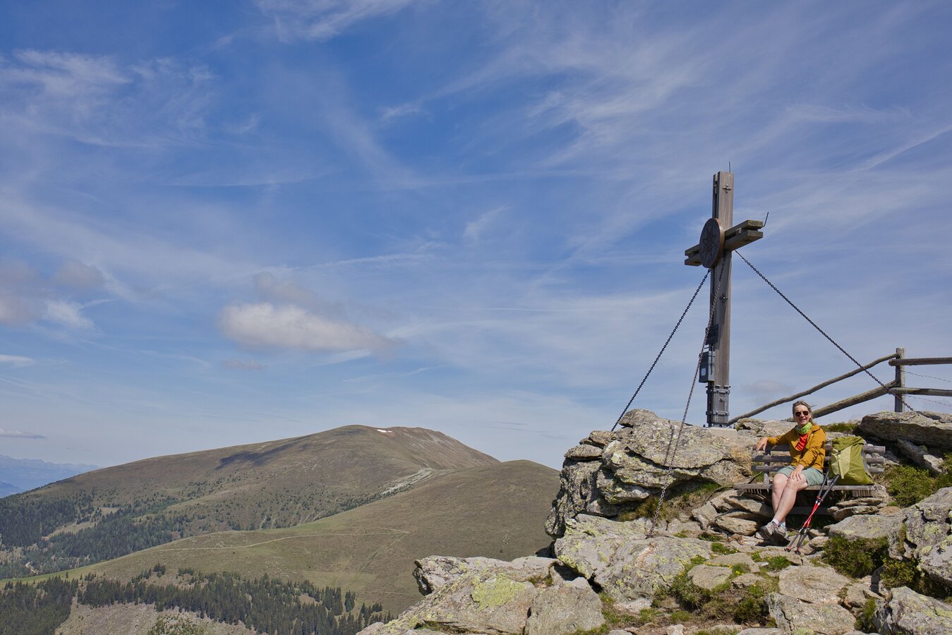
Summit Cross at Peterer Riegel | © Region Graz | Weges OG
1/11
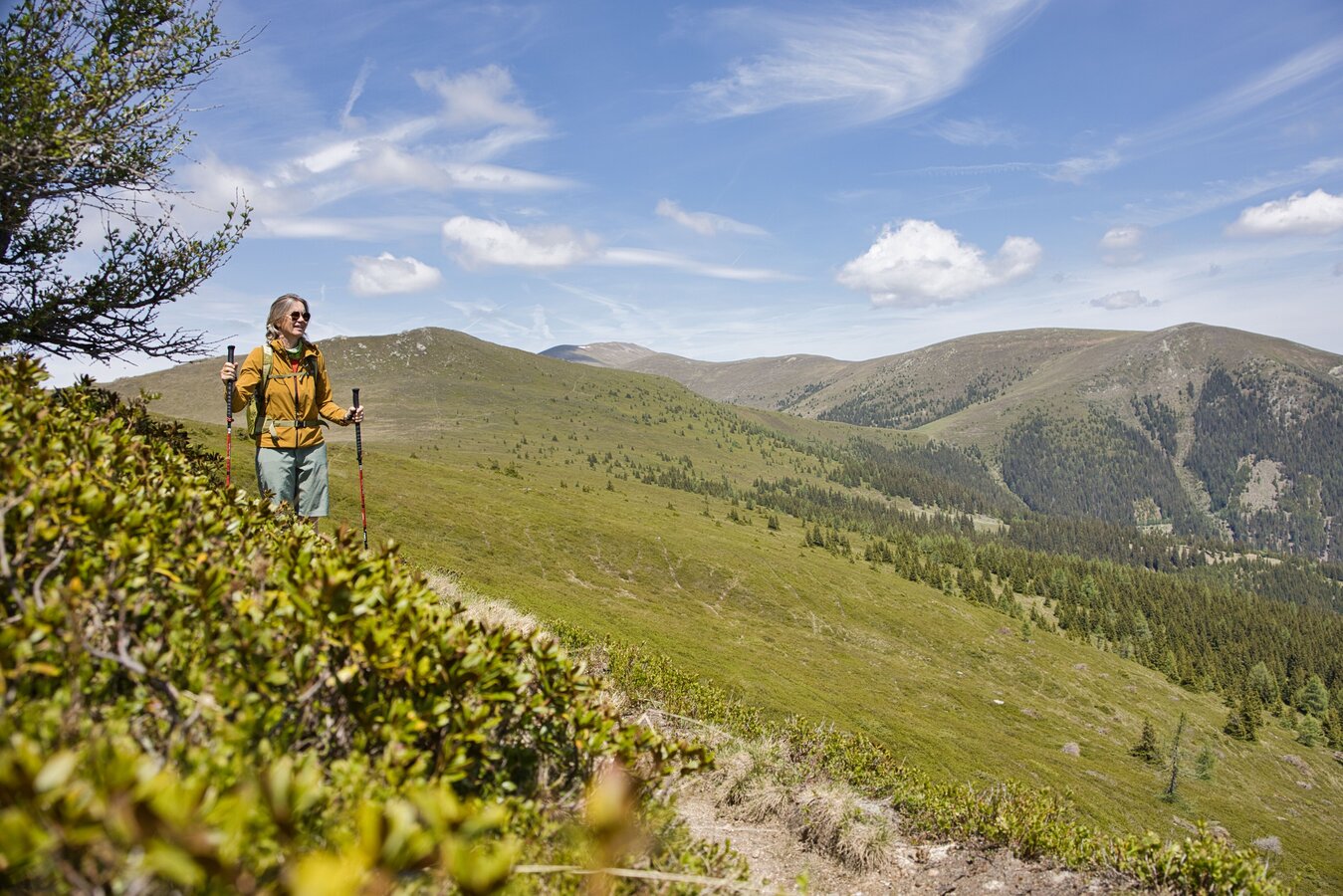
Hirschegger Alm | © Region Graz | Weges OG
2/11

speikkogel_c_region_graz_christoph_trois_39_522708889.jpg
3/11
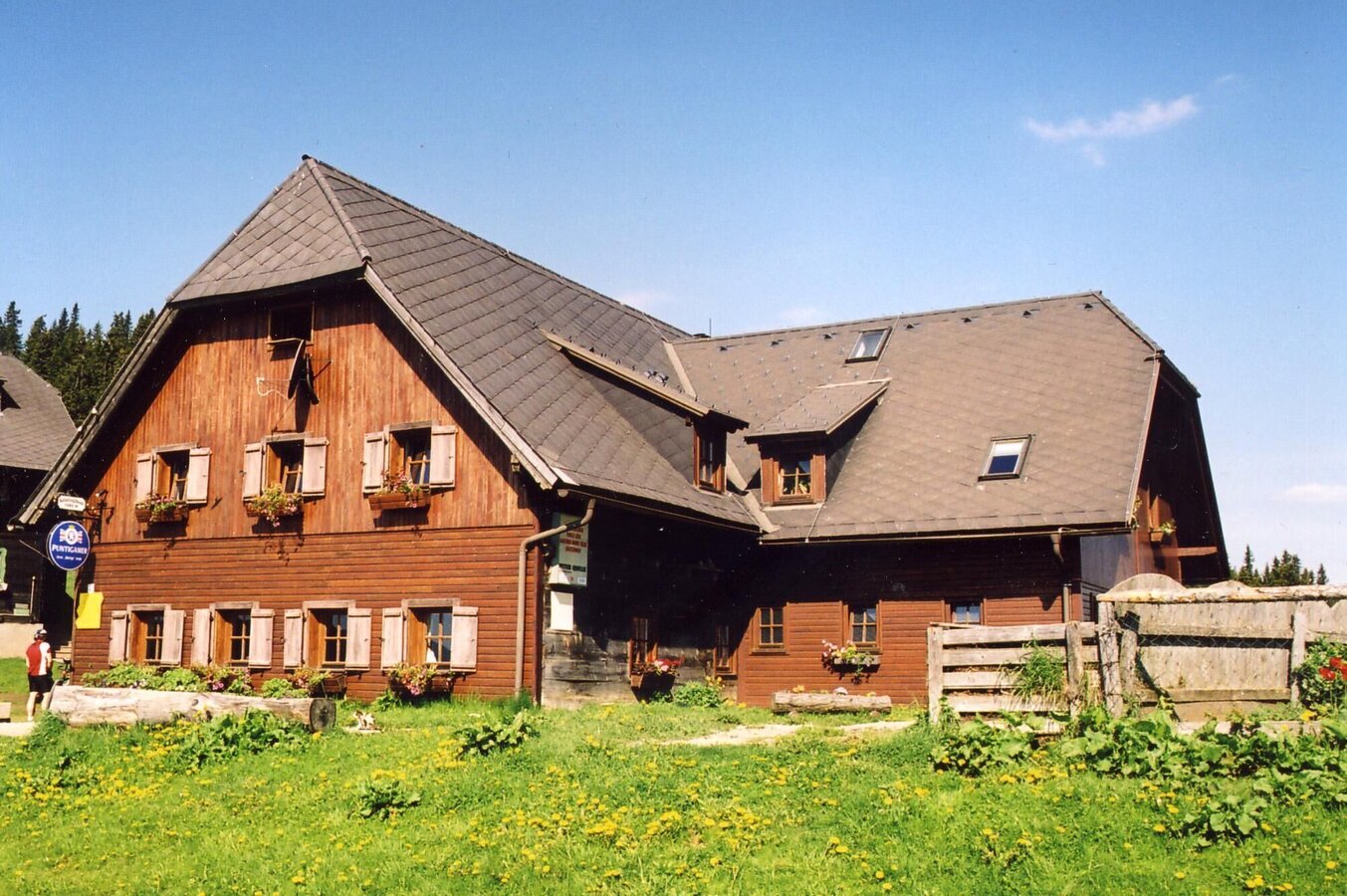
Salzstieglhaus Sommer | © ÖAV Voitsberg | Hans Fink
4/11
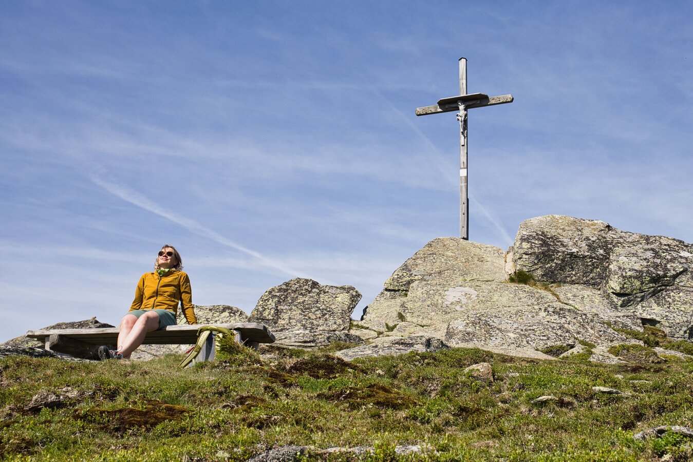
Seinerkreuz with Bench | © Region Graz | Weges OG
5/11
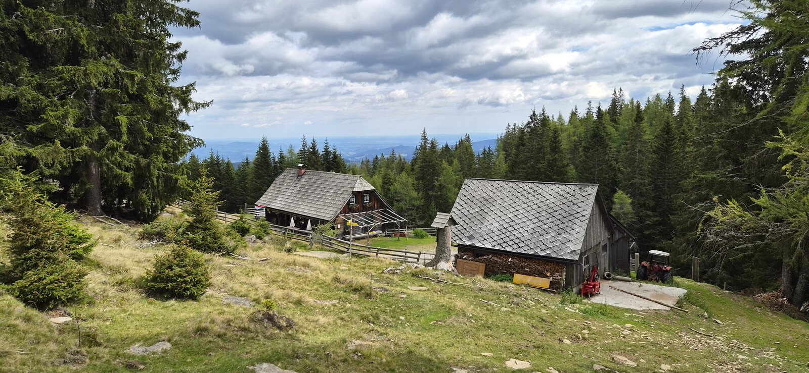
Saureishütte | © Region Graz | Birgit Oberleiter
6/11
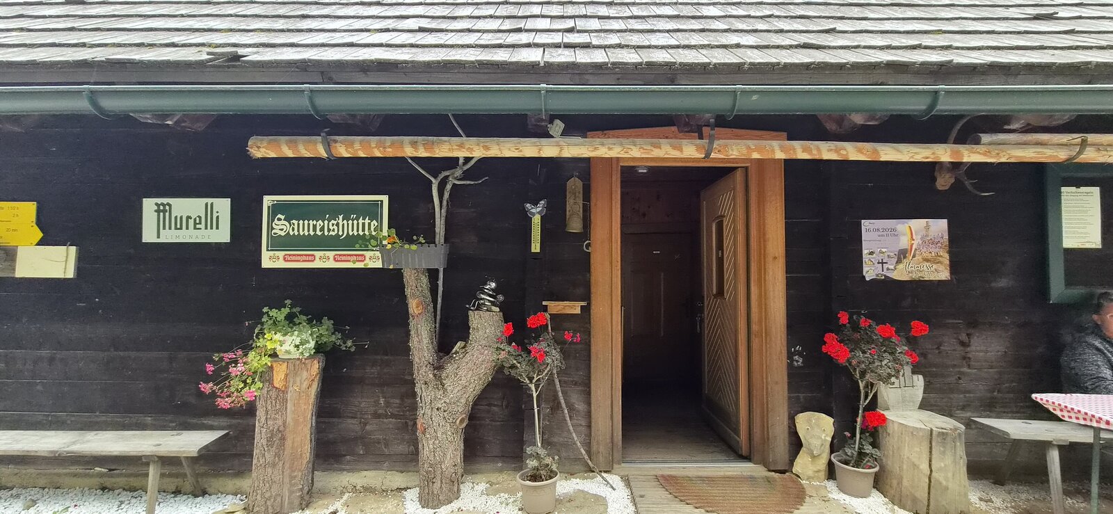
Saureishütte | © Region Graz | Birgit Oberleiter
7/11
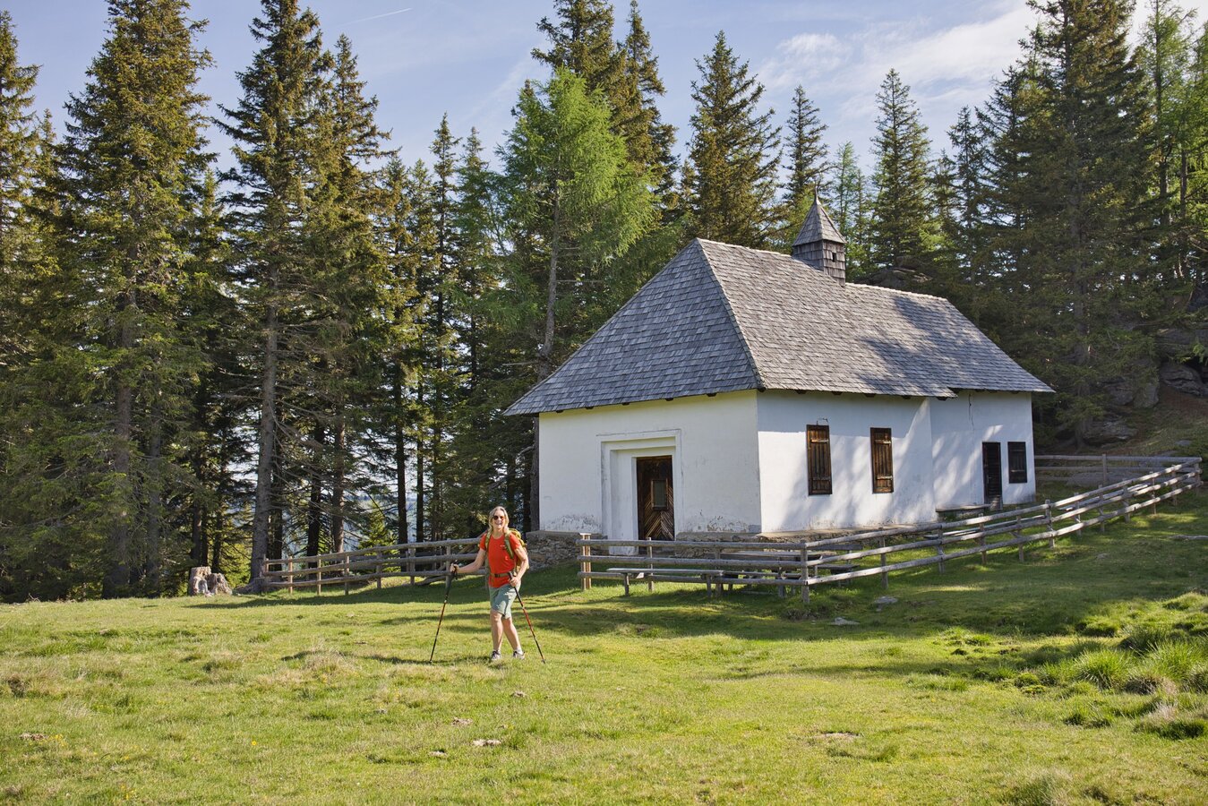
St. Bartholomäer Chapel | © Region Graz | Weges OG
8/11
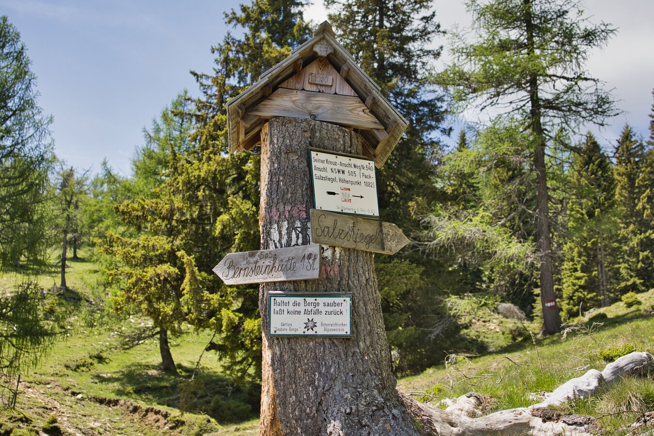
Trail sign on Hirschegger Alm | © Region Graz | Weges OG
9/11
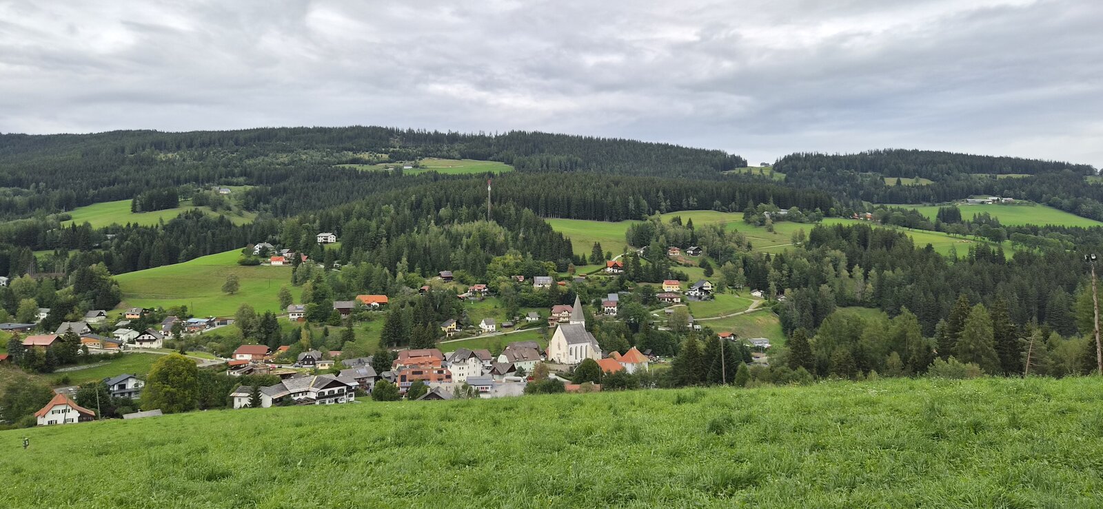
View of Hirschegg | © Region Graz | Birgit Oberleiter
10/11
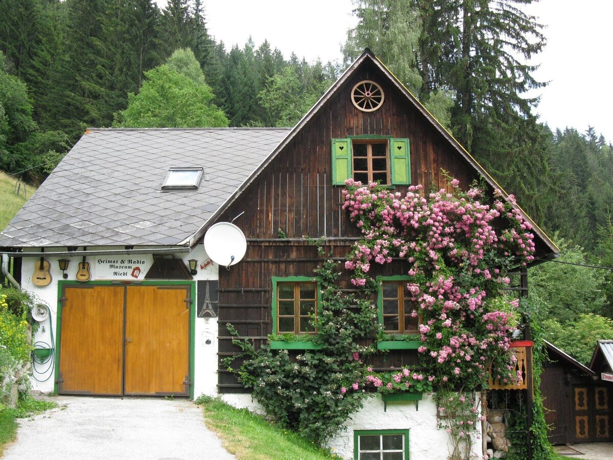
Radiomuseum Hirschegg | © Gemeinde Hirschegg-Pack | Gemeinde Hirschegg-Pack
11/11

What the weather will be like Weißkirchen in Steiermark (687m)
Today, 26.10.2026
Dry and partly sunny throughout the day, with cloudy periods from time to time.Morning

1°C
sr.Regenwahrscheinlichkeit
10%
sr.Windstärke
5 km/h
Noon
10°C
sr.Regenwahrscheinlichkeit
5%
sr.Windstärke
10 km/h
Night
4°C
sr.Regenwahrscheinlichkeit
0%
sr.Windstärke
5 km/h
Tomorrow, 27.10.2026
Early clouds will clear to leave the region with a dry and sunny day.Morning
-1°C
sr.Regenwahrscheinlichkeit
0%
sr.Windstärke
0 km/h
Noon

10°C
sr.Regenwahrscheinlichkeit
5%
sr.Windstärke
5 km/h
Night

5°C
sr.Regenwahrscheinlichkeit
0%
sr.Windstärke
0 km/h
Forecast
28.10.2026
1°C
12°C
29.10.2026
3°C
12°C
30.10.2026
1°C
12°C

