


Rappoldkogel Summit Hike: From Salzstiegl to Altes Almhaus
Characteristics
SkillThe tour in numbers
Level of difficulty
medium
Route
12,0 km
Time
4:00 h
Uphill
500 hm
Downhill
500 hm
Highest point
1928 m
An enjoyable hike to Rappoldkogel at 1,928 m. The summit can be reached in around an hour and rewards hikers with wide views across the Lipizzanerheimat and Murtal.
The gently rolling alpine landscapes of the Lipizzanerheimat and Steirische Rucksackdörfer are ideal for hiking and relaxation. Alpine huts and mountain inns serve traditional home-style cooking and regional specialities. Active alpine farming remains an important part of the landscape and local life.
Important information: During construction work at the Stubalm Wind Farm, individual trail sections may be temporarily rerouted depending on the progress of the work. Please check the latest hiking information before setting out.
Best season
January
February
March
April
May
June
July
August
September
October
November
December
More information
Car: Take the A2 motorway to the Modriach exit. Continue on the Modriach regional road towards Hirschegg, through Hirschegg and on to Salzstiegl.
The hike starts at the Salzstieglhaus at around 1,543 m above sea level. Pass the building and follow long-distance trail 505 towards Altes Almhaus. After about 500 m, you reach a pasture fence with a hiker’s passage. Turn left onto trail 505B towards Rappold.
The trail initially crosses an alpine meadow, then becomes steeper and rockier on the approximately 1.5 km climb to the summit. Along the way, you pass striking rock formations known as the Öfen. After just over an hour, you reach the Rappold summit cross at 1,928 m above sea level.
For the descent, follow the trail towards Altes Almhaus. The first section is steeper and rocky, but soon becomes gentler as it leads through alpine woodland to the trail junction at Gerti-Türl. Follow trail 505 straight ahead to Altes Almhaus. The route can be extended via Gerti-Türl towards Großebenhütte and then on to Altes Almhaus.
The return follows the same route. The Rappoldkogel summit does not need to be crossed again. Instead, follow the Koralm Crystal Trail back to the Salzstieglhaus.
Experience sunrise on Rappold. From mid-June to mid-September, visit the summer pastures of the young Lipizzaner stallions near Altes Almhaus. The Steinerne Miarz at Wölkerkogel is also worth seeing. In June and July, the alpine meadows are covered in blooming alpine roses.
Take the shared taxi flux from Köflach railway station to Salzstiegl.
Weitere Informationen: www.flux.at
Weitere Informationen: www.flux.at
Sufficient parking is available at the Alpengasthaus Salzstieglhaus.
Free hiking map and information:
Graz Region Tourist Board
Herrengasse 16, 8010 Graz
T: +43 316 80750, info@regiongraz.at
Graz Region Information Office Lipizzanerheimat
Rathausplatz 2
8580 Köflach, Austria
T: +43 3144 727770, lipizzanerheimat@regiongraz.at
Map & downloads
Gallery
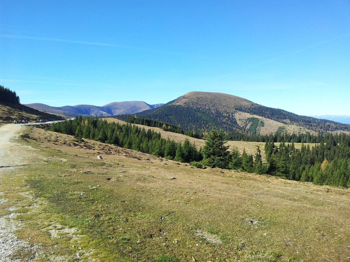
Blick auf den Rappold | © Region Graz | Herwig Fetka
1/8
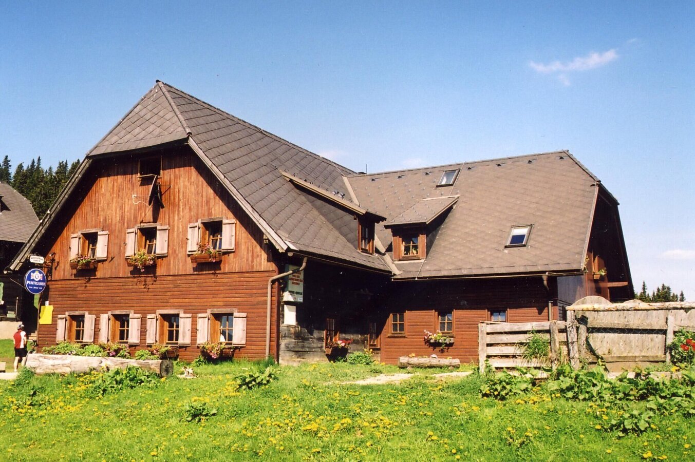
Salzstieglhaus Sommer | © ÖAV Voitsberg | Hans Fink
2/8
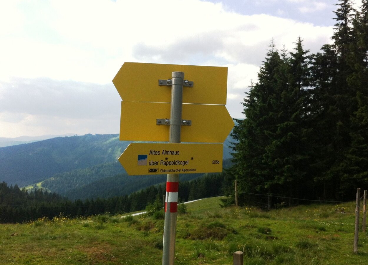
Wegweiser auf den Rappold | © Region Graz | TV Lipizzanerheimat/EU
3/8
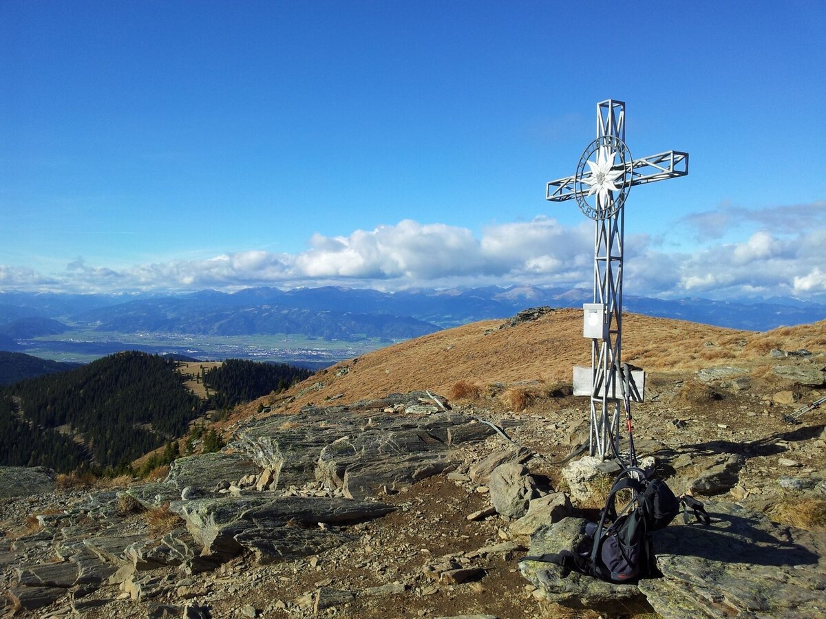
Gipfelkreuz Rappold | © Region Graz | Herwig Fetka
4/8
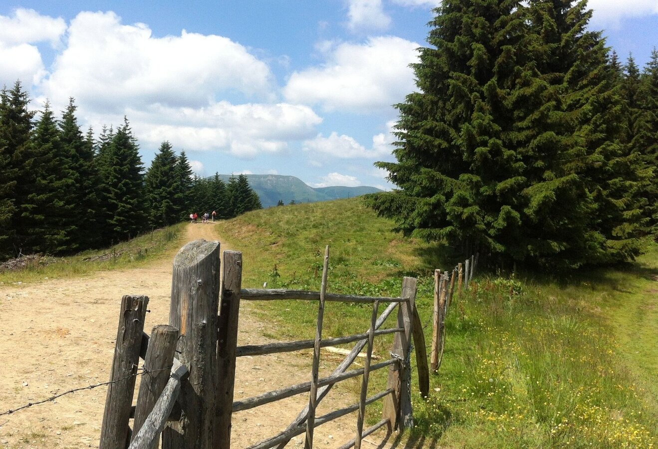
Gerti-Thörl | © Region Graz
5/8
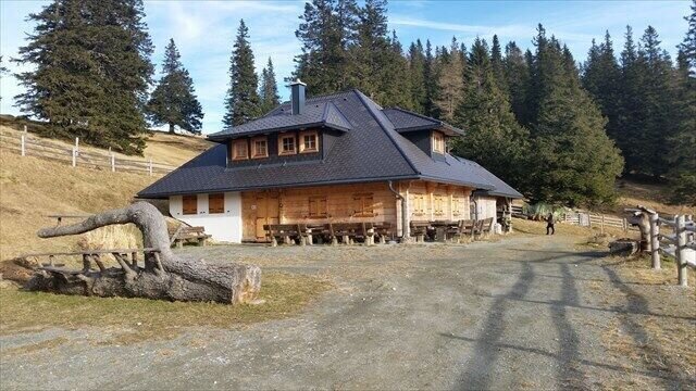
Großebenhütte | © unbekannt | unbekannt
6/8
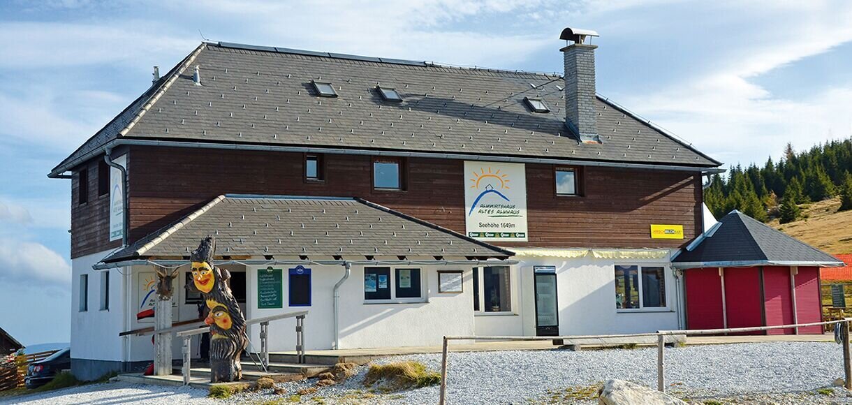
Altes Almhaus_Sommer | © www.altesalmhaus.at | Tourismusverband Lipizzanerheimat
7/8
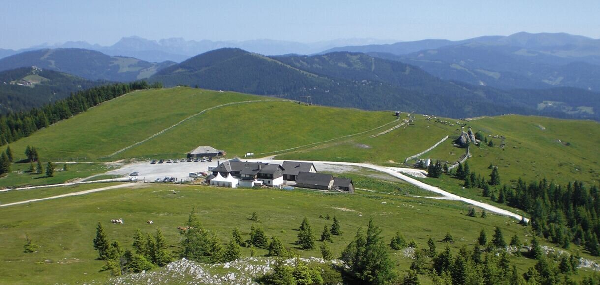
Altes Almhaus | © www.altesalmhaus.at | Tourismusverband Lipizzanerheimat
8/8

What the weather will be like Hirschegg-Pack (896m)
Today, 04.09.2026
Some clouds in the morning, lateron much sunshine and hardly any cloudsMorning

16°C
sr.Regenwahrscheinlichkeit
0%
sr.Windstärke
5 km/h
Noon

26°C
sr.Regenwahrscheinlichkeit
0%
sr.Windstärke
10 km/h
Night
21°C
sr.Regenwahrscheinlichkeit
0%
sr.Windstärke
5 km/h
Tomorrow, 05.09.2026
Fair in the early morning. Later thunderstorms, which will die away in the afternoon.Morning
18°C
sr.Regenwahrscheinlichkeit
0%
sr.Windstärke
5 km/h
Noon

22°C
sr.Regenwahrscheinlichkeit
45%
sr.Windstärke
10 km/h
Night

17°C
sr.Regenwahrscheinlichkeit
55%
sr.Windstärke
5 km/h
Forecast
06.09.2026
12°C
23°C
07.09.2026
12°C
24°C
08.09.2026

14°C
25°C

