


Florianiberg and Gedersberg
Accessible by public transport- Public bus (within 15 minutes walking distance from starting point)
Characteristics
SkillThe tour in numbers
Level of difficulty
medium
Route
13,0 km
Time
4:00 h
Uphill
300 hm
Downhill
300 hm
Highest point
574 m
Prehistoric traces, vineyards and an unexpected ski slope, with views across the Graz Basin and far beyond.
The route starts at Straßganger Bad and first leads to the pilgrimage church of Maria im Elend. Through the forest, it continues to the legendary Florianikirchlein and up to Florianiberg, where archaeological finds indicate human settlement as early as around 4,000 years ago. From here, there are wide views across the Graz Basin.
The route continues through forests and vineyards towards Buchkogel and the viewing platform, offering views across western Styria and towards the Gleinalm. The return route follows the Mariazellerweg to Seiersberg-Pirka and then crosses an unexpected ski slope in Gedersberg before returning to the starting point.
Best season
January
February
March
April
May
June
July
August
September
October
November
December
More information
Parking is available at Straßganger Bad
Route description EN
From Straßganger Bad, the route first leads to the Maria im Elend pilgrimage church and continues through the forest to Florianikirchlein. It then crosses Florianiberg towards Buchkogel.
The trail continues through forests and vineyards to Kehlberg/Orthacker and the West viewing platform. From there, follow the Mariazellerweg downhill towards Seiersberg-Pirka.
The return route follows municipal hiking trails 11, 01 and 02, crossing the unexpected ski slope in Gedersberg to Viktor-von-Geramb-Straße. Continue via Erzherzog-Johann-Straße to the main road and the bus stop.
Danger of ice and slipping in winter! (Grödeln/spikes/sticks)
Hiking or mountain boots, hiking poles if needed
Daypack with rain cover
Water bottle, lunch box and snacks
Light rain poncho and/or umbrella
Sun protection
First-aid kit
Mobile phone/GPS device
Hiking or mountain boots, hiking poles if needed
Daypack with rain cover
Water bottle, lunch box and snacks
Light rain poncho and/or umbrella
Sun protection
First-aid kit
Mobile phone/GPS device
Refreshment stops are available at Luderbauer on Florianiberg and Orthacker on Buchkogel. Highlights include Maria im Elend, Florianikirchlein, the West viewing platform and Rudolfswarte on Buchkogel. Straßgang natural swimming centre is ideal for a swim before or after the hike.
Getting there: Take city bus line 32 to Bad Straßgang stop
Return: Take city bus line 32 from Seiersberg
Return: Take city bus line 32 from Seiersberg
Free hiking maps and information:
Graz Region Tourist Board
Herrengasse 16
8010 Graz
T: +43 316 80750, info@regiongraz.at
Graz Region Tourist Board
Herrengasse 16
8010 Graz
T: +43 316 80750, info@regiongraz.at
Map & downloads
Gallery
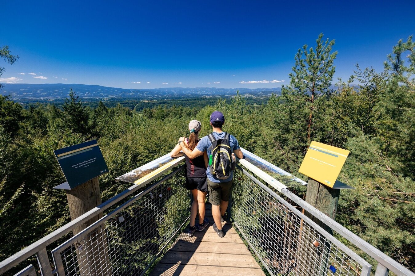
Aussichtsplattform West | © Region Graz | Harry Schiffer
1/4
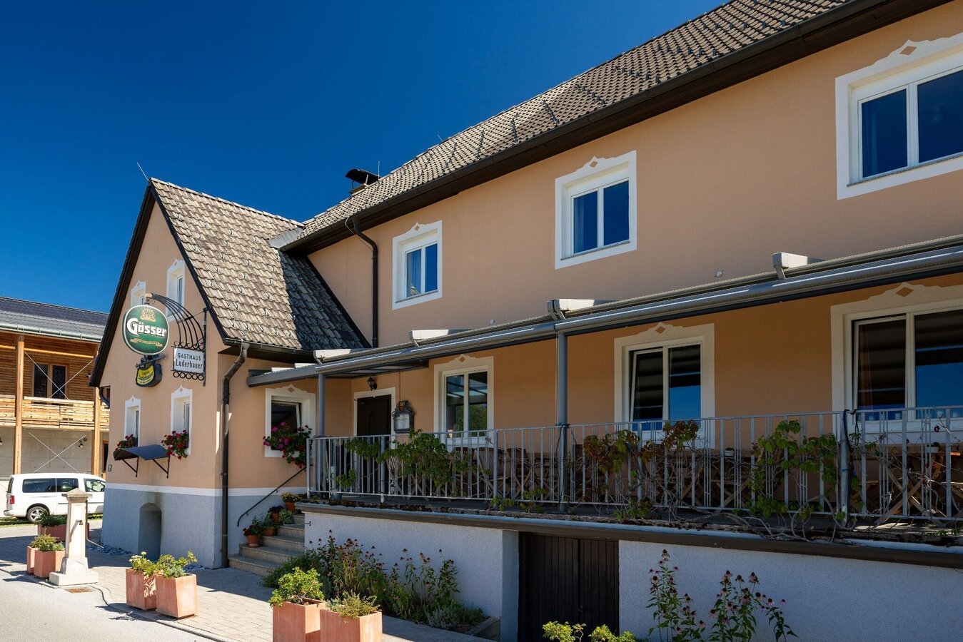
Gasthaus Luderbauer, Gedersberg | © Region Graz | Harry Schiffer
2/4
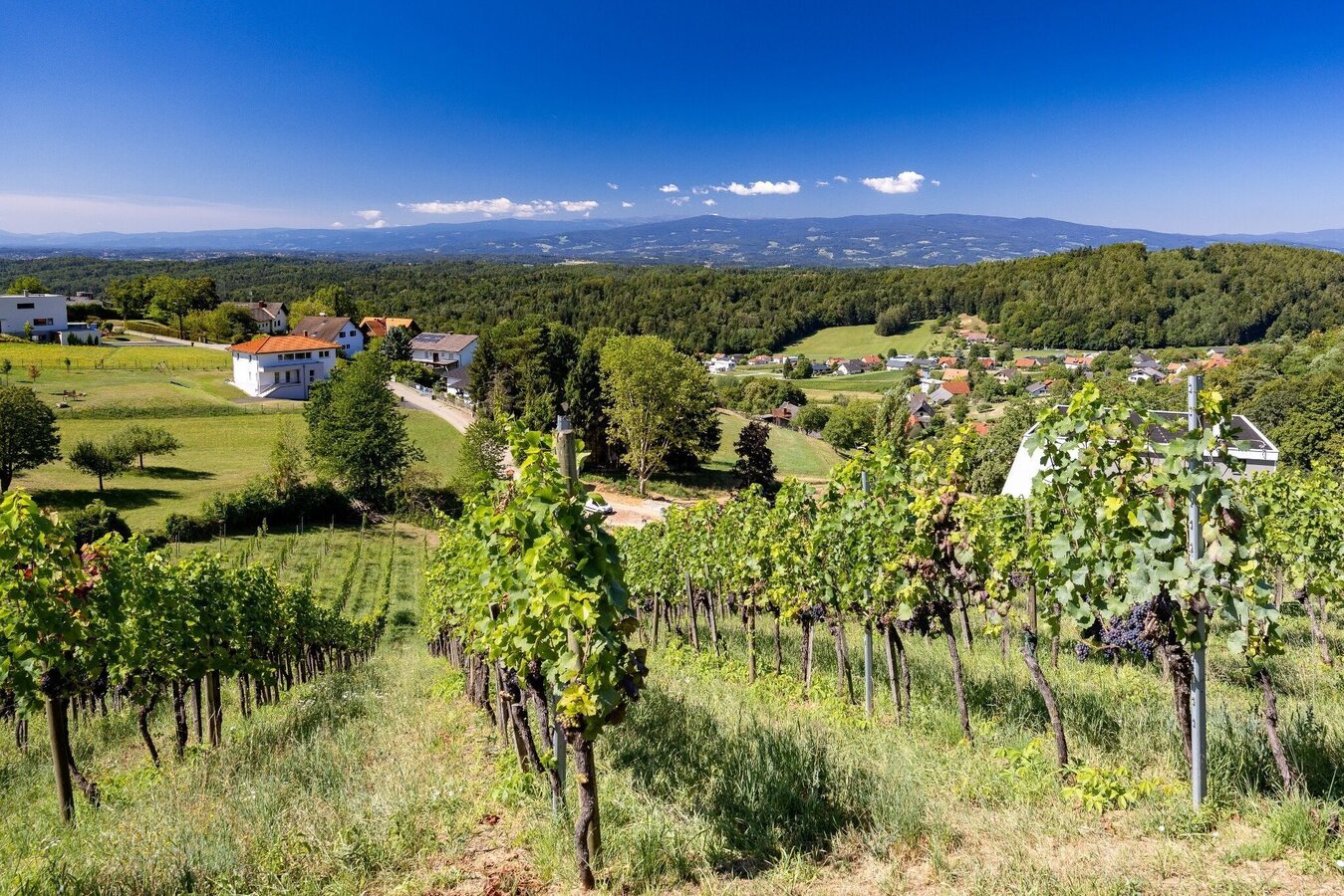
Weingärten in Seiersberg, Gedersberg | © Region Graz | Harry Schiffer
3/4
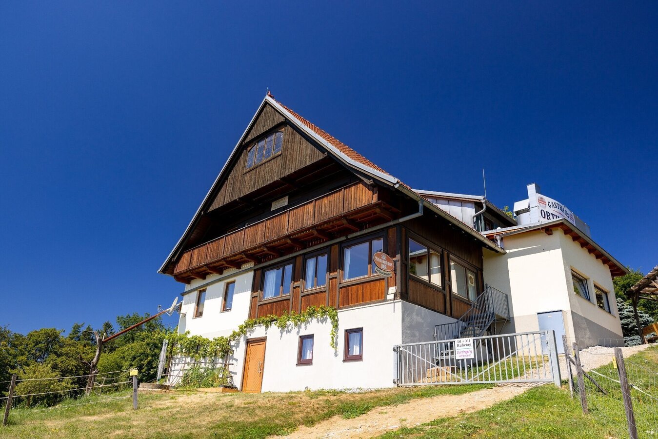
Gasthaus Orthacker, Kehlberg, Buchkogel | © Region Graz | Harry Schiffer
4/4

What the weather will be like Graz (350m)
Today, 16.10.2026
Early clouds will clear to leave the region with a dry and sunny day.Morning

8°C
sr.Regenwahrscheinlichkeit
0%
sr.Windstärke
5 km/h
Noon
17°C
sr.Regenwahrscheinlichkeit
0%
sr.Windstärke
5 km/h
Night

11°C
sr.Regenwahrscheinlichkeit
0%
sr.Windstärke
5 km/h
Tomorrow, 17.10.2026
Dry and partly sunny throughout the day, with cloudy periods from time to time.Morning
6°C
sr.Regenwahrscheinlichkeit
0%
sr.Windstärke
0 km/h
Noon

17°C
sr.Regenwahrscheinlichkeit
0%
sr.Windstärke
5 km/h
Night
12°C
sr.Regenwahrscheinlichkeit
0%
sr.Windstärke
5 km/h
Forecast
18.10.2026
8°C
18°C
19.10.2026
7°C
17°C
20.10.2026
8°C
15°C

