


Hebalm Lake Circuit
Characteristics
SkillThe tour in numbers
Level of difficulty
easy
Route
4,0 km
Time
1:30 h
Uphill
120 hm
Downhill
120 hm
Highest point
1415 m
The short circular trail at Hebalm leads through peaceful woodland and open landscapes to Hebalm Lake. With little elevation gain, the 4 km route is well suited to families.
The Hebalm Lake Circuit at around 1,400 m above sea level passes through peaceful woodland and open landscapes to Hebalm Lake. Part of the route follows the Austrian North-South Long-Distance Trail 05 before joining Trail 51 towards the Forest Cathedral and Hebalm Lake. After a break by the lake, the marked trail leads back to the starting point. With only a small amount of elevation gain, the 4 km circuit is also suitable for families with children.
Best season
January
February
March
April
May
June
July
August
September
October
November
December
More information
Take the A2 motorway to the Packsattel exit. Continue towards Hebalm and follow the signs.
The route starts at the parking area opposite Fichtenhof & Gifthittn. Follow long-distance trail 505 towards Weinebene. The trail crosses the large parking area and continues along a forest road through the woods to a clearing. After a short uphill section through the forest, reach another clearing and leave trail 505 at the edge of the forest. Follow trail 51 towards the former "Dom des Waldes" and Hebalm Lake.
Passing the remaining gateways of the former "Dom des Waldes", continue to Hebalm Lake, an ideal place for a break. The return follows the marked trail towards Hebalm Ferienwohnungen. At the country road, turn left and follow the parking area parallel to the road back to the starting point.
Hiking or mountain boots, hiking poles if needed
Daypack with rain cover
Water bottle, lunch box and snacks
Light rain poncho and/or umbrella
Sun protection
First-aid kit
Mobile phone/GPS device
Daypack with rain cover
Water bottle, lunch box and snacks
Light rain poncho and/or umbrella
Sun protection
First-aid kit
Mobile phone/GPS device
In midsummer, Hebalm Lake is ideal for a refreshing dip. In autumn, the area is popular for mushroom foraging. The Hochmoor See-Eben is also worth a visit.
Free hiking map and information:
Graz Region Tourist Board
Herrengasse 16, 8010 Graz
T: +43 316 80750, info@regiongraz.at
Graz Region Information Office Lipizzanerheimat
Rathausplatz 2
8580 Köflach, Austria
T: +43 3144 727770, lipizzanerheimat@regiongraz.at
Map & downloads
Gallery
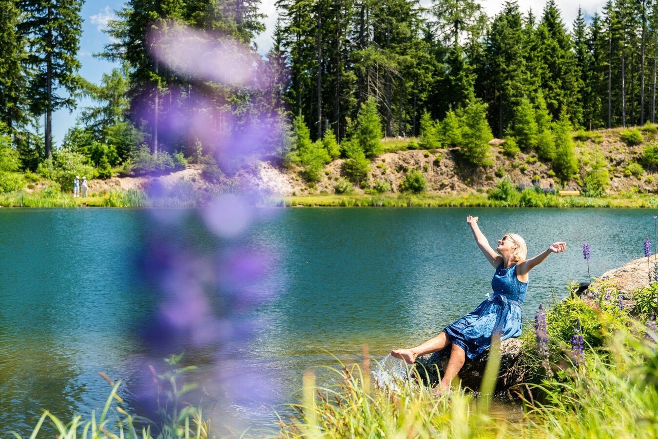
Junge blonde Frau am Ufer des Hebalmsees | © Erlebnisregion Graz | Mias Photoart
1/7

Hebalm Lake | © Region Graz | Heinz Kaltschmidt
2/7
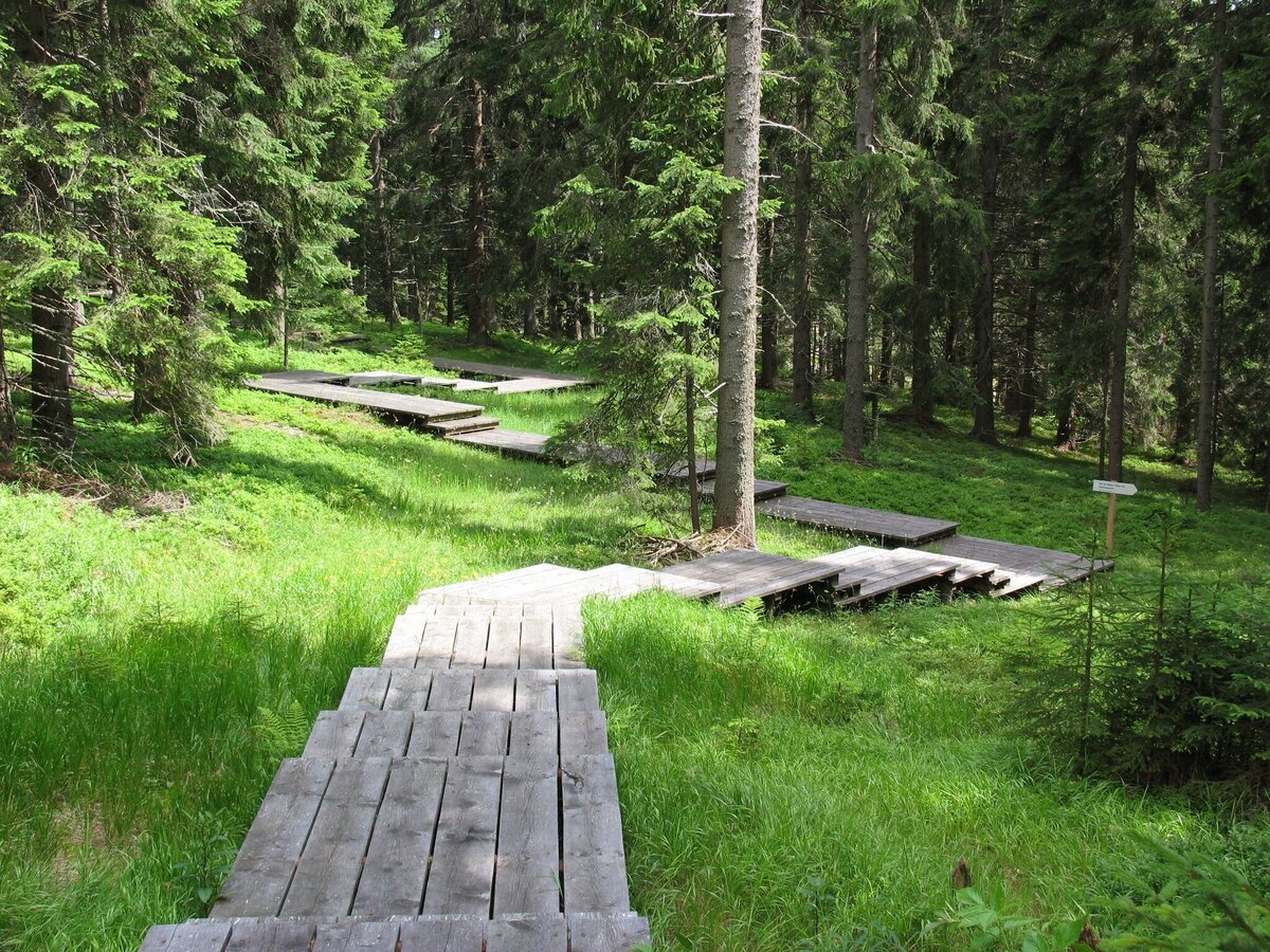
Dom des Waldes | © Werbeagentur SMAC | Sven Raters
3/7
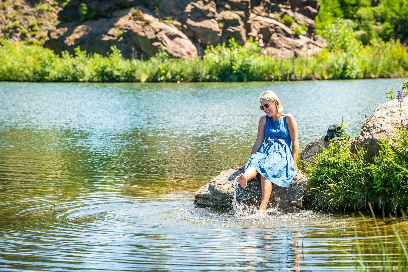
Junge blonde Frau am Ufer des Hebalmsees | © Erlebnisregion Graz | Mias Photoart
4/7

Seestüberl auf der Hebalm Terrace | © Seestüberl auf der Hebalm | Seestüberl auf der Hebalm
5/7
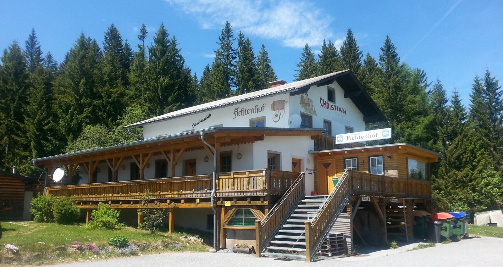
Fichtenhof_Gifthitt#n | © Region Graz | Familie Lunglmeir/Facebook
6/7
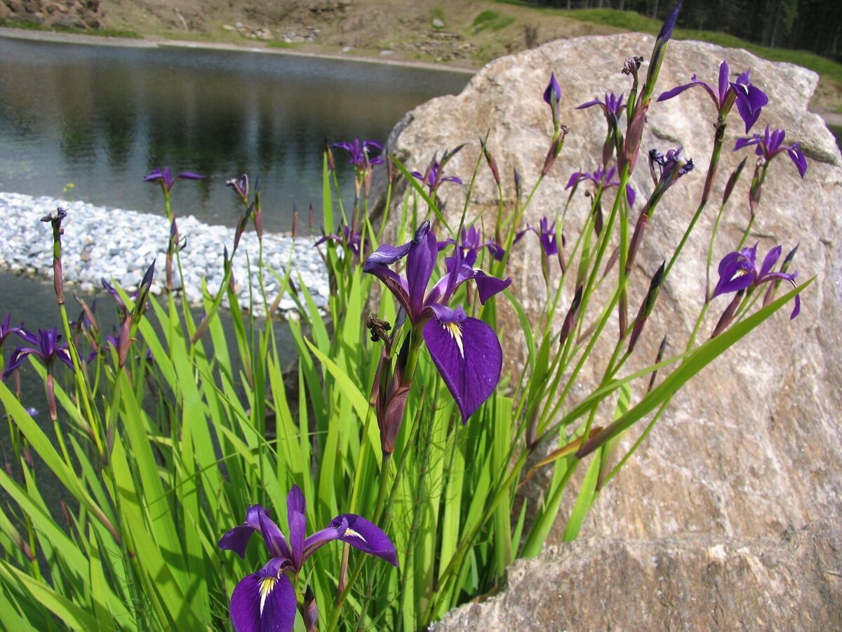
Hebalmsee_Flora | © Smac GmbH | Smac GmbH
7/7

What the weather will be like Hirschegg-Pack (896m)
Today, 28.09.2026
Some clouds in the morning, lateron much sunshine and hardly any cloudsMorning

9°C
sr.Regenwahrscheinlichkeit
0%
sr.Windstärke
0 km/h
Noon

18°C
sr.Regenwahrscheinlichkeit
0%
sr.Windstärke
10 km/h
Night
12°C
sr.Regenwahrscheinlichkeit
0%
sr.Windstärke
5 km/h
Tomorrow, 29.09.2026
Some clouds in the morning, lateron much sunshine and hardly any cloudsMorning
9°C
sr.Regenwahrscheinlichkeit
0%
sr.Windstärke
5 km/h
Noon
18°C
sr.Regenwahrscheinlichkeit
0%
sr.Windstärke
10 km/h
Night
11°C
sr.Regenwahrscheinlichkeit
0%
sr.Windstärke
5 km/h
Forecast
30.09.2026
7°C
19°C
01.10.2026
8°C
19°C
02.10.2026
8°C
18°C

