


Schöckl – Two Summits
Accessible by public transport- Public bus (within 15 minutes walking distance from starting point)
Characteristics
SkillThe tour in numbers
Level of difficulty
medium
Route
10,0 km
Time
4:00 h
Uphill
670 hm
Downhill
670 hm
Highest point
1443 m
The Schöckl, Graz’s local mountain, impresses with its distinctive location, panoramic views and varied trails. A popular destination for hikers, families and nature lovers near Graz.
Best season
January
February
March
April
May
June
July
August
September
October
November
December
More information
Car: From Graz via Mariatrost and the B70 to the Faßlberg junction. Continue via Grazer Straße to St. Radegund and the Schöckl cable car valley station. Alternatively, take the route via Graz Andritz, Rinneggerstraße to Rinnegg and continue to the valley station.
Paid parking is available at the Schöckl cable car valley station and at the designated parking area opposite.
Paid parking is available at the Schöckl cable car valley station and at the designated parking area opposite.
Starting at St. Radegund bei Graz, cable car valley station, the standard hiking trail no. 21, also part of the Mariazell Trail 06 / GUW, leads uphill through the forest on the right side of the road towards Schöcklstraße. After a short section along the road, the route crosses over, passes a barrier and continues on the marked hiking trail. The trail climbs steadily, crosses the toll road and continues beneath the cable car towards Stubenberghaus. Below the cable car, the path leaves the forest and reaches Halterhütte.
From here, several options are available: turning left uphill leads via the summer toboggan run to the Alpine Inn and Stubenberghaus at the Schöckl cable car mountain station. Continuing right leads to the eastern summit, while the trail left from Halterhütte leads to the western summit. After enjoying the summit views, the descent is possible via the standard trail, via the eastern slope trail no. 22 and Schöcklkreuz, or comfortably by cable car back to the valley.
The trails on the Schöckl are well signposted and mostly easy to walk. Some sections are steep, especially below the lift line and on the northern and eastern slopes with steep ascents and descents.
Even with the Schöckl cable car providing easy access, suitable mountain equipment is important: hiking boots, backpack, rain, sun and wind protection, as well as enough water. In the colder months, traction aids or crampons and hiking poles are recommended.
The Niedere Schöckl (1342 m) is a great tip away from the main trails. It can be reached via Westkreuz and Schöcklsattel. The return route can be planned via the traditional and energy self-sufficient Johann-Waller-Hütte back to the standard trail. The connection to trail no. 21 is not signposted.
Bus: Verbund Linien Nr. 250 from Graz to St. Radegund
Free hiking map and information:
Graz Region Tourist Board
Herrengasse 16, 8010 Graz
T +43 316 80750
info@regiongraz.at
Map & downloads
Gallery
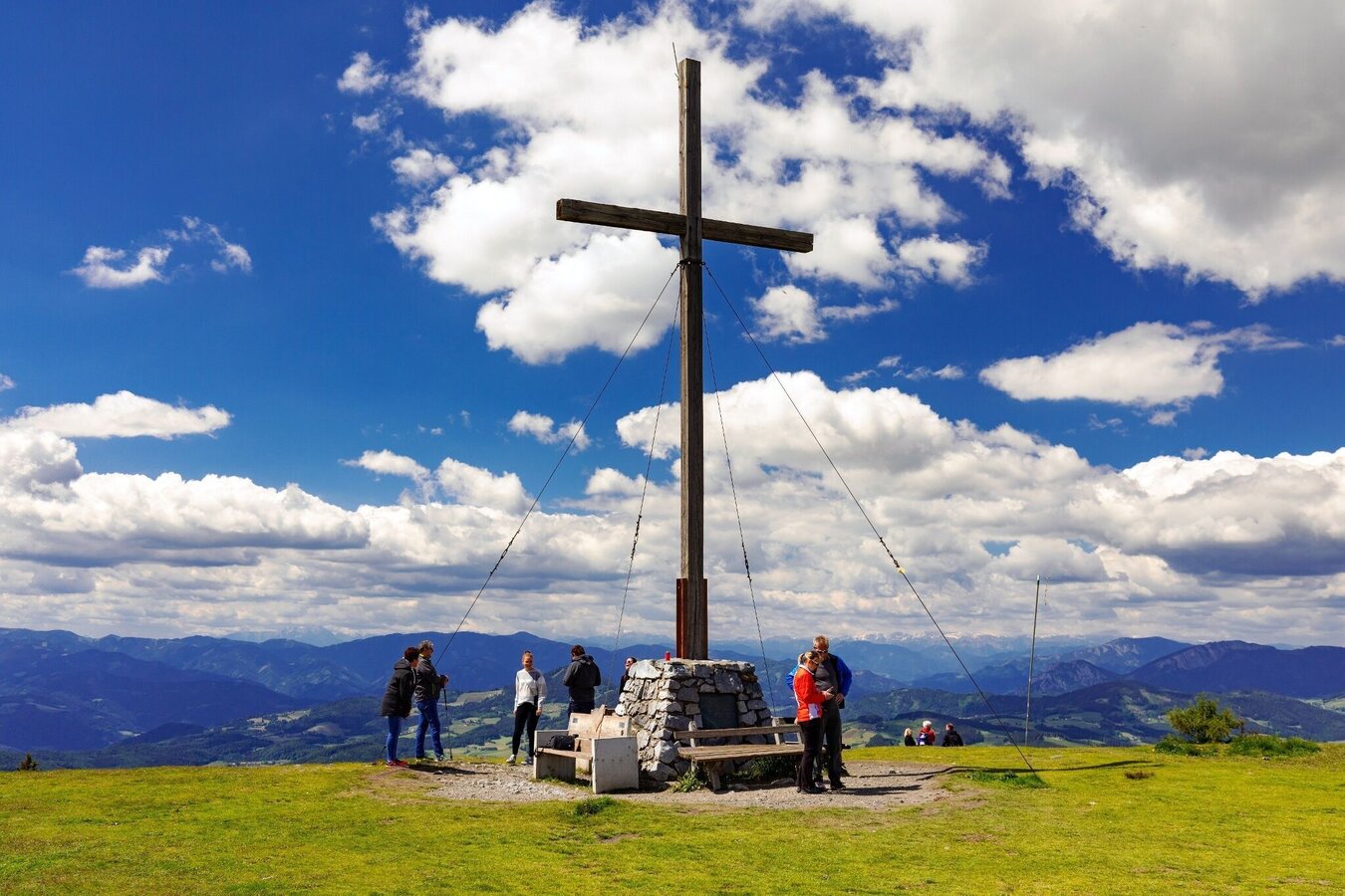
Schöckl western summit | © Region Graz | Harry Schiffer
1/10
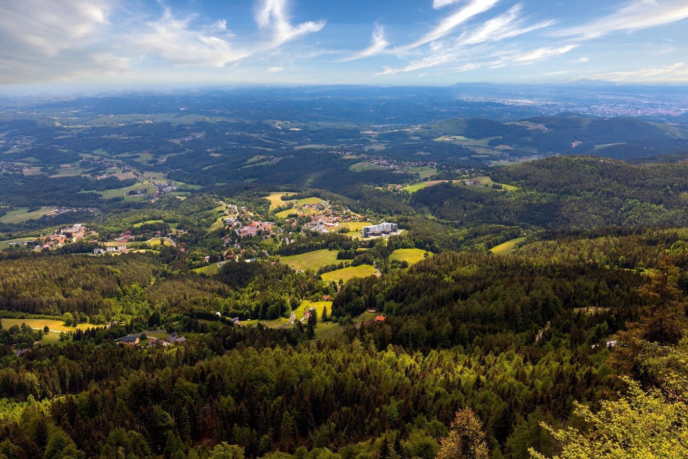
Blick von den Hängen des Schöckls auf Sankt Radegund | © Region Graz | Harry Schiffer
2/10
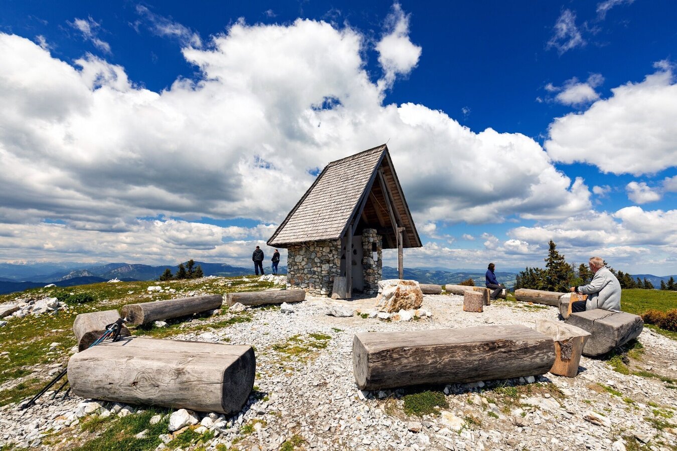
Schöckl - Johannes chapel | © Region Graz | Harry Schiffer
3/10

Schöckl accessible trail | © Region Graz | Christoph Trois
4/10

Schöckl cable car | © Region Graz | Tom Lamm
5/10
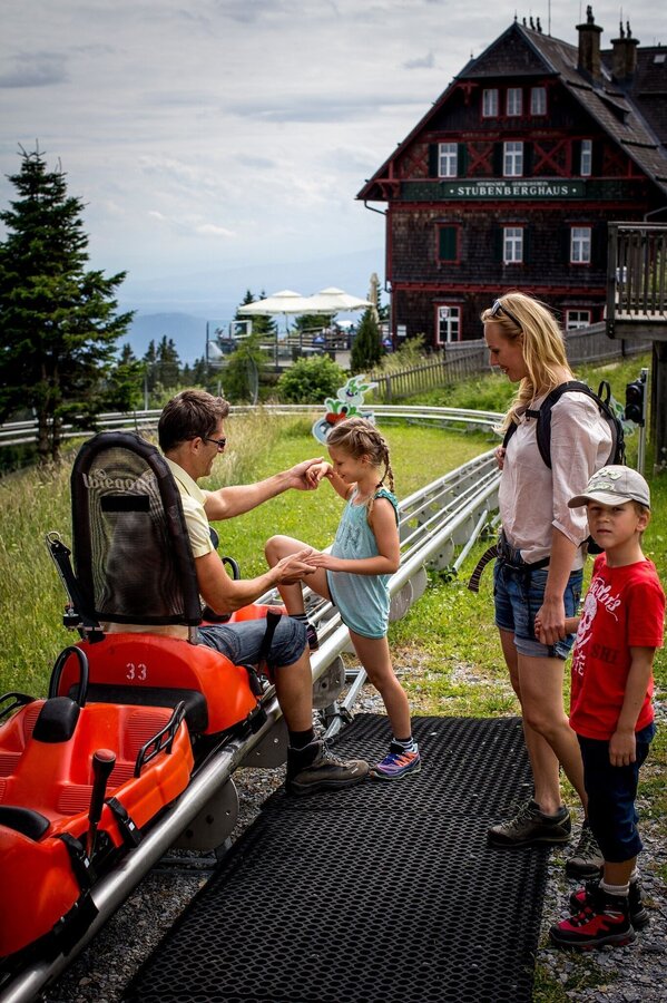
Hexenexpress Schöckl | © Region Graz | Tom Lamm
6/10

Stubenberghaus at Schöckl | © Region Graz | Kurkommission St.Radegund
7/10

Halterhütte Schöckl | © Region Graz | Kurkommission St. Radegund
8/10

Johann Waller Hütte | © Region Graz | Johann Waller Hütte Schöckl
9/10

Alpengasthof am Schöckl | © Region Graz
10/10

What the weather will be like St. Radegund bei Graz (722m)
Today, 23.10.2026
The day starts sunny, but will be partly cloudy in the afternoon.Morning

3°C
sr.Regenwahrscheinlichkeit
0%
sr.Windstärke
5 km/h
Noon

10°C
sr.Regenwahrscheinlichkeit
0%
sr.Windstärke
10 km/h
Night

7°C
sr.Regenwahrscheinlichkeit
0%
sr.Windstärke
5 km/h
Tomorrow, 24.10.2026
Heavy rain in the morning, drying up in the afternoon.Morning

5°C
sr.Regenwahrscheinlichkeit
85%
sr.Windstärke
5 km/h
Noon

7°C
sr.Regenwahrscheinlichkeit
60%
sr.Windstärke
5 km/h
Night

4°C
sr.Regenwahrscheinlichkeit
20%
sr.Windstärke
5 km/h
Forecast
25.10.2026
2°C
10°C
26.10.2026
5°C
13°C
27.10.2026
4°C
13°C

