


Grazer Bergland Hiking Trail
Stage Hiking in Styria
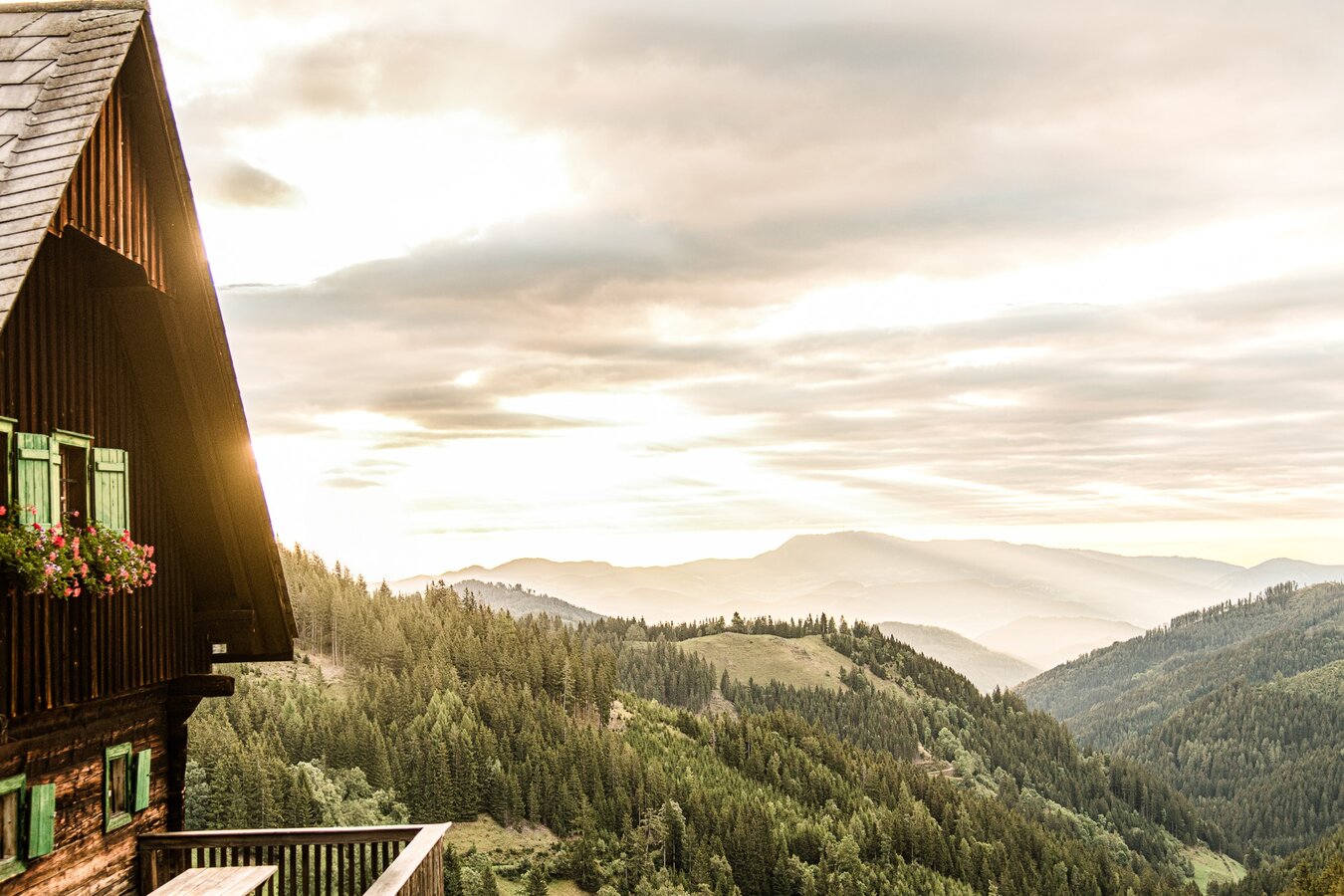
North of Graz, the Grazer Bergland unfolds as a distinctive landscape of its own. Forests, scenic ridgelines and lively market towns shape the region. The new stage hiking trail connects nature and culture along a route that brings movement and quality of life into balance.
Six stages cover 103 kilometres and around 4,300 metres of elevation gain, linking the municipalities of Peggau, Frohnleiten, Übelbach, Deutschfeistritz, Gratwein-Straßengel and Gratkorn.
Thanks to convenient connections by train, bus and the flux shared taxi, the trail can be planned with flexibility — as a multi-day hiking experience or as individual day tours.

New Stage Hiking Trail
Designed as a Circular Route
The Grazer Bergland Hiking Trail brings together existing routes to form a continuous circular trail. Forests, ridgelines and town centres come into dialogue — step by step.
Since October 2025, this six-day route has stood for regional cooperation and quality. Six municipalities combine their natural and cultural characteristics along one shared trail. In doing so, the Grazer Bergland establishes itself as an independent hiking region in Styria — close to the city, yet distinct in character.
4,300 metres of ascent across six stages.
Almost half the height of Mount Everest.


Grazer Bergland Hiking Trail Map
Well Prepared on the Trail
The printed hiking map includes the full route, elevation profiles and practical information for planning your stages.
Six Municipalities, One Experience
Diversity Along the Route
The stage hiking trail connects the municipalities of Peggau, Frohnleiten, Übelbach, Deutschfeistritz, Gratwein-Straßengel and Gratkorn. Each community contributes its own topography, history and atmosphere — from distinctive peaks to lively market squares.
The trail leads not only through landscapes, but into the towns themselves. Historic buildings, cultural initiatives and regional cuisine shape the experience just as much as wide views and quiet forest passages. The result is a route that brings together movement and encounter.
Six Stages, Clearly Structured
Planned Day by Day
Six stages between 14 and 20 kilometres divide the Grazer Bergland Hiking Trail into manageable daily sections. On average, around 500 metres of ascent are covered per day, with the most demanding stage exceeding 1,000 metres.
Its circular layout allows for different approaches: individual day hikes, selected weekend stages or the full route completed over several days. Start and end points are easily accessible, making flexible entry and exit straightforward.
Points of Interest Along the Trail
Discover Culture and Nature
The Grazer Bergland Hiking Trail links scenic heights with culturally significant sites. Between stages and town centres, new perspectives unfold — from historic buildings to striking natural landscapes.

Frohnleiten
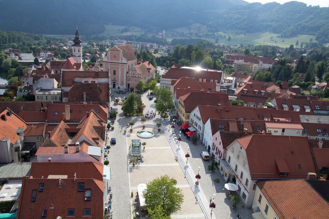
Located directly on the River Mur, the pedestrianised main square opens with its continuous row of houses and distinctive skyline.
Ice cream in hand, a seat in the shade — cafés, flowers and small natural gardens bring a sense of summer lightness to the centre.


Lurgrotte Peggau
Austria’s largest active water cave lies directly along the trail. Water, rock and time have shaped an impressive underground world here over thousands of years.
A cool change of perspective — through vast halls, narrow passages and subterranean chambers.


Austrian Open-Air Museum Stübing
Historic farmhouses from all of Austria’s federal provinces are set within an expansive cultural landscape. Farmsteads, barns and workshops illustrate how people in Austria have built, worked and lived over the centuries.


Cistercian Monastery Rein
Founded in 1129, the Cistercian monastery has shaped the region for centuries and is considered the oldest continuously operating monastery of the order in the world. Baroque architecture, quiet courtyards and its elevated setting lend the site a distinctive sense of calm.
A cultural landmark along the trail — rooted in history, yet very much alive in the present.


Pilgrimage Church Maria Straßengel
The Gothic pilgrimage church, with its 76-metre tower is among the most distinctive landmarks of the region. Since the 14th century, it has been a destination for pilgrims and a visible point of orientation in the landscape.
From here, wide views open across the surrounding countryside.


Alpengarten Rannach
At around 1,000 metres above sea level, alpine plants from various mountain regions grow here. The garden, designed in harmony with nature, combines botanical diversity with wide views.
A distinctive stop along the trail — diverse, informative and closely connected to the surrounding landscape.


More Tours in the Grazer Bergland
Additional hikes, summit routes and circular trails complement the Grazer Bergland Hiking Trail. The tour portal provides all the information needed for planning.


