


Kreischberg circular tour
Characteristics
SkillThe tour in numbers
Level of difficulty
medium
Route
6,9 km
Time
2:30 h
Uphill
312 hm
Downhill
309 hm
Highest point
2046 m
Family-friendly hiking option above the tree line to the summit and back.
Here, young and old get their money's worth! Experience the World Cup mountain in summer and discover magnificent mountain panoramas with many viewpoints!
Best season
January
February
March
April
May
June
July
August
September
October
November
December
More information
From D, NL, B, F: Via Munich, Salzburg, Tauernautobahn to St. Michael/Lungau (or Radstätter Tauernpaß), turn off to Tamsweg - continue towards Murau.
Public parking is available directly at the Kreischberg valley station.
From H: Via St.Gotthard, Graz - Packautobahn (exit Twimberg) - Judenburg - Scheifling - Murau - Kreischberg.
From CH: Via Arlberg, Innsbruck, Bischofshofen, Tauernautobahn.
From I: Via Tarvis, Villach, St. Veit/Glan, Scheifling, Murau, Kreischberg.
By car from Vienna: Via Semmering, Bruck/Mur, Judenburg, Scheifling, Murau, Kreischberg.
Public parking is available directly at the Kreischberg valley station.
Starting from the cable car mountain station, follow the signs further to the Esebeckhütte (not managed). From there you walk uphill through one of the most beautiful stone pine forests in Central Europe to the Kreischberg summit. From the summit you walk along the ridge to the top station of the 10-seater gondola lift and along the signposted mountain trail back to the starting point of the new cable car mountain station at the Kreischbergwirt.
- Touren sorgfältig planen & flexibel bleiben.
- Die richtige Ausrüstung mitnehmen.
- Aktuelle Wetterinformationen einholen.
- Bei Schlechtwetter die Tour abbrechen.
- Im Falle eines Unfalls, Ruhe bewahren. Notruf Bergrettung: 140
- Abfälle ins Tal mitnehmen.
- Ruhiges Verhalten mit Tieren auf den Almen.
- Hunde unbedingt an der Leine führen.
- Good footwear (sturdy high shoes with non-slip soles), rain, cold and sun protection, sufficient drinks, hiking map, emergency equipment (bandages, blister plasters, etc.).
- Proper backpack packing makes a lot of things easier: pack heavy things first. The water bottle should be stowed within easy reach in a side pocket. Items that are needed often, such as sunglasses, camera, hiking map, etc. belong on top.
With the BusBahnBim app from Verbundlinie, timetable information has never been easier: all bus, train and streetcar connections in Austria can be queried by entering locations and/or addresses, stops or important points. The app is available as a free app for smartphones (Android, iOS) - on Google Play and in the App Store.
ÖBB www.oebb.at | Verbundlinie Steiermark www.busbahnbim.at
The ideal time for this tour is from May to October. Information brochures are available at the various information offices.
Map & downloads
Gallery
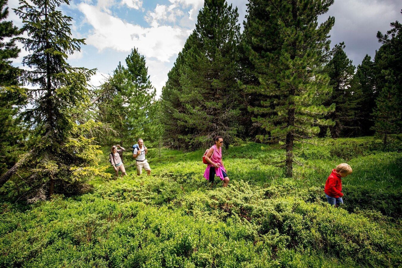
Zirbenwald am Kreischberg | © Tourismusverband Murau | Tom Lamm
1/3
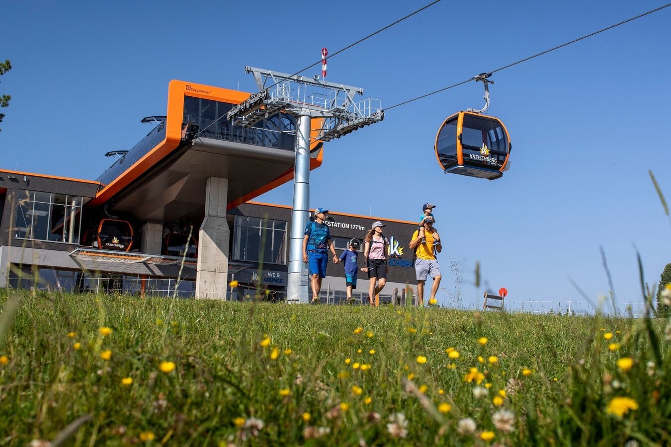
Sommerbahn Kreischberg | © Murtal Seilbahnen Betriebs GmbH | Tom Lamm
2/3
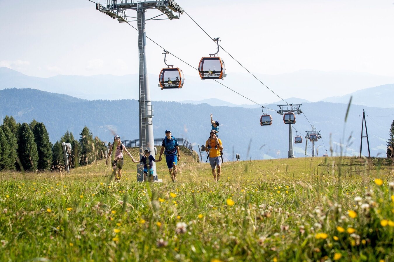
Wandern am Kreischberg | © Murtal Seilbahnen Betriebs GmbH | Tom Lamm
3/3

What the weather will be like St. Georgen am Kreischberg (851m)
Today, 15.10.2026
Dry and partly sunny throughout the day, with cloudy periods from time to time.Morning

5°C
sr.Regenwahrscheinlichkeit
0%
sr.Windstärke
0 km/h
Noon
17°C
sr.Regenwahrscheinlichkeit
0%
sr.Windstärke
5 km/h
Night

9°C
sr.Regenwahrscheinlichkeit
0%
sr.Windstärke
5 km/h
Tomorrow, 16.10.2026
Dry and sunny throughout the day with hardly any clouds.Morning

4°C
sr.Regenwahrscheinlichkeit
0%
sr.Windstärke
5 km/h
Noon
18°C
sr.Regenwahrscheinlichkeit
0%
sr.Windstärke
5 km/h
Night
8°C
sr.Regenwahrscheinlichkeit
0%
sr.Windstärke
5 km/h
Forecast
17.10.2026
2°C
17°C
18.10.2026
5°C
15°C
19.10.2026
5°C
16°C
