


Großlachtal
The tour in numbers
Level of difficulty
medium
Route
8,8 km
Time
2:16 h
Uphill
640 hm
Downhill
635 hm
Highest point
2221 m
A beautiful, panoramic ski route over the Großlachtal. With descent on the ski slope!
A ski route in the wonderful Lachtal ski area. Enjoy the peace, the beautiful view and the sporting activity in a natural environment. Please note the official avalanche warning level and the piste rules for the Lachtal ski area.
Best season
January
February
March
April
May
June
July
August
September
October
November
December
More information
From D, NL, B, F: Via Munich, Salzburg, Tauernautobahn to St. Michael/Lungau (or Radstätter Tauernpaß), turn off to Tamsweg - Murau, Lachtal.
You have parking space at the so-called Reifboden. You drive along the road to the left of the Lachtalhaus towards the Kleinlachtalhütte. After a short drive you will come to a hill where the frost is located.
From H: Via St. Gotthard, Graz - Packautobahn (Twimberg exit) - Judenburg - Oberzeiring - Lachtal.
From CH: Via Arlberg, Innsbruck, Bischofshofen, Tauernautobahn to St. Michael/Lungau (or Radstätter Tauernpaß), turn off to Tamsweg - Murau, Lachtal.
From I: Via Tarvis, Villach, St. Veit/Glan, Scheifling, Niederwölz, Lachtal.
By car from Vienna: Via Semmering, Bruck/Mur, Judenburg, Oberzeiring, Lachtal.
You have parking space at the so-called Reifboden. You drive along the road to the left of the Lachtalhaus towards the Kleinlachtalhütte. After a short drive you will come to a hill where the frost is located.
If there is no space there, you can also use the parking lot in the Lachtal ski area free of charge.
From the starting point (Reifboden) to the cross-country ski trail, left past the Reifhütte and over the Großlachtal to the mountain station of the Zinken lift and descent over the ski slope.
- Waterproof clothing
- Ski touring equipment
- Ski helmet for the descent including ski goggles
- Probe, shovel, GPS device, LVS device (avalanche device)
With the BusBahmBim app from the composite line, timetable information is easier than ever before: all bus, train and tram connections in Austria can be queried by entering locations and/or addresses, stops or important points. The app is available as a free app for smartphones (Android, iOS) - on Google Play and in the App Store.
ÖBB www.oebb.at | Styria connection line www.busbahnbim.at
The ideal time for this tour is January to April. Information brochures are available at the various information offices.
Map & downloads
Gallery
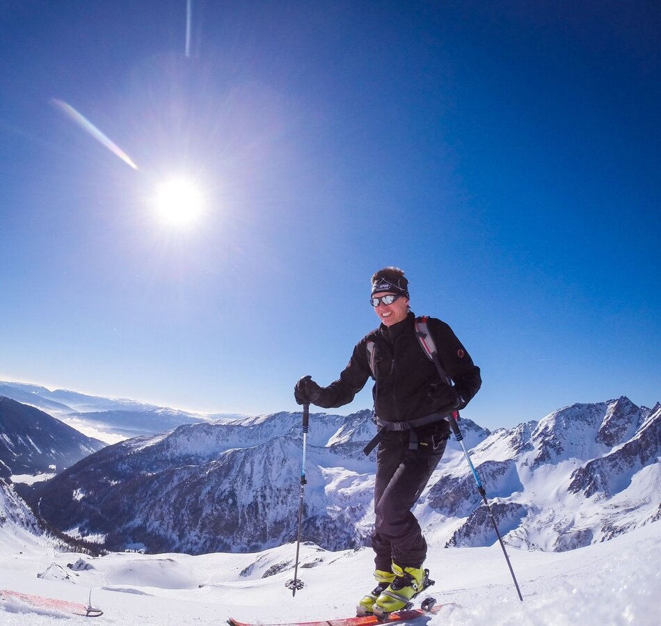
Skitouren | © Tourismusverband Murau | Tourismusverband Murau
1/1

What the weather will be like Oberwölz (833m)
Today, 24.10.2026
The rain will end in the early afternoon, and the skies will break up afterwards.Morning

4°C
sr.Regenwahrscheinlichkeit
95%
sr.Windstärke
10 km/h
Noon
7°C
sr.Regenwahrscheinlichkeit
80%
sr.Windstärke
5 km/h
Night

2°C
sr.Regenwahrscheinlichkeit
40%
sr.Windstärke
0 km/h
Tomorrow, 25.10.2026
Sunny in the early morning, but soon clouds will gather and will lead to light rain towards evening.Morning
0°C
sr.Regenwahrscheinlichkeit
10%
sr.Windstärke
0 km/h
Noon

8°C
sr.Regenwahrscheinlichkeit
55%
sr.Windstärke
5 km/h
Night
5°C
sr.Regenwahrscheinlichkeit
70%
sr.Windstärke
0 km/h
Forecast
26.10.2026

1°C
12°C
27.10.2026
0°C
14°C
28.10.2026
1°C
14°C
