


Pentecost varnishes (path 15)
Characteristics
SkillThe tour in numbers
Level of difficulty
medium
Route
6,5 km
Time
3:00 h
Uphill
298 hm
Downhill
307 hm
Highest point
1405 m
Half-day hike that leads constantly uphill over meadow and forest paths and, with a little patience, is also suitable for families with children.
After a short walk on the state road, you reach the sunny farm driveways and across meadows into the shady forest. Soon afterwards you reach the highest point of the hike, the “Eichberg”. After a short while you finally reach the “Pfingstlacke”, on the bank of which you can take a long rest before returning the same way.
Best season
January
February
March
April
May
June
July
August
September
October
November
December
More information
Coming from Judenburg (S 36) on the federal highway B 317 (Friesacher Straße) to Scheifling, B 96 (Murtalstraße) to Niederwölz, B 75 (Glattjochbundesstraße) to Oberwölz and on to Hinterburg.
Public parking spaces are available at the Gasthof Alpenblick.
From Tamsweg on the B 97 (Murauerstraße) to Murau, to Niederwölz B 96 (Murtalstraße), B75 (Glattjochbundesstraße) to Oberwölz and on to Hinterburg.
Public parking spaces are available at the Gasthof Alpenblick.
The starting point for this hike is the former “Alpenblick” inn in Hinterburg. Walk to the main road and follow it to the left towards Katsch. Pass the Leitgabkreuz chapel and you will reach the Roathof junction (small parking lot). Turn right here and after about 1 ½ km you will reach the Fresner farmstead. Walk past it to the next farm. Here, turn right and walk along the edge of the forest. Cross the forest path and follow the “Pfingstlacke” sign through the forest to the “Eichberg” hill. From here, turn left and after about five minutes you will reach the Pfingstlacke. The return route is the same.
- Good shoes
- Sun protection
- Sufficient food
With the BusBahnBim app from the interconnected line, timetable information is easier than ever: All bus, train and tram connections in Austria can be queried by entering locations and/or addresses, stops or important points. The app is available as a free app for smartphones (Android, iOS) - on Google Play and in the App Store.
ÖBB www.oebb.at | Styria connection line www.busbahnbim.at
The ideal time for this tour is from April to November. Information brochures are available at the various information offices.
Map & downloads
Gallery
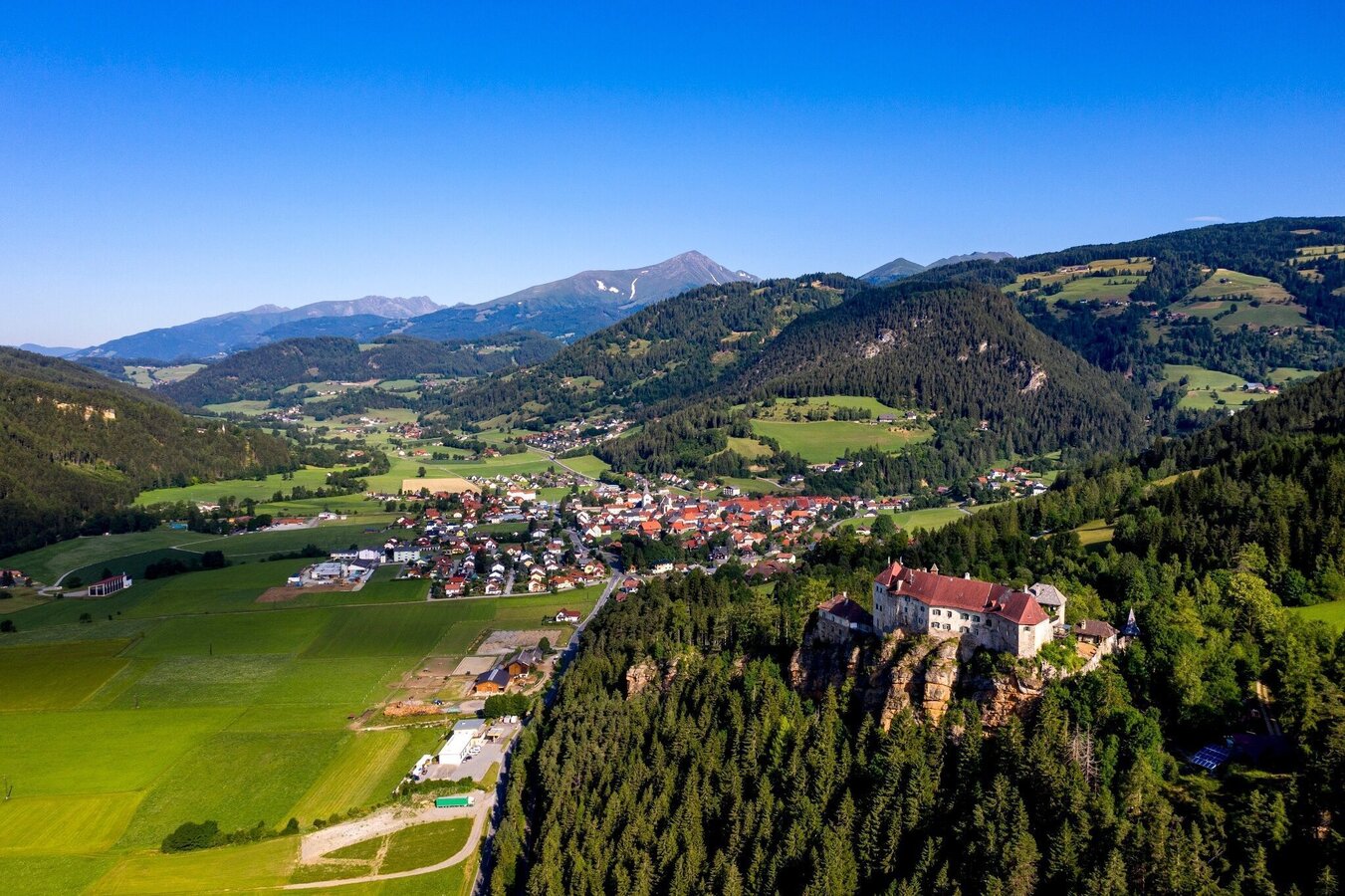
Oberwölz | © Tourismusverband Murau | Tom Lamm
1/3

Blick auf Althofen | © Tourismusverband Murau | Tom Lamm
2/3
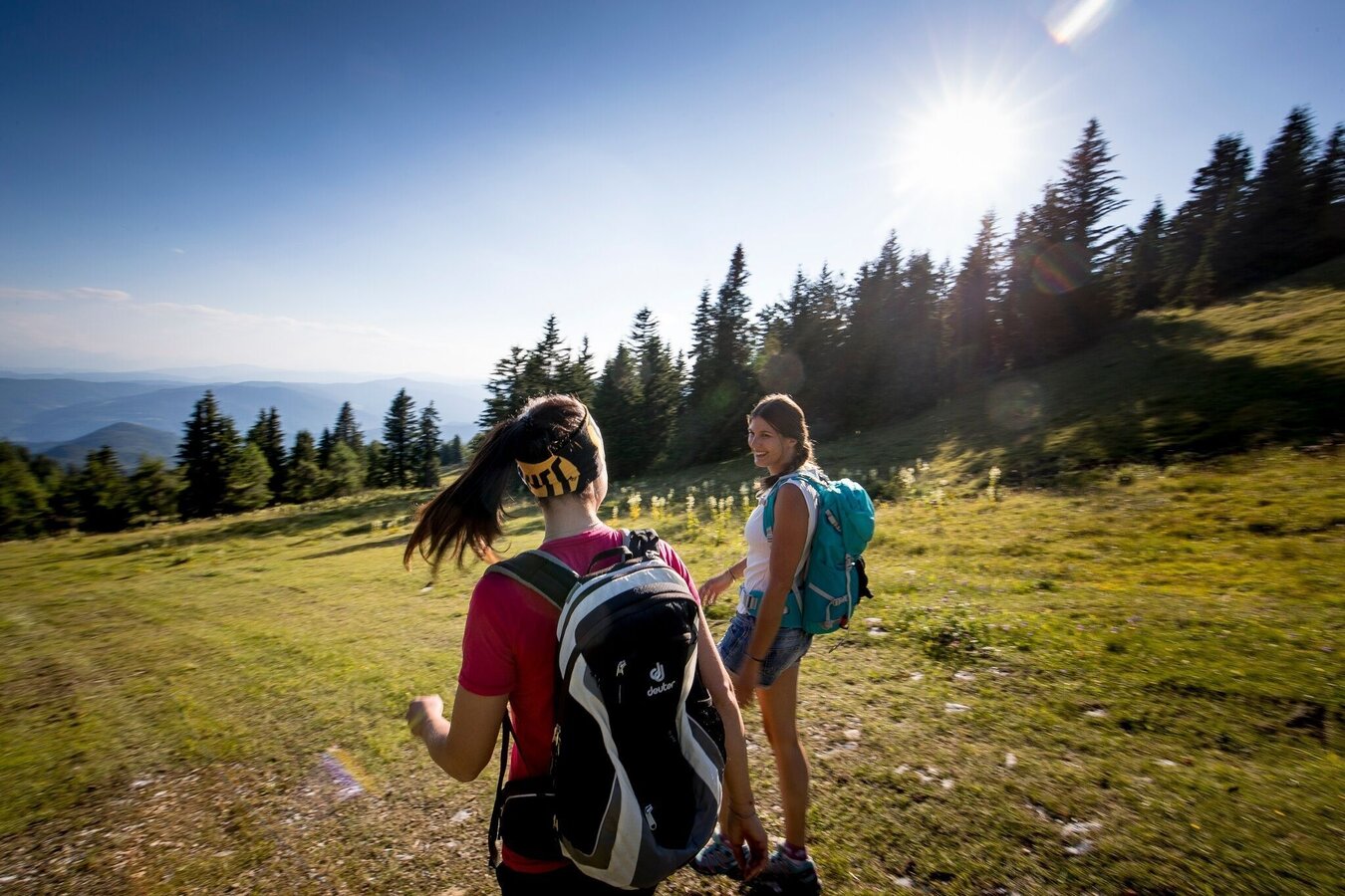
Wandern | © Tourismusverband Murau | Tom Lamm
3/3

What the weather will be like Oberwölz (833m)
Today, 20.10.2026
The day will be dry, but mostly cloudy with occasional sunny spells.Morning

8°C
sr.Regenwahrscheinlichkeit
50%
sr.Windstärke
0 km/h
Noon
15°C
sr.Regenwahrscheinlichkeit
25%
sr.Windstärke
5 km/h
Night
11°C
sr.Regenwahrscheinlichkeit
15%
sr.Windstärke
0 km/h
Tomorrow, 21.10.2026
Mostly cloudy through the day with light rain now and then.Morning
9°C
sr.Regenwahrscheinlichkeit
40%
sr.Windstärke
0 km/h
Noon

13°C
sr.Regenwahrscheinlichkeit
70%
sr.Windstärke
0 km/h
Night
11°C
sr.Regenwahrscheinlichkeit
80%
sr.Windstärke
0 km/h
Forecast
22.10.2026
1°C
10°C
23.10.2026

0°C
12°C
24.10.2026
1°C
9°C
