


Freiberg with Draunigl
Characteristics
SkillThe tour in numbers
Level of difficulty
medium
Route
12,0 km
Time
5:00 h
Uphill
506 hm
Downhill
499 hm
Highest point
1383 m
Moderately difficult circular hike from Rantenl, via Freiberg and Hinterberg. Here you can also take a short detour to the Draunigl summit on foot.
Discover the village of Ranten and its surroundings. The trail has a few “secret spots” in store for you and also offers you a small summit victory with the Draunigl.
Best season
January
February
March
April
May
June
July
August
September
October
November
December
More information
Coming from Judenburg via Unzmarkt to Scheifling. Turn right here and drive to Murau. At the double roundabout in Murau, keep right and follow the road to Ranten.
Coming from Tamsweg, drive via Stadl an der Mur to Murau. At the double roundabout in Murau, keep left and follow the road to Ranten.
From the starting point, we first walk west along the road to Ratschfeld. At the bus stop, we turn right and walk uphill along the road. Shortly before the small bridge, we turn left into the forest. After a short time, we reach a path and follow it uphill. We come to two junctions and keep left at both. Once we reach the top of Freiberg, where the road runs straight east, we can make a short detour west to Draunigl (1384 m). Now we walk along the road at Freiberg, past a few farms, which now descends steadily and takes us back to the starting point.
There are also one or two places to stop for refreshments in the town of Ranten.
With the BusBahnBim app from the interconnected line, timetable information is easier than ever before: all bus, train and tram connections in Austria can be queried by entering locations and/or addresses, stops or important points. The app is available as a free app for smartphones (Android, iOS) - on Google Play and in the App Store.
ÖBB www.oebb.at | Styria connection line www.busbahnbim.at
Public parking spaces are available directly at the main square in the municipality of Ranten.
The ideal time for this tour is from May to October. Information brochures are available at the various information offices.
Map & downloads
Gallery
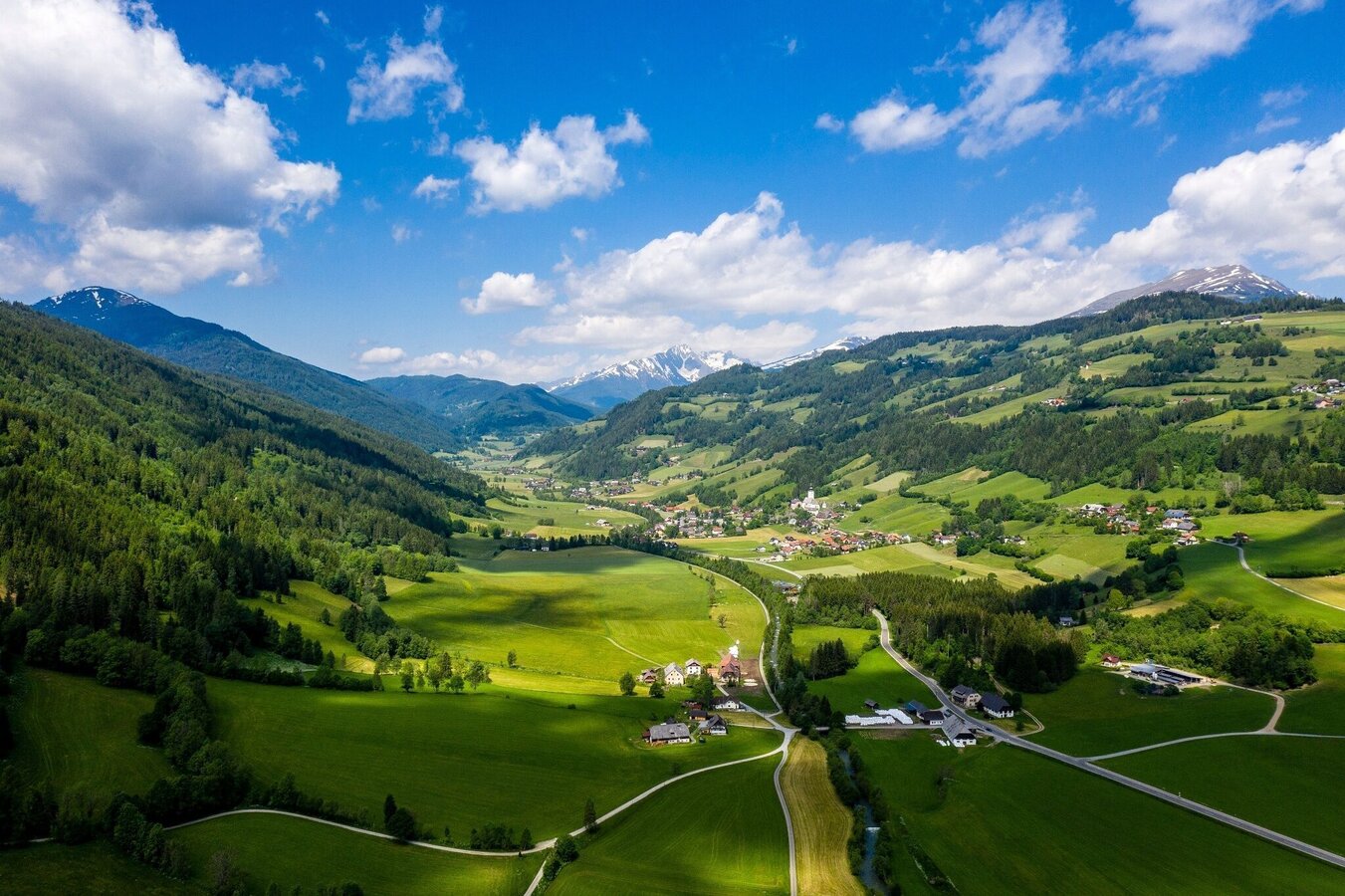
Gemeinde Ranten | © Tourismusverband Murau | Tom Lamm
1/2
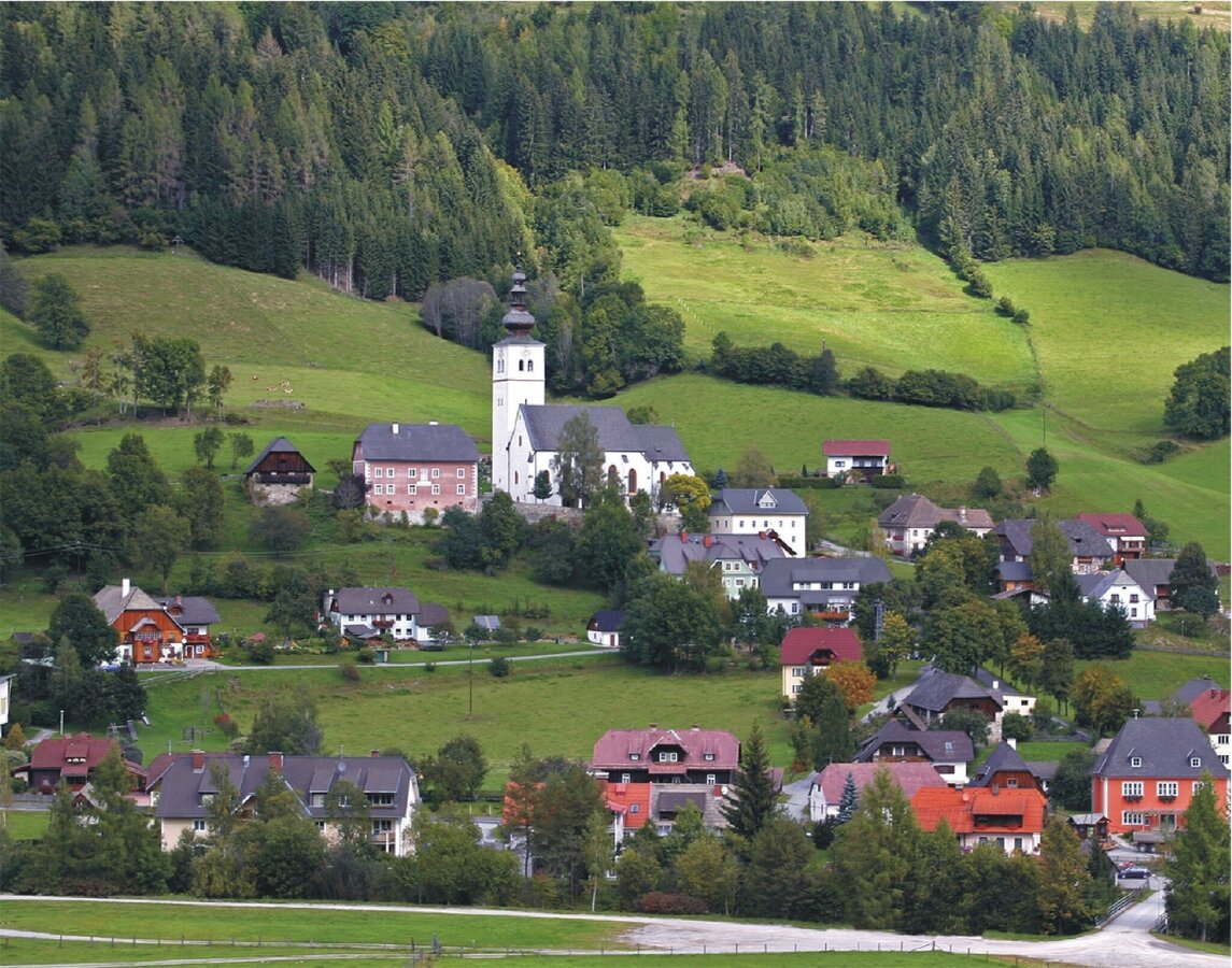
Blick auf die Ortschaft Ranten mit Pfarrkirche | © Tourismusverband Murau | Tourismusverband Murau
2/2

What the weather will be like Ranten (912m)
Today, 20.08.2026
Dry and fair in the early morning, later frequent thunderstorms.Morning

16°C
sr.Regenwahrscheinlichkeit
15%
sr.Windstärke
0 km/h
Noon

25°C
sr.Regenwahrscheinlichkeit
60%
sr.Windstärke
10 km/h
Night
18°C
sr.Regenwahrscheinlichkeit
80%
sr.Windstärke
0 km/h
Tomorrow, 21.08.2026
A high risk of thunderstorms throughout the whole day.Morning

15°C
sr.Regenwahrscheinlichkeit
80%
sr.Windstärke
5 km/h
Noon
20°C
sr.Regenwahrscheinlichkeit
85%
sr.Windstärke
10 km/h
Night
16°C
sr.Regenwahrscheinlichkeit
85%
sr.Windstärke
5 km/h
Forecast
22.08.2026

11°C
19°C
23.08.2026

10°C
20°C
24.08.2026
9°C
23°C
