


Wildfrauensteig - Bosruck Nordostgrad
Characteristics
FitnessThe tour in numbers
Level of difficulty
challenging
Route
9,0 km
Time
6:00 h
Uphill
1100 hm
Downhill
1100 hm
Highest point
1992 m
Varied traverse (Upper Austrian-Styrian border crossing) with airy ridge climbs, Topo on: https://www.bergsteigen.com/touren/klettersteig/wildfrauensteig/ Attention description from Ardning Alm
Well marked walking terrain. 2 1/2 hours from Arlingsattel, with access 3 1/4, total 5 to 7 hours. Transition to Kitzstein (45 min, I and walking terrain) particularly scenic. The trail, faintly marked with dots, often runs on the north side of the ridge, so extreme caution in wet conditions. 337 mH, difficulties: two place B/C, often A and B and climbing up to 1-.
Best season
January
February
March
April
May
June
July
August
September
October
November
December
More information
From Liezen or Admont to Ardning. In the village drive up to the Ardningalm on a bad road - or walk or hitchhike to the Ardningalm.
From Liezen or Admont to Ardning. In the village drive up on a bad road to the Ardningalm - parking lot.
From Liezen or Admont to Ardning. In the village drive up on a bad road to the Ardningalm - parking lot.
From the Ardning Alm hut on trail no. 613 in 1 hour to the Arlingsattel, there on the left crossing a mountain pine field you reach the entrance to the Wildfrauensteig. This varied 2-hour traverse (337m) offers airy ridge climbing and mainly well-marked walking terrain. The subsequent transition to the Kitzstein (45 min., I and walking terrain) is particularly scenic. Descent From the Kitzstein descend south and via the Rossfeldboden back to the Ardning Alm hut. Total walking time 2 h Ardning Alm Hut - Arlingsattel - Bosruck - Kitzstein - Rossfeldboden - Ardning Alm Hut - 6 h
Absolute surefootedness and complete freedom from vertigo are absolutely necessary. Climbing experience is useful, insured passages must also be mastered in the descent.
Emergency call mountain rescue: 140
Tip for reporting an emergency - give answers to the six W-questions: What happened? How many injured? Where did the accident happen (possibly GPS coordinates)? Who is reporting (callback number)? When did the accident happen? Weather at the accident site?
Via ferrata set and rockfall helmet. Sturdy mountain boots or good trekking shoes, as well as hiking backpack with appropriate contents (water bottle, blister plaster, hiking map, snack, etc.). You should also be well prepared for a change in weather.
Ardning Alm hut 1037M
Bosruck - also without tunnel - from Ardning village square along the forest road (trail 613) in 1.5 h - alternatively via trail 45 from Brandlhof via Holling Alm and Rossfeldboden in 2.5 h t: +43 3612 307 09 www.ardningalm.at Rohrauerhaus via Arling Sattel in 2 h From Ardning Alm Hut via Arling Sattel to Rohrauerhaus in 2 h. Karleckrunde: via Bacheralm to Rohrauerhaus and back via Arling Sattel in 3 h Wildfrauen via ferrata: (A-B) from Wildfrauenhöhle Ardning Alm Hütte - Wildfrauen via ferrata (A-B) - Frauenmauer - Bosruck - Kitzstein - Rossfeldboden - Ardning Alm Hütte in 6 h Info: year-round hut operation, Thurs day off.
www.oebb.at
www.busbahnbim.at
Gesäuse shared taxi
In the Gesäuse you are mobile even without your own car. A call to +43(0)3613/21 000-99 is all it takes: Within the operating hours (daily 08:00 - 20:00) you can get from May to October with the Gesäuse collective cab, vlg. Gseispur, to any destination in the Gesäuse, without any timetable or stops. Even a connection to the train stations Liezen, Selzthal and Kleinreifling is provided. Single trip per person € 9,50
Tourismusverband Gesäuse
Hauptstraße 35, 8911 Admont, Österreich
Tel. +43 (0) 3613 21160 10
Email: info@gesaeuse.at
Topo auf: https://www.bergsteigen.com/touren/klettersteig/wildfrauensteig/
Carto.at / Wander-, Rad- & Schitourenkarte „Nationalpark Gesäuse“Gesäuseberge – Haller Mauern – Eisenerzer Alpen West, Nr. 801M 1: 35.000 http://www.carto.at/gesaeuse/
Kompass/ Wander-, Fahrrad- & Schitourenkarte „Nationalpark Gesäuse“, Nr. 206
M 1 : 25.000 http://www.kompass.de/touren-und-regionen/wanderkarte/dest/100148-alpenregion-nationalpark-gesaeuse/
Alpenvereinskarte „Gesäuse und Ennstaler Alpen“, Blatt 16, M 1 : 25.000
http://www.freytagberndt.com/shop/9783928777346-alpenvereinskarte-16-ennstaler-alpen-gesaeuse/
Rother Wanderführer GesäuseMap & downloads
Gallery
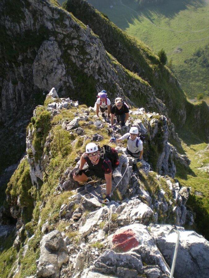
Am Wildfrauensteig | © TV Gesäuse | Ralph Gruber
1/10
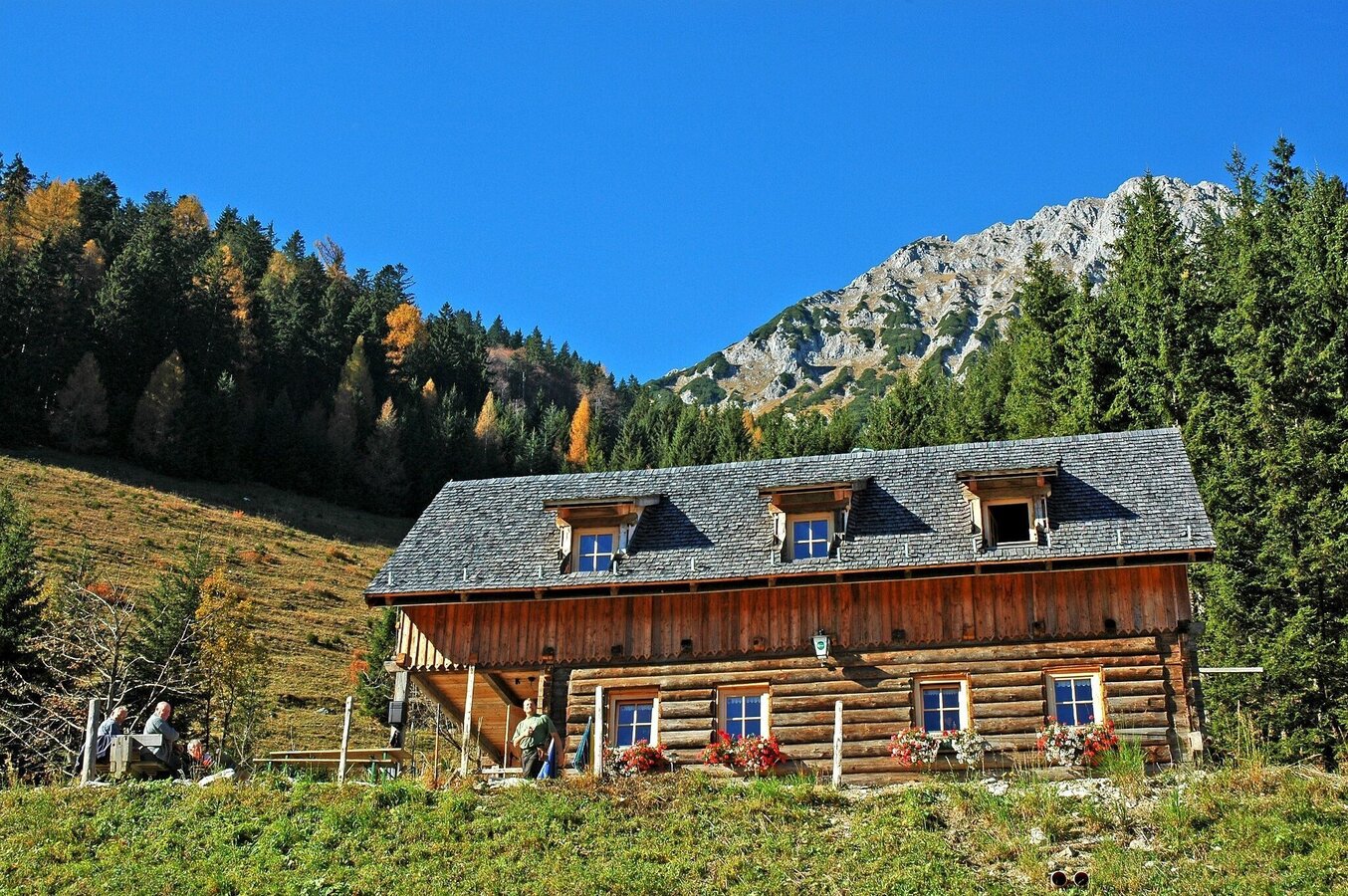
Ardningalm im Sommer | © TV Gesäuse | Tourismusverband Gesäuse
2/10
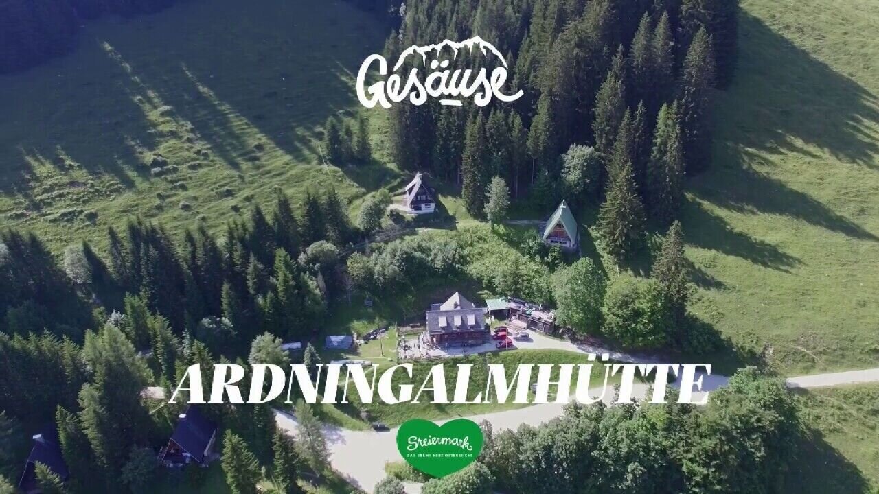
Hütten im Gesäuse | Ardningalm | © Tourismusverband Gesäuse
3/10
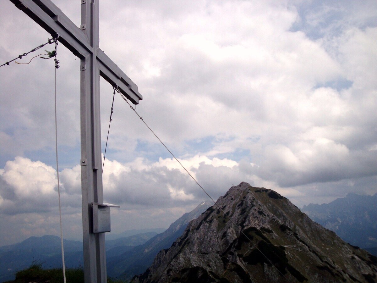
Kitzstein 1925 m | © Alpenverein Linz | Karl Linecker
4/10
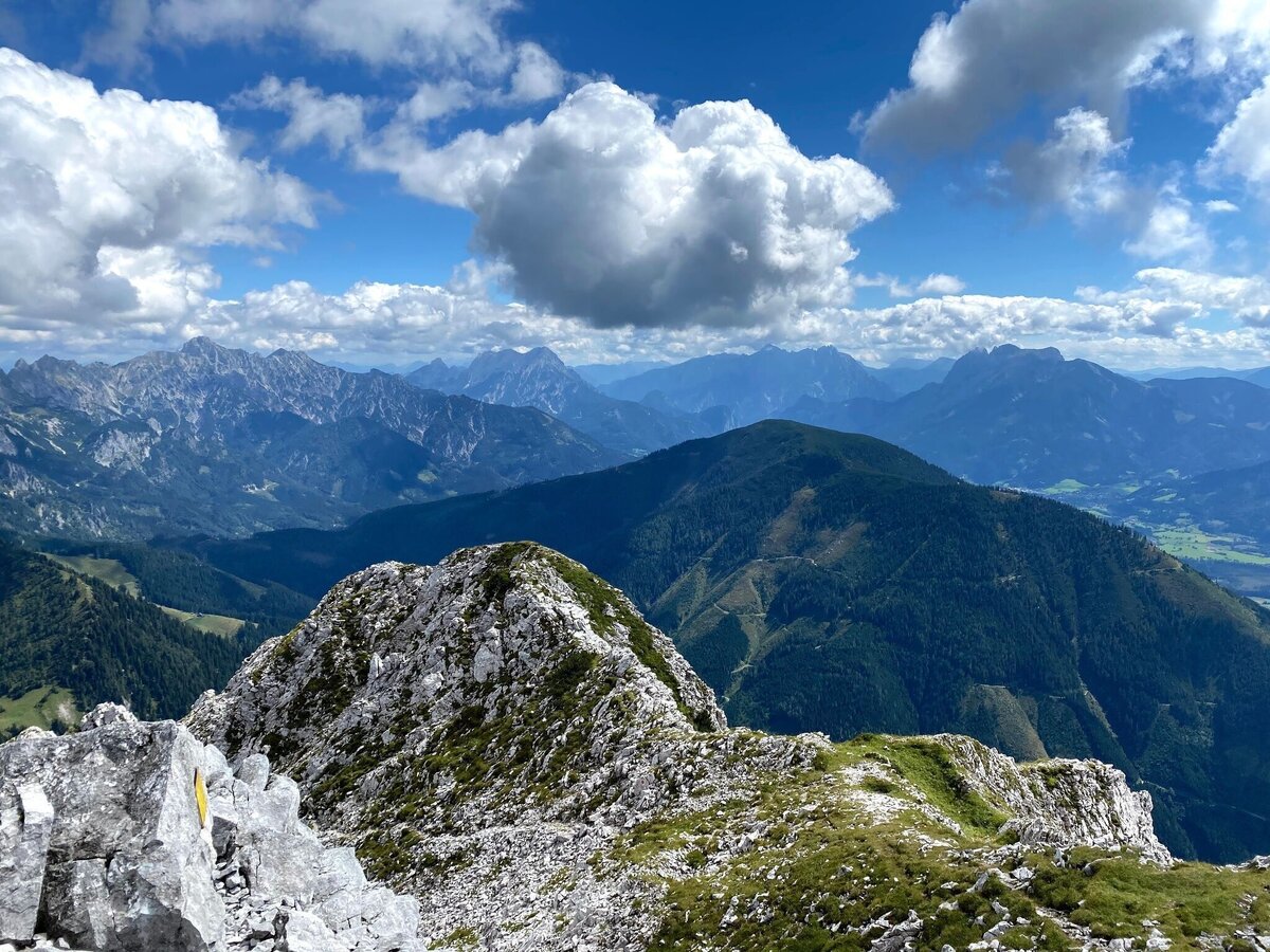
wildfrauensteig - bosruck nordostgrad_img_62767837 | © TV Gesäuse | Tourismusverband Gesäuse
5/10
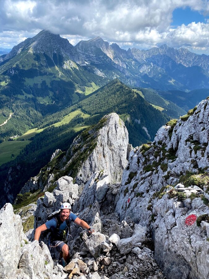
wildfrauensteig - bosruck nordostgrad_img_62767839 | © TV Gesäuse | Tourismusverband Gesäuse
6/10
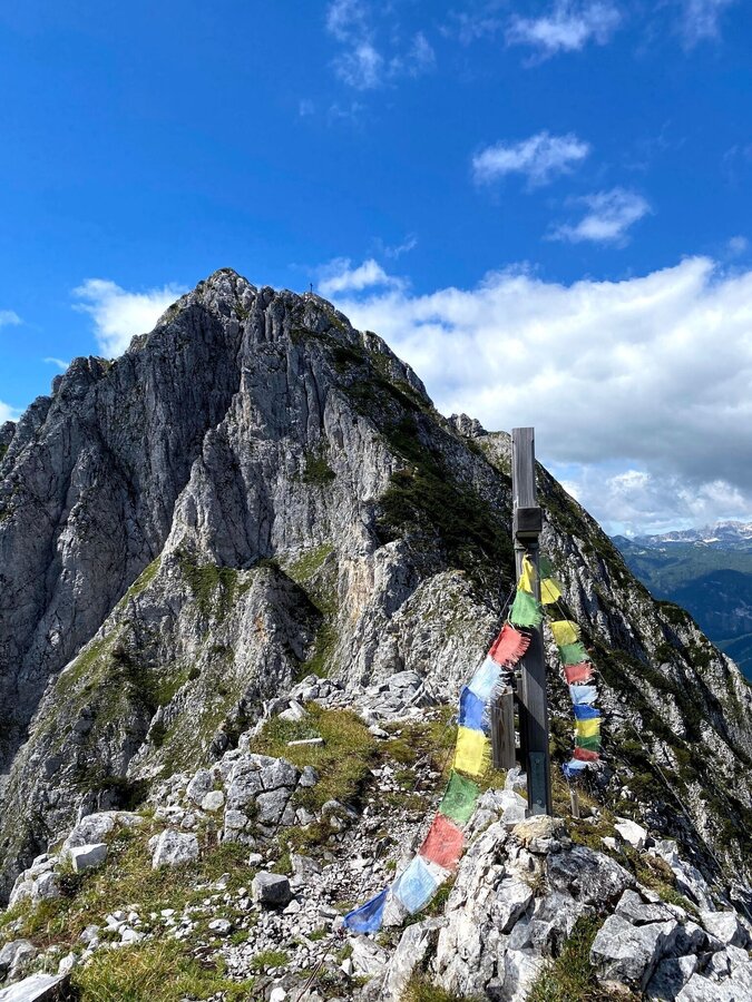
wildfrauensteig - bosruck nordostgrad_img_62767840 | © TV Gesäuse | Tourismusverband Gesäuse
7/10
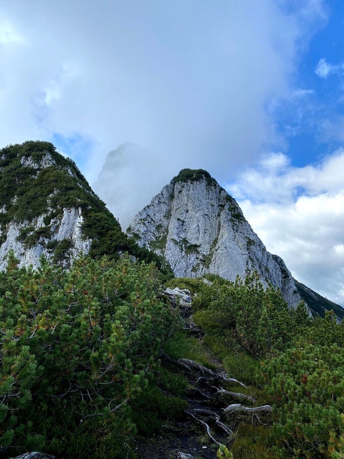
wildfrauensteig - bosruck nordostgrad_img_62767841 | © TV Gesäuse | Tourismusverband Gesäuse
8/10
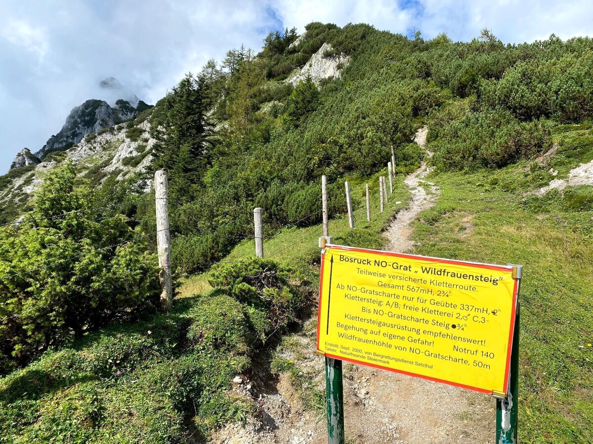
wildfrauensteig - bosruck nordostgrad_img_62767842 | © TV Gesäuse | Tourismusverband Gesäuse
9/10
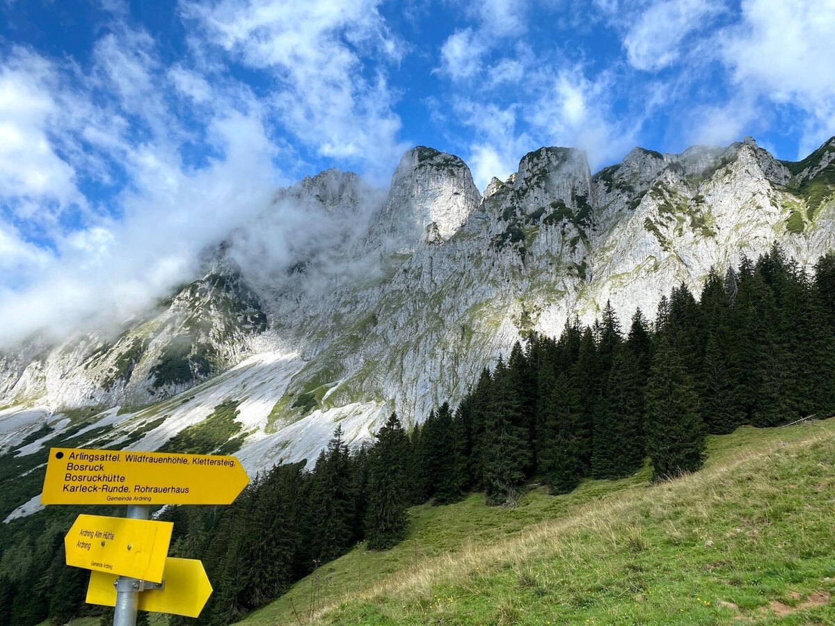
wildfrauensteig - bosruck nordostgrad_img_62767843 | © TV Gesäuse | Tourismusverband Gesäuse
10/10

What the weather will be like Ardning (664m)
Today, 24.10.2026
The rain will end in the early afternoon, and the skies will break up afterwards.Morning

3°C
sr.Regenwahrscheinlichkeit
95%
sr.Windstärke
5 km/h
Noon
7°C
sr.Regenwahrscheinlichkeit
80%
sr.Windstärke
5 km/h
Night

3°C
sr.Regenwahrscheinlichkeit
15%
sr.Windstärke
0 km/h
Tomorrow, 25.10.2026
Fair in the early morning, then considerable cloudiness and frequent rain.Morning
1°C
sr.Regenwahrscheinlichkeit
10%
sr.Windstärke
5 km/h
Noon
9°C
sr.Regenwahrscheinlichkeit
65%
sr.Windstärke
10 km/h
Night

7°C
sr.Regenwahrscheinlichkeit
85%
sr.Windstärke
5 km/h
Forecast
26.10.2026
0°C
11°C
27.10.2026

0°C
14°C
28.10.2026
1°C
12°C
