


To Burg Gallenstein
Accessible by public transport- Public bus (within 15 minutes walking distance from starting point)
Characteristics
SkillThe tour in numbers
Route
5,7 km
Uphill
195 hm
Downhill
197 hm
Highest point
629 m
Up the Old Paths
A leisurely hike from St. Gallen up to the ancient Gallenstein Castle ruins.
Best season
January
February
March
April
May
June
July
August
September
October
November
December
More information
From City Hall, follow Maunzweg along the edge of town. Cross the Buchauer Bach stream and then head up to the castle ruins.
Map & downloads
Gallery
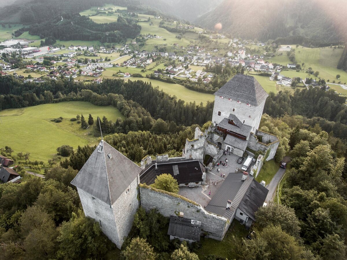
Burg Gallenstein in der Naturparkgemeinde | Stefan Leitner
1/1

What the weather will be like St. Gallen (509m)
Today, 03.11.2026
Light rain until the early afternoon, then slowly becoming dry.Morning

3°C
sr.Regenwahrscheinlichkeit
75%
sr.Windstärke
5 km/h
Noon
4°C
sr.Regenwahrscheinlichkeit
75%
sr.Windstärke
5 km/h
Night

3°C
sr.Regenwahrscheinlichkeit
65%
sr.Windstärke
5 km/h
Tomorrow, 04.11.2026
Rather cloudy in the morning, then sunny spells will develop gradually.Morning
2°C
sr.Regenwahrscheinlichkeit
10%
sr.Windstärke
5 km/h
Noon
5°C
sr.Regenwahrscheinlichkeit
10%
sr.Windstärke
5 km/h
Night

3°C
sr.Regenwahrscheinlichkeit
5%
sr.Windstärke
5 km/h
Forecast
05.11.2026

-1°C
8°C
06.11.2026
-2°C
9°C
07.11.2026
-2°C
8°C
