


Stage 03 Hesshütte - Ennstalerhütte, Gesäuse hut loop
Characteristics
SkillThe tour in numbers
Level of difficulty
medium
Route
18,9 km
Time
7:45 h
Uphill
1230 hm
Downhill
1383 hm
Highest point
1821 m
Heßhütte-Ennstalerhütte Wild waters: Along the wild and romantic Hartelsgraben and the Enns to the oldest refuge in the Gesäuse
Of course there is always an easier way on every mountain. With more than 500 km of hiking trails and one of the highest densities of mountain huts in the Eastern Alps, nothing stands in the way of a hiking experience lasting several days in the only Styrian National Park. The whole Gesäuse in one go is best experienced on the Gesäuse Hut Tour. From hut to hut and even completely flexible (no fixed places to stay overnight, numerous variations and completely mobile without your own car), the alpine Gesäuse is more beautiful than ever to hike.
Best season
January
February
March
April
May
June
July
August
September
October
November
December
More information
Parking facilities are available at the respective starting points, which are subject to a charge, especially in the Gesäuse National Park area.
Tip: Please leave a note in your car with your telephone number and the date of your return together with a note that you are on the Gesäuse Hüttenrunde for several days. The mountain rescue service will thank you!
From the Hesshütte you go approx. 300m south along yesterday's path back to the signposted junction at Gamsbrunn and then left up to the Sulzkarhund. From the edge of the Sulzkarhund you can clearly see the descent into the Sulzkar in front of you and go down to the Almenboden - here you experience the Gesäuse "off the beaten track". You leave the lake on your right and soon reach the alpine huts. Continue along the marked path to the forest road and along this road - following the signs - through a forest to a hunting lodge. Here you choose the old forest road into the wildly romantic Hartelsgraben. The path runs straight down through the Hartelsgraben, accompanied by the ever-increasing river and numerous smaller waterfalls. Shortly after the railway crossing you reach the Hartelsgraben car park.From here you walk for about 30 minutes along the road to the right (east) towards Hieflau (beware of busy traffic), until a hiking trail (forest road) branches off to the left (at KM 109,3 just before the road crosses the Enns). Follow this path along the Enns - at the junction, turn left and follow the markings of the hiking path (path no. 648). Now the trail climbs slightly through the forest, crossing the road again and again, which winds its way up in serpentines. At Kühmairboden (1.191m) you reach a junction where you turn left and hike along the forest path (path no. 642) almost even to Hochscheibenalm (1.189m). Now you orientate yourself to the right and it leads steadily uphill below the Tamischbachturm (2.035m) on a path (path no. 642) through the forest and over open areas up to the Ennstaler Hütte.On this hut's terrace you feel like you are on a box seat due to the location directly on the ridge between the Tamischbachturm and the rocky summit of Kleiner Buchstein. Opposite you can see the wild and rugged north side of the Hochtorgruppe and to the north the view extends far into the Alpine foothills.
Emergency mountain rescue: 140
Technically speaking, the Gesäuse Hüttenrunde is of moderate difficulty, which is no problem for sure-footed and experienced mountain hikers. All stages run along mountain trails with a red dot, which means they are classified as moderately difficult hiking trails according to the Austrian Alpine Association. However, you should have a certain amount of mountain experience for the Gesäuse Hüttenrunde, as you are hiking in the mountains at altitudes of up to 1,850 m above sea level.
Translated with www.DeepL.com/Translator (free version)
On sections of this stage, you will be walking on so-called "natural paths". These trails, which only exist in national parks and comparable areas where the tasks of process protection and making the experience accessible come together, are specially marked and only maintained to a limited extent by the trail keepers. As a result, these paths require increased precautionary measures, such as not walking in strong winds, observing the trees, not standing under dead trees and not hiking with headphones in order to hear acoustic warning signals in good time. In return, they enable a special experience of nature that only national parks can offer. Only less frequented paths are designated as "natural"; every refuge can also be reached via "normal" paths.
For the Gesäuse hut tour, "normal" equipment for alpine hikes on unpaved paths is completely sufficient. In any case, we recommend sturdy shoes and telescopic walking sticks to take the strain off the knees on the sometimes longer descents. For all refuges along the trail you should also bring a sleeping bag and a towel. Since the huts where you will be staying overnight on your trail trip are very remote and high up in the mountains and cannot be reached by the luggage shuttle, we cannot offer any luggage transport for the Gesäuse Hut Tour. We therefore recommend that you pack your rucksack sparingly and only take what is really necessary with you to the Gesäuse Hüttenrunde. It can be quite liberating to be on the way without luxury!
It is recommended to contact the Trail Info & Booking Centre before booking.
Offers at www.bookyourtrail.com/trail/gesaeuse-huettenrundwanderweg
In the Gesäuse you are mobile even without your own car
One call to t: +43 3613 21 000 99 is enough: During operating hours, you can take the Gesäuse shared cab, vlg. Gseispur, to any destination in the Gesäuse, without any timetable or stops.
Further information & operating times
Timetable inquiry at www.oebb.at or www.busbahnbim.at
www.bookyourtrail.com/trail/gesaeuse-huettenrundwanderweg
carto.at / Wander-, Rad- & Schitourenkarte „Nationalpark Gesäuse“Gesäuseberge – Haller Mauern – Eisenerzer Alpen West, Nr. 801
M 1: 35.000 http://www.carto.at/gesaeuse/
Kompass/ Wander-, Fahrrad- & Schitourenkarte „Nationalpark Gesäuse“, Nr. 206
M 1 : 25.000 http://www.kompass.de/touren-und-regionen/wanderkarte/dest/100148-alpenregion-nationalpark-gesaeuse/
Alpenvereinskarte „Gesäuse und Ennstaler Alpen“, Blatt 16, M 1 : 25.000 http://www.freytagberndt.com/shop/9783928777346-alpenvereinskarte-16-ennstaler-alpen-gesaeuse/
Map & downloads
Gallery
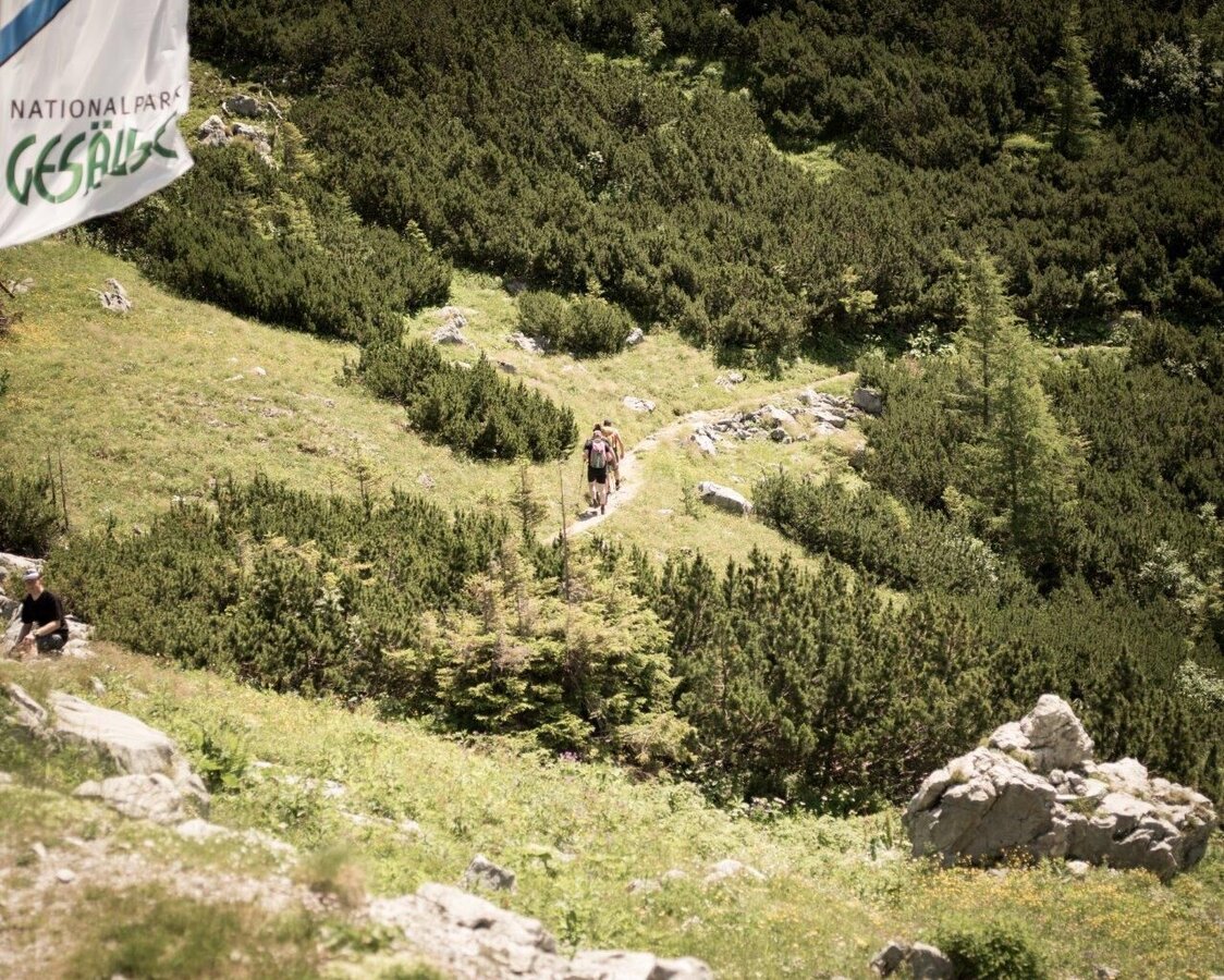
Erste Wegmeter von Hesshütte | © TV Gesäuse | Tourismusverband Gesäuse
1/13
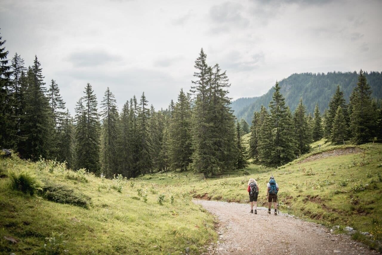
Ersten Meter von Mödlingerhütte nach Johnsbach | © TV Gesäuse | Tourismusverband Gesäuse
2/13
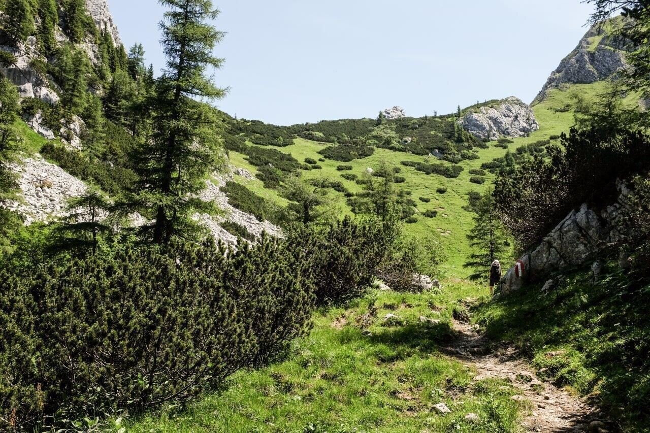
Weg auf den Sulzkarhund | © TV Gesäuse | Tourismusverband Gesäuse
3/13
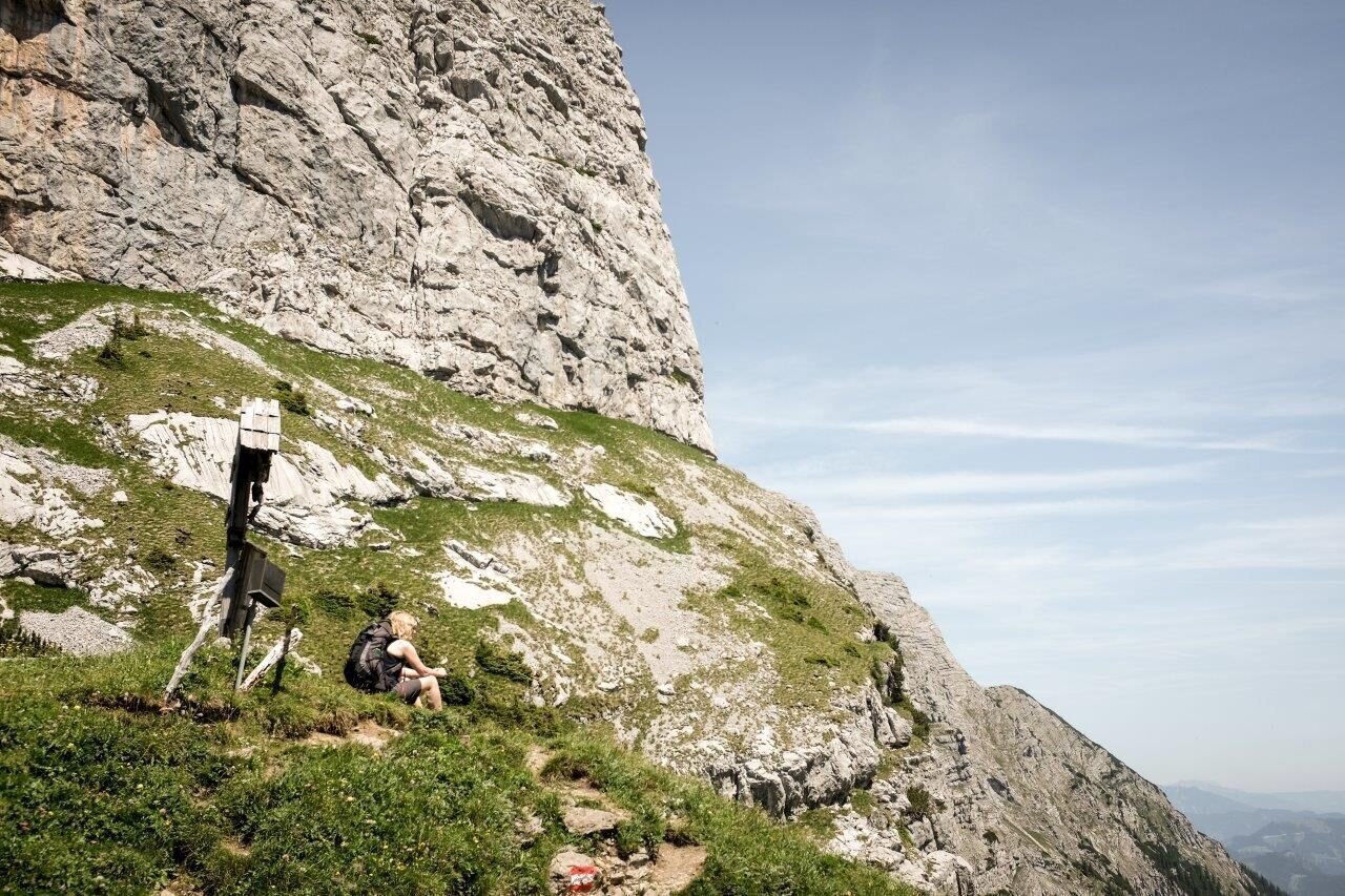
Auf dem Sulzkarhund | © TV Gesäuse | Tourismusverband Gesäuse
4/13
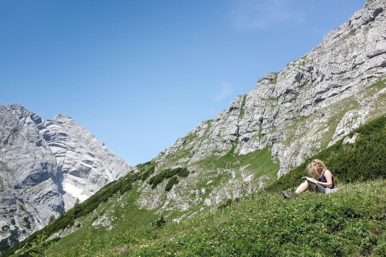
Blick zum Hochtor mit Tellersack | © TV Gesäuse | Tourismusverband Gesäuse
5/13
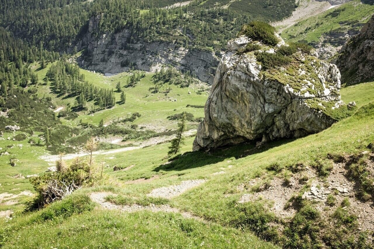
Blick ins Sulzkar | © TV Gesäuse | Tourismusverband Gesäuse
6/13
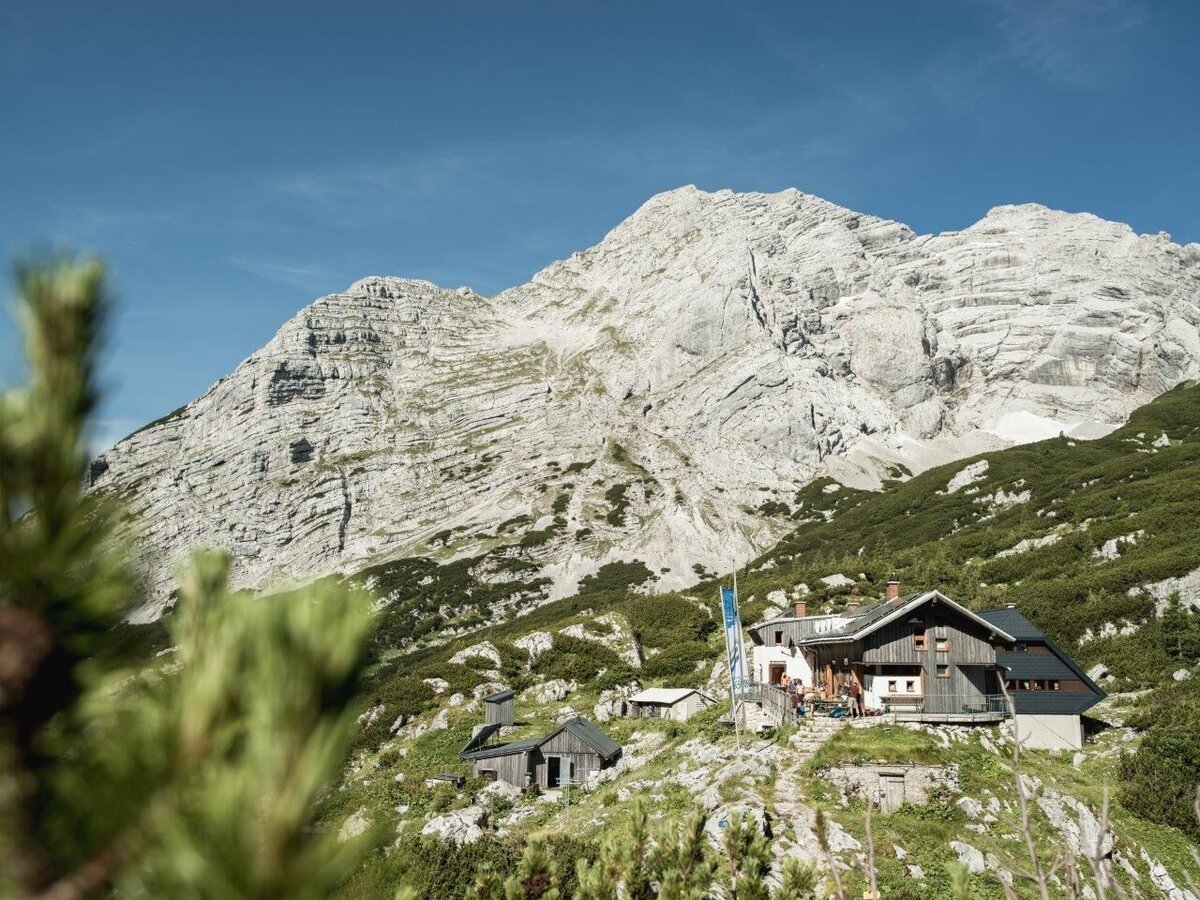
Hesshütte | © TV Gesäuse | Tourismusverband Gesäuse
7/13
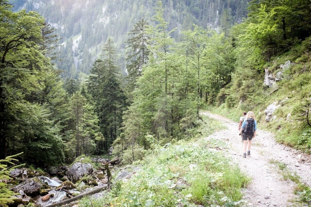
Abstieg in den Hartelsgraben | © TV Gesäuse | Tourismusverband Gesäuse
8/13
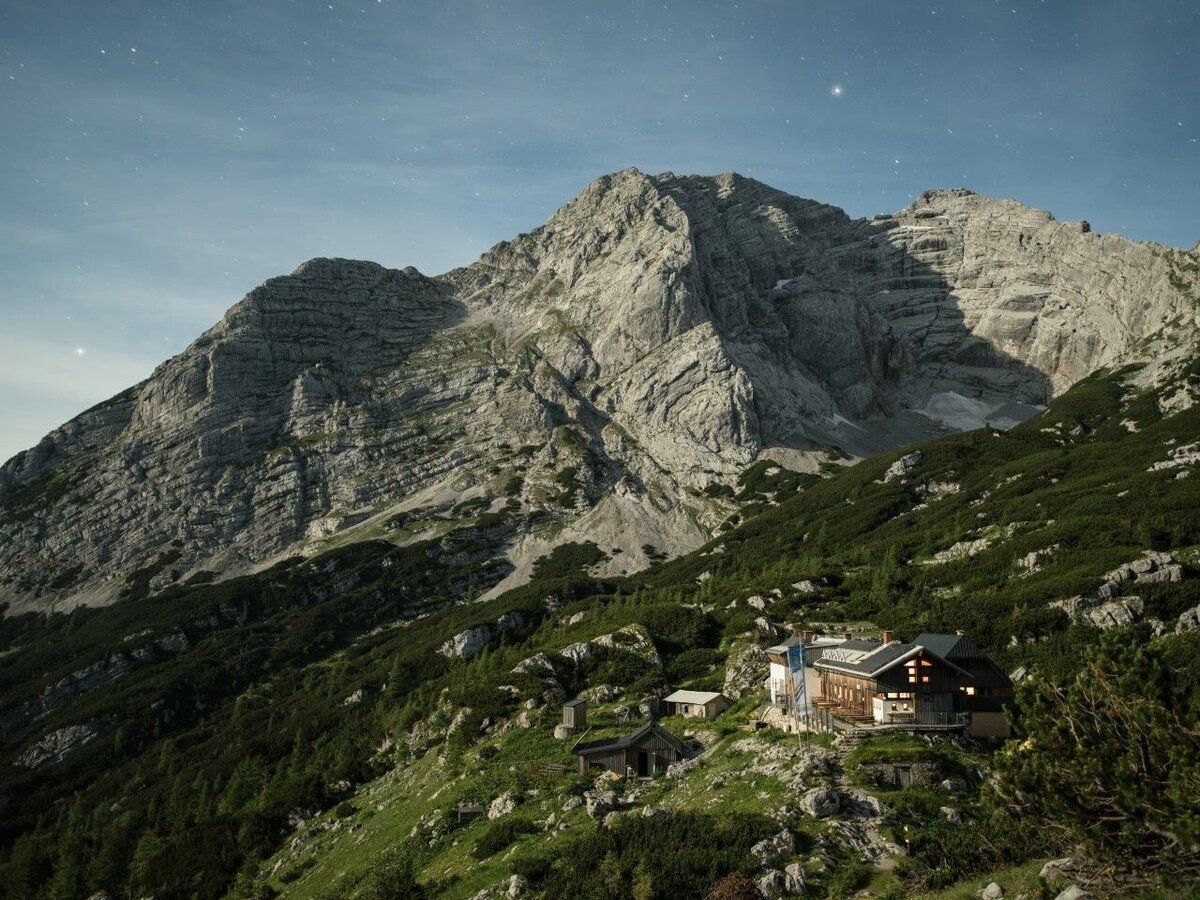
Hesshuette bei Nacht | © TV Gesäuse | Tourismusverband Gesäuse
9/13
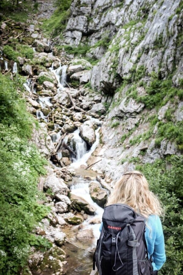
Harteldgraben | © TV Gesäuse | Tourismusverband Gesäuse
10/13
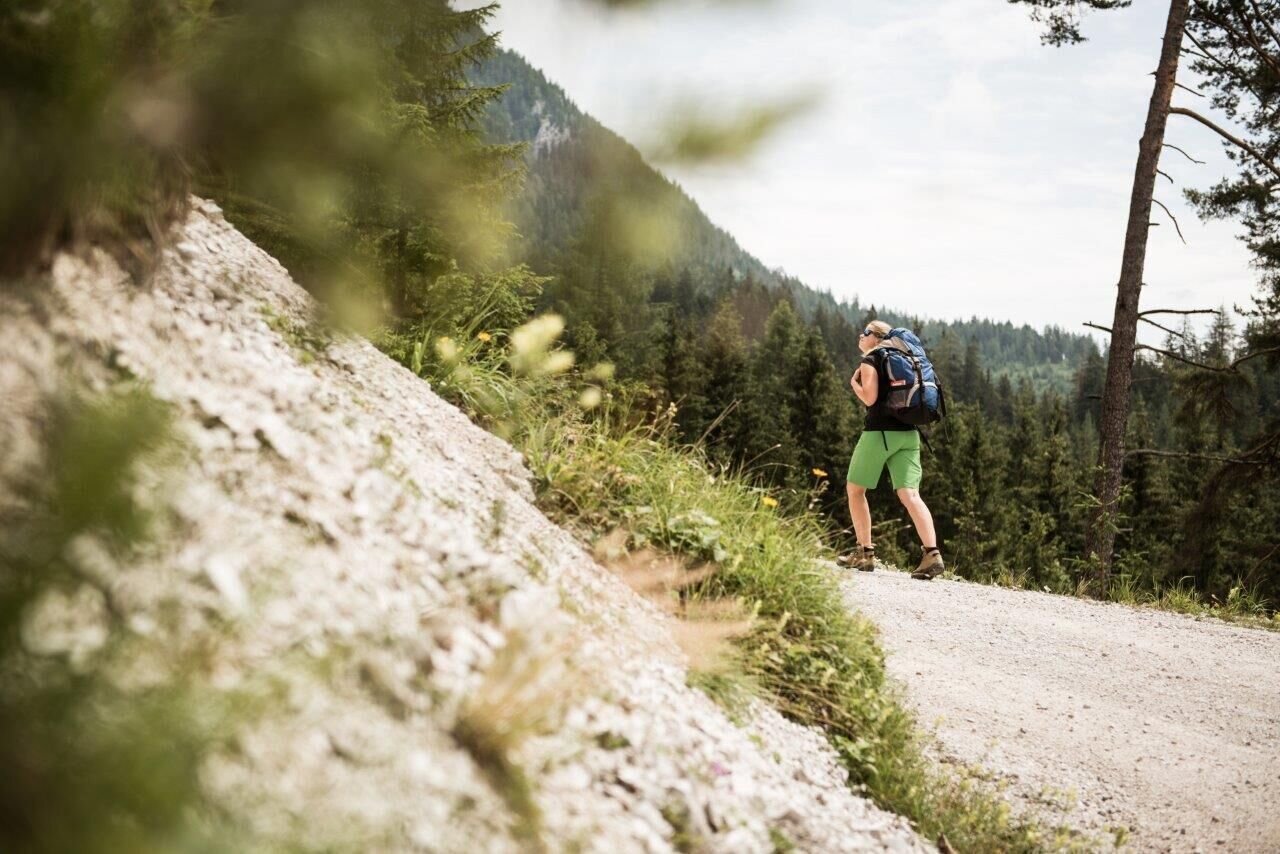
Aufsteig auf die Hochscheibn | © TV Gesäuse | Tourismusverband Gesäuse
11/13
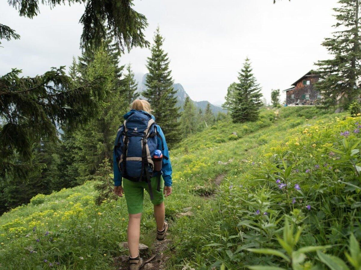
Ankunft auf der Ennstalerhütte | © TV Gesäuse | Stefan Leitner
12/13
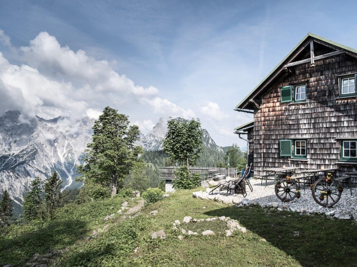
Ennstalerhütte | © TV Gesäuse | Tourismusverband Gesäuse
13/13

What the weather will be like Admont (635m)
Today, 25.10.2026
Fair in the early morning, later frequent, but rather light rain.Morning

1°C
sr.Regenwahrscheinlichkeit
10%
sr.Windstärke
0 km/h
Noon

8°C
sr.Regenwahrscheinlichkeit
65%
sr.Windstärke
5 km/h
Night
7°C
sr.Regenwahrscheinlichkeit
80%
sr.Windstärke
5 km/h
Tomorrow, 26.10.2026
Early clouds will gradually clear to leave the region with a dry and sunny day.Morning
4°C
sr.Regenwahrscheinlichkeit
40%
sr.Windstärke
0 km/h
Noon
10°C
sr.Regenwahrscheinlichkeit
15%
sr.Windstärke
5 km/h
Night

4°C
sr.Regenwahrscheinlichkeit
0%
sr.Windstärke
0 km/h
Forecast
26.10.2026
0°C
11°C
27.10.2026
0°C
14°C
28.10.2026
2°C
12°C
