


Schwärzerweg/Raffelgraben
Characteristics
SkillThe tour in numbers
Level of difficulty
challenging
Route
9,9 km
Time
4:07 h
Uphill
524 hm
Downhill
524 hm
Highest point
1040 m
The historic Schwärzerweg trail near Palfau leads from Erzhalden through the picturesque Raffelgraben. PURE NATURE!
The historic Schwärzerweg near Palfau leads from Erzhalden through the romantic, but rather difficult to walk Raffelgraben to the 1200 m high Niederscheibenalm. Ten signposted waypoints tell the story of the lumberjacks' work and of the blackeners (smugglers) to whom the trail owes its name.
Best season
January
February
March
April
May
June
July
August
September
October
November
December
More information
From Vienna: West highway A1 to Amstetten; federal road B121 via Waidhofen a.d. Ybbs to Weyer Markt; federal road B115 via Altenmark to Großreifling; state road L714 to Palfau. From Salzburg/Linz: West highway A1 to Enns; federal road 115 via Steyr, Großraming, Altenmarkt to Großreifling; state road L714 to Palfau. From Graz/Klagenfurt: Motorway A9 to Traboch; federal road 115 via Trofaiach, Vordernberg, Präbichl, Eisenerz, Hieflau to Landl; federal road B25 via Mooslandl, Gams b. Hieflau to Palfau.
Erzhalden bridge at the turnoff to Wildalpen/Mariazell
Erzhalden bridge at the turnoff to Wildalpen/Mariazell
From the parking lot Erzhalden a few meters in the direction of Göstling and .from the access to the country house Kaisergemse approx.200m on the Erlauftal-Bundesstraße to the junction of an access road in front of a chapel built on a hill. Follow the marked road, past a blacksmith's shop for about 300m in the direction of Raffelgraben, and at the fork in the Moaralm-Gamsstein or Raffelgraben forest roads, take the right-hand path into the Raffelgraben until you reach the information boards about the history of the Schwärzerweg after the bridge.
Directly at the information boards after N, follow the Schwärzerweg over a dried out stream bed into the ravine-like Raffelgraben.
At the replica of a former wooden giant, the romantic path leads moderately uphill to the end of the valley, which resembles an arena. From there, on the left-hand side of the slope, a well-developed path leads up in several serpentines about 50 m long and further along a path well secured with steel cables over this natural barrier. At a decaying replica of a lumberjack's hut and fallen giant trees, the Schwärzerweg leads slightly uphill to the Forstweg. This connects the Niederscheibenberg and the Moar-(nieder)alm.
From here it is possible to filter the forest road to Palfau into the valley or to combine the route with other paths.
Sturdy hiking boots or good trekking shoes
Hiking backpack
Water bottle
First aid kit including blister plasters
Hiking map and smartphone
Snacks
Sunglasses
Sunscreen
Hiking backpack
Water bottle
First aid kit including blister plasters
Hiking map and smartphone
Snacks
Sunglasses
Sunscreen
The tour can easily be extended e.g. to the Naturfreundehütte or the Gamsstein.
www.oebb.at
www.busbahnbim.at
Gesäuse Tourism Association
Hauptstraße 35, 8911 Admont, Austria
t: +43 3613 2116010
www.gesaeuse.at
Email: info@gesaeuse.at
Hauptstraße 35, 8911 Admont, Austria
t: +43 3613 2116010
www.gesaeuse.at
Email: info@gesaeuse.at
Map & downloads
Gallery
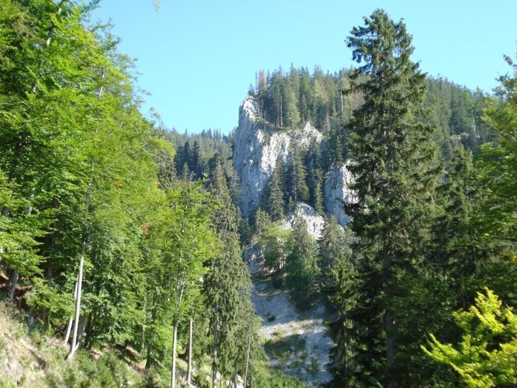
schwärzerweg/raffelgraben_img_1903426 | © Gesäuse - Palfau
1/12
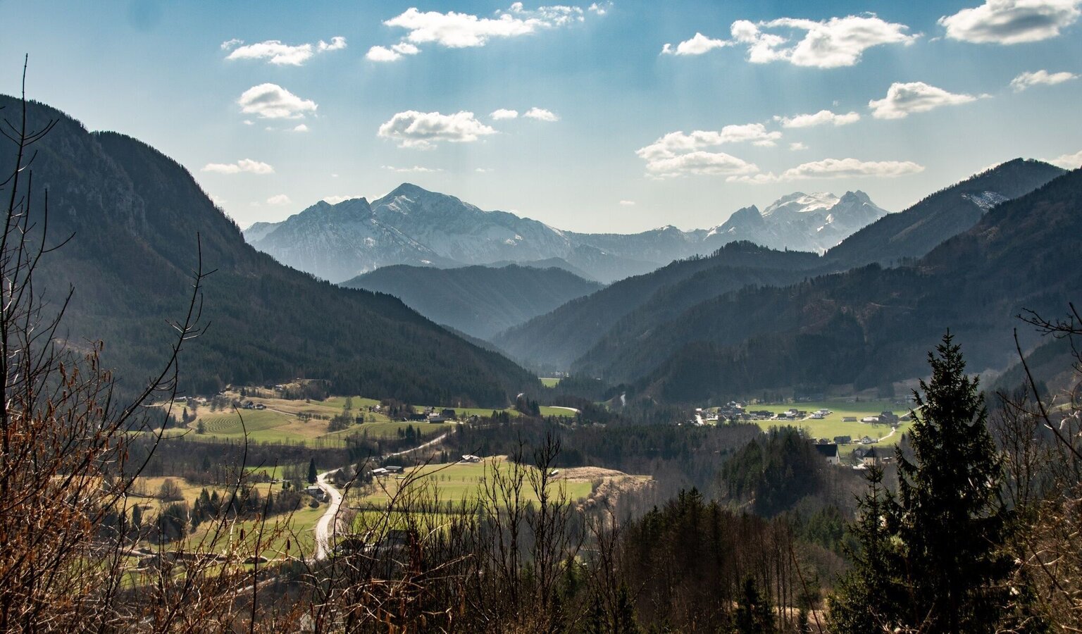
blick auf Palfau | © TV Gesäuse | Tourismusverband Gesäuse
2/12
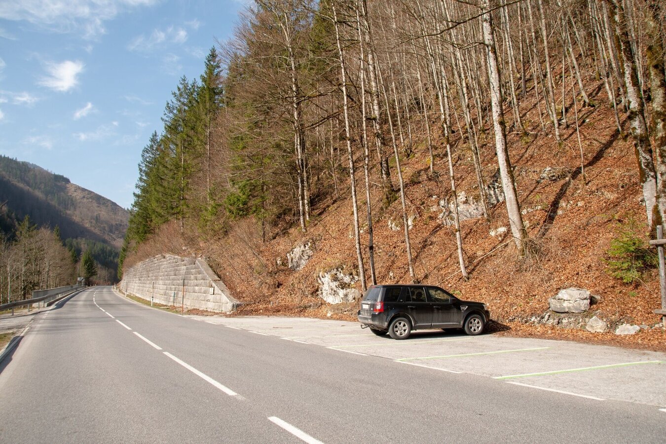
Parkplatz Erzhalden | © TV Gesäuse | Tourismusverband Gesäuse
3/12
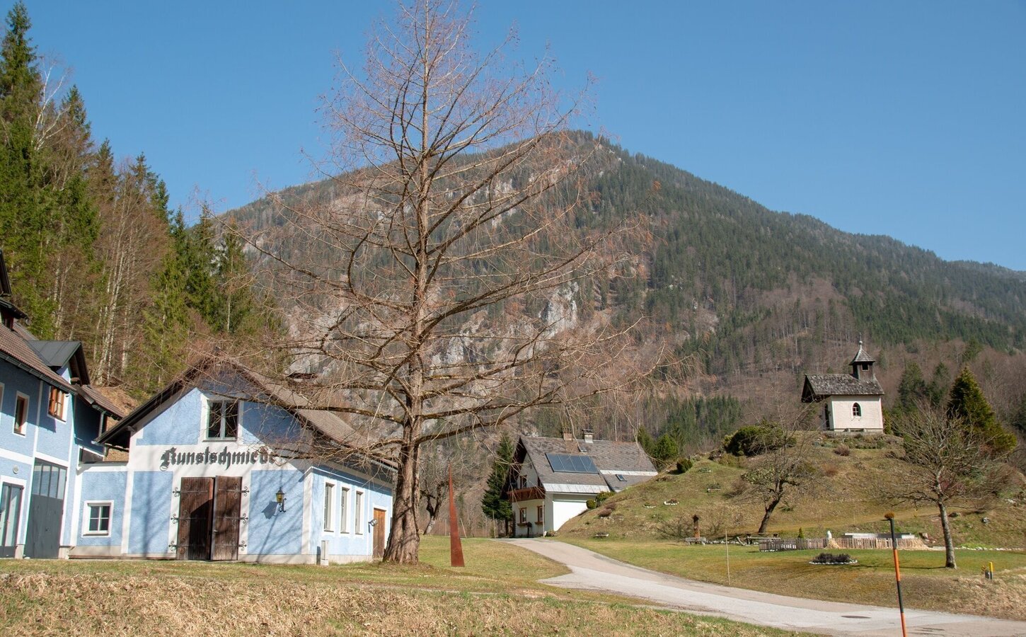
Kunstschmiede und Kapelle Abzweigung von der Bundesstraße | © TV Gesäuse | Tourismusverband Gesäuse
4/12
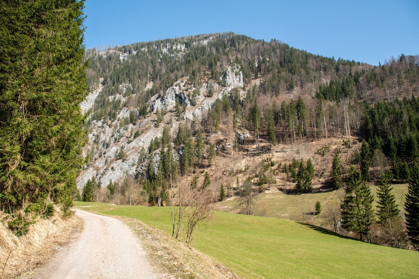
folge dem Forstweg | © TV Gesäuse | Tourismusverband Gesäuse
5/12
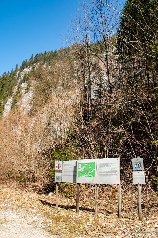
Start in den Raffelgraben | © TV Gesäuse | Tourismusverband Gesäuse
6/12
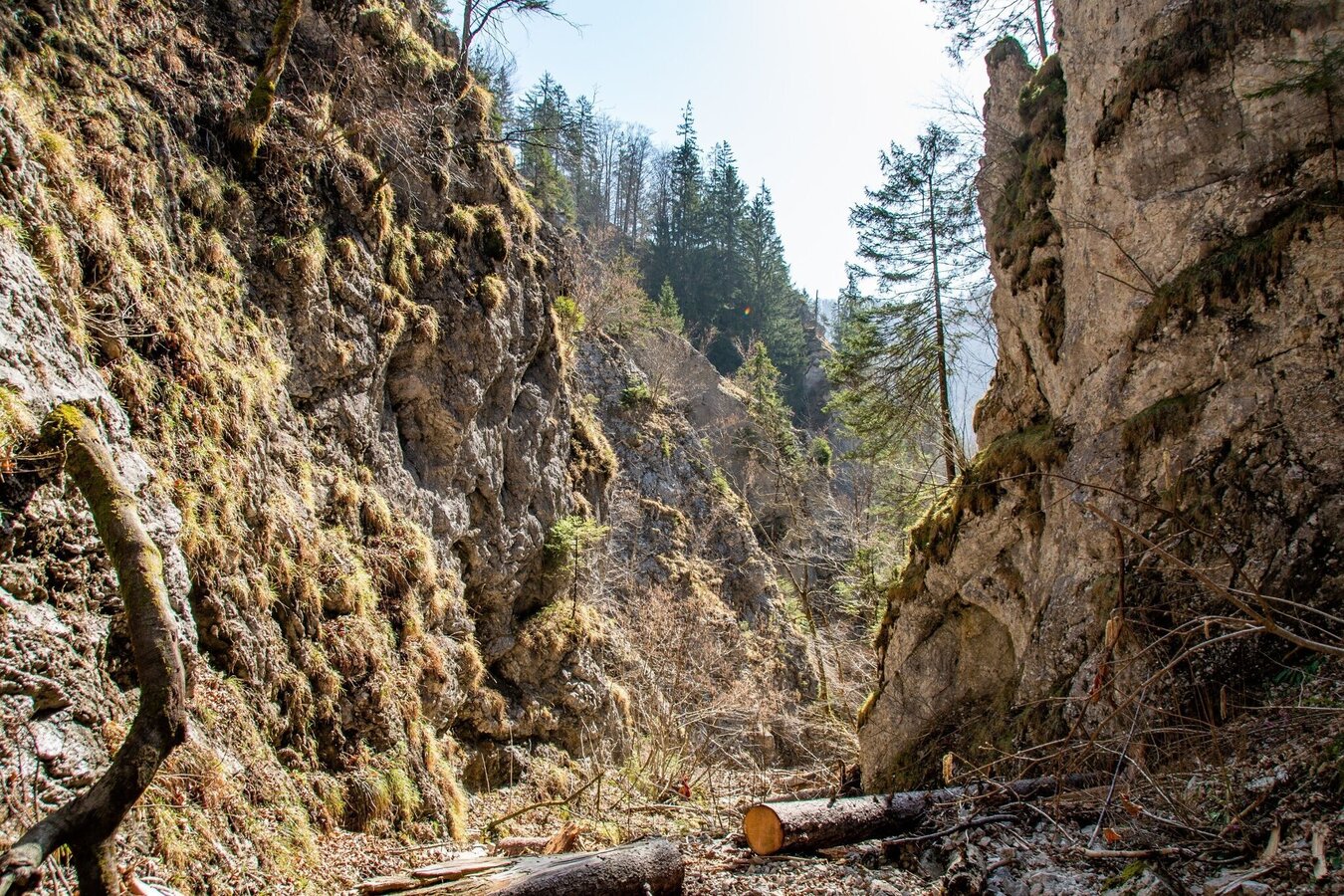
eingang in den Raffelgraben | © TV Gesäuse | Tourismusverband Gesäuse
7/12
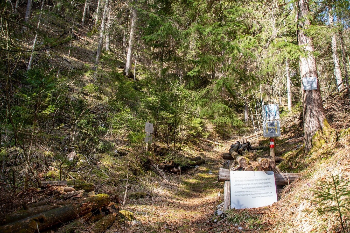
viel interessante Infos | © TV Gesäuse | Tourismusverband Gesäuse
8/12
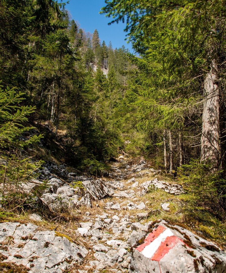
gut markierte Wege | © TV Gesäuse | Tourismusverband Gesäuse
9/12
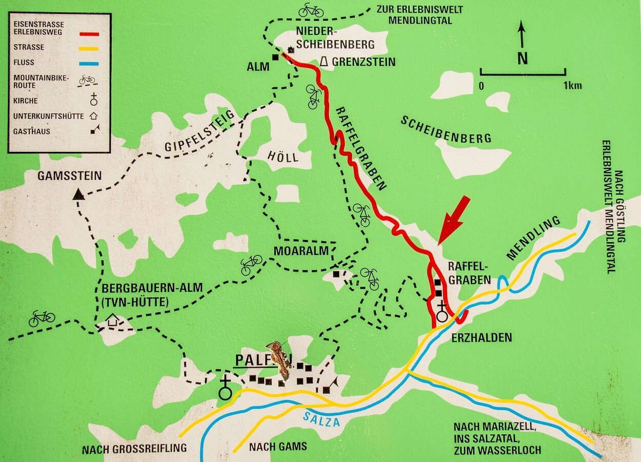
Optionen zum Kombinieren von mehreren Wegen | © TV Gesäuse | Tourismusverband Gesäuse
10/12
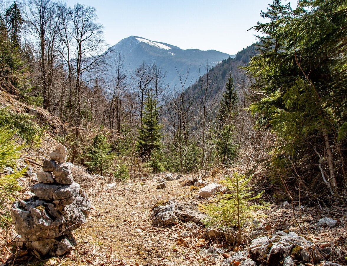
blick zurück | © TV Gesäuse | Tourismusverband Gesäuse
11/12
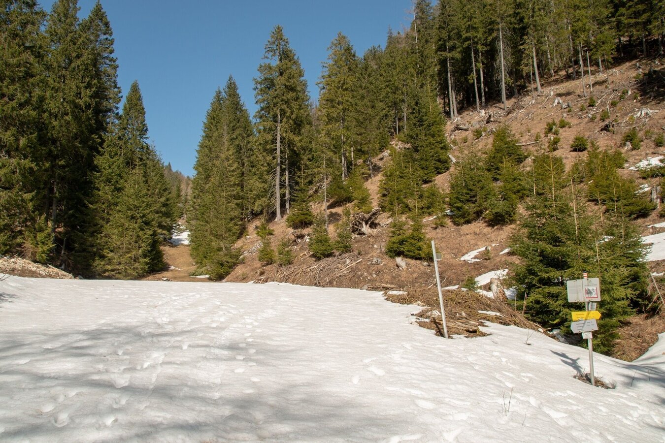
Umkehrpunkt, ab jetzt nur mehr Bergab am Forstweg | © TV Gesäuse | Tourismusverband Gesäuse
12/12

What the weather will be like Landl (522m)
Today, 23.09.2026
Dry and sunny throughout the day with hardly any clouds.Morning

6°C
sr.Regenwahrscheinlichkeit
0%
sr.Windstärke
5 km/h
Noon
16°C
sr.Regenwahrscheinlichkeit
0%
sr.Windstärke
5 km/h
Night
10°C
sr.Regenwahrscheinlichkeit
0%
sr.Windstärke
0 km/h
Tomorrow, 24.09.2026
Mostly cloudy through the day with a little sunshine and frequent rain.Morning

6°C
sr.Regenwahrscheinlichkeit
0%
sr.Windstärke
0 km/h
Noon

13°C
sr.Regenwahrscheinlichkeit
70%
sr.Windstärke
10 km/h
Night

10°C
sr.Regenwahrscheinlichkeit
75%
sr.Windstärke
5 km/h
Forecast
25.09.2026
7°C
18°C
26.09.2026
6°C
20°C
27.09.2026
6°C
23°C
