


Johnsbacher Almenrunde 404 - MTB
Characteristics
SkillThe tour in numbers
Level of difficulty
medium
Route
15,0 km
Time
2:20 h
Uphill
582 hm
Downhill
536 hm
Highest point
1397 m
The mountain bike route via the Johnsbacher Almenrunde serves up the highlights in gentle doses. Fascinating views, rustic forests and regional delicacies, nothing will be lacking on this bike tour. Since the routes can be varied according to fitness level, the Johnsbacher Almenrunde is especially something for families and all those who prefer a relaxed, leisurely tour.
You don't have to struggle up the highest mountain in the Gesäuse to experience the multifaceted richness of the National Park.
We recommend the following route: Ebneralm car park - Kölblalm - Huberalm - Ebneralm - Zeiringeralm - car park.
Best season
January
February
March
April
May
June
July
August
September
October
November
December
More information
A9 Phyrnautobahn to exit Ardning/Admont and from there past Frauenberg, approx. 10 km to Admont. Via the B146 (Gesäuse Bundesstraße) from the west into the Gesäuse.
At the Kölblwirt or at the end of the road at the Ebner car park in front of the Ebnerklamm gorge.
Or via Leoben, Vordernberg and Eisenerz to Hieflau and from there via B146 in a westerly direction into the Gesäuse.
A1 Westautobahn to exit Ybbs and from there south through Scheibbs, Lunz am See, Göstling an der Ybbs and Palfau to Hieflau. From there, take the B146 in a westerly direction to the Gesäuse.
At the Gesäusebundesstraße at the Weidendom turn off in the direction of Johnsbach. The tour starts at the Kölblwirt or at the end of the road at the Ebner car park.
At the Kölblwirt or at the end of the road at the Ebner car park in front of the Ebnerklamm gorge.
The starting point is the Ebnerkreuzung car park. As is typical for the Gesäuse, the tour begins with an ascent. In total, there are about 500 metres of altitude that you have to climb. Past whimsically carved wooden figures and Teufelsklamm (Devil's Gorge), the route leads to the first of three alpine pastures, the Kölblalm. Here, or later at Ebneralm or at the very latest Zeiringeralm, you should put your feet up, take a deep breath and simply enjoy these unique surroundings. The ancient huts are not only an attraction because of their unique alpine flair, but also have a lot to offer in terms of culinary delights. The homemade cakes or the farmer's doughnuts can elicit a pleasurable buzz from even the most haggard palate. So it can happen that the surprised hiker on the Johnsbacher Almenrunde sees not only chirping birds but also one or two warbling cyclists gliding down the mountain.
Mountain rescue emergency call: 140
Tip for emergency message - give answers to the six W questions: What happened? How many injured? Where did the accident happen (possibly GPS coordinates)? Who is reporting (callback number)? When did the accident happen? Weather at the scene of the accident?
A first aid kit is included in the rucksack as well as the mobile phone (Euro-emergency call 112), a repair kit, warm clothing, rain gear, light and sufficient food and drink.Gloves and glasses protect hands and eyes.
Maps or GPS are valuable orientation aids.
Always wear a helmet uphill and downhill!
Add the Relaxed Tour as an extra day to the Buchsteinrunde or Trans National Park as a sidekick!
Stop off at one of the many huts and at the end, don't miss the Kölblwirt!
From Hieflau or Admont take bus line 912 to the Gesäuse Kummerbrücke stop.
www.oebb.at
www.busbahnbim.at
Gesäuse Tourist Office
Hauptstraße 35,
8911 Admont, Austria
Tel. +43 (0) 3613 21160 10
Email: info@gesaeuse.at
www.gesaeuse.at
CYCLING IN THE NATIONAL PARK - WHAT TO LOOK OUT FOR
Cycling on the designated routes (see below)
Cycling at the times indicated at the starting point.
Cycling at inappropriate speeds
Cycling off the official cycling/MTB routes
Cycling outside the designated cycling times at the starting point.)
Carto.at / Wander-, Rad- & Schitourenkarte „Nationalpark Gesäuse“Gesäuseberge – Haller Mauern – Eisenerzer Alpen West, Nr. 801M 1: 35.000 http://www.carto.at/gesaeuse/
Kompass/ Wander-, Fahrrad- & Schitourenkarte „Nationalpark Gesäuse“, Nr. 206
M 1 : 25.000 http://www.kompass.de/touren-und-regionen/wanderkarte/dest/100148-alpenregion-nationalpark-gesaeuse/
Alpenvereinskarte „Gesäuse und Ennstaler Alpen“, Blatt 16, M 1 : 25.000
http://www.freytagberndt.com/shop/9783928777346-alpenvereinskarte-16-ennstaler-alpen-gesaeuse/
Map & downloads
Gallery
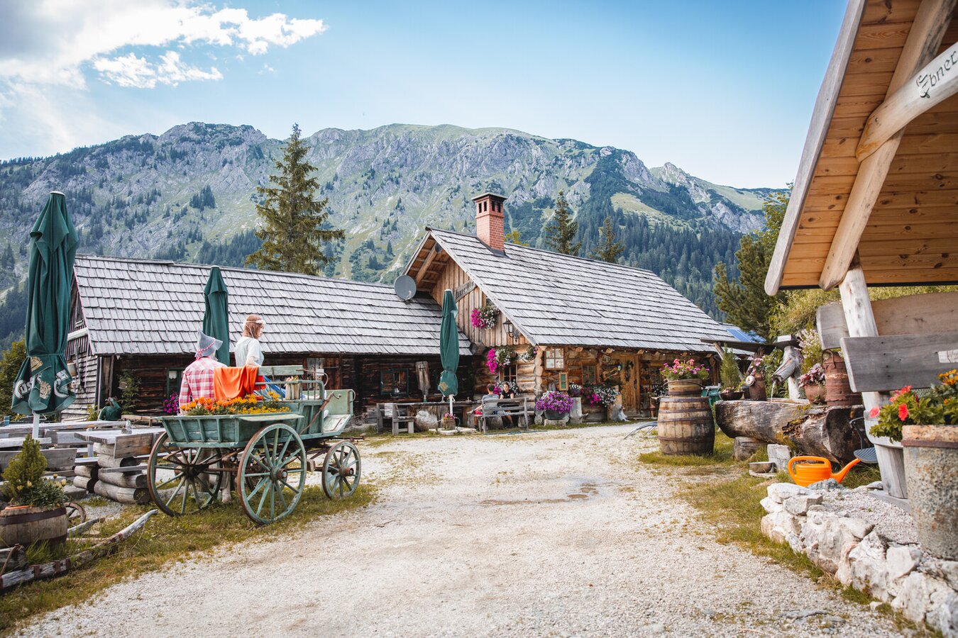
Ebneralm entlang der Almenrunde | © TV Gesäuse | Thomas Sattler
1/16
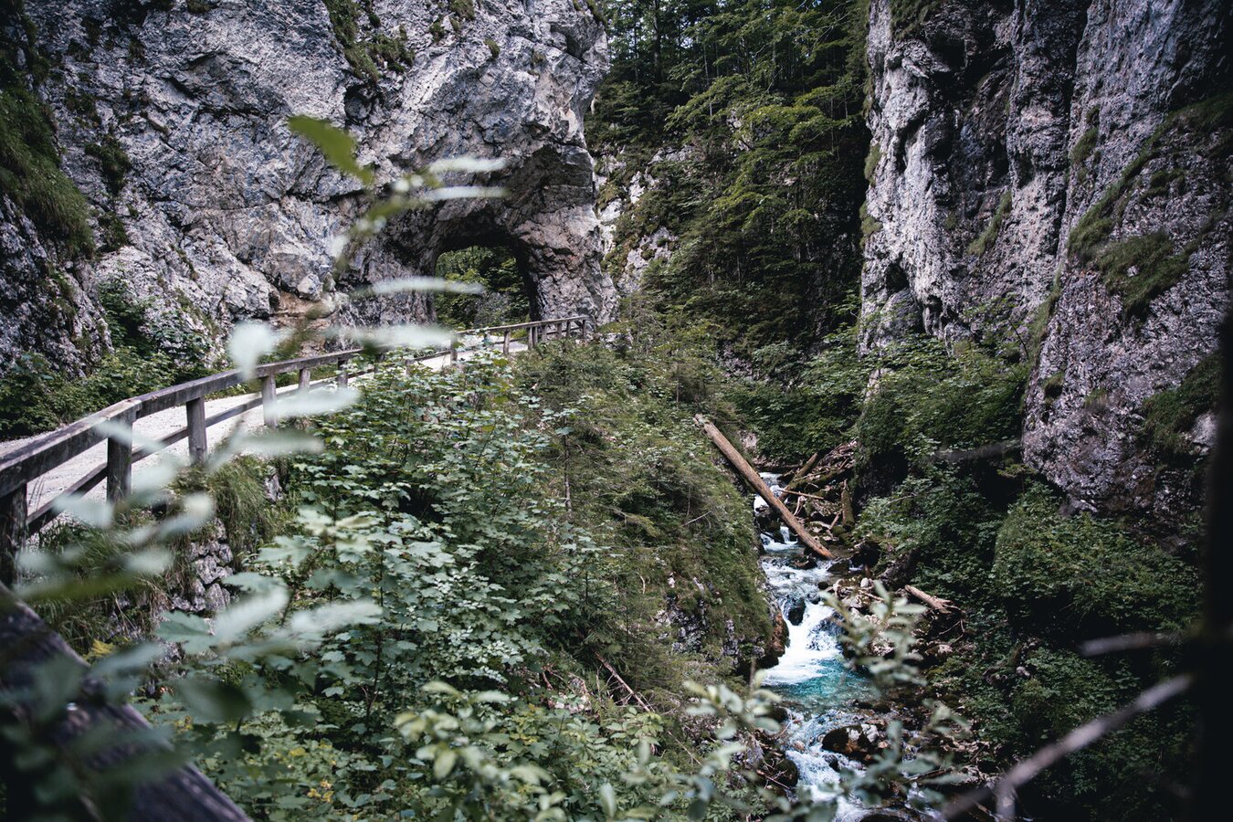
Durch die Teufelsklamm in Johnsbach | © TV Gesäuse | Thomas Sattler
2/16
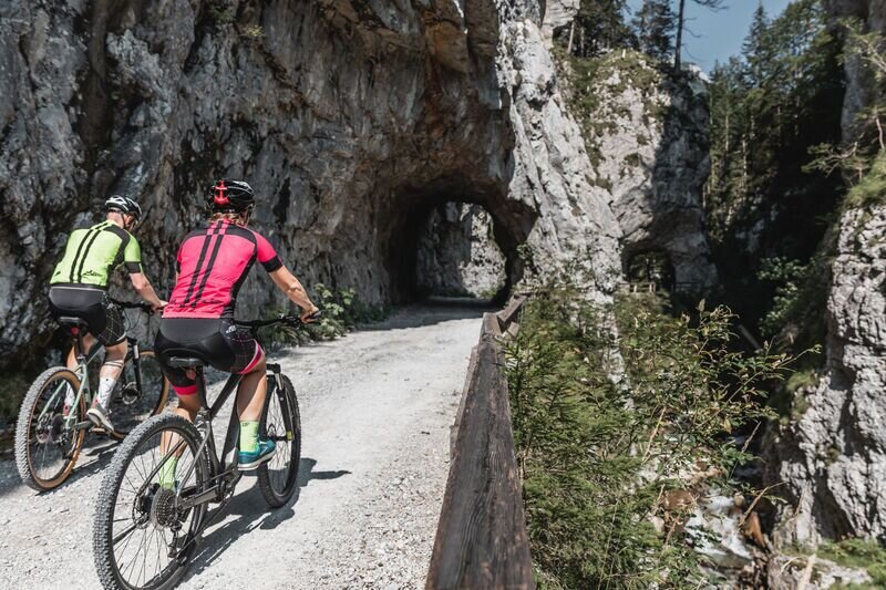
Ebnerklamm | © TV Gesäuse | Tourismusverband Gesäuse
3/16
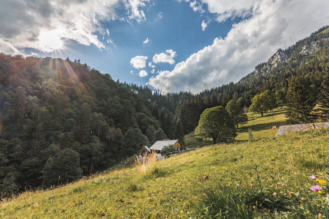
Kölblalm, eine der ältesten Almen der Steiermark | © TV Gesäuse | Thomas Sattler
4/16
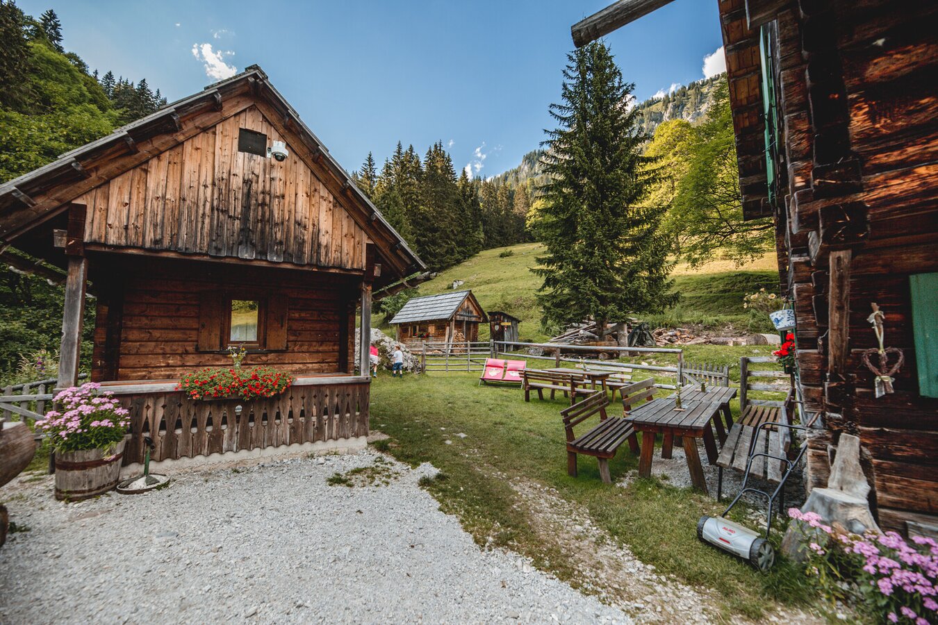
Kölblalm | © TV Gesäuse | Thomas Sattler
5/16
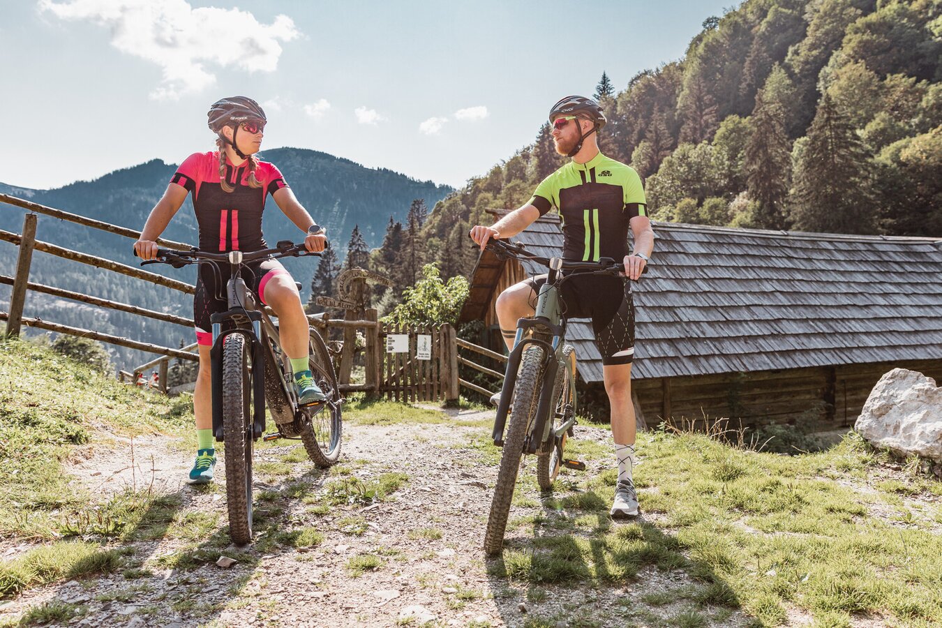
Weiter geht´s zur nächsten Alm | © TV Gesäuse | Thomas Sattler
6/16
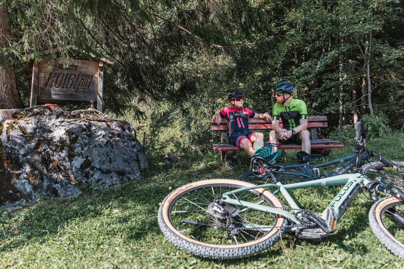
Rastplatz mit Aussicht in die Gesäuse Bergwelt | © TV Gesäuse | Thomas Sattler
7/16
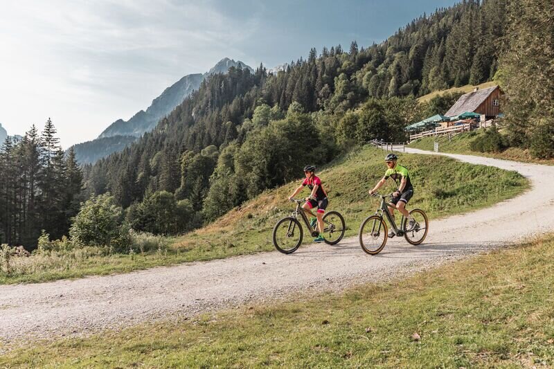
am Ende der Runde nach der Zeiringeralm | © TV Gesäuse | Tourismusverband Gesäuse
8/16
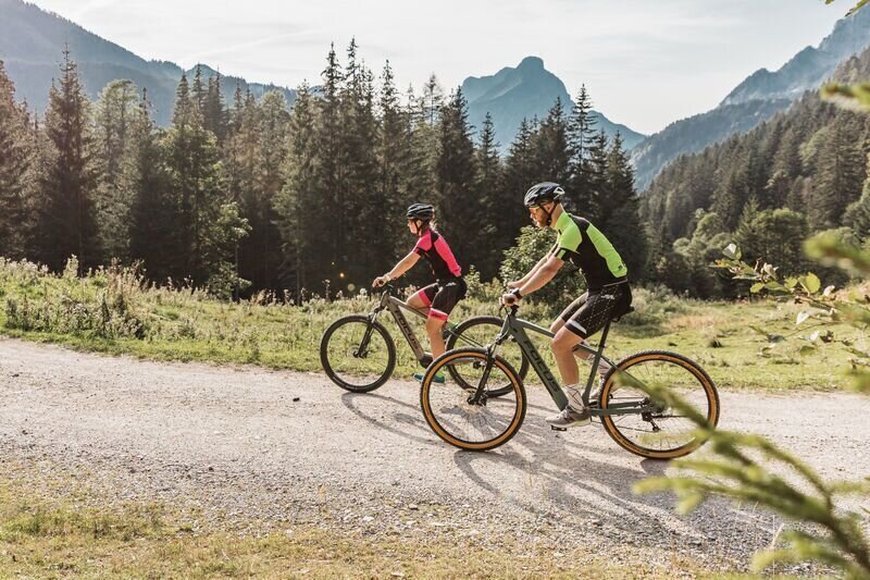
Forstwege mit herrlicher Aussicht | © TV Gesäuse | Tourismusverband Gesäuse
9/16
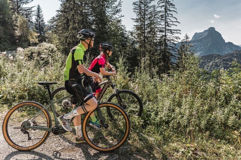
Forstwege mit herrlicher Aussicht | © TV Gesäuse | Tourismusverband Gesäuse
10/16
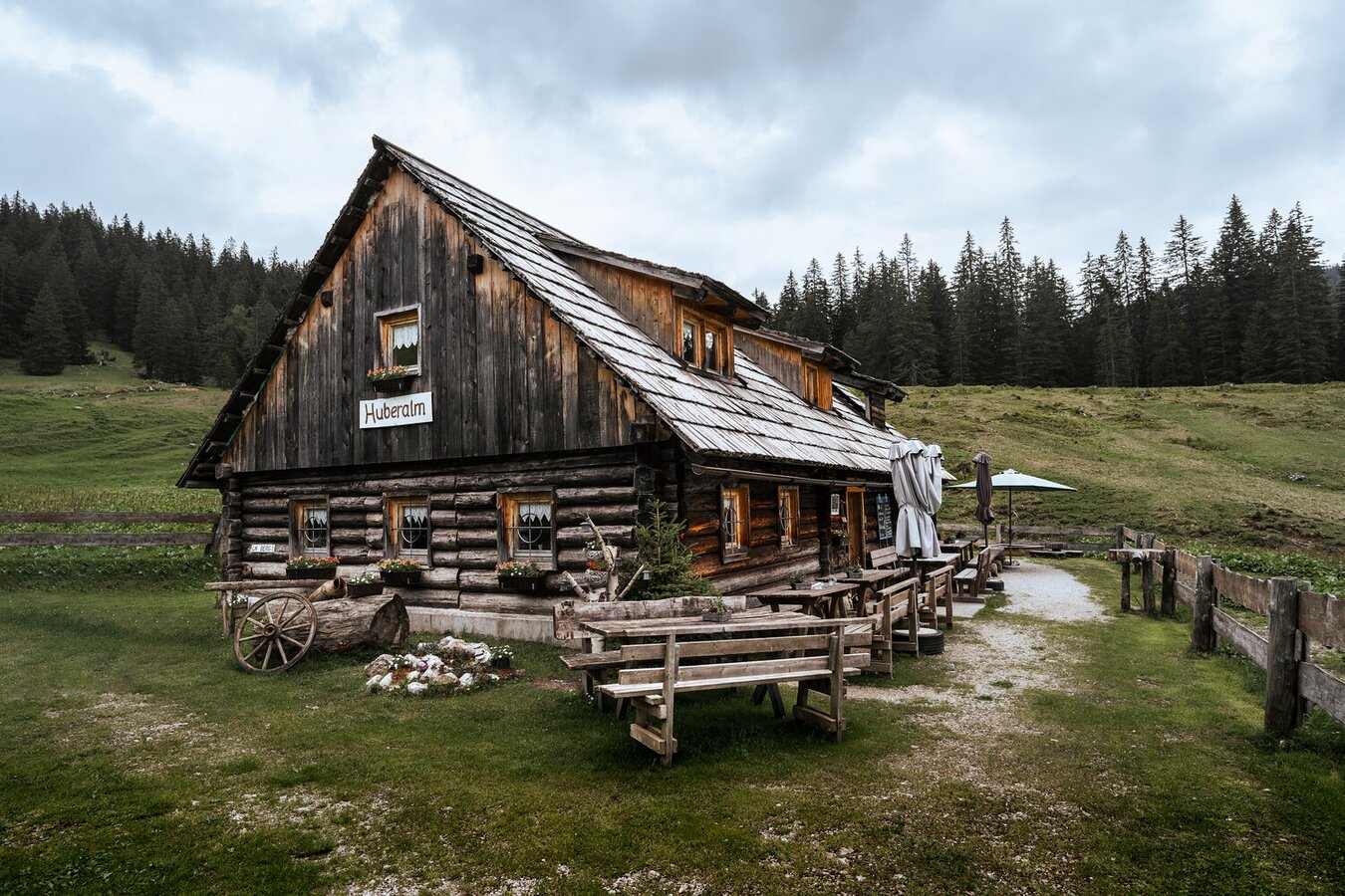
Huberalm | © TV Gesäuse | Thomas S
11/16
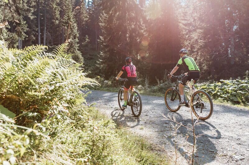
wunderbare Natur | © TV Gesäuse | Tourismusverband Gesäuse
12/16
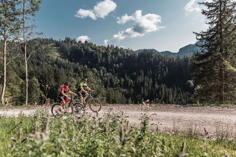
Forstwege mit herrlicher Aussicht | © TV Gesäuse | Tourismusverband Gesäuse
13/16
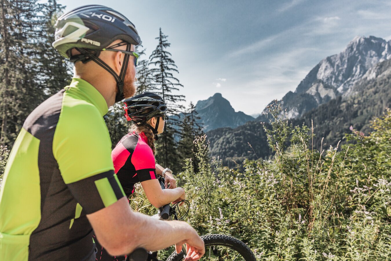
Bergwelt im Nationalpark Gesäuse | © TV Gesäuse | Thomas Sattler
14/16
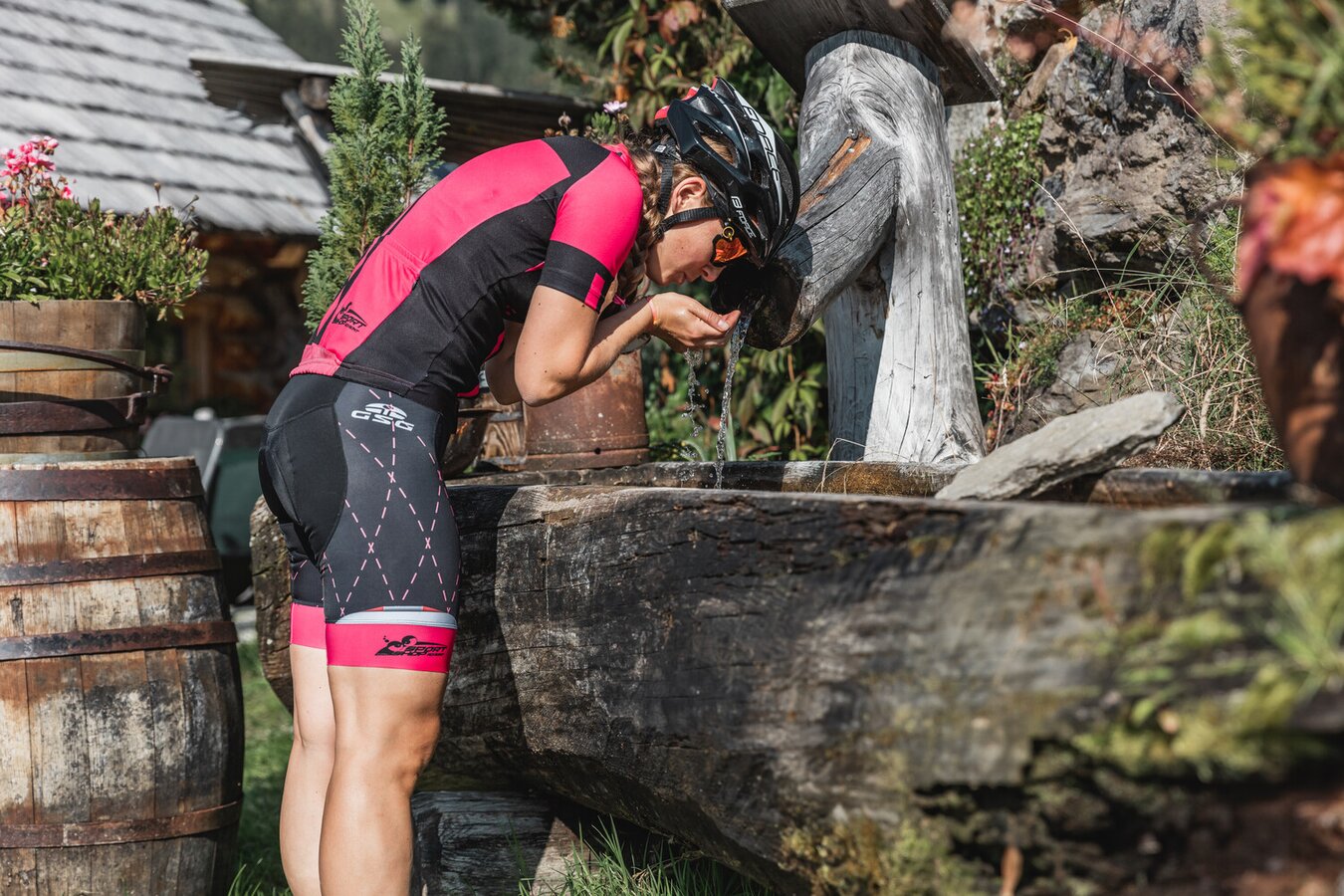
Klares Bergwasser aus dem Gesäuse | © TV Gesäuse | Thomas Sattler
15/16
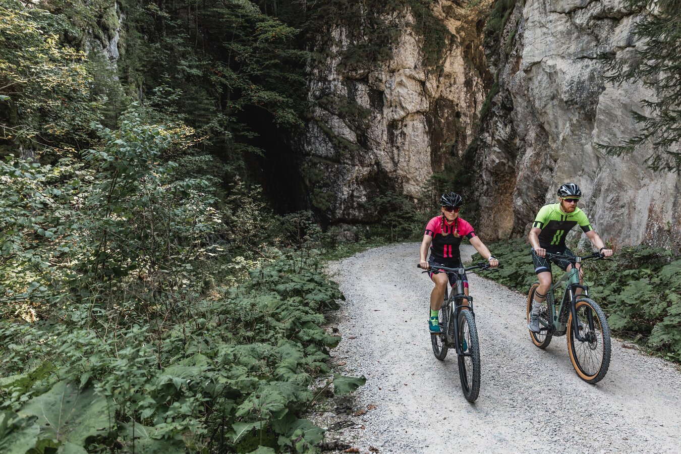
Johnsbacher Almenrunde | © TV Gesäuse | Thomas Sattler
16/16

What the weather will be like Admont (635m)
Today, 15.10.2026
Early clouds will clear to leave the region with a dry and sunny day.Morning

7°C
sr.Regenwahrscheinlichkeit
0%
sr.Windstärke
0 km/h
Noon

16°C
sr.Regenwahrscheinlichkeit
0%
sr.Windstärke
5 km/h
Night

9°C
sr.Regenwahrscheinlichkeit
0%
sr.Windstärke
5 km/h
Tomorrow, 16.10.2026
Some clouds in the morning, lateron much sunshine and hardly any cloudsMorning
6°C
sr.Regenwahrscheinlichkeit
0%
sr.Windstärke
0 km/h
Noon
16°C
sr.Regenwahrscheinlichkeit
0%
sr.Windstärke
0 km/h
Night
8°C
sr.Regenwahrscheinlichkeit
0%
sr.Windstärke
0 km/h
Forecast
17.10.2026
4°C
17°C
18.10.2026
7°C
17°C
19.10.2026
5°C
18°C
