


Frauenberg Walk
Accessible by public transport- Public bus (within 15 minutes walking distance from starting point)
Characteristics
SkillThe tour in numbers
Level of difficulty
easy
Route
3,0 km
Uphill
127 hm
Downhill
128 hm
Highest point
768 m
We walk around the Frauenberg pilgrimage church and enjoy the serene views stretching from the Grimming to the Gesäuse
A short and easy loop around Frauenberg
Best season
January
February
March
April
May
June
July
August
September
October
November
December
More information
We set off counterclockwise from the Frauenberg natural swimming pond. The first few meters lead downhill on asphalt before we turn left onto the forest trail—the old road to Frauenberg. At the next fork in the trail, we keep to the left, and from here on, the forest trail climbs gently. It’s worth looking back, as the Grimming mountain shines out across the Enns Valley. After just about 200 meters, we reach the start of the Bettlersteig (Trail No. 01a). This is the first route to the Frauenberg pilgrimage church and leads steeply uphill directly to the church. However, at the “Frauenberg Rundweg” sign, we stay on Trail 01 for now and continue along the forest trail. The turnoff to Kalvarienberg (No. 1b) offers the next opportunity to reach the parking lot and continue on to the church. But we want to circle Frauenberg completely, so we stay on the forest trail. We don’t let the barrier ahead deter us; instead, immediately afterward, at the easternmost point of the loop, we turn onto the idyllic forest path. Following the sunken path, we pass a hidden chapel and slowly but surely make our way up to Frauenberg. The trail takes us past an impressive oak tree to the road leading toward the pilgrimage church. Now, however, it makes sense to follow Trail No. 1c and, of course, visit the Frauenberg pilgrimage church, which is visible from afar. We’ll take the same route back from the church to this point. We complete the loop by now heading toward the cross
Sturdy shoes and enough water
Actually, the mountain on which the pilgrimage church stands is called “Kulm.” But colloquially, everyone refers to it as Frauenberg when they mean the hill in the Enns Valley that’s visible from afar ...
Gesäuse Tourism Association
Hauptstraße 35, 8911 Admont, Austria
t: +43 3613 2116010
www.gesaeuse.at
Email: info@gesaeuse.at
Hauptstraße 35, 8911 Admont, Austria
t: +43 3613 2116010
www.gesaeuse.at
Email: info@gesaeuse.at
Map & downloads
Gallery
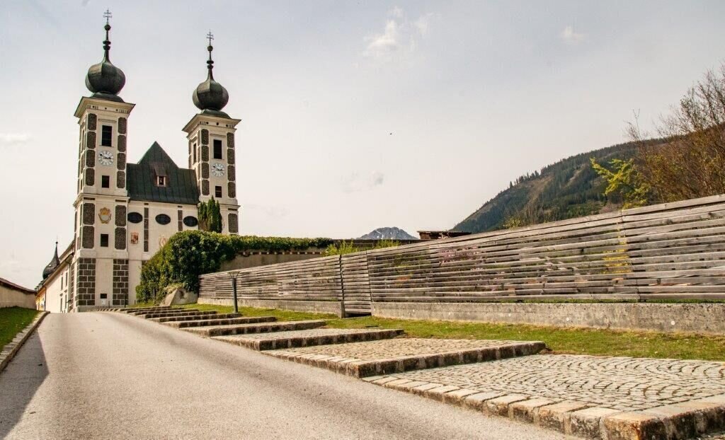
Frauenberg | © TV Gesäuse | Tourismusverband Gesäuse
1/4
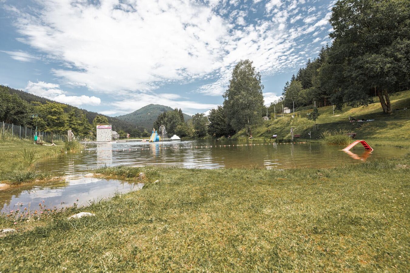
Naturbad in Frauenberg | © Thomas Sattler | Thomas Sattler
2/4

wallfahrtskirche_frauenberg_c-juergen_hofmann_stift_admont_5.jpg | © Jürgen Hofmann - Stift Admont | Jürgen Hofmann - Stift Admont
3/4
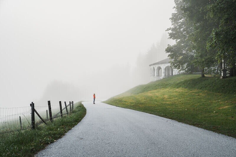
frauenberg_c-christoph_lukas_1-web.jpg | © Christoph Lukas |
4/4

What the weather will be like Ardning (664m)
Today, 15.10.2026
Early clouds will clear to leave the region with a dry and sunny day.Morning

6°C
sr.Regenwahrscheinlichkeit
5%
sr.Windstärke
0 km/h
Noon

16°C
sr.Regenwahrscheinlichkeit
0%
sr.Windstärke
5 km/h
Night

9°C
sr.Regenwahrscheinlichkeit
0%
sr.Windstärke
0 km/h
Tomorrow, 16.10.2026
Dry and sunny throughout the day with hardly any clouds.Morning
4°C
sr.Regenwahrscheinlichkeit
0%
sr.Windstärke
0 km/h
Noon
16°C
sr.Regenwahrscheinlichkeit
0%
sr.Windstärke
0 km/h
Night
8°C
sr.Regenwahrscheinlichkeit
0%
sr.Windstärke
0 km/h
Forecast
17.10.2026
3°C
16°C
18.10.2026
6°C
16°C
19.10.2026
5°C
17°C
