


DETOUR 07 Admonterhaus – Rohrauerhaus, Gesäuse hut loop
Characteristics
SkillThe tour in numbers
Level of difficulty
medium
Route
16,3 km
Time
6:00 h
Uphill
713 hm
Downhill
1119 hm
Highest point
1717 m
The unknown side of the Gesäuse: Descent from the Admonterhaus to Hall and ascent via a detour route to the Rohrauerhaus
Of course there is always an easier way on every mountain. With more than 500 km of hiking trails and one of the highest densities of mountain huts in the Eastern Alps, nothing stands in the way of a hiking experience lasting several days in the only Styrian National Park. The whole Gesäuse in one go is best experienced on the Gesäuse Hut Tour. From hut to hut and even completely flexible (no fixed places to stay overnight, numerous variations and completely mobile without your own car), the alpine Gesäuse is more beautiful than ever to hike.
Best season
January
February
March
April
May
June
July
August
September
October
November
December
More information
Parking facilities are available at the respective starting points, which are subject to a charge, especially in the Gesäuse National Park area.
Tip: Please leave a note in your car with your telephone number and the date of your return together with a note that you are on the Gesäuse Hüttenrunde for several days. The mountain rescue service will thank you!
From the Admonter Haus follow the path back south until you reach the first junction. There you turn towards Klosterweg (no. 633) and descend the steeper path to Hall over a wild meadow and through a beech forest.After the public swimming pool you will come to Haller Straße where you turn north (right). After about 200 meters you come to a junction where you turn left into Kirchweg. Through a small settlement and past extensive meadows, you reach a piece of forest through which you pass the Alpenheim and reach Mühlau. Passing the electricity plant of Admont you come to a parking lot with a chapel. Follow the long-distance hiking trail no. 601, then pass a railway gate and follow the forest road (no. 601) past the Pyhrgasgatterl to the Rohrauerhaus.
Mountain rescue emergency call: 140
From a technical point of view, the Gesäuse hut circular hiking trail has moderate difficulties, which are no problem for the sure-footed and experienced mountain hiker. All the stages run on mountain paths with red dots, which means that they are classified as moderately difficult hiking trails according to the classification of the Austrian Alpine Club. However, you should have a certain amount of mountain experience for the Gesäuse Hüttenrundwanderweg, as you will be hiking in mountains with altitudes up to 1,850 m.
For the Gesäuse hut tour, "normal" equipment for alpine hikes on unpaved paths is completely sufficient. In any case, we recommend sturdy shoes and telescopic walking sticks to take the strain off the knees on the sometimes longer descents. For all refuges along the trail you should also bring a sleeping bag and a towel. Since the huts where you will be staying overnight on your trail trip are very remote and high up in the mountains and cannot be reached by the luggage shuttle, we cannot offer any luggage transport for the Gesäuse Hut Tour. We therefore recommend that you pack your rucksack sparingly and only take what is really necessary with you to the Gesäuse Hüttenrunde. It can be quite liberating to be on the way without luxury!
It is recommended to contact the Trail Info & Booking Centre before booking.
Offers at: www.bookyourtrail.com/trail/gesaeuse-huettenrundwanderweg
In the Gesäuse you are mobile even without your own car
One call to t: +43 3613 21 000 99 is enough: During operating times, you can take the Gesäuse Sammeltaxi to any destination in the Gesäuse, without any timetable or stops.
Further information & operating times
Timetable inquiry at www.oebb.at or www.busbahnbim.at
www.bookyourtrail.com/trail/gesaeuse-huettenrundwanderweg
www.gesaeuse.at
carto.at / Wander-, Rad- & Schitourenkarte „Nationalpark Gesäuse“Gesäuseberge – Haller Mauern – Eisenerzer Alpen West, Nr. 801
M 1: 35.000 http://www.carto.at/gesaeuse/
Kompass/ Wander-, Fahrrad- & Schitourenkarte „Nationalpark Gesäuse“, Nr. 206
M 1 : 25.000 http://www.kompass.de/touren-und-regionen/wanderkarte/dest/100148-alpenregion-nationalpark-gesaeuse/
Alpenvereinskarte „Gesäuse und Ennstaler Alpen“, Blatt 16, M 1 : 25.000 http://www.freytagberndt.com/shop/9783928777346-alpenvereinskarte-16-ennstaler-alpen-gesaeuse/
Map & downloads
Gallery
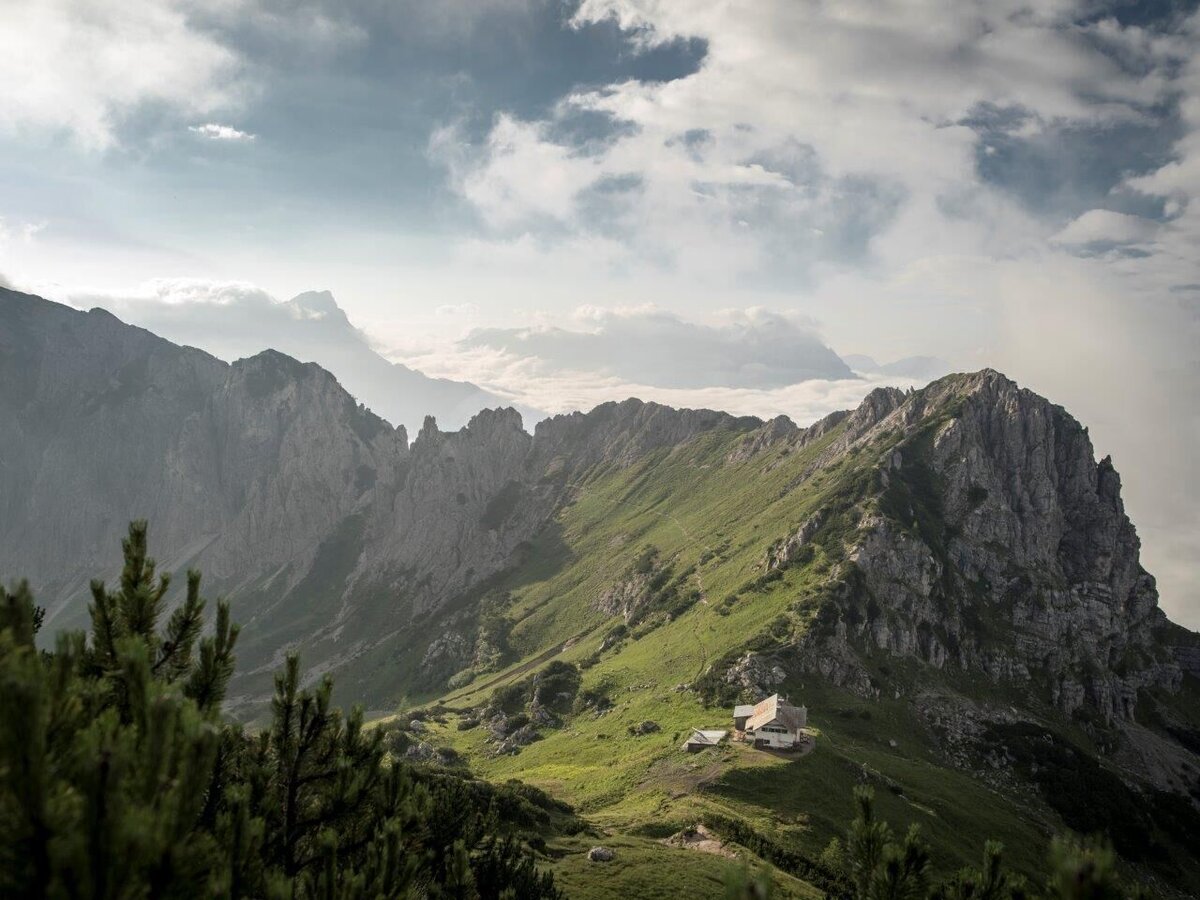
Admonterhaus | © TV Gesäuse | Tourismusverband Gesäuse
1/7
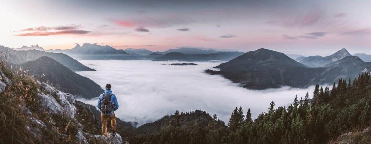
Auf dem Weg nach Hall | © TV Gesäuse | Tourismusverband Gesäuse
2/7
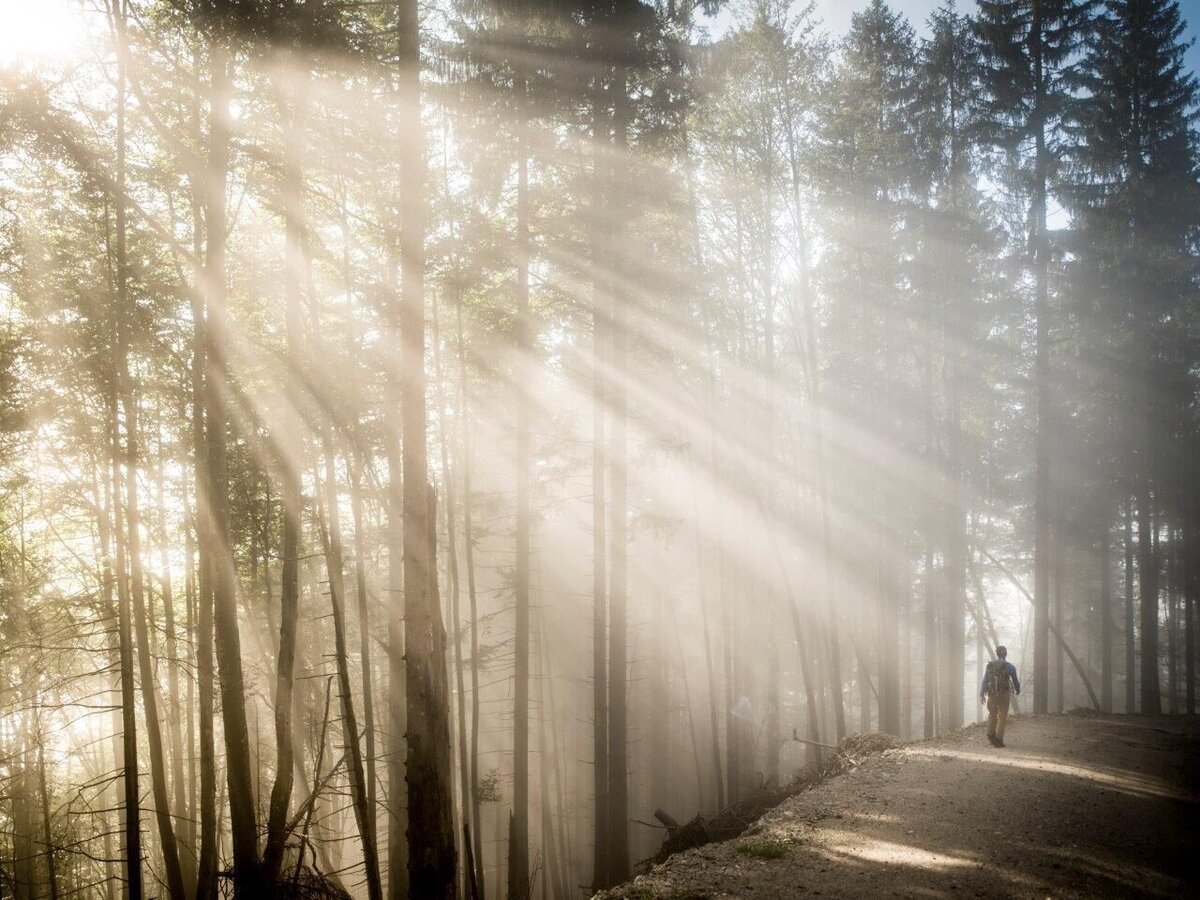
Die letzten Meter nach Hall | © TV Gesäuse | Tourismusverband Gesäuse
3/7
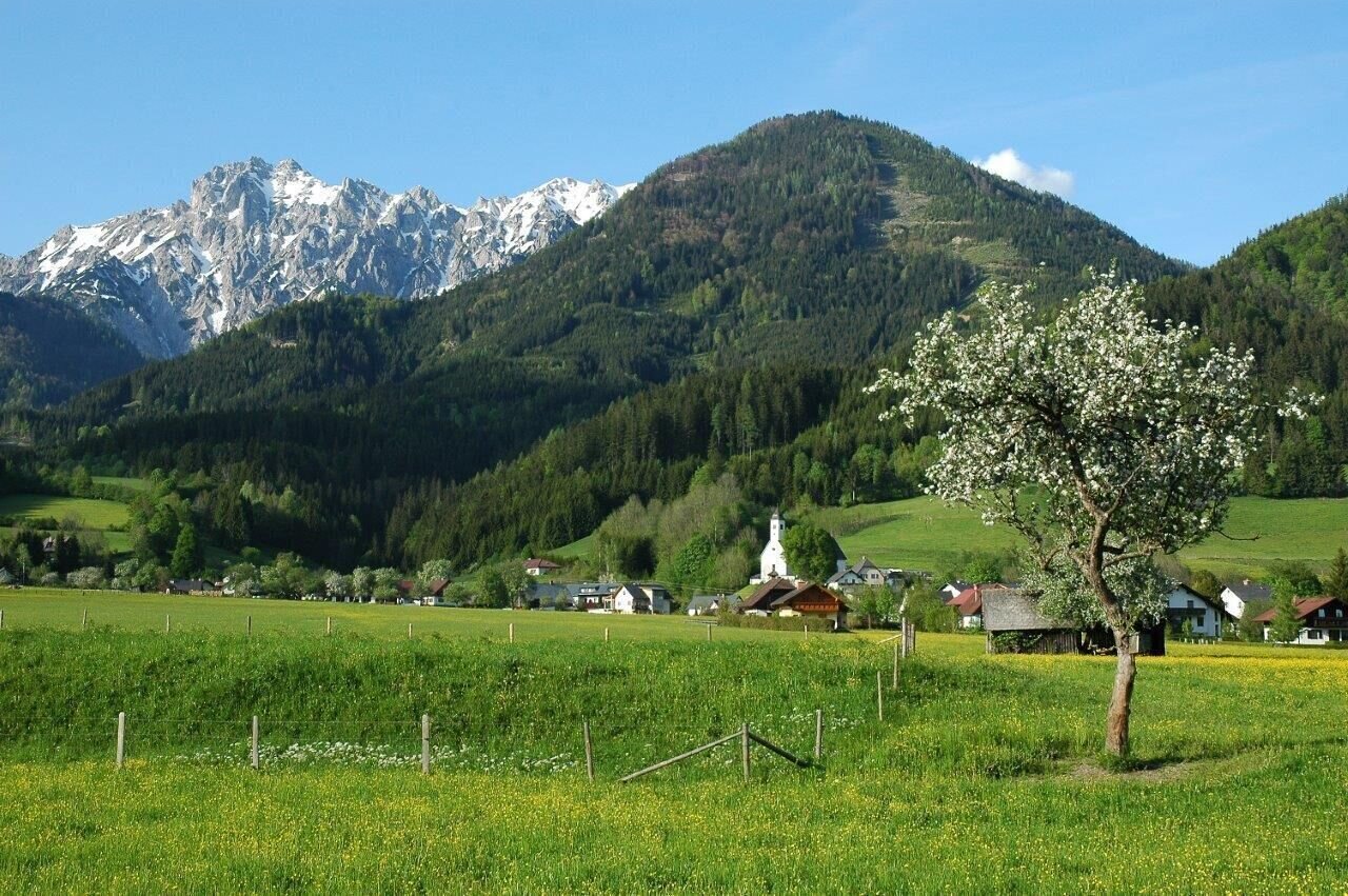
Das Dorf Hall | © TV Gesäuse | Tourismusverband Gesäuse
4/7
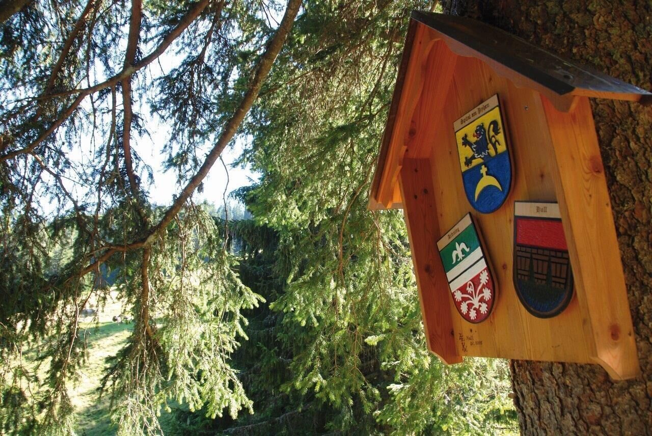
Pyhrgasgatterl_hier treffen 3 Gemeinden zusammen | © TV Gesäuse | Tourismusverband Gesäuse
5/7
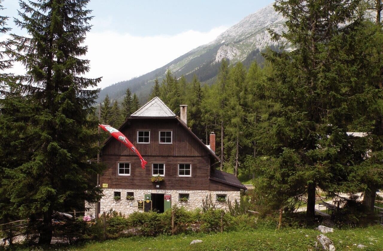
Rohrauerhaus | © TV Gesäuse | Tourismusverband Gesäuse
6/7
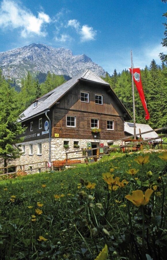
Rohrauerhaus_darüber Großer Pyhrgas | © TV Gesäuse | Tourismusverband Gesäuse
7/7

What the weather will be like St. Gallen (509m)
Today, 13.10.2026
Dry and sunny throughout the day with hardly any clouds.Morning

2°C
sr.Regenwahrscheinlichkeit
0%
sr.Windstärke
0 km/h
Noon
12°C
sr.Regenwahrscheinlichkeit
0%
sr.Windstärke
5 km/h
Night
6°C
sr.Regenwahrscheinlichkeit
0%
sr.Windstärke
0 km/h
Tomorrow, 14.10.2026
The rain will end in the early afternoon, and the skies will break up afterwards.Morning

6°C
sr.Regenwahrscheinlichkeit
70%
sr.Windstärke
0 km/h
Noon
13°C
sr.Regenwahrscheinlichkeit
70%
sr.Windstärke
5 km/h
Night

9°C
sr.Regenwahrscheinlichkeit
50%
sr.Windstärke
0 km/h
Forecast
15.10.2026

6°C
16°C
16.10.2026
4°C
17°C
17.10.2026

3°C
15°C
