


Anlaufalm - Connection Hintergebirgsradweg
Accessible by public transport- Train (within 15 minutes walking distance from starting point)
Characteristics
SkillThe tour in numbers
Level of difficulty
medium
Route
47,1 km
Time
5:30 h
Uphill
1549 hm
Downhill
1540 hm
Highest point
980 m
“Cross-border” MTB tour from St. Gallen in Styria to the Anlaufalm in Upper Austria
From Weissenbach, St. Gallen, via the Pfarreralmweg to Unterlaussa—and you’ve already joined the Hintergebirgsradweg, with the path to the Anlaufalm now clear! The route takes eager cyclists along idyllic forest trails, following in the footsteps of the Waldbahn. Impressive tunnels still bear witness today to the old railroad line that carved its way between the cliffs and the river. Numerous climbs and descents make this tour a varied experience amid cliffs, rivers, and culinary delights.
Best season
January
March
March
April
May
June
July
August
September
October
November
December
More information
From Weißenbach an der Enns, the first few kilometers lead uphill along the R7 bike path toward Sankt Gallen. Immediately after the town center, we turn right. Numerous signs at the intersection point out the attractive (hiking) opportunities. We cross the small hill in the residential area and cross the Spitzenbach—which gives its name to the gorge further upstream. We keep to the right and follow the Pfarreralmweg, which takes us to Unterlaussa without any significant intersections. We’ve conquered the first major climb—and the next one follows right away. We ride through the village for about 300 meters and then immediately keep to the right again, following the signs toward Mooshöhe. At Mooshöhe (848 m above sea level), the Mooshöhe snack bar offers a light refreshment—it’s best to check their information in advance. Your efforts so far are rewarded with a descent. This is also necessary to tackle the day’s final major climb! There, at the turning point of the tour, the Anlaufalm awaits with its magnificent view, delicious hut specialties, and lush alpine meadows! But be careful while enjoying the cozy get-together—the return trip along the same route also offers a fair amount of elevation gain and opens up new perspectives!
Fair Play Rules for Mountain Bikers
Mountain biking is an exciting sporting and nature experience!
It’s easy to get so caught up in the moment that you forget everything around you.
But be careful—after all, you’re not the only one on the trails!
Riding sensibly and considerately ensures a safe and accident-free mountain biking experience.
A few simple rules help prevent conflicts from arising in the first place.
Cycling and mountain biking in the Gesäuse National Park are permitted only from April 15 through October 31, from 2 hours after sunrise until 1 hour before sunset!
Riding is permitted exclusively on approved and marked trails!
Riding bans and closures also apply to mountain bikers.
Be considerate of other nature enthusiasts!
Approach hikers or horseback riders slowly and use your bell if necessary.
Avoid unnecessary noise and be considerate of the animals.
This also means riding only during daylight hours.
Mountain bikers are guests in the forest—behave respectfully toward landowners, foresters, and hunters.
Approach grazing livestock at a walking pace to avoid causing the animals to panic.
Important: After passing through, all pasture gates must be closed!
A first-aid kit belongs in your backpack, along with a cell phone (European emergency number 112), a repair kit, warm clothing, rain gear, a light, and plenty of food and drink. Gloves and goggles protect your hands and eyes. Maps or a GPS are valuable tools for navigation. Always wear a helmet when going uphill or downhill!
Mountain biking is an exciting sporting and nature experience!
It’s easy to get so caught up in the moment that you forget everything around you.
But be careful—after all, you’re not the only one on the trails!
Riding sensibly and considerately ensures a safe and accident-free mountain biking experience.
A few simple rules help prevent conflicts from arising in the first place.
Cycling and mountain biking in the Gesäuse National Park are permitted only from April 15 through October 31, from 2 hours after sunrise until 1 hour before sunset!
Riding is permitted exclusively on approved and marked trails!
Riding bans and closures also apply to mountain bikers.
Be considerate of other nature enthusiasts!
Approach hikers or horseback riders slowly and use your bell if necessary.
Avoid unnecessary noise and be considerate of the animals.
This also means riding only during daylight hours.
Mountain bikers are guests in the forest—behave respectfully toward landowners, foresters, and hunters.
Approach grazing livestock at a walking pace to avoid causing the animals to panic.
Important: After passing through, all pasture gates must be closed!
A first-aid kit belongs in your backpack, along with a cell phone (European emergency number 112), a repair kit, warm clothing, rain gear, a light, and plenty of food and drink. Gloves and goggles protect your hands and eyes. Maps or a GPS are valuable tools for navigation. Always wear a helmet when going uphill or downhill!
Tourismusverband Gesäuse
Hauptstraße 35, 8911 Admont, Österreich
t: +43 3613 2116010
www.gesaeuse.at
Email: info@gesaeuse.at
Map & downloads
Gallery
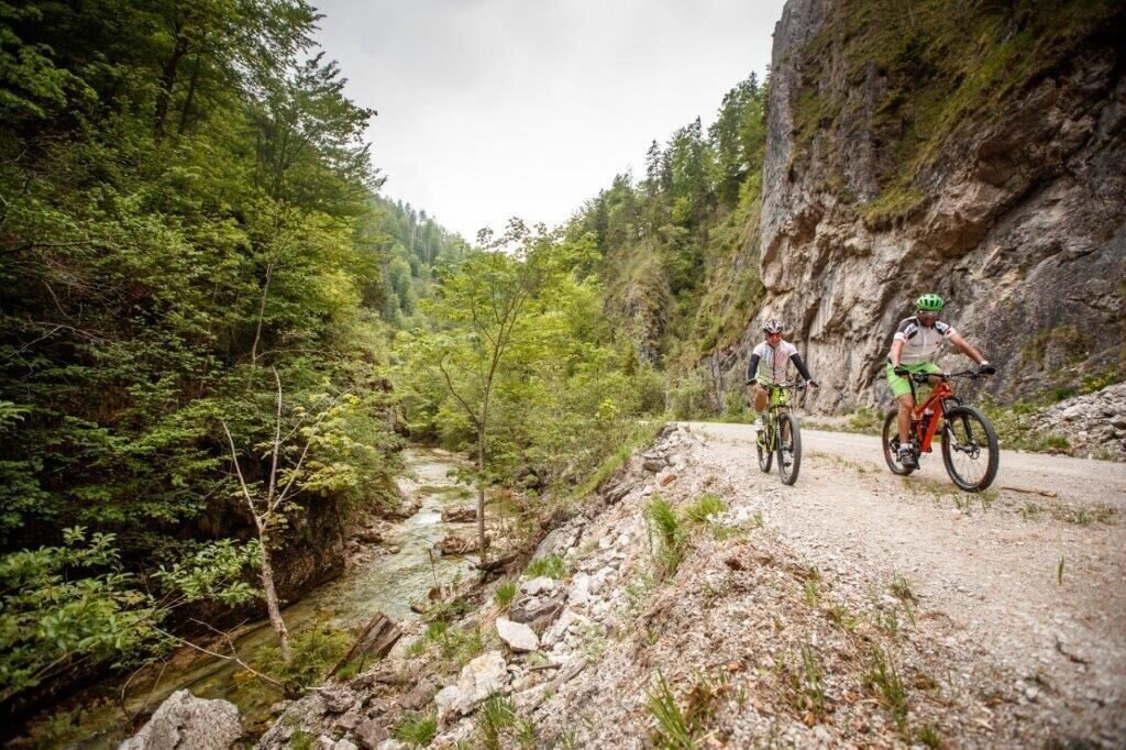
Waldbahn Reichraminger Hintergebirge ET 6 | © TV Gesäuse | Tourismusverband Gesäuse
1/3
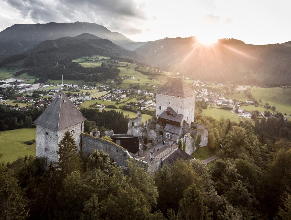
Blick auf St. Gallen | Stefan Leitner
2/3
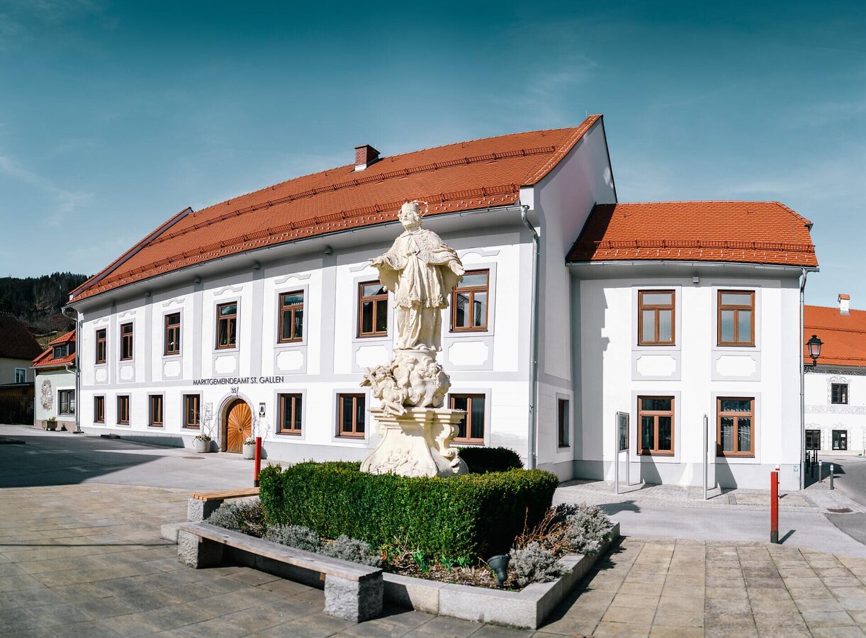
Marktgemeindeamt St. Gallen | © www.stefanleitner.com | Stefan Leitner
3/3

What the weather will be like St. Gallen (509m)
Today, 29.09.2026
Dry and sunny throughout the day with hardly any clouds.Morning

10°C
sr.Regenwahrscheinlichkeit
0%
sr.Windstärke
10 km/h
Noon
22°C
sr.Regenwahrscheinlichkeit
0%
sr.Windstärke
10 km/h
Night
14°C
sr.Regenwahrscheinlichkeit
0%
sr.Windstärke
10 km/h
Tomorrow, 30.09.2026
Dry and sunny throughout the day with hardly any clouds.Morning
7°C
sr.Regenwahrscheinlichkeit
0%
sr.Windstärke
5 km/h
Noon
23°C
sr.Regenwahrscheinlichkeit
0%
sr.Windstärke
10 km/h
Night
14°C
sr.Regenwahrscheinlichkeit
0%
sr.Windstärke
10 km/h
Forecast
01.10.2026
7°C
23°C
02.10.2026

6°C
21°C
03.10.2026
5°C
22°C
