


Peaks and alpine pastures south of the Enns
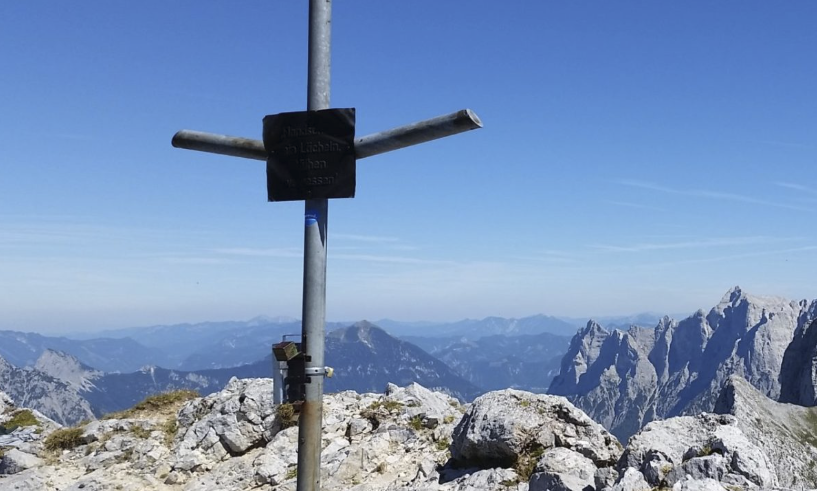
Sparafeld 2.248 m
Summit visible from Haus Gassner!
- Ascent from the Klinke hut via the normal route and the Kaibling plateau or
- via Kreuzmauer and Riffel! (circular route to the Klinke hut possible)
- Northern ascent via the Goferhütte (unmarked!)
Kalbling 2.196 m
Summit visible from Haus Gassner!
- Ascent from the Klinke hut via the normal route or
via Kreuzmauer and Riffel! Circular route to the Klinke hut possible!
Further hike to Sparafeld is possible!
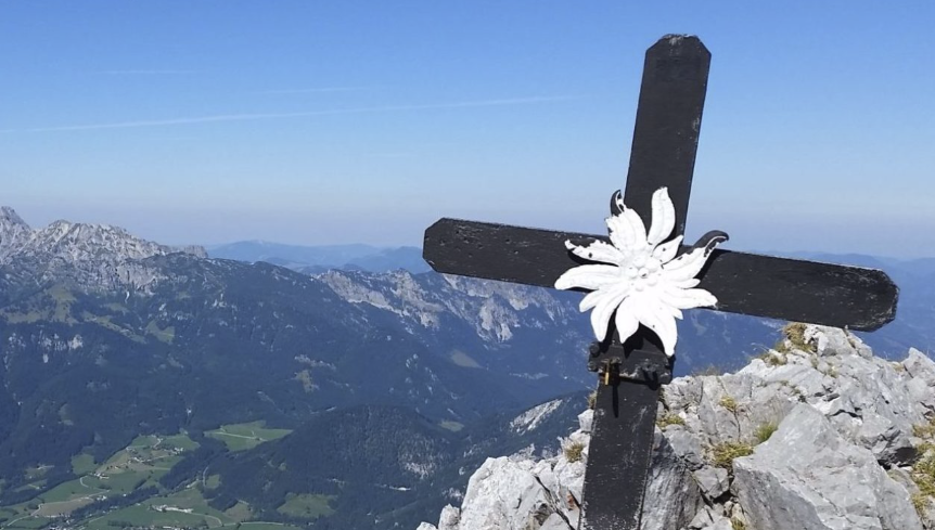
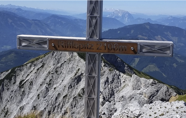
Riffelspitz 2.106 m
Summit visible from Haus Gassner!
- from Klinke Hütte walking time approx. 2 ¼ hoursvia the newly created Jägersteig (Riffelsteig) at the last bend of the Klinke Hütte toll road via Scheibleggerhochalm, Kreuzkogel, walking time approx. 2 3/4 hours,
- from Admont/Kematengraben or
- from bus stop “Sieglalm” or Kaiserau via Scheibleggerhochalm, walking time approx. 2 1/2 hours
Ideal circular hike starting from the Klinke hut - Riffelsteig - Riffel - Kalbling - Sparafeld and back to the Klinke hut! (depending on your fitness and the weather, you can also choose an ascent or descent in between!
Kreuzkogel 2.011 m
Summit visible from Haus Gassner!
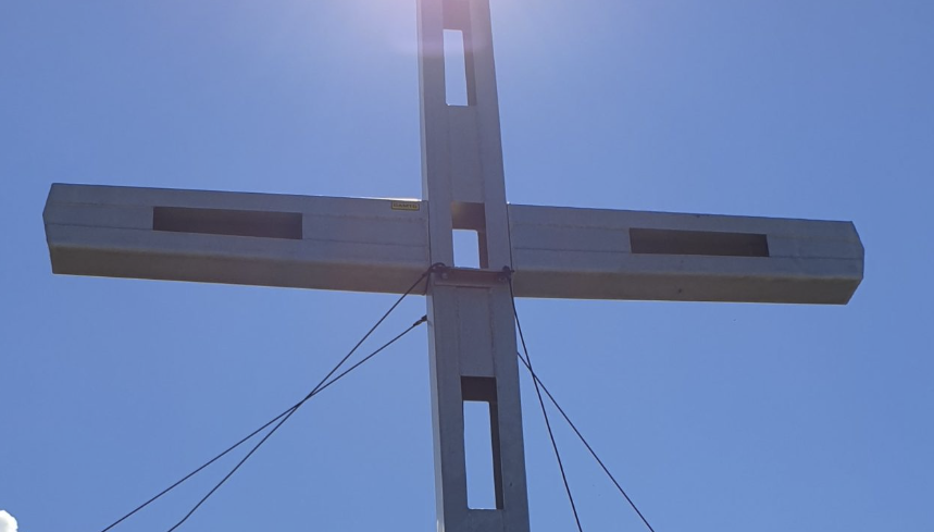
The Kreuzkogel is one of the less frequented peaks in the Gesäuse. Several paths lead up to it. All of them are steep, but also very rewarding. The Kreuzkogel can be easily combined with other summit ascents.
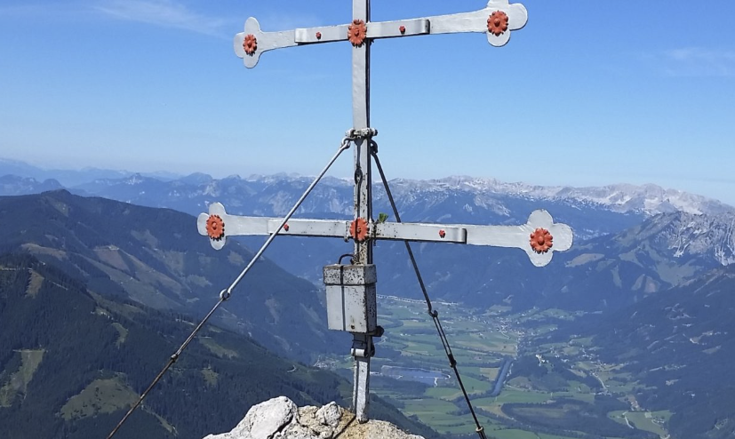
Hahnstein 1.697 m
- Starting point Kaiserau parking lot or Sieglalm bus stop, via Scheibleggerhochalm, walking time approx. 1 3/4 hours
- Via the Jägersteig trail at the Klinke-Hütte toll road bend via Scheibleggerhochalm, walking time approx. 1 ¼ hours,
- From Admont/Kematengraben via Scheibleggerhochalm Walking time approx. 3 ¼ hours
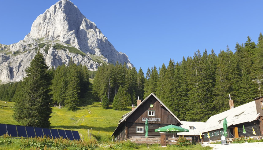
Klinkehütte 1.486 m
- Ausgangspunkt Kaiserau-Parkplatz oder Bushaltestelle Sieglalm, über Scheibleggerhochalm, Gehzeit ca. 1 3/4 Stunden
- Über den Jägersteig bei der Mautstraßenkehre Klinke-Hütte über die Scheibleggerhochalm, Gehzeit ca. 1 ¼ Stunden,
- Von Admont/Kematengraben über die Scheibleggerhochalm Gehzeit ca. 3 ¼ Stunden
Lahngangkogel 1.778 m
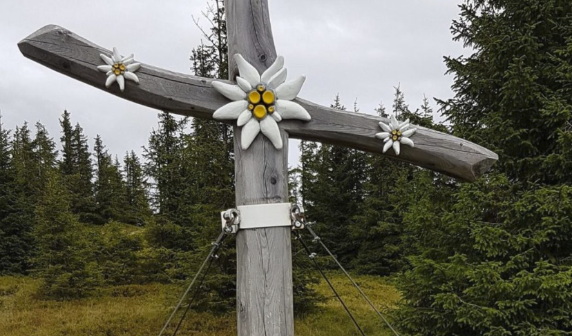
This is the local mountain of the Wagenbänkalm, and can be reached in around ½ hour from the Wagenbänkalm, from the summit you walk another ¾ hour to the Klinke hut.
Ideal circular hike (also with children) with starting point Klinke-Hütte - Kalblinggatterl - Wagenbänkalm - Lahngangkogel and back again!
from the Kaiserau via Gustl-Steig and Wagenbänkalm
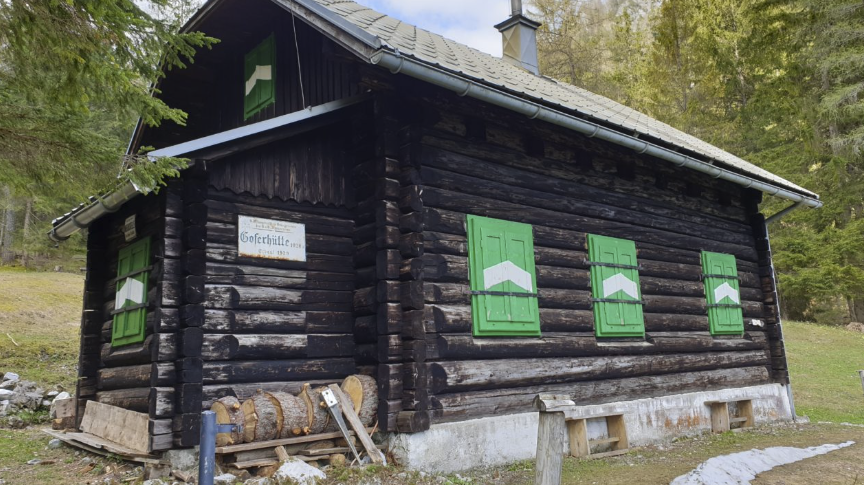
Goferhütte 976 m
Self-catering hut | reservation necessary
- Starting point at the beginning of the Gofergraben at the Gesäuse main road - unmarked
- Starting point Haindlhof and via forest road - unmarked
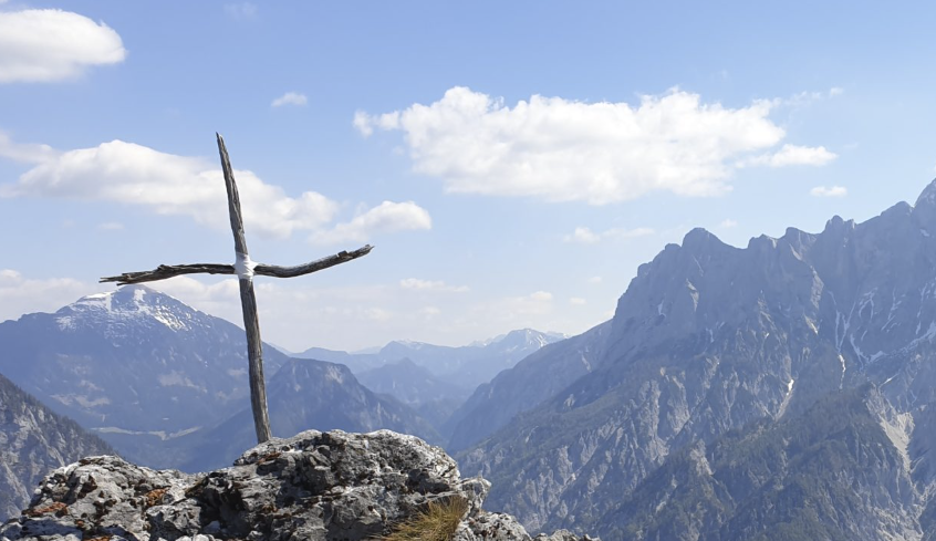
Haindlmauer 1.435 m
- Starting point Haindlhof and via forest road - unmarked
- Starting point Goferalm - unmarked
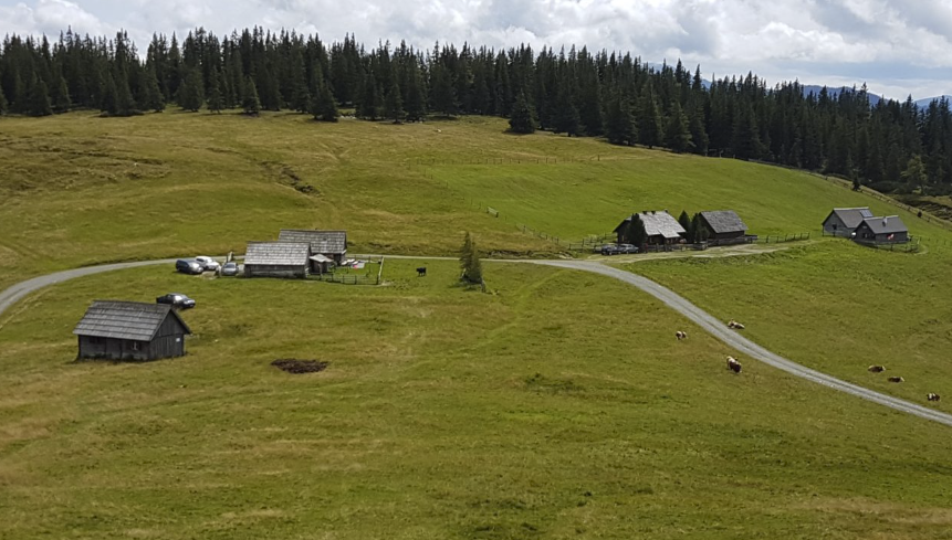
Wagenbänkalm 1.602 m
- Walking time approx. 1 hour from the Klinke hut
- Ideal circular hike (also with children) with starting point Klinke-Hütte - Kalblinggatterl - Wagenbänkalm - Lahngangkogel and back again!
- approx. 2 ½ hours from Dietmannsdorf or Sonnberg in the Paltental valley
- from Kaiserau via Gustl-Steig, return circular hike via Lahngang/Kalblinggatterl to Klinkehütte and via hiking trail back to Kaiserau
Mödlingerhütte 1.523 m
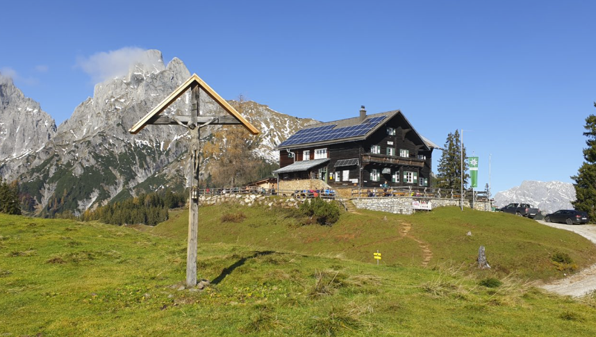
From Johnsbach/GH Donner via Normalsteig approx. 2 hours
Transition Klinke-Hütte via trail 601/608 - Kalblinggatterl (at the foot of the Kalbling) - Flitzenbach - Mödlinger Hütte, walking time approx. (2 1/2 h).
through the Flitzenschlucht gorge from Gaishorn/Paltental.
It is also possible to reach the hut by car or mountain bike on the toll road (mountain bike route) from Gaishorn/Paltental (from the parking lot it is approx. 30 min. to the hut).
In addition to the Reichenstein 2,251 m (for experienced “climbers”), the Treffnersee (approx. 15 minutes), then the plateau at the Heldenkreuz (approx. 1/2 hour) and a little higher still, the panoramic Pfarrmauer (approx. 1 1/2 hours) at the foot of the Totenköpfl are worthwhile destinations.
Because of its panoramic views, the Spielkogel (trail 673, 1 hour) to the south of the Mödlinger Hütte is a popular excursion destination and beautiful ski tour summit. Via the Spielkogel, the high trail 673 leads along the Eisenerz Alpine ridge to the Leobner (approx. 6 hours, 2,036 m) and on to the Hinkareck (approx. 7 1/2 hours, 1,932 m).
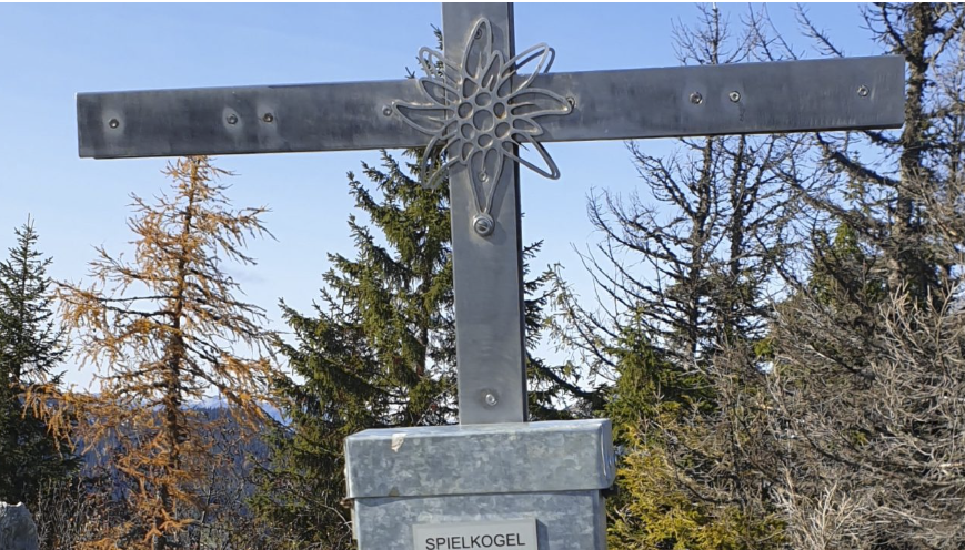
Spielkogel 1.731 m
can be reached from the Mödlingerhütte in approx. 1 hour or via
Johnsbach (fairground) - Wolfsbacher Niederalm - Anhartskogel in approx. 3.5 hours
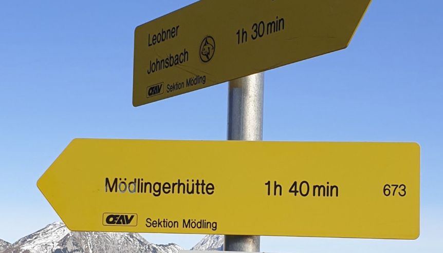
Anhartskogel 1.764 m
- can be reached from the Mödlingerhütte in approx. 1.5 hours or via
- Johnsbach (fairground) - Wolfsbacher Niederalm in approx. 3 hours
Dürrenschöberl 1.737 m
Summit visible from Haus Gassner!
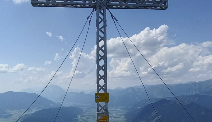
- Near Sezthal station (follow the forest road or the shortcuts to the transmitter and then the hiking trail to the summit (trail from Rottenmann via Mesneralm joins at the halfway point)
- Near Rottenmann station via Mesneralm
- Rottenmann/Villmannsdorf in the direction of Gehöft vulgo Hochberger, follow the forest road or take unclear shortcuts (no markings, there is only a signpost on the ridge between Hühnerkogel and Dürrenschöberl...)
- Röthelstein Castle (mostly forest road) or
- Near the Frauenberg/Enns train station (along the stream or the torrent embankment - relatively poorly marked),
Reichenstein 2.251 m
Summit visible from Haus Gassner!
From the Mödlingerhütte (1,523 m), follow the marked trail past the Treffnersee lake and the Heldenkreuz plateau.
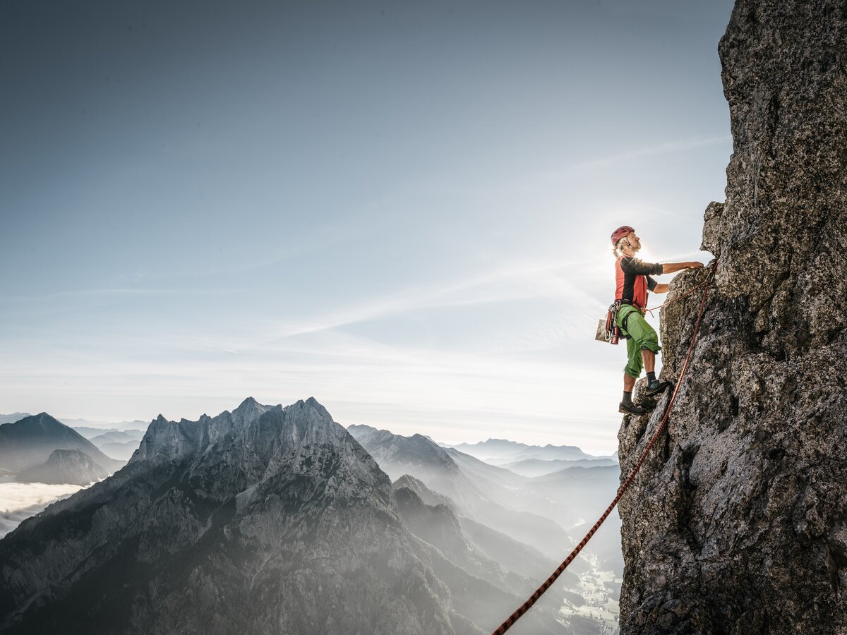
This is followed by a crossing of the Reichenstein massif on the south side (approx. above the mountain pine border, caution: unsecured stone slabs must be crossed) - then varied unsecured climbing (anchors but no safety ropes available) and ascent via the west side.
Walking time approx. 2.5 hours from the Mödlingerhütte