


Hallermauern
Private Rooms & Apartments Gassner
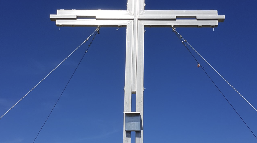
Kitzstein 1.925 m
- Circular hike via the Arlingsattel, via ferrata “Wildfrauensteig,” Frauenmauer, Bosruck to Kitzstein, and back to the starting point at Ardningalm.
- Accessible from:
- the Ardningalm
- the Pyhrn Pass
- the Bosruckhütte via the Arlingalm and the Wildfrauensteig (via ferrata)
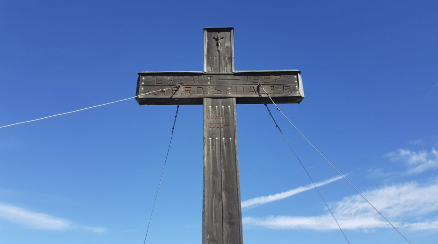
Bosruck 2.009 m
-
Circular hike via the Arlingsattel, via ferrata “Wildfrauensteig,” Frauenmauer to Bosruck. Return via Kitzstein back to the starting point at Ardningalm.
Possible access routes: -
From the Ardningalm via Kitzstein
-
From the Pyhrn Pass via Kitzstein
-
From the Bosruckhütte via the Arlingalmen and the Wildfrauensteig (via ferrata)
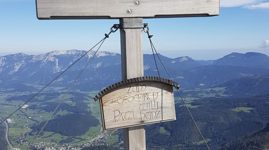
Frauenmauer 1.835 m
-
Circular hike via the Arlingsattel and the “Wildfrauensteig” via ferrata to the Frauenmauer and Bosruck. Return via Kitzstein to the starting point at Ardningalm.
Access options: -
From the Ardningalm via Kitzstein and Bosruck
-
From the Pyhrn Pass via Kitzstein and Bosruck
-
From the Bosruckhütte via the Arlingalmen and the Wildfrauensteig (via ferrata)
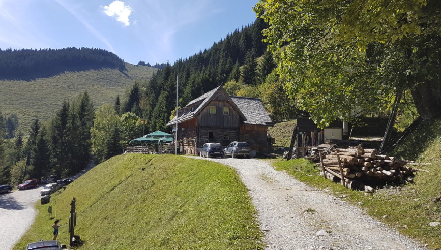
Ardning Alm Hütte 1.036 m
-
Per Forststraße für die Allgemeinheit (auch Moutainbike-Strecke) erreichbar!
Winter und Sommer geöffnetTourenmöglichkeiten:
- Pyhrgasgatterl 1.308 m
- Rohrauerhaus 1.308 m
- Bosruck 1.992 m
- Kitzstein 1925 m und Übergang zum Pyhrnpass
- Großer Pyhrgas 2.244
- Übergang nach Hall/Mühlau
- Bosruckhütte 1.042 m
- Wildfrauensteig
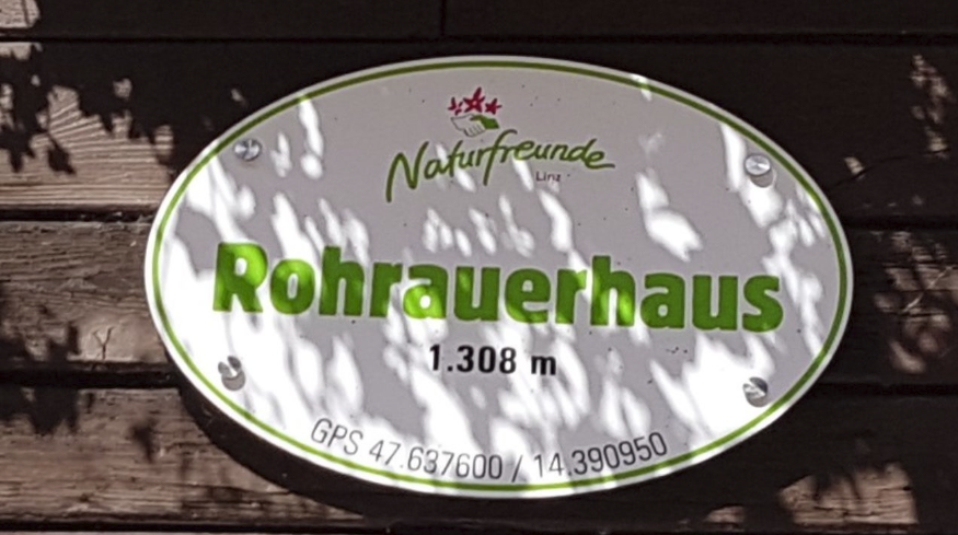
Rohrauerhaus 1.308 m
4-Hut Hike near Spital am Pyhrn
-
Mountain hike through the Dr. Vogelgesang Gorge to the Ochsenwaldalm, continuing to the Bosruckhütte and then to the Rohrauerhaus.
Via the Hofalm Saddle to the Hofalm Hut and back to the Klamm car park.Access routes:
-
From Spital am Pyhrn via the Hofalm (Trail 614)
-
From the Ardningalm via the Pyhrgasgatterl (approx. 2 hrs)
-
From Hall via Mühlau (Kraftwerk parking lot, 750 m elevation gain) – approx. 2 hrs
-
From the Gowilalm Hut – Spital am Pyhrn
-
Circular hike possible thanks to train connections between Ardning and Spital am Pyhrn (Bosruck Tunnel) – be sure to check the train schedules!
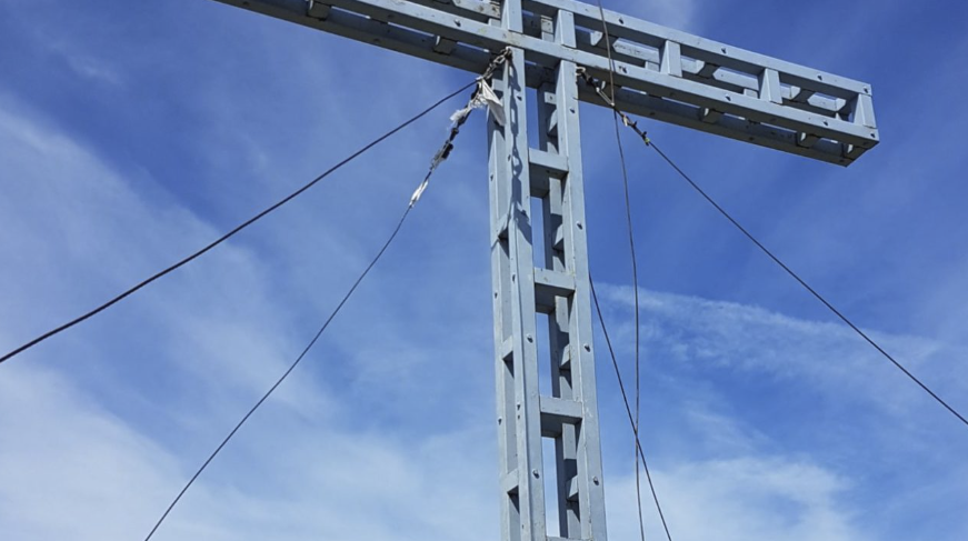
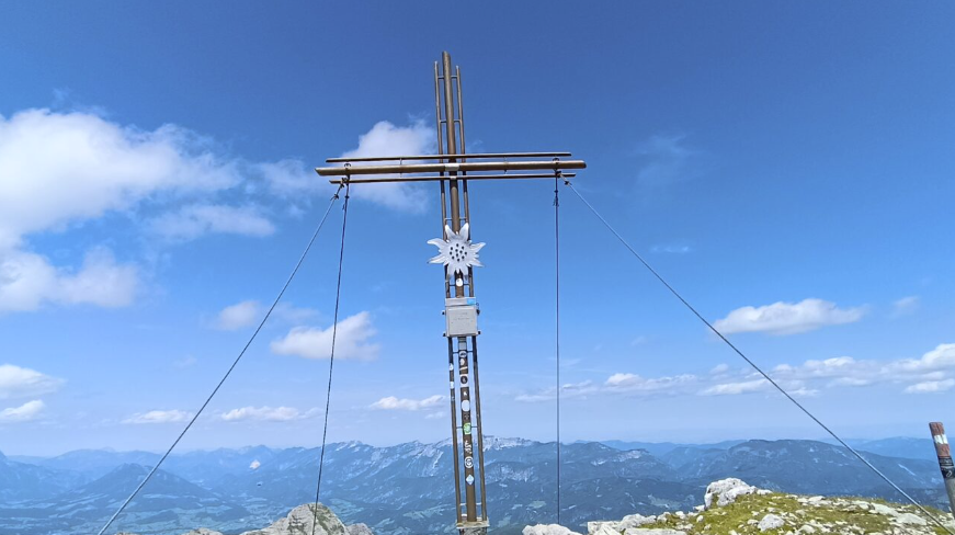
Großer Pyhrgas 2.244 m
- From Hall/Mühlau (750 m elevation gain) to the Rohrauerhaus (approx. 2 hrs), then continue via the Hofersteig to the Großer Pyhrgas (approx. 2.5 hrs)
From the Ardningalm to the Rohrauerhaus (approx. 2 hrs), then via the Hofersteig to the Großer Pyhrgas (approx. 2.5 hrs)
From Spital am Pyhrn through the Dr. Vogelgesang Gorge to the Rohrauerhaus, then onward to the Großer Pyhrgas
From Spital am Pyhrn via trail no. 614 to the Hofalm (approx. 1.5 hrs), then continue over the western ridge to the Großer Pyhrgas
From the Gowilalm via the Bad Haller Steig (north approach) to the Großer Pyhrgas
Or via the connecting ridge from the Kleiner Pyhrgas to the Großer Pyhrgas (several sections rated at difficulty level II)
Scheiblingstein 2.197 m
- From Hall/Mühlau (750 m elevation gain) towards the Rohrauerhaus, then continuing to the Scheiblingstein (approx. 3.5–4.5 hrs)
From the Ardningalm (1,036 m) to the Rohrauerhaus, then onward to the Scheiblingstein
From Spital am Pyhrn to the Rohrauerhaus, then continuing to the Scheiblingstein
Or via the northern ascent from the Leopolden car park (Innerrosenau) via the Laglalm
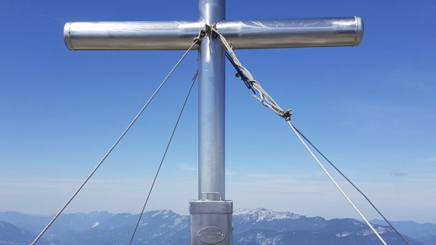
Kreuzmauer 2.091 m
- Normal route from the Leopolden car park (Innerrosenau) – 870 m elevation gain – via the Laglalm (1,324 m) and Langstein
(marked only by stone cairns) – approx. 3.5 hours.
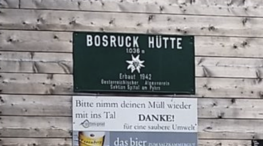
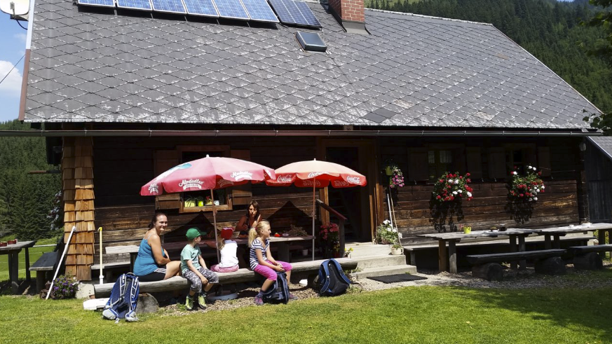
Bosruckhütte 1.036 m
4-Hut Hike near Spital am Pyhrn
Mountain hike through the Dr. Vogelgesang Gorge to the Ochsenwaldalm, continuing to the Bosruckhütte and then to the Rohrauerhaus.
Via the Hofalm Saddle to the Hofalm Hut and back to the Klamm car park.
There is also the option to drive up to just below the hut by car!
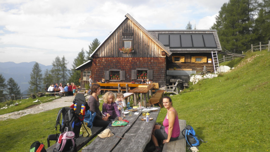
Ochsenwaldalm 1.040 m
4-Hut Hike near Spital am Pyhrn
-
Mountain hike through the Dr. Vogelgesang Gorge to the Ochsenwaldalm, continuing to the Bosruckhütte, and then to the Rohrauerhaus.
From there, cross the Hofalm Saddle to the Hofalm Hut, and return to the Klamm car park.
Gowilalm 1.375 m
-
Starting point is Spital am Pyhrn – turn off the main road at GH Grundner (a long, gently descending straight stretch after Windischgarsten towards Spital) and follow the signs for “Parkplatz Gowilalm.”
-
From the Gowilalm car park, take trail 616 along cart and hiking paths, gently ascending (steeper toward the end) through shady forests on a safe and well-marked trail to the hut. Hiking time: approx. 1½ hours
-
Alternatively, from the same car park, take trail 617 through the Goslitz Valley and past the Holzeralm – hiking time: approx. 1¾ hours
-
This also makes for a great circular hike!
Plesch 1.720 m
-
From Hall/Mühlau (Trail 601) up to the Pyhrgasgatterl, then southward along forest roads to Trail No. 631 and onward to the summit – hiking time approx. 3½ hours
-
From Hall/Zirnitz via Trail 631 – eastern ascent – approx. 3 hours
-
From Frauenberg (junction at the natural swimming area) via the “Hundskar” – approx. 2½ hours
Hexenturm 2.170 m
- Hiking time: approx. 2–3 hours from the Admonterhaus via the normal route (upper Roßkar) or via the Hexensteig (via ferrata B/C).
Also accessible via Hall/Mühlau (Spindelfeld) – not marked!
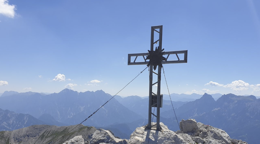
Further alpine pastures and peaks in the Haller Mauern
-
Ascent from the Singerskogel car park via trail 616 or 617 – approx. 1.5 to 1¾ hours,
or from Windischgarsten via the “Millionenweg” to the Gowilalm, then follow the trail that is partially secured with ropes and chains (approx. 1½ to 2 hours).There is also a traverse from the Großer Pyhrgas via the east ridge, which includes short climbing sections (grade II).
Mountain hike through the Dr. Vogelgesang Gorge to the Ochsenwaldalm, continuing to the Bosruckhütte, and then on to the Rohrauerhaus.
Cross the Hofalm Saddle to the Hofalm Hut, and return to the Klamm car park.
Unterlaussa
From Unterlaussa toward Mooshöhe up to Weißwasser, the route is drivable by car.
After that, follow the forest road – either via the Aschaueralm or the Hirschkogelsattel!
Suitable for hikers and mountain bikers!
Von Unterlaussa ca. 1,5 Std. entlang der Forststraße – auch auls Mountainbikestrecke ausgewiesen!
- From Weißwasser/Unterlaussa – approx. 1.5 hours walking time
From the Hengst Pass – approx. 3 hours walking time
Level farm road from the Hengst Pass summit to the alpine pasture, walking time approx. 45 minutes
From the Hengst Pass towards Wasserklotz and Dörflmoaralm – walking time approx. 45 minutes.
Accessible by car from the Hengst Pass main road.
From the Hengst Pass regional road (L550), a gravel road branches off 4 km east of the pass summit.
Follow the signposts to the Peterbaueralm.
Starting point: Hengst Pass Road / Unterlaussa
Walking time: approx. 5 minutes.
Starting point: Hengst Pass – walking time approx. 5 minutes.