


Eisenerzer Alpen
Private Rooms & Apartments Gassner
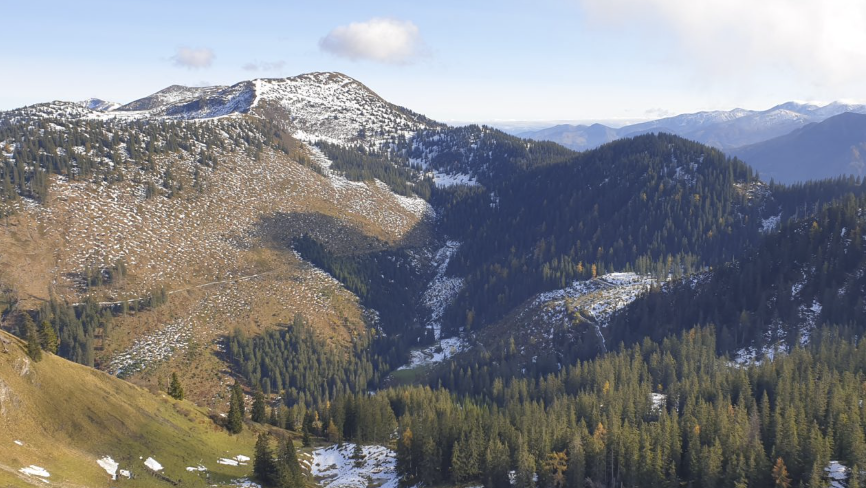
Blaseneck 1.969 m
- An ideal circular hike from Johnsbach / GH Donner via the Mödlingerhütte – Spielkogel – Anhartskogel – Blaseneck – Sonnleitenkogel – Leobner – Leobnertörl, with the descent via the Grössingeralm towards the Zeiringeralm / end of the Johnsbach valley!
(Suitable for fit ridge hikers!)
Located along the long-distance hiking trail between Eisenerzer Reichenstein and Mödlingerhütte.
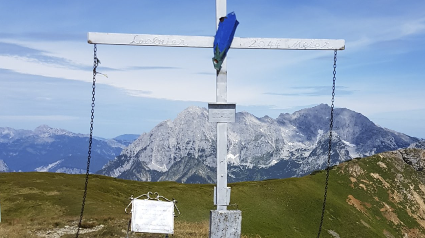
Leobner 2.044 m
-
Starting point: Johnsbach valley end / Zeiringeralm (1,115 m) – ascent via the Grössingeralm and Leobnertörl, approx. 2.5–3 hours.
Alternatively, an ideal circular hike from Johnsbach / GH Donner via the Mödlingerhütte – Spielkogel – Anhartskogel – Blaseneck – Sonnleitenkogel – Leobner – Leobnertörl, descending via the Grössingeralm toward Zeiringeralm / Johnsbach valley end, and returning to the starting point by Gesäuse Ruftaxi.
(Suited for fit and experienced ridge hikers!)
Located along the long-distance trail between Eisenerzer Reichenstein and the Mödlingerhütte.Also accessible from Wald am Schoberpass via Leobnertörl, with a possible descent via the Haberltörl (1,765 m) and Haberlkar.
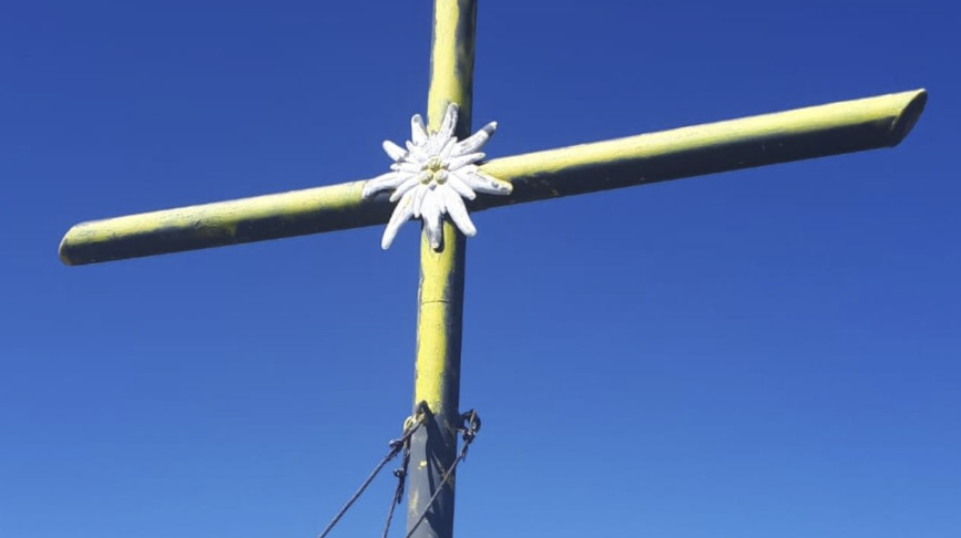
Zeiritzkampel 2.125 m
-
Starting point: Hinterradmer, just before the end of the valley (barrier and parking area).
Follow the forest road straight ahead in the direction of Kammerlalm / Seekaralm.In wet conditions, the ascent via Seekaralm and Zeiritztörl is recommended, as the trail via Kammelalm becomes very slippery when wet (a steep, earthy section between Kammelalm and Kammerlkogel).
From Hinterradmer, follow the route via Seekaralm and Antonikreuz or Hinkareck, then along the ridge to the summit – approx. 4 hours.
Alternative access routes:
-
From Wald am Schoberpass via Antonikreuz
-
From Kalwang via the Brunnecksattel
-
From Vorderradmer / Radmer an der Stube through the Finstergraben and over the Brunnecksattel
-
Also along the long-distance hiking trail between Eisenerzer Reichenstein and the Mödlingerhütte
-
Perfect for a loop hike starting and ending at the same location – no car transfer needed!
Offers a spectacular panoramic view.Recommended circular route:
Hinterradmer – Kammerlalm – Zeiritzkampel – Zeiritztörl – Antonikreuz – Hinkareck – Lahnerleitenspitze – Schafbödenalm – back to Hinterradmer,
or shorten the loop depending on weather and fitness with an ascent or descent via Seekaralm.
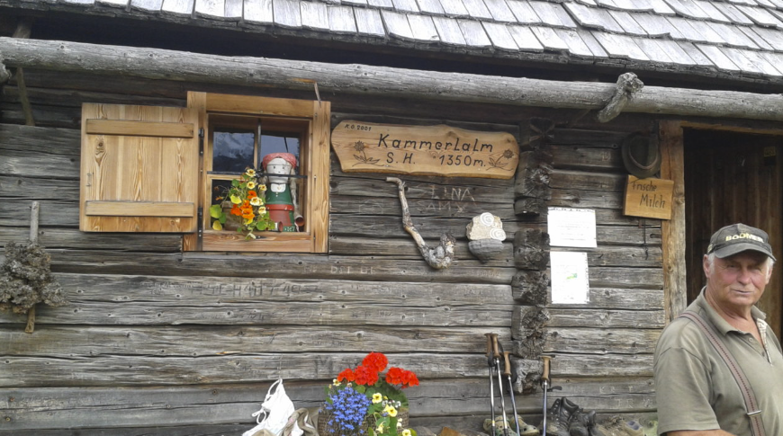
Kammerl-Alm 1.350m
-
Starting point: Hinterradmer, just before the end of the valley (barrier and parking area).
Follow the forest road straight ahead, and after a few minutes, take the marked trail with many switchbacks.
Hiking time: approx. 1 hour, or:About 10 meters after the trail junction (Schafbödenalm / Neuburgalm and Zeiritzkampel), you can choose the steep "Direttissima" ascent on the left –
Hiking time: approx. ½ hour.There is also an unmarked but easily identifiable crossing to the Seekaralm.
Further alpine pastures and peaks in the Eisenerz Alps
-
Starting point: Hinterradmer, just before the end of the valley (barrier and parking area).
Follow the forest road to the right (toward Schafböden / Neuburg), which climbs in wide switchbacks up to the Schafbödenalm. The final part is just a cart track.
Experienced hikers can cut several switchbacks, saving significant time.
From there, continue toward Leobnertörl and Heiligenbrunn, following the ridge to the summit – approx. 4 hours hiking time. -
From Hinterradmer via the Seekaralm and Antonikreuz or Hinkareck, then along the ridge to the summit – approx. 4 hours
-
From Wald am Schoberpass via Heiligenbrunn, along the ridge to the summit
-
Or along the long-distance hiking trail between Eisenerzer Reichenstein and Mödlingerhütte
-
Ideal for a loop tour with only one starting point – no car transfer needed!
Offers spectacular panoramic views.Suggested route:
Hinterradmer – Schafbödenalm – Lahnerleitenspitze – Hinkareck – Antonikreuz – Zeiritztörl – Zeiritzkampel – Kammerlalm – back to Hinterradmer
Or, depending on weather and fitness, shorten the loop with an ascent or descent via Seekaralm.
Starting point: Hinterradmer, just before the end of the valley (barrier and parking area).
Follow the forest road on the right, which ascends in wide switchbacks. The final section is a cart track.
Those familiar with the area can shortcut several of the switchbacks, saving considerable time.
Hiking time: approx. 2 hours.
Starting point: Hinterradmer, just before the end of the valley (barrier and parking area).
Begin by following the forest road, then continue along the marked trail.
This is also an ideal starting point for further hikes towards Zeiritzkampel and/or Lahnerleitenspitze.
There is also an unmarked but easily recognizable crossing to the Kammerlalm.
-
Starting point: Eisenerzer Ramsau – follow the forest road toward Radmerhals, then take the hiking trail branching right (Bärenloch) and follow the marked trail just below the summit massif all the way to the top.
Alternatively, from Eisenerzer Ramsau, stay on the forest road toward Radmerhals, then from Radmerhals, follow the marked trail via Hochkogel to the summit.
From Vorderradmer (Radmer an der Stube) – drive toward Finstergraben and about 300 m after the junction (shortly after the elementary school), turn left onto the forest road, which is also a mountain bike route, heading toward Radmerhals. From there, follow the marked trail via Hochkogel to the summit.
(Note: The original route from Vorderradmer via Lahngraben – trail 601 – has not been accessible for years.)
Hiking time: approx. 4 hoursFrom Eisenerz / Münichtal, follow the forest road, then turn right onto a well-marked but rarely used trail through the beech forest toward Sandgrube. After a rocky ascent, light scrambling begins (not secured – only a few old handholds remain) until you reach the dwarf pine zone.
After a beautiful walk across alpine meadows, you’ll reach a light ridge trail just below the Kaiserwart, leading to the summit.
Starting point: Village center of Vorderradmer (Radmer an der Stube).
Follow the road toward Radmerhals up to the elementary school, then turn left and follow the marked trail.
Note: The trail crosses forest roads several times along the way!
- Via Eisenerzer Ramsau – starting point is the parking area after the Pichlerhof inn,
or
via Vorderradmer / Radmer an der Stube through the Finstergraben – Blauer Herrgott – Teicheneggalm,
or
from Kalwang in the direction of Langteichenbach.
-
Präbichl (normal route) – approx. 2 hours
Eisenerz – approx. 4 hours
Vordernberg (via Greteklinger Steig) – approx. 6½ hours -
Wildfeld (2,044 m) – approx. 4 hours
-
Vordernberger Mauer – approx. 1½ hours
-
Eisenerzer Reichenstein (2,166 m) – approx. 15 minutes (from the nearby summit hut or saddle)
- Präbichl (normal route) – approx. 2 hours
Eisenerz – approx. 4 hours
Vordernberg (via the Grete Klinger Steig) – approx. 6½ hours
Starting point: the "Gsollkehre" parking lot, located between Präbichl and Eisenerz.
Follow the marked trail to the Gsollalm via forest roads and shortcutting woodland paths.
Hiking time: approx. 45 minutes.