


Mühlbacherhütte - Kaschlsteig
Characteristics
SkillThe tour in numbers
Level of difficulty
medium
Route
14,4 km
Time
5:00 h
Uphill
650 hm
Downhill
650 hm
Highest point
1050 m
Closed until further notice due to a forest fire (as of 05.05.2026). A large restricted area is in place around Mühlbachkogel – hiking and cycling are prohibited for safety reasons and to avoid hindering emergency services.
Best season
January
February
March
April
May
June
July
August
September
October
November
December
Map & downloads
Gallery
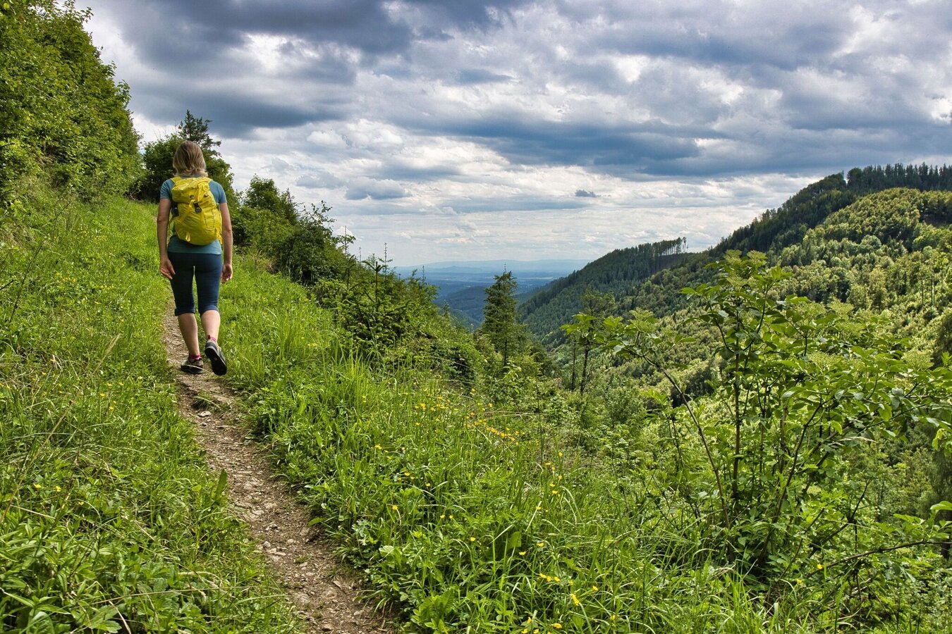
IMG_4775.jpg | © Weges OG | Weges OG
1/12
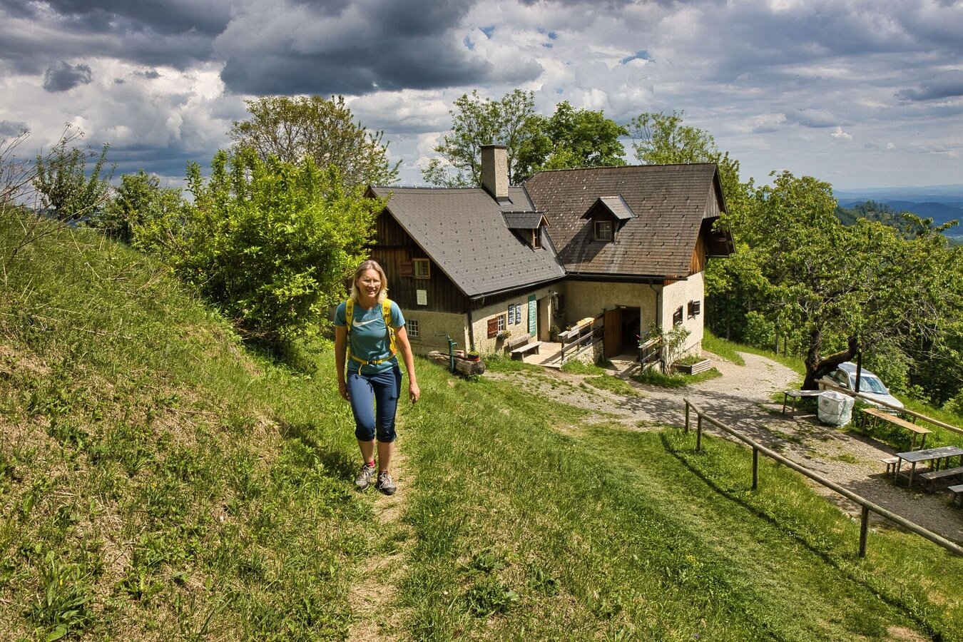
IMG_4786.jpg | © Weges OG | Weges OG
2/12
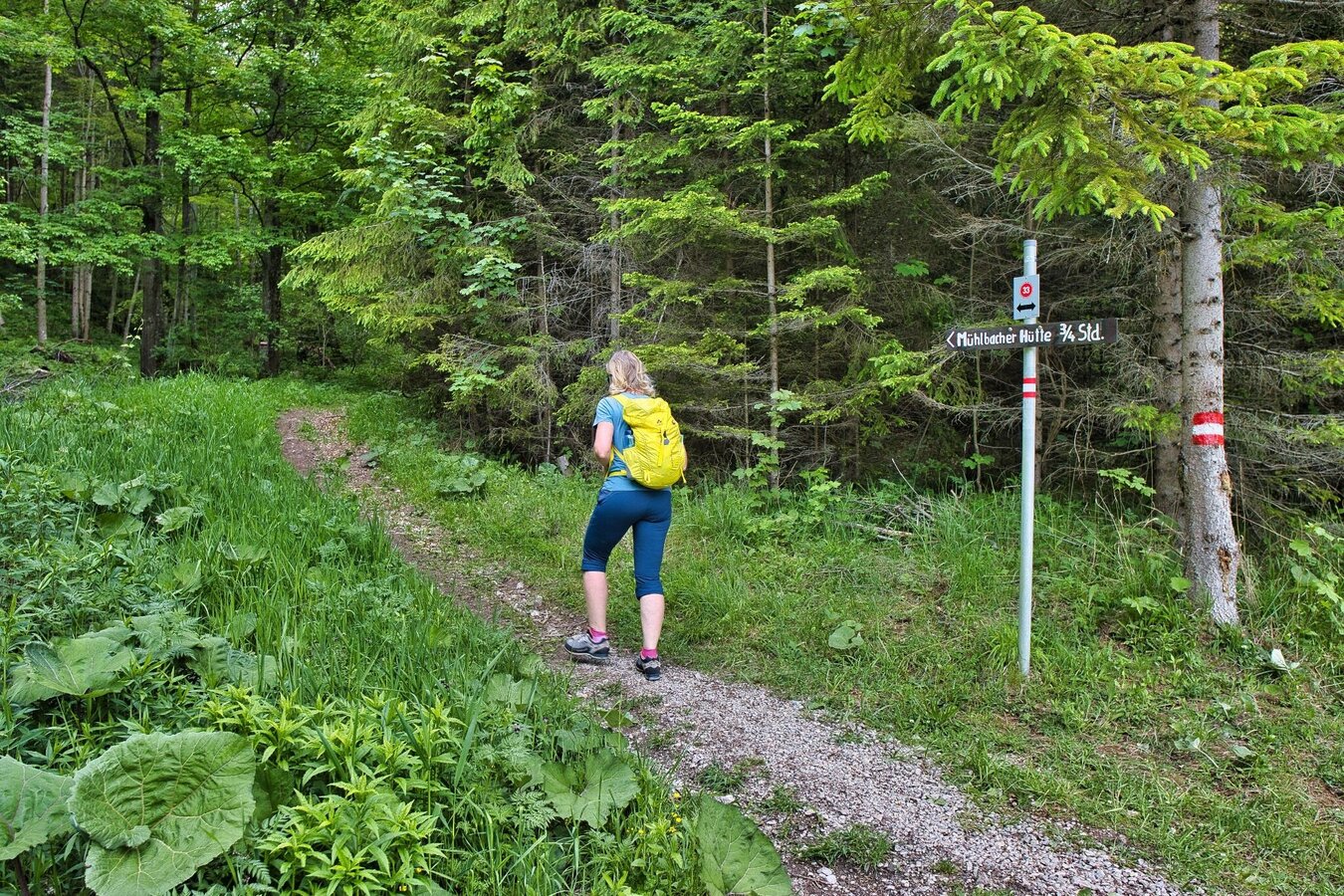
IMG_4761.jpg | © Weges OG | Weges OG
3/12
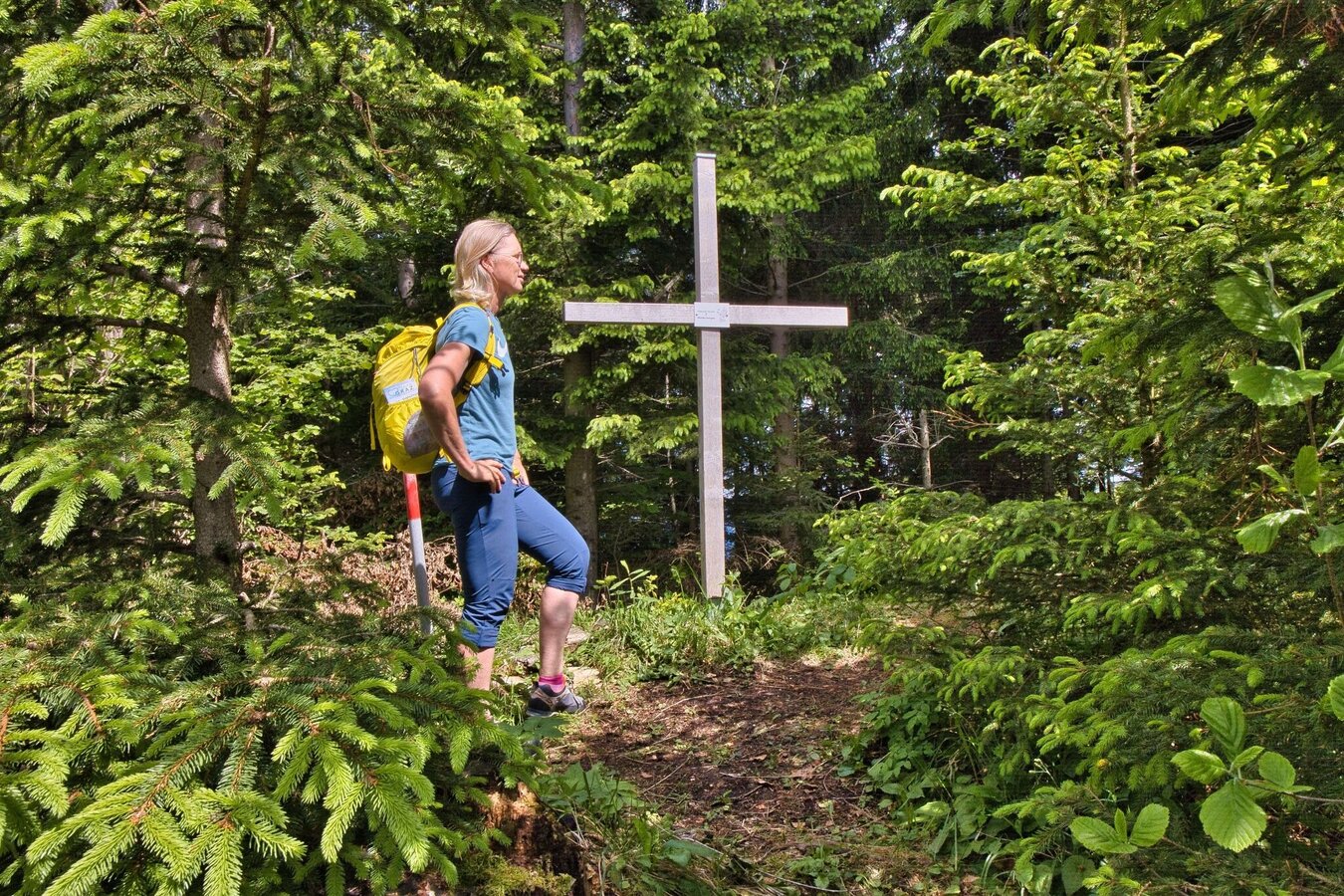
IMG_4797.jpg | © Weges OG | Weges OG
4/12
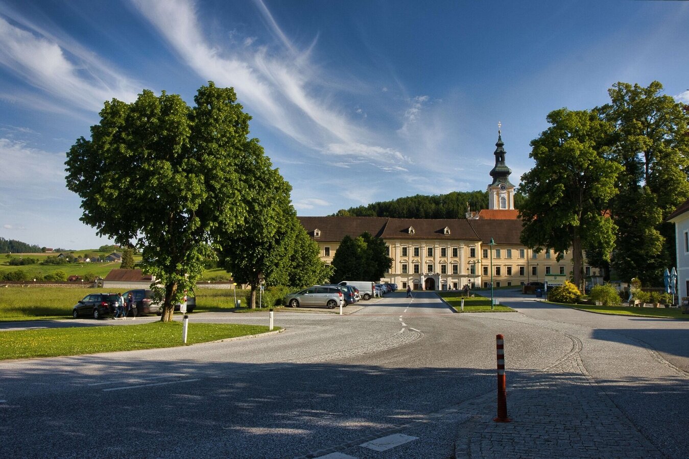
IMG_4881.jpg | © Weges OG | Weges OG
5/12
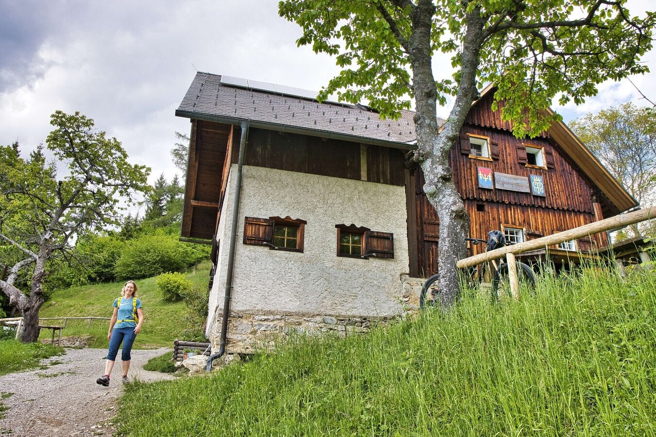
IMG_4784.jpg | © Weges OG | Weges OG
6/12
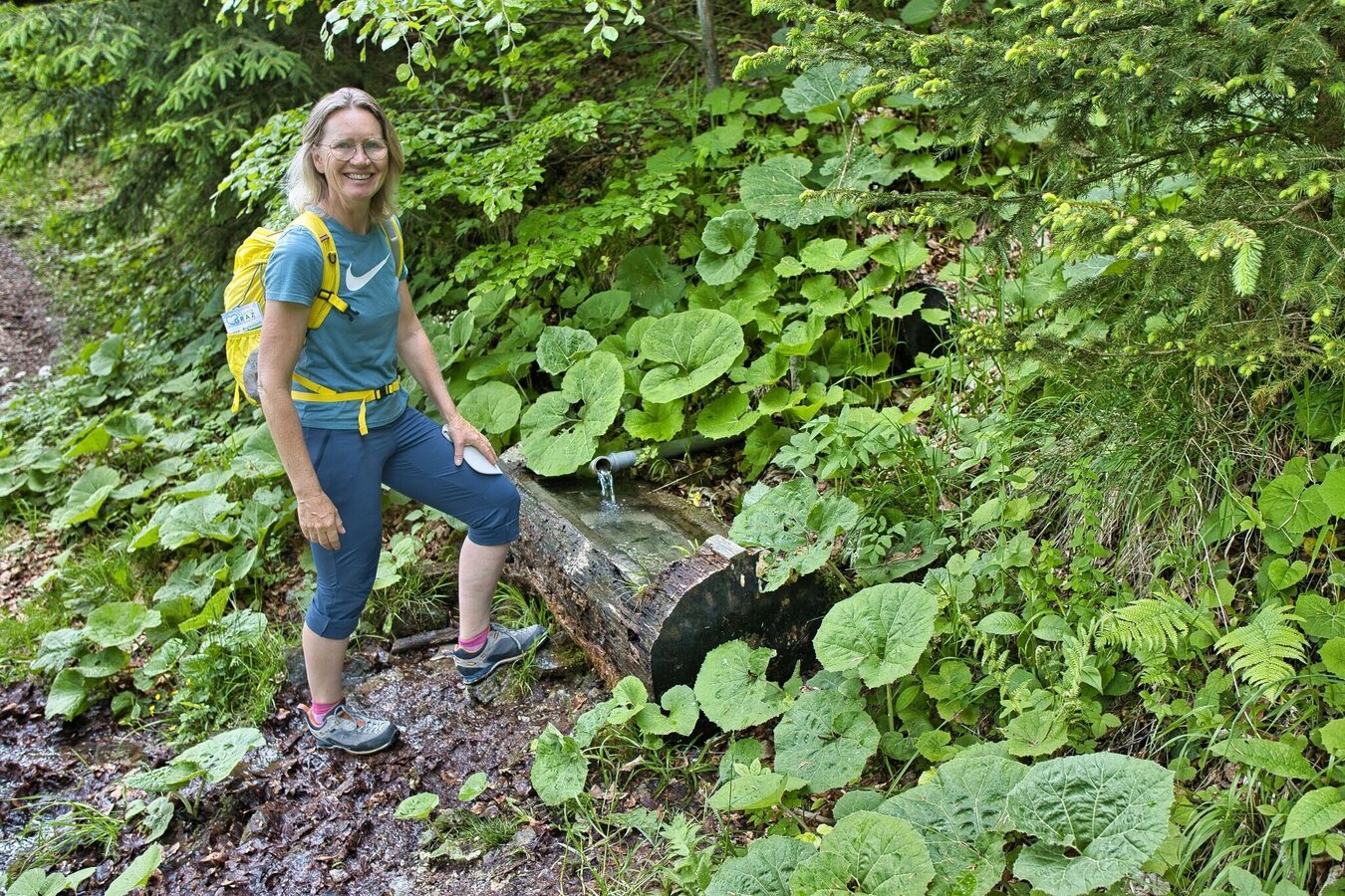
IMG_4767.jpg | © Weges OG | Weges OG
7/12
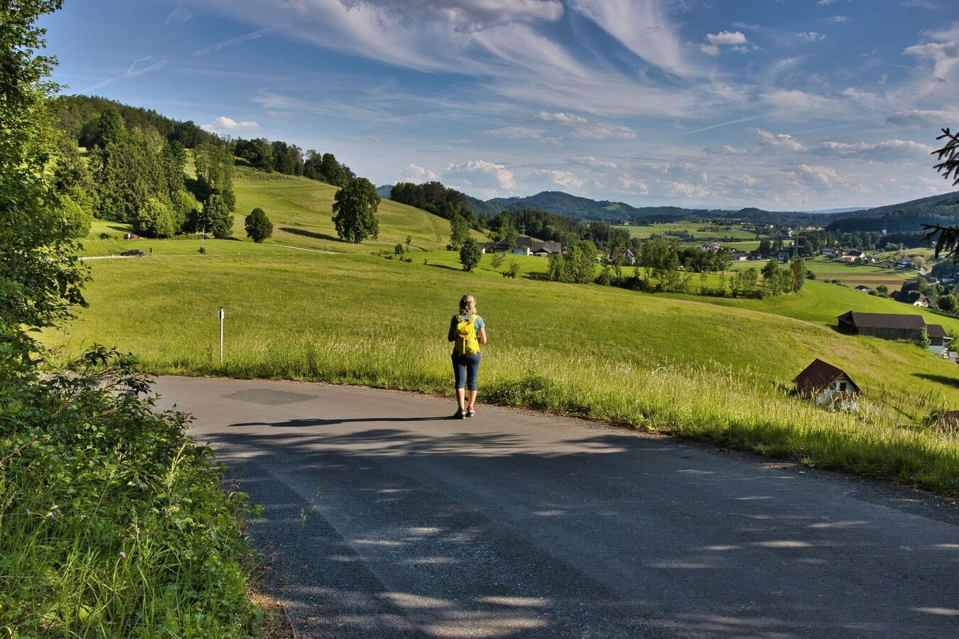
IMG_4874.jpg | © Weges OG | Weges OG
8/12
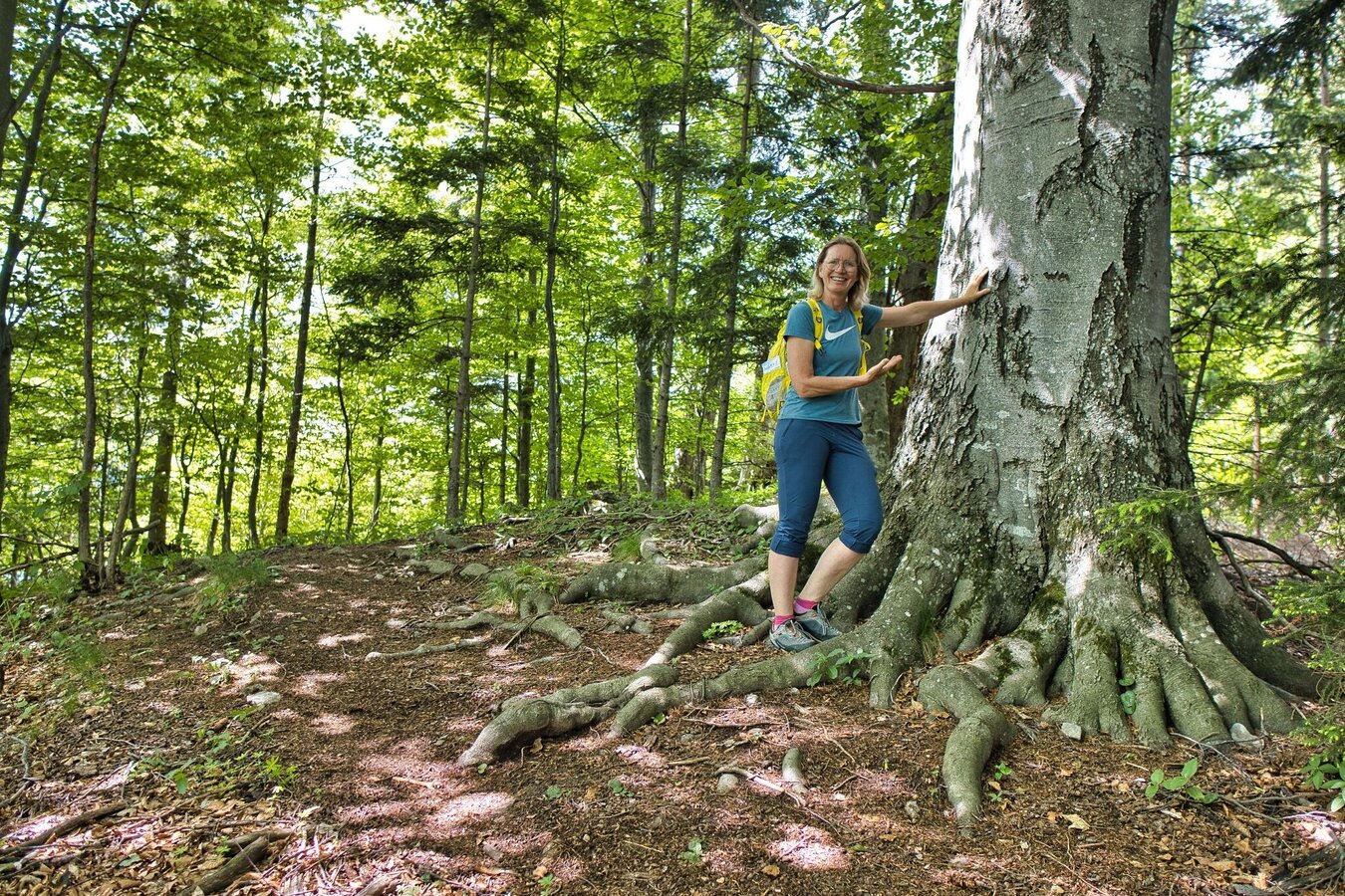
IMG_4792.jpg | © Weges OG | Weges OG
9/12
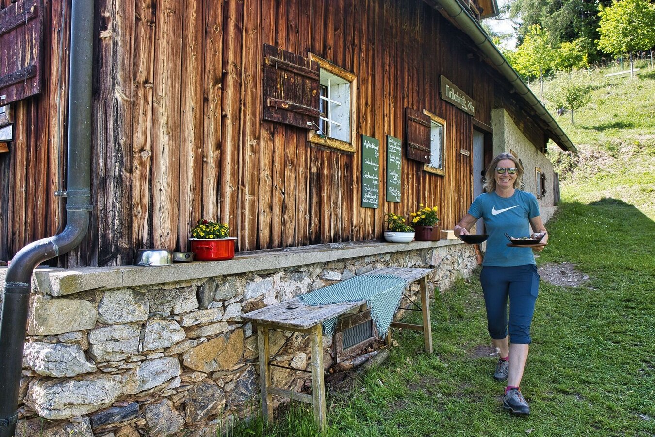
IMG_4822.jpg | © Weges OG | Weges OG
10/12
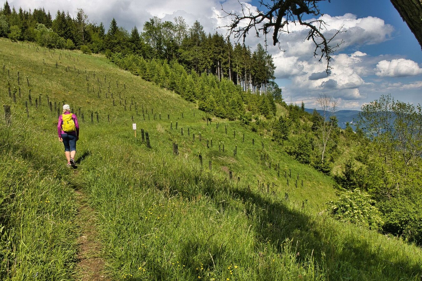
IMG_4833.jpg | © Weges OG | Weges OG
11/12
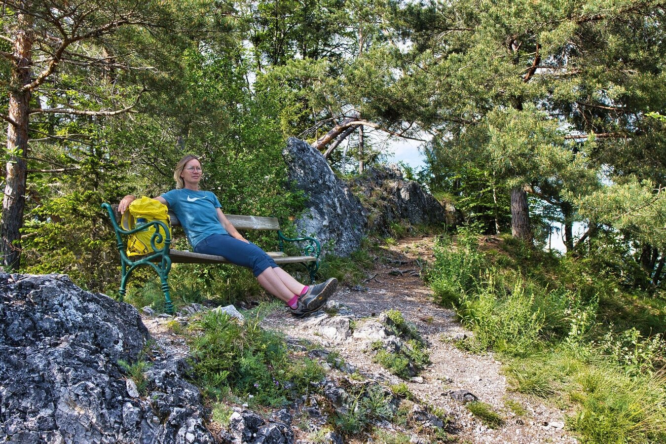
IMG_4863.jpg | © Weges OG | Weges OG
12/12

What the weather will be like Gratwein-Straßengel (390m)
Today, 22.11.2026
Mostly cloudy with occasional sunny spells. Light rain will start in the afternoon.Morning

1°C
sr.Regenwahrscheinlichkeit
0%
sr.Windstärke
5 km/h
Noon

6°C
sr.Regenwahrscheinlichkeit
5%
sr.Windstärke
5 km/h
Night

5°C
sr.Regenwahrscheinlichkeit
85%
sr.Windstärke
5 km/h
Tomorrow, 23.11.2026
Rather cloudy in the morning, then sunny spells will develop gradually.Morning
2°C
sr.Regenwahrscheinlichkeit
15%
sr.Windstärke
5 km/h
Noon
6°C
sr.Regenwahrscheinlichkeit
10%
sr.Windstärke
10 km/h
Night

2°C
sr.Regenwahrscheinlichkeit
10%
sr.Windstärke
5 km/h
Forecast
24.11.2026

-3°C
5°C
25.11.2026
-4°C
1°C
26.11.2026

-1°C
0°C

