


Tschakathurn circular tour
Characteristics
SkillThe tour in numbers
Level of difficulty
medium
Route
5,3 km
Time
1:30 h
Uphill
120 hm
Downhill
120 hm
Highest point
878 m
A moderately difficult hiking route, with wonderful landscape scenery and one or two viewing points that invite you to linger.
This short hike leads through the Lower Feßnach past the old gravel pit via Tschakathurn (Schachenthurn) to St. Lorenzen and back to the main square. The path does not lead directly to the Tschakathurn castle ruins. The old ruin can be admired from some distance above.
Best season
January
February
March
April
May
June
July
August
September
October
November
December
More information
By car from Germany
From Munich via the A8 towards Salzburg. From Salzburg on the A10 Tauernautobahn to St. Michael im Lungau. On the B 96 to Tamsweg, then on the B 95 to Predlitz. The B 97 leads via Stadl/Mur to Murau. At the roundabout go straight ahead towards Teufenbach and Scheifling finally.
Public parking spaces are available directly at Scheifling's main square.
From Munich via the A8 towards Salzburg. From Salzburg on the A10 Tauernautobahn to St. Michael im Lungau. On the B 96 to Tamsweg, then on the B 95 to Predlitz. The B 97 leads via Stadl/Mur to Murau. At the roundabout go straight ahead towards Teufenbach and Scheifling finally.
Arrival from Eastern Austria/Hungary
At the motorway junction in St. Michael near Leoben, take the S 36 towards Klagenfurt. Past Knittelfeld and Judenburg to Scheifling.
Arrival from southern Austria/Italy
Via Klagenfurt on the S 37 past St. Veit/Glan, Treibach and Friesach. In Friesach continue towards Vienna, via Dürnstein and Wildbad towards Neumarkt. Keep left in Neumarkt. You reach Scheifling via the Perchauer Sattel.
Link to Google Maps
Public parking spaces are available directly at Scheifling's main square.
You start at the main square and walk along Kirchgasse towards Landesstraße. After crossing the street, keep right and follow Bahnhofstrasse until you turn into “Untere Feßnachstraße”. After 600 m keep right again and go down to Sprungerwirt. After crossing the street, follow the path to the church of St. Lorenzen. You then return to the starting point via the Waldbachweg.
- Good shoes
- Sun protection
- Sufficient food
With the BusBahnBim app from the interconnected line, timetable information is easier than ever before: all bus, train and tram connections in Austria can be queried by entering locations and/or addresses, stops or important points. The app is available as a free app for smartphones (Android, iOS) - on Google Play and in the App Store.
ÖBB www.oebb.at | Styria connection line www.busbahnbim.at
The ideal time for this tour is from April to October. Information brochures are available at the various information offices.
Map & downloads
Gallery
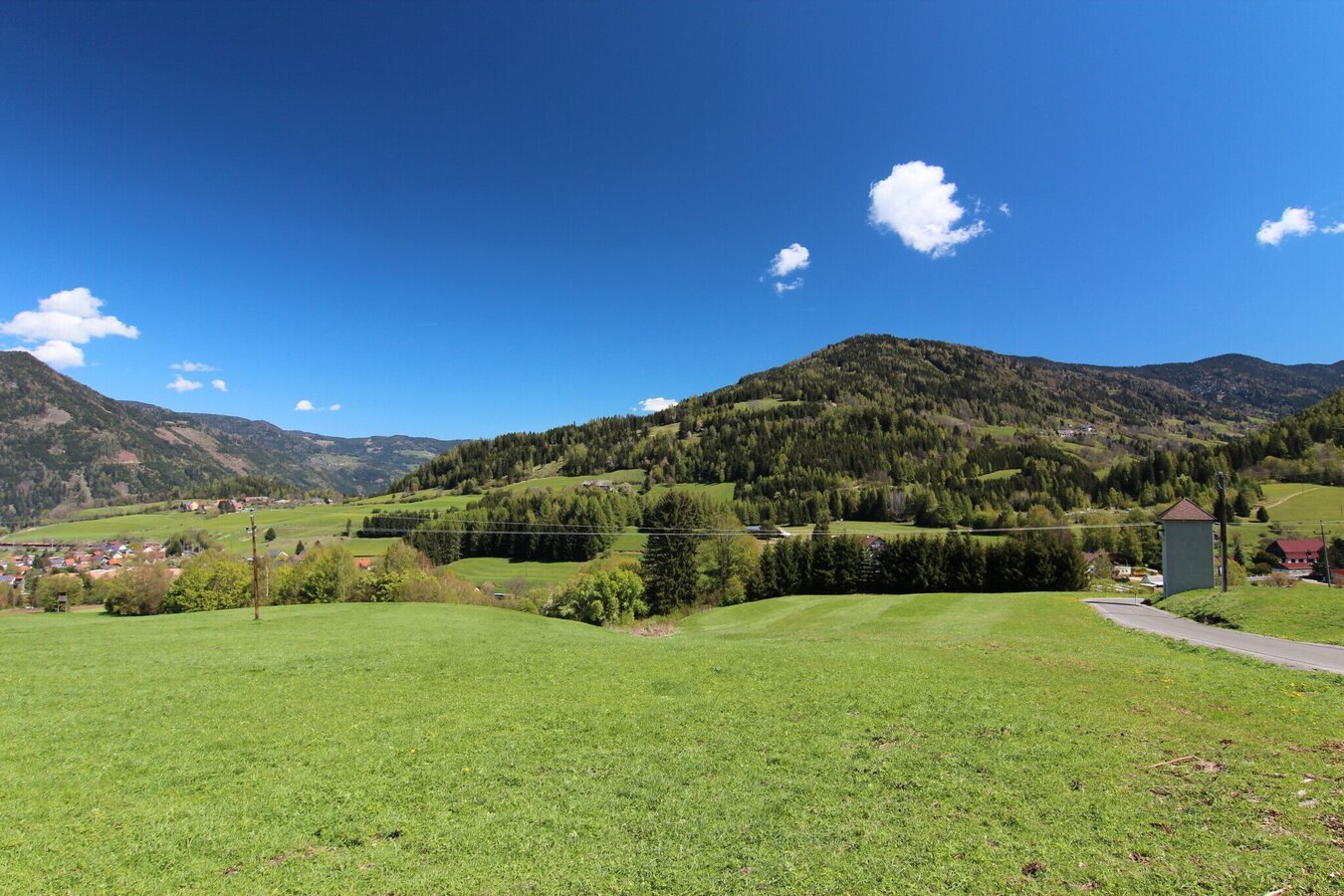
Tschakathurn Runde | © Gemeinde Scheifling | Köstenberger
1/3
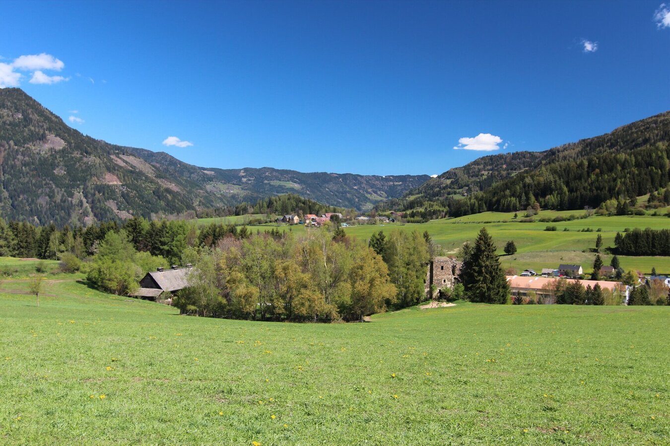
Tschakathurn Runde | © Gemeinde Scheifling | Köstenberger
2/3
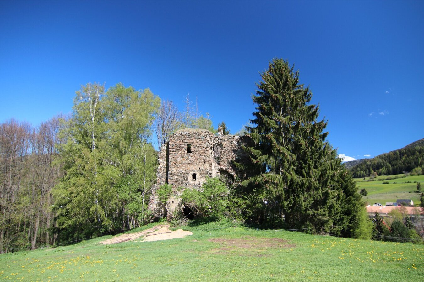
Tschakathurn Runde | © Gemeinde Scheifling | Köstenberger
3/3

What the weather will be like Scheifling (770m)
Today, 23.10.2026
The day starts sunny, but will be partly cloudy in the afternoon.Morning

0°C
sr.Regenwahrscheinlichkeit
0%
sr.Windstärke
5 km/h
Noon

10°C
sr.Regenwahrscheinlichkeit
0%
sr.Windstärke
5 km/h
Night

6°C
sr.Regenwahrscheinlichkeit
0%
sr.Windstärke
5 km/h
Tomorrow, 24.10.2026
Rainfall will end around noon, then the clouds will break up.Morning

4°C
sr.Regenwahrscheinlichkeit
80%
sr.Windstärke
5 km/h
Noon

7°C
sr.Regenwahrscheinlichkeit
80%
sr.Windstärke
5 km/h
Night
3°C
sr.Regenwahrscheinlichkeit
40%
sr.Windstärke
5 km/h
Forecast
25.10.2026
-1°C
9°C
26.10.2026
1°C
13°C
27.10.2026
1°C
14°C
