


Talkenschrein
Characteristics
SkillThe tour in numbers
Level of difficulty
medium
Route
8,5 km
Time
5:00 h
Uphill
770 hm
Downhill
770 hm
Highest point
2319 m
Talkenschrein - magnificent summit hike with wonderful panoramic views!
While immersing yourself in the wonderful alpine landscape, you can forget your everyday worries and let your soul dangle for once. With each additional meter of altitude, many small pools invite you to play. The Funklsee, is a place simply to pause. Continue in the direction of Talkenschrein the summit at 2.319m rewarded with a truly magnificent panoramic view.
Schoberspitze 2.473m directly opposite, behind it the Hochweberspitz. Greim 2.474m, Rettelkirchspitze, etc. This summit victory inspires and stimulates for the next tour in the region.
Best season
January
February
March
April
May
June
July
August
September
October
November
December
More information
Coming from Judenburg via Unzmarkt to Scheifling. Turn right here and drive in the direction of Murau. In Niederwölz turn right to Oberwölz. Keep left here in the direction of Pöllau am Greim. Turn right and follow the Eselsberger way to the Hölzlerhütte.
Parking is at the Hölzlerhütte possible.
From Tamsweg via Ranten (or Stadl an der Mur) to Murau. Continue to Niederwölz and turn left towards Oberwölz. In Oberwölz continue to Pöllau am Greim. Turn right and follow the Eselsberger Weg to the Hölzlerhütte.
Parking is at the Hölzlerhütte possible.
From the Hölzlerhütte, follow the trail no. 927 to the upper alpine pasture and continue to Funklsee.
From there, continue in the direction of the Idlereckscharte, before reaching the Scharte, turn east and follow the tracks to the Talkenschrein summit. The way back follows the same path.
- Good footwear
- Sun protection
- Sufficient food
With the BusBahnBim app of the Verbundlinie, timetable information has never been easier: all bus, train and streetcar connections in Austria can be queried by entering locations and/or addresses, stops or important points. The app is available as a free app for smartphones (Android, iOS) - on Google Play and in the App Store.
ÖBB www.oebb.at | Verbundlinie Steiermark www.busbahnbim.at
Due to the altitude, the optimal hiking time is from June or until mid-October, depending on the weather and snow conditions. Information brochures are available at the various information offices.
Map & downloads
Gallery
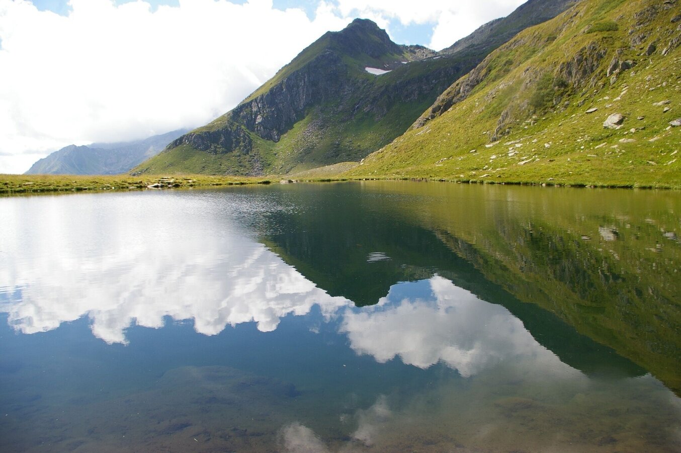
Funklsee Eselsberger Alm | © Tourismusverband Murau | Tourismusverband Murau
1/4
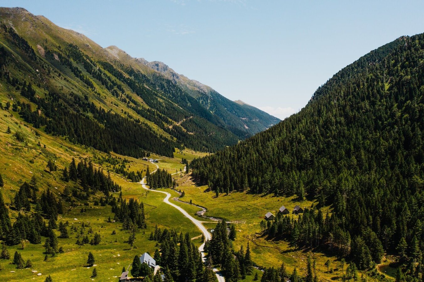
Eselsberger Alm | © Tourismusverband Murau | CM Visuals
2/4
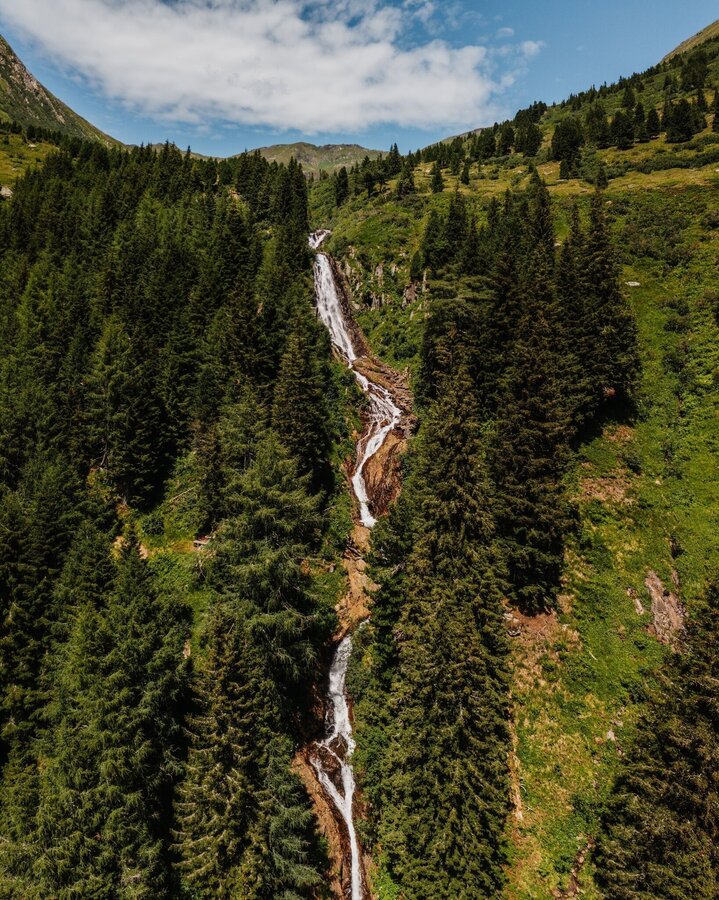
Eselsberger Wasserfall | © Tourismusverband Murau | CM Visuals
3/4
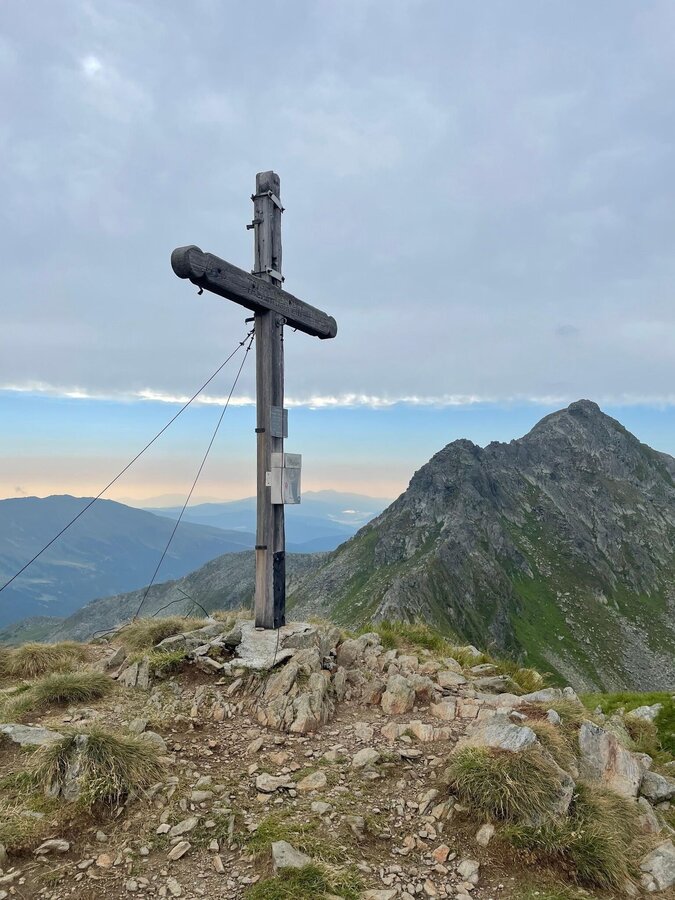
Talkenschrein Gipfel | © Tourismusverband Murau | Johanna Jäger
4/4

What the weather will be like Oberwölz (833m)
Today, 01.10.2026
Dry and bright with plenty of sunshine, clouds will be rare.Morning

7°C
sr.Regenwahrscheinlichkeit
0%
sr.Windstärke
0 km/h
Noon
19°C
sr.Regenwahrscheinlichkeit
0%
sr.Windstärke
5 km/h
Night

10°C
sr.Regenwahrscheinlichkeit
0%
sr.Windstärke
0 km/h
Tomorrow, 02.10.2026
Dry and partly sunny throughout the day, with cloudy periods from time to time.Morning
5°C
sr.Regenwahrscheinlichkeit
0%
sr.Windstärke
0 km/h
Noon
18°C
sr.Regenwahrscheinlichkeit
0%
sr.Windstärke
5 km/h
Night
10°C
sr.Regenwahrscheinlichkeit
0%
sr.Windstärke
5 km/h
Forecast
03.10.2026
4°C
20°C
04.10.2026
2°C
20°C
05.10.2026

5°C
20°C
