


Rinsennock
Characteristics
SkillThe tour in numbers
Level of difficulty
medium
Route
12,2 km
Time
5:00 h
Uphill
692 hm
Downhill
691 hm
Highest point
2334 m
Enjoy the view from the highest peak around the Turracher Höhe!
Discover the nature around the Turracher Höhe. However, this moderately difficult hike also requires some stamina and fitness - in this respect the tour should not be underestimated.
Best season
January
February
March
April
May
June
July
August
September
October
November
December
More information
Coming from Judenburg via Unzmarkt to Scheifling. Turn right here and drive to Murau. In Murau always go straight ahead and drive via St. Georgen ob Murau and Stadl an der Mur to Predlitz. Turn left here and drive along the winding road until you reach Turracher Höhe.
Public parking spaces are available directly at the Panoramabahn valley station.
Coming from Tamsweg, always go straight to Predlitz. Turn right here and drive along the winding road to Turracher Höhe.
Public parking spaces are available directly at the Panoramabahn valley station.
Starting from the valley station of the Panoramabahn, follow path no. 149 up towards Kornock. As you climb, you will see the "Gletschermühle" on the right just before the Almstube - a relic from the Ice Age. When you reach the Kornock summit, you can enjoy a wonderful panoramic view from the ridge over to Rinsennock. The descent takes you from the summit of Rinsennock hi down to Winkleralm, further to Schafalm and back to Turrachersee.
Alternatively, you can also choose the route from Rinsennock via the Eggenriegel and the Kormulde back to the starting point.
- Good shoes
- Sun protection
- Sufficient food
With the BusBahnBim app from the interconnected line, timetable information is easier than ever before: all bus, train and tram connections in Austria can be queried by entering locations and/or addresses, stops or important points. The app is available as a free app for smartphones (Android, iOS) - on Google Play and in the App Store.
ÖBB www.oebb.at | Styria connection line www.busbahnbim.at
The ideal time for this tout is the months of June to October. Information brochures are available at the various information offices.
Map & downloads
Gallery
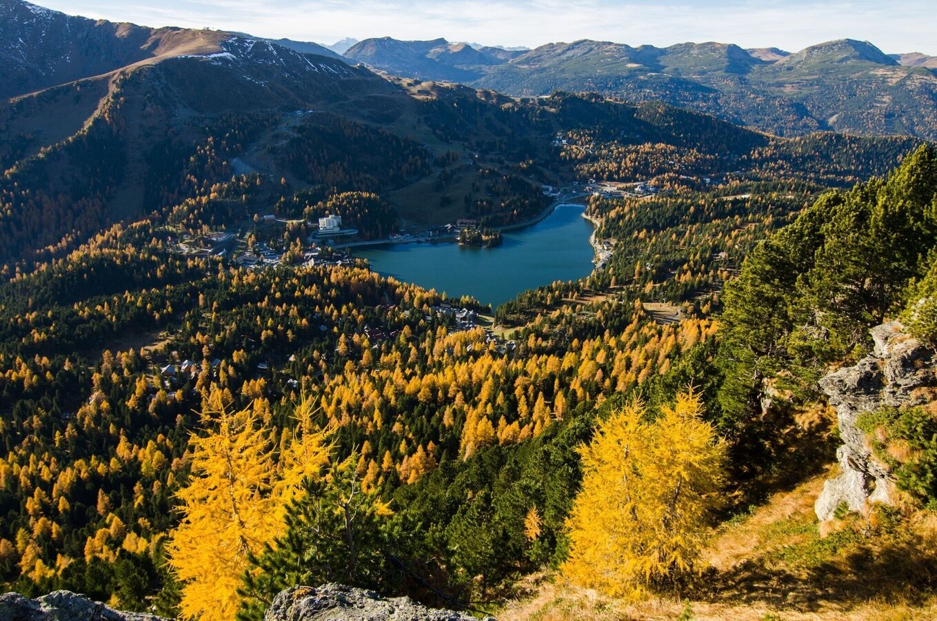
Turracher Höhe | © TMG Turracher Höhe Marketing GmbH | Rossmann
1/2
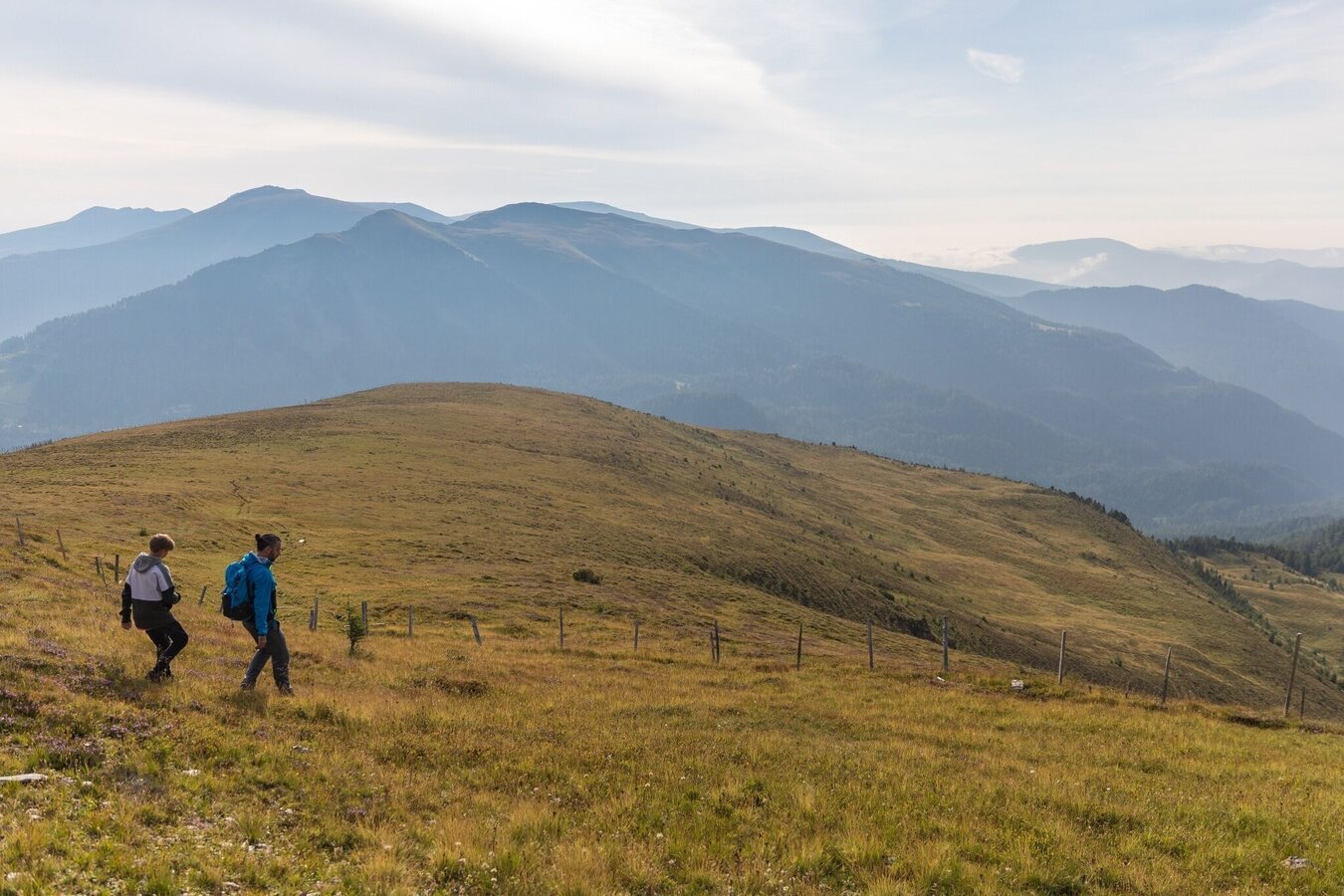
Turracher Höhe | © TMG Turracher Höhe Marketing GmbH | Simone Attisani
2/2

What the weather will be like Stadl-Predlitz (882m)
Today, 28.09.2026
Dry and sunny throughout the day with hardly any clouds.Morning

7°C
sr.Regenwahrscheinlichkeit
0%
sr.Windstärke
0 km/h
Noon
21°C
sr.Regenwahrscheinlichkeit
0%
sr.Windstärke
5 km/h
Night
12°C
sr.Regenwahrscheinlichkeit
0%
sr.Windstärke
0 km/h
Tomorrow, 29.09.2026
Dry and sunny throughout the day with hardly any clouds.Morning
8°C
sr.Regenwahrscheinlichkeit
0%
sr.Windstärke
0 km/h
Noon
20°C
sr.Regenwahrscheinlichkeit
0%
sr.Windstärke
10 km/h
Night
12°C
sr.Regenwahrscheinlichkeit
0%
sr.Windstärke
0 km/h
Forecast
30.09.2026
6°C
21°C
01.10.2026

5°C
21°C
02.10.2026

6°C
21°C
