


Laasen round
Characteristics
SkillThe tour in numbers
Level of difficulty
medium
Route
7,0 km
Time
1:55 h
Uphill
258 hm
Downhill
258 hm
Highest point
1025 m
A circular hike from Althofen via Laasen to Peterdorf and back to the starting point.
A varied tour through forests and along fields and the Katschbach stream.
Best season
January
February
March
April
May
June
July
August
September
October
November
December
More information
Coming from Judenburg via Unzmarkt to Scheifling. Turn right here and drive towards Murau. In Katsch in der Mur, keep right again and drive to Althofen.
Parking spaces are available at the Gasthof Würschl in Althofen.
Coming from Tamsweg, drive via Ranten (or Stadl an der Mur) to Murau. Keep left here and drive via Schöder to St. Peter am Kammersberg. Continue here via Peterdorf to Althofen.
Parking spaces are available at the Gasthof Würschl in Althofen.
From the starting point S3, we first cross the Katschbach stream, then keep to the left and follow the signs for “Brechlhütte.” At the fork in the road, we see the “Brechlhütte” on the left, which we pass and follow the road uphill. At the second right-hand bend, we stay on the road and after about 150 m we keep to the left, where shortly afterwards the path leads us into the forest. At the next fork in the road, after about 650 m, we keep to the right, passing a pasture gate. When we see the “Grossa” farm on our left, we keep to the right and from now on walk downhill, past the farmsteads vlg. ‘Baumgartner’ and vlg. “Höller”. When we reach the Laasenweg at a hairpin bend with a stone in it, we keep to the right and walk to Peterdorf. About 100 m before the Katschbach, we turn right and walk along it back to the starting point.
- Good shoes
- Sun protection
- Sufficient food
With the BusBahmBim app from the composite line, timetable information is easier than ever before: all bus, train and tram connections in Austria can be queried by entering locations and/or addresses, stops or important points. The app is available as a free app for smartphones (Android, iOS) - on Google Play and in the App Store.
ÖBB www.oebb.at | Styria connection line www.busbahnbim.at
Information brochures are available at the various information offices.
Map & downloads
Gallery
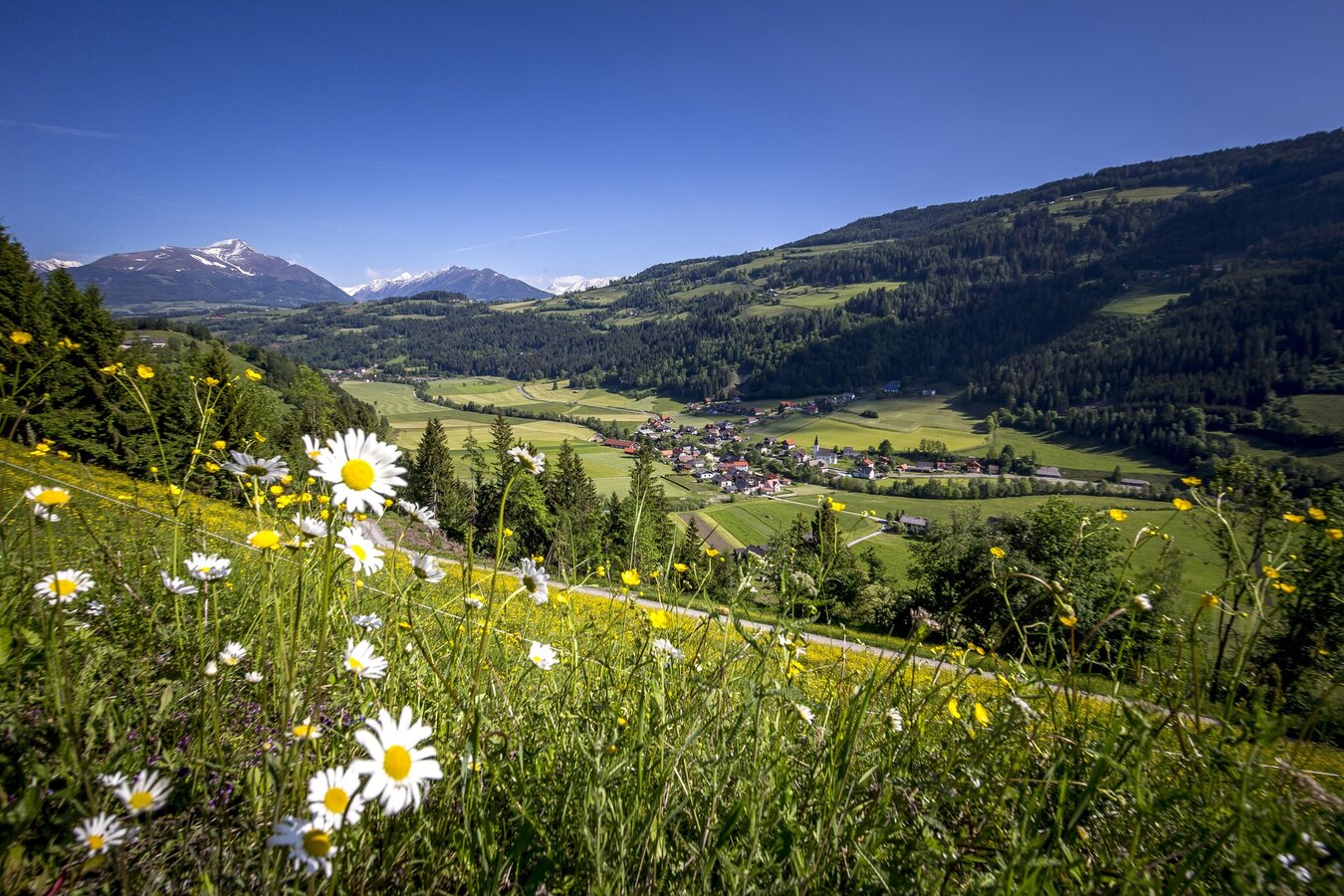
althofen_c_ikarus_1717_tom_lamm_2015.jpg | © TVB Murau | Tom Lamm
1/3
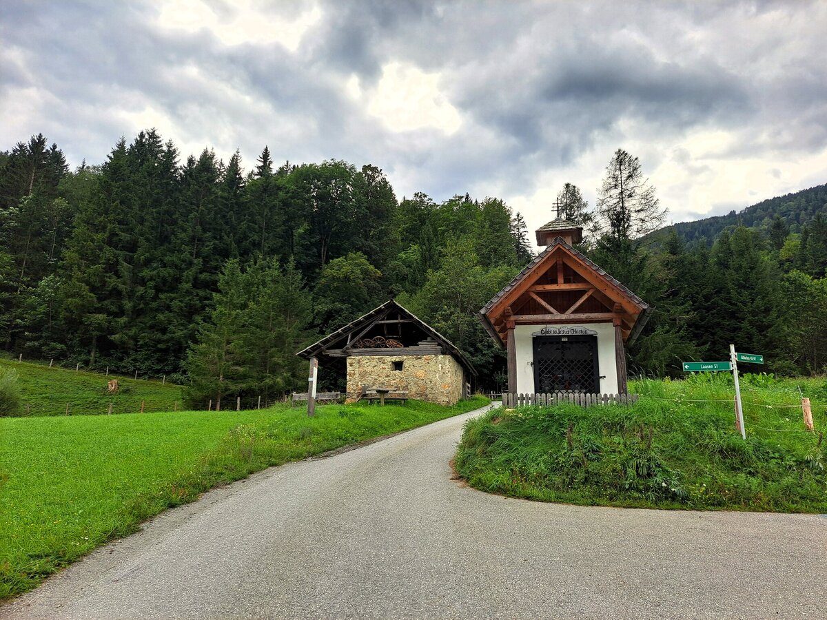
brechlhuette_1840481059.jpg | © TVB Murau | Tamara Mlinar
2/3
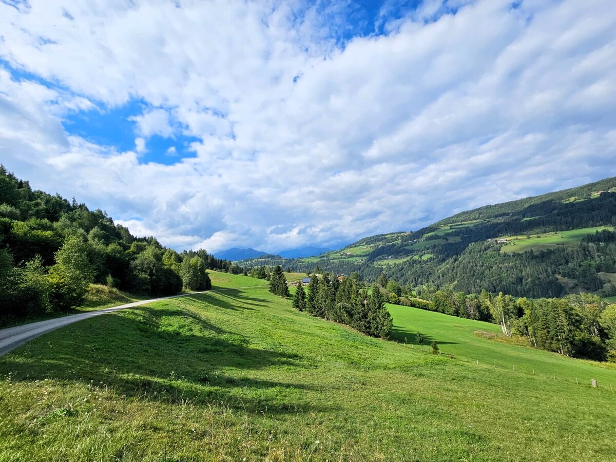
img-20250822-wa0004.jpg | © TVB Murau | Tamara Mlinar
3/3

What the weather will be like St. Peter am Kammersberg (853m)
Today, 23.10.2026
The day starts sunny, but will be partly cloudy in the afternoon.Morning

0°C
sr.Regenwahrscheinlichkeit
0%
sr.Windstärke
5 km/h
Noon

10°C
sr.Regenwahrscheinlichkeit
0%
sr.Windstärke
5 km/h
Night
5°C
sr.Regenwahrscheinlichkeit
5%
sr.Windstärke
5 km/h
Tomorrow, 24.10.2026
The rain will end in the early afternoon, and the skies will break up afterwards.Morning

3°C
sr.Regenwahrscheinlichkeit
80%
sr.Windstärke
5 km/h
Noon
6°C
sr.Regenwahrscheinlichkeit
80%
sr.Windstärke
5 km/h
Night
2°C
sr.Regenwahrscheinlichkeit
35%
sr.Windstärke
5 km/h
Forecast
25.10.2026

-1°C
8°C
26.10.2026

1°C
13°C
27.10.2026
0°C
15°C
