


“Hoher Steg” circular route
Characteristics
SkillThe tour in numbers
Level of difficulty
easy
Route
3,0 km
Time
1:30 h
Uphill
179 hm
Downhill
163 hm
Highest point
1045 m
The reconstruction of the “Hohen Steges” bridge has made it possible to visit an impressive natural monument.
The gorge at the entrance to the Turrach Valley was created by meltwater. This remarkable natural monument and the “Hohe Steg” footbridge can be viewed on a circular walk.
Best season
January
February
March
April
May
June
July
August
September
October
November
December
More information
Coming from Judenburg via Unzmarkt to Scheifling. Keep right here and continue straight on via Teufenbach, Frojach, Murau, St. Georgen ob Murau and Stadl an der Mur to Predlitz.
Public parking spaces are available directly at the Gasthof Steinerwirt, or after the tunnel towards Turracher Höhe.
Coming from Tamsweg, follow the road via Ramingstein straight ahead to Predlitz.
Public parking spaces are available directly at the Gasthof Steinerwirt, or after the tunnel towards Turracher Höhe.
From the parking lot, we head towards Murau until we reach the Prodinger car dealership. There, we turn right towards Pirning, where we also come to the Watschaller Chapel. Once we reach Pirning, shortly after crossing the Pirningbach stream, we turn right to the “Hohen Steg” and then climb approx. 130 steps up to the district of Winkl. Once there, we turn right again to return to the federal highway and the Steinerwirt inn.
- Good shoes
- Sun protection
- Possibly food
For a shorter version, the starting point is in Predlitz in the direction of Turrach, just after the tunnel, where there is a parking lot. From there, a short circular trail leads over the “Hohen Steg” back to the starting point - walking time approx. 30 minutes.
With the BusBahnBim app from the interconnected line, timetable information is easier than ever before: all bus, train and tram connections in Austria can be queried by entering locations and/or addresses, stops or important points. The app is available as a free app for smartphones (Android, iOS) - on Google Play and in the App Store.
ÖBB www.oebb.at | Styria connection line www.busbahnbim.at
The ideal time for this tour is from May to October. Information brochures are available at the various information offices.
Map & downloads
Gallery
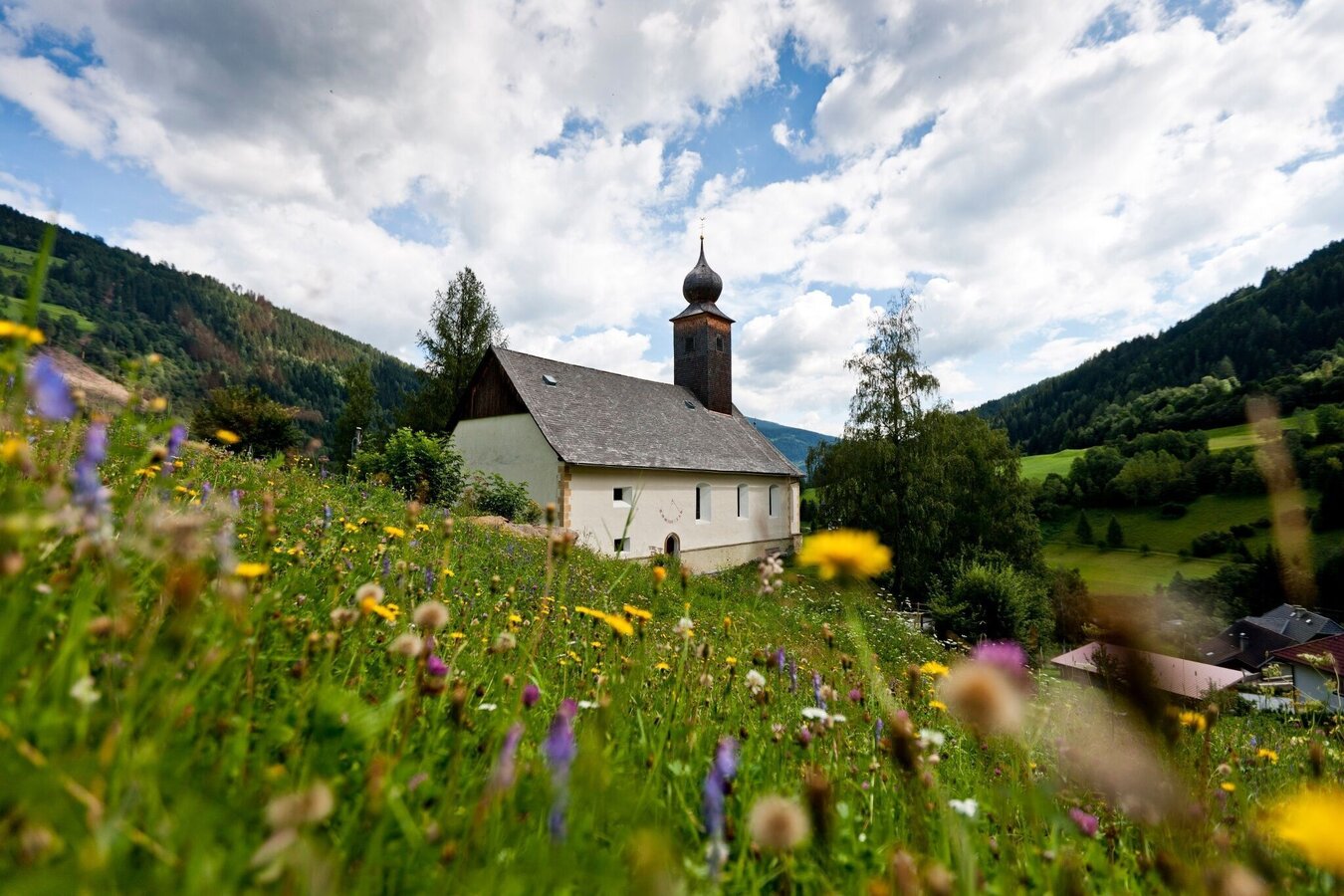
Holzweltobjekt "Pfarrkirche, Predlitz" | © Holzwelt Murau | Tom Lamm
1/3
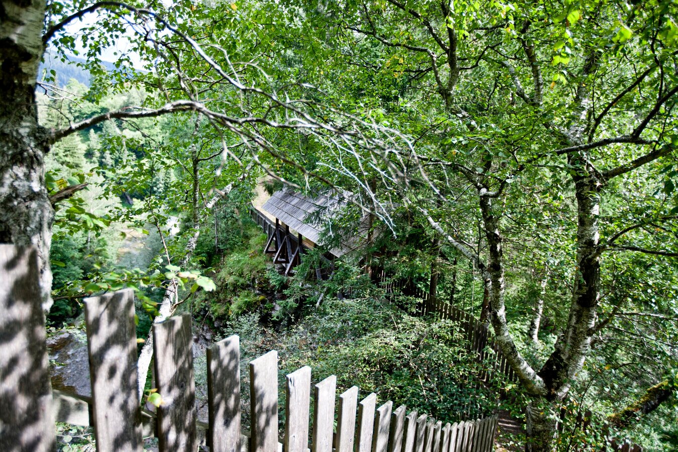
hoher.steg.predlitz1.jpg | © Holzwelt Murau | Tom Lamm
2/3
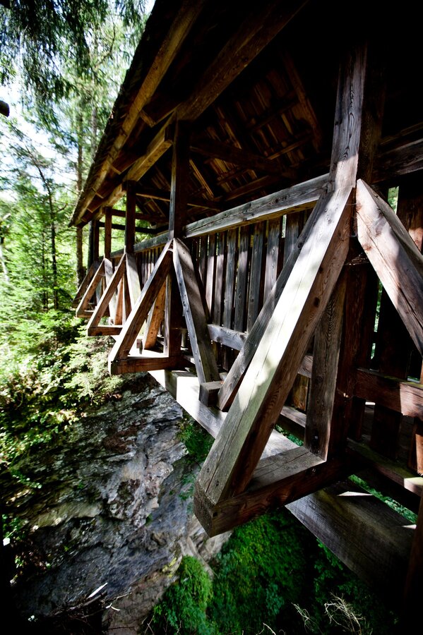
hoher.steg.predlitz2.jpg | © Holzwelt Murau | Tom Lamm
3/3

What the weather will be like Stadl-Predlitz (882m)
Today, 23.10.2026
The day starts sunny, but will be partly cloudy in the afternoon.Morning

-1°C
sr.Regenwahrscheinlichkeit
0%
sr.Windstärke
0 km/h
Noon

10°C
sr.Regenwahrscheinlichkeit
0%
sr.Windstärke
5 km/h
Night

5°C
sr.Regenwahrscheinlichkeit
5%
sr.Windstärke
5 km/h
Tomorrow, 24.10.2026
Rainfall will end around noon, then the clouds will break up.Morning

3°C
sr.Regenwahrscheinlichkeit
80%
sr.Windstärke
5 km/h
Noon

6°C
sr.Regenwahrscheinlichkeit
80%
sr.Windstärke
5 km/h
Night
2°C
sr.Regenwahrscheinlichkeit
40%
sr.Windstärke
5 km/h
Forecast
25.10.2026

-2°C
9°C
26.10.2026
1°C
13°C
27.10.2026
0°C
14°C
