


High trail Scharfes-Eck - incl. Grebenzenhaus
Characteristics
SkillThe tour in numbers
Level of difficulty
medium
Route
10,5 km
Time
4:00 h
Uphill
463 hm
Downhill
460 hm
Highest point
1892 m
The hike is a round in the open terrain with impressive natural spectacle of the Grebenzen.
The hiking trail runs from the Grebenzenhaus or the Greben10 mountain station over the first Grebenzenhöhe to the Dreiwiesenhütte, then on to the Scharfen Eck, and back again.
Best season
January
February
March
April
May
June
July
August
September
October
November
December
More information
Coming from Judenburg via Unzmarkt to Scheifling. Here turn right in the direction of Murau. In Teufenbach turn left towards Mariahof. Continue to the right in the direction of St. Lambrecht.
There is a parking area the Dreiwiesenhütte.
Coming from Murau via Styrian/Carinthian Laßnitz continue straight on in the direction of St. Lambrecht.
There is a parking area the Dreiwiesenhütte.
This loop takes us from the Grebenzenhaus over the ski slope, past the mountain rescue hut, over the First Grebenzenhöhe to the Dreiwiesenhütte, and on across the pastureland of the plateau and the Gunzenberger Alm to the Scharfes Eck. Along the way, we pass the impressive deep dolines (caves) found in the limestone before and after the Grebenzen. The return route first goes over the Dritte Grebenzenhöhe and then back along the same path.
- Good hiking shoes
- Sun protection
- Sufficient food
The Grebenzenhaus can be easily reached via the Greben10 gondola—please check the operating hours.
With the BusBahnBim app of Verbundlinie, timetable information has never been easier: All connections by bus, train and streetcar in Austria can be queried by entering places and/or addresses, stops or important points. The app is available as a free app for smartphones (Android, iOS) - on Google Play and in the App Store.
ÖBB www.oebb.at | Vebundlinie Steiermark www.busbahnbim.at
The ideal time for this tour is from May to September. Information brochures are available at the various information offices.
Map & downloads
Gallery
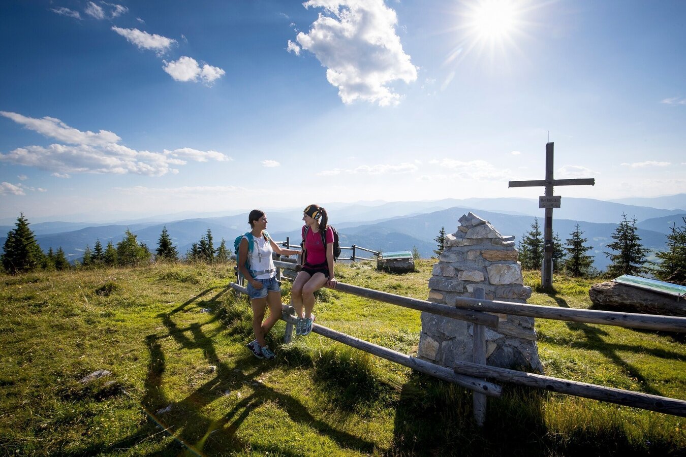
Gipfelsieg Erste Grebenzenhöhe | © Tourismusverband Murau | Tom Lamm
1/3
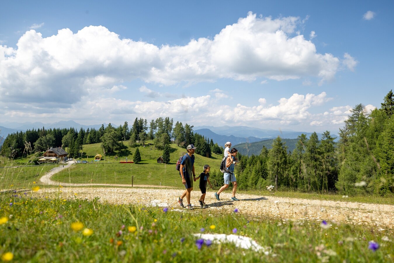
wandern_grebenzen_ctv_murautomlamm_19.jpg | © TVB Murau | Tom Lamm
2/3
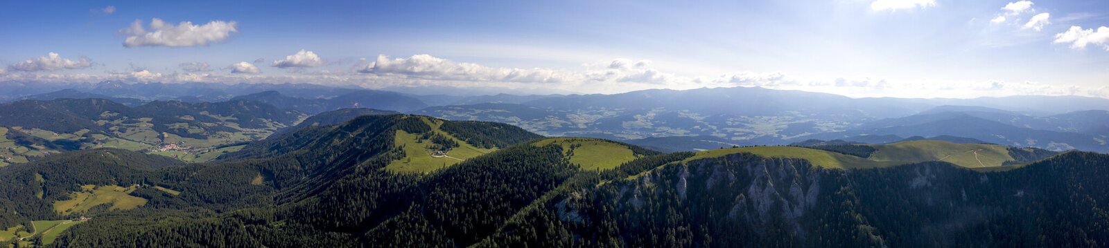
grebenzen_drohnenflug_ctvb_murau-tomlamm_-11.jpg | © TVB Murau | Tom Lamm
3/3

What the weather will be like Neumarkt in der Steiermark (834m)
Today, 23.10.2026
The day starts sunny, but will be partly cloudy in the afternoon.Morning

0°C
sr.Regenwahrscheinlichkeit
0%
sr.Windstärke
5 km/h
Noon

10°C
sr.Regenwahrscheinlichkeit
0%
sr.Windstärke
10 km/h
Night

5°C
sr.Regenwahrscheinlichkeit
0%
sr.Windstärke
5 km/h
Tomorrow, 24.10.2026
Rainfall will end around noon, then the clouds will break up.Morning

3°C
sr.Regenwahrscheinlichkeit
75%
sr.Windstärke
5 km/h
Noon

6°C
sr.Regenwahrscheinlichkeit
75%
sr.Windstärke
10 km/h
Night
2°C
sr.Regenwahrscheinlichkeit
40%
sr.Windstärke
5 km/h
Forecast
25.10.2026

-1°C
8°C
26.10.2026
1°C
12°C
27.10.2026
1°C
13°C
