


Flattnitz-Eisenhut-Winterthalernock
Characteristics
SkillThe tour in numbers
Level of difficulty
medium
Route
22,0 km
Time
10:30 h
Uphill
1425 hm
Downhill
1416 hm
Highest point
2440 m
Sanft eingebettet zwischen bewaldeten Bergen und unberührten Wäldern findet man die Flattnitz auf 1.400 Metern Seehöhe.
Outdoor hearts beat faster on this moderately difficult hike. Various landscape panoramas, viewpoints and lots of nature are offered. Since this is a slightly longer hiking route, a certain level of fitness and endurance is required.
Best season
January
February
March
April
May
June
July
August
September
October
November
December
More information
Coming from Judenburg via Unzmarkt to Scheifling. Keep right here and continue straight on via Teufenbach, Frojach, Murau and St. Georgen ob Murau to Stadl an der Mur. Here you turn left towards Paal and drive along it to Flattnitz.
Public parking spaces are available at the Flattnitz chairlift.
Coming from Tamsweg, follow the road via Ramingstein and Predlitz straight on to Stadl an der Mur. Here you turn right towards Paal and drive along it to Flattnitz.
Public parking spaces are available at the Flattnitz chairlift.
From the parking lot, the trail leads via the Spitzeralm to Hirnloch and Haidner Höhe. From Hirnkopf, hike via Hirnloch to Haidner Höhe (30-40 minutes). There, turn right and follow the pasture fence, enjoying magnificent views over the Kaltebenköpfe. Shortly before the Lattersteigschutzhütte, the trail meets the wide path that leads from the white cross to the Lattersteig. Now hike along the wide promenade carved into the rock around the Lattersteig. At the Falter, turn right down to the Spielriegelsattel and past it to the Rapitzsattel with the turnoff to the Rapitzhütte. Here, you can continue the tour to the Eisenhut or take the steep shortcut directly to the Straßburger Spitz. From the Straßburger Spitz, continue to the Winterthalernock. From there, descend along the Schneid to the Steringer Hut. The gravel road leads from there to the Fürsten Hut. Now continue over the Kalkbrand back to Flattnitz.
- Good shoes
- Rain, cold and sun protection
- Sufficient food
With the BusBahnBim app from the interconnected line, timetable information is easier than ever before: all bus, train and tram connections in Austria can be queried by entering locations and/or addresses, stops or important points. The app is available as a free app for smartphones (Android, iOS) - on Google Play and in the App Store.
ÖBB www.oebb.at | Styria connection line www.busbahnbim.at
Information brochures are available at the various information offices.
Map & downloads
Gallery
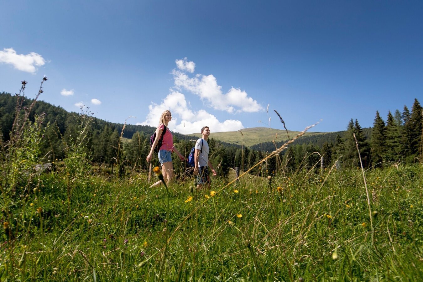
Wandern | © Tourismusverband Murau | Tom Lamm
1/2
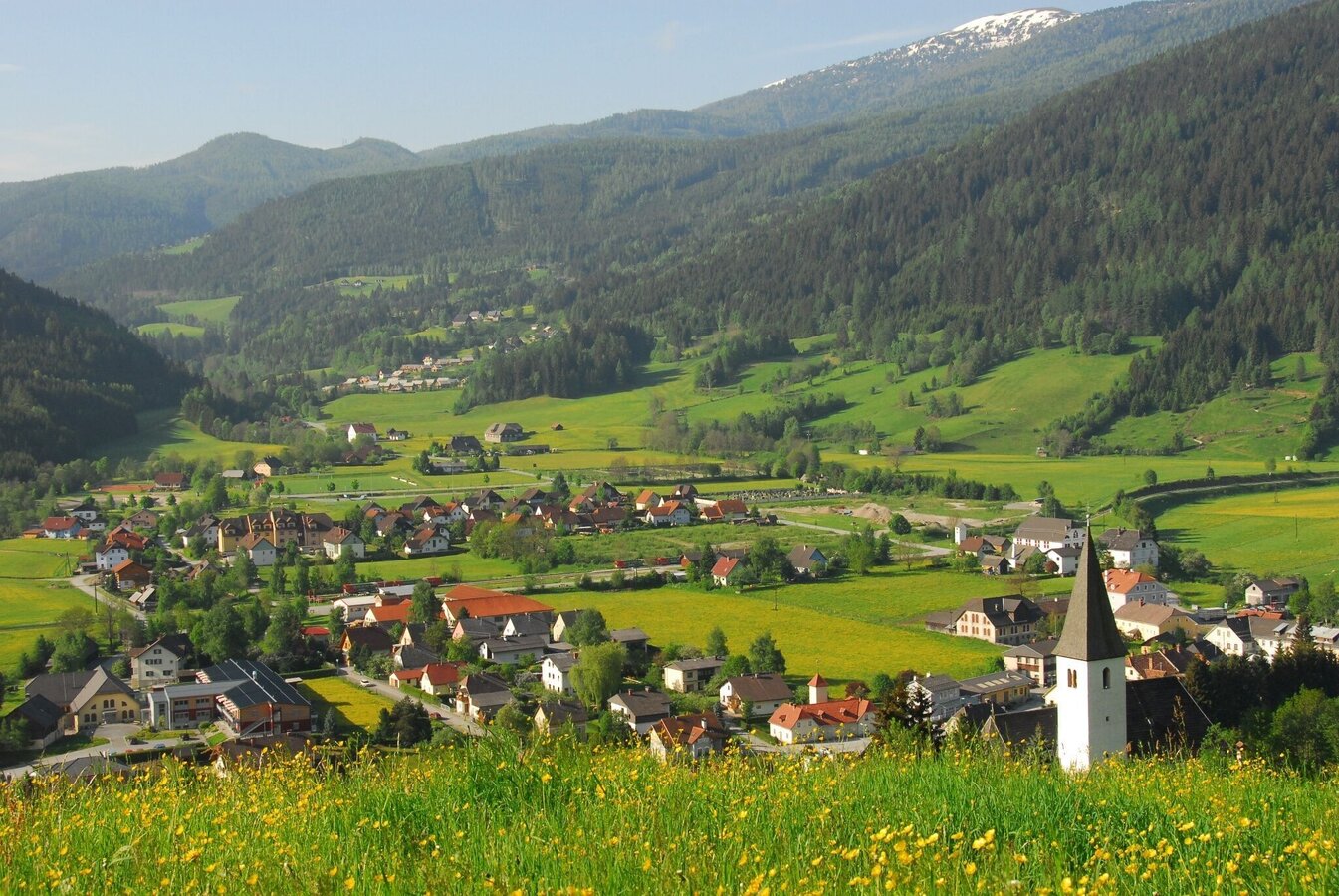
Bick vom Sonnberg auf Stadl an der Mur | © Tourismusverband Murau | Gemeinde Stadl-Predlitz
2/2
