


8-summit hike: From Kreischberg Frauenalpe
Characteristics
SkillThe tour in numbers
Level of difficulty
medium
Route
21,0 km
Time
8:30 h
Uphill
1157 hm
Downhill
1338 hm
Highest point
2166 m
This long and panoramic hike on alpine pastures and paths from Kreischberg to Frauenalpe is a wonderful tour for persistent hikers.
This hike is only recommended for experienced hikers, as it requires plenty of stamina and good planning. However, your efforts are duly rewarded with eight consecutive peaks and a glorious panoramic view. Walking from Kreischberg to the Frauenalpe, you can enjoy the peace of the mountains and idyllic vistas along the entire route. You will meet very few people, if any. Please pack enough food and, above all, ample water for this long tour, as there is nowhere to stop for refreshments on the way. You can start this tour by cable car, completing the first section by gondola lift, or from the Rieglerhütte (you can drive up the access road on opening days) and start your hike at the tree line. After reaching the first peak on the Kreischberg, the route leads gently up and down along the ridge to the Frauenalpe. We advise arranging pick-up from the Murauerhütte, or parking your car there in advance.
Best season
January
February
March
April
May
June
July
August
September
October
November
December
More information
From D, NL, B, F: Via Munich, Salzburg, Tauernautobahn to St. Michael/Lungau (or Radstätter Tauernpaß), turn off to Tamsweg - continue towards Murau.
At the Rieglerhütte on opening days. Otherwise in the town of St. Lorenzen at the train station.
From H: Via St. Gotthard, Graz – Packautobahn (Twimberg exit) – Judenburg – Scheifling – Murau – Kreischberg.
From CH: Via Arlberg, Innsbruck, Bischofshofen, Tauernautobahn.
From I: Via Tarvis, Villach, St. Veit/Glan, Scheifling, Murau, Kreischberg.
By car from Vienna: Via Semmering, Bruck/Mur, Judenburg, Scheifling, Murau, Kreischberg.
At the Rieglerhütte on opening days. Otherwise in the town of St. Lorenzen at the train station.
Starting point at the Rieglerhütte/mountain station for the Kreischberg 6-seater gondola lift (1,760m), Hiking Trail 3 runs partly along the ski slope to the Kreischberg summit under the Schirmbar (1,981m) and on to the Rosenkranzhöhe (2,118m) peak. From there, the route passes into a small dip. The climb up to the Kirbisch (2,140m) peak begins here. Then it's on to the Kirbischhals, followed by the Seeriegel (2,120m). This is the only point with views of the Hauserersee lake. Continue over the Seeriegel to the Goldachnock (at 2,171m), the highest peak on the hike. From here, we continue walking to the Schattloch and the Prankerhöhe (2,166), the most striking peak on the tour. The route continues to the Teringerloch, then to the Schwarmbrunnhöhe (2,120m), the Seebodenhöhe and the Ursch. The ascent to the Ackerlhöhe (2,040m) begins here, then it's on to the Turnhoferhütte and the Troghütte (1,816m). From the Troghütte, the route continues to the Murmelfelsen with cross (1,880m). Please look out for the signpost "Frauenalpe no. 2". A post marker points the way to the Frauenalpe. The descent runs from the summit via the Bernhard-Fest-Hütte, passing the Käsereihütte and finally the Murauerhütte. To get back to the valley, follow Trail 132/109 to Murau (duration: approx. 1 3/4 hours.). You can also get to Murau from the Frauenalpe by taxi.
- Plan your tours carefully & stay flexible.
- Bring the right equipment.
- Check current weather information.
- Cancel your trip in the event of poor weather.
- If there is an accident, remain calm. Emergency mountain rescue number: 140
- Take your rubbish with you.
- Act calmly when encountering animals on the mountain pastures (alps).
- Always keep dogs on a lead.
- Sturdy footwear with high-grip soles, protection against the rain, the cold and the sun, enough drink, hiking maps, emergency equipment (dressings, blister pads, etc.)
- Packing your rucksack properly makes things much easier: pack heavy items first. Your water bottle should always be stored within reach in a side pocket. Items used often, such as sun glasses, camera, maps, etc., go on top.
- Get the hiking pin pass from the information offices in the Murau region and secure your golden hiking boots.
With the BusBahnBim app from the interconnected line, timetable information is easier than ever before: all bus, train and tram connections in Austria can be queried by entering locations and/or addresses, stops or important points. The app is available as a free app for smartphones (Android, iOS) - on Google Play and in the App Store.
ÖBB www.oebb.at | Styria connection line www.busbahnbim.at
Information brochures are available at the various information offices. Freytag & berndt, Wander-Rad-Freizeitkarte, WK 211, Naturpark Zirbitzkogel Grebenzen, Murau, Sölkpass, 1:50 000, ISBN 978-3-85084-680-6
Map & downloads
Gallery
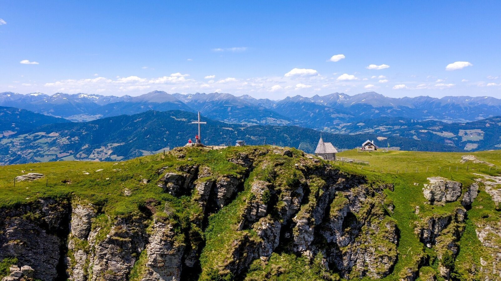
Frauenalpe | © Tourismusverband Murau | Tom Lamm
1/3
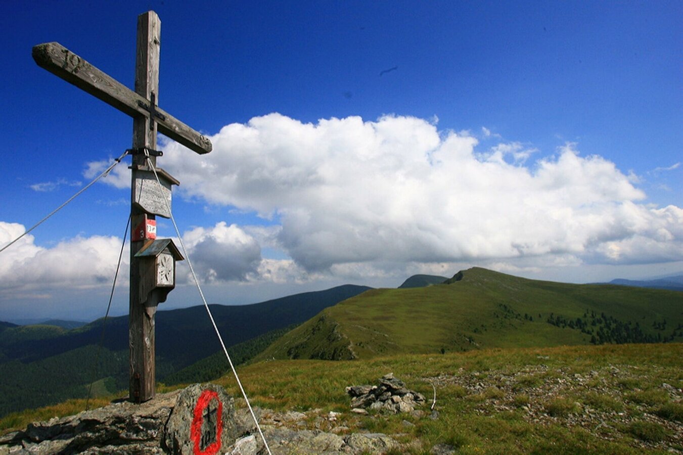
Kirbisch-Gipfel | © Tourismusverband Region Murau | Tourismusverband Murau
2/3
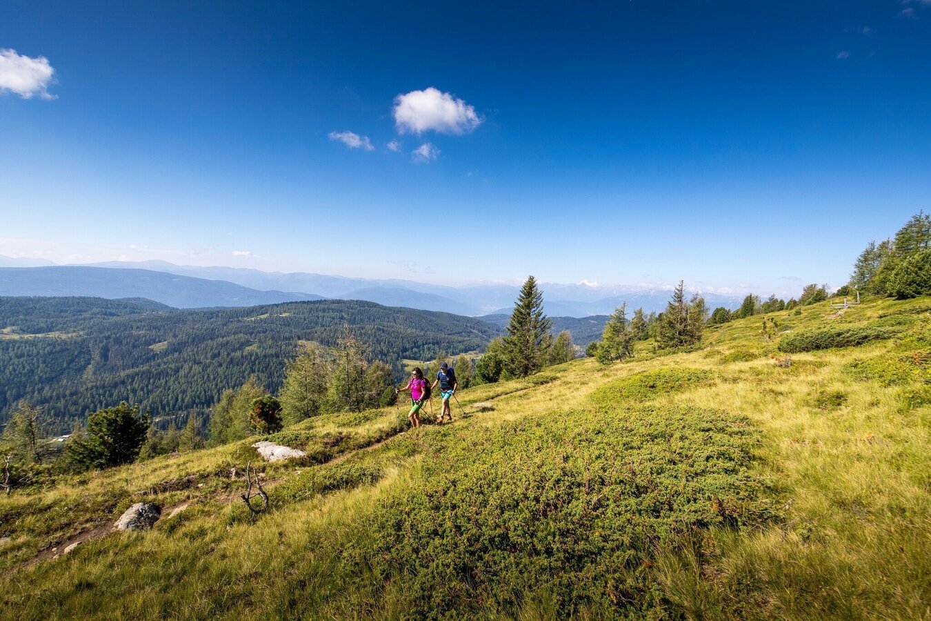
Wandern in der Region Murau | © Tourismusverband Murau | Infobüro Murau
3/3

What the weather will be like St. Georgen am Kreischberg (851m)
Today, 23.10.2026
The day starts sunny, but will be partly cloudy in the afternoon.Morning

0°C
sr.Regenwahrscheinlichkeit
0%
sr.Windstärke
5 km/h
Noon

10°C
sr.Regenwahrscheinlichkeit
0%
sr.Windstärke
5 km/h
Night
5°C
sr.Regenwahrscheinlichkeit
5%
sr.Windstärke
5 km/h
Tomorrow, 24.10.2026
Rainfall will end around noon, then the clouds will break up.Morning

3°C
sr.Regenwahrscheinlichkeit
80%
sr.Windstärke
5 km/h
Noon

7°C
sr.Regenwahrscheinlichkeit
85%
sr.Windstärke
5 km/h
Night

2°C
sr.Regenwahrscheinlichkeit
40%
sr.Windstärke
5 km/h
Forecast
25.10.2026

-1°C
8°C
26.10.2026
1°C
13°C
27.10.2026
0°C
14°C
