


Power place hike 5: Calvary
Characteristics
SkillThe tour in numbers
Level of difficulty
easy
Route
3,3 km
Time
1:15 h
Uphill
129 hm
Downhill
119 hm
Highest point
1307 m
Beautiful power place hike with 5 power places on the way to Kalvarienberg Krakaudorf. Beautiful view of the entire Krakau.
Place 5.1 Space fairy in the larch grove (Einigspiern into the country)
Place 5.2 Breath of the Earth (Einigspinen in Land)
Place 5.3 Tree kingdom of the gnomes (Einigspieren into the land)
Place 5.4 Kingdom of Light of the Gnomes (Einigspiern into the land)
Place 5.5 Mental-spiritual center of the moon and the earth (Ins Land einischaun)
Best season
January
February
March
April
May
June
July
August
September
October
November
December
More information
East: From Vienna on the A 2 and S 6 to Leoben and St. Michael i. d. E., continue on the S 36 to Judenburg and on the B 96 to Murau. From Murau via Ranten to Krakau.
West, North: From Bregenz/Innsbruck via the A 12, A 93 and A 8 to Salzburg. From Salzburg on the A 10 to St. Michael im Lungau. From here on the B 96 to Tamsweg and further towards Murau via Sauerfeld to Krakau.
South: From Klagenfurt on the B 83 to Scheifling. Then take the B 96 to Murau and on to Krakau.
Municipal office head north to the junction to the bathing lake or to Kalvarienberg - follow the forest path towards Kalvarienberg - turn left at the first station of the Way of the Cross - follow the markings to the chapel. From the chapel with a wonderful view - follow the path along the Stations of the Cross to the forest road - on the same path back to the starting point (shortcut possible before the saw through the larch forest) (5.1: on the cattle pasture below the forest road to the Kalvarienberg, directly above the small “powder hut” - larch grove.; 5.2: in the middle of the meadow under the mountain - single spruce tree; 5.3 and 5.4: in front of chapel in the forest; 5.5: Calvary chapel)
Variant: Combine this power place hike with the power place hike 6 Günster Wasserfall and hike on path number 12 to the waterfall.
With the BusBahnBim app from the interconnected line, timetable information is easier than ever before: all bus, train and tram connections in Austria can be queried by entering locations and/or addresses, stops or important points. The app is available as a free app for smartphones (Android, iOS) - on Google Play and in the App Store.
ÖBB www.oebb.at | Styria connection line www.busbahnbim.at
Public parking spaces are available directly at the Krakau municipal office.
This hike is possible all year round. Information brochures are available at the various information offices.
Map & downloads
Gallery
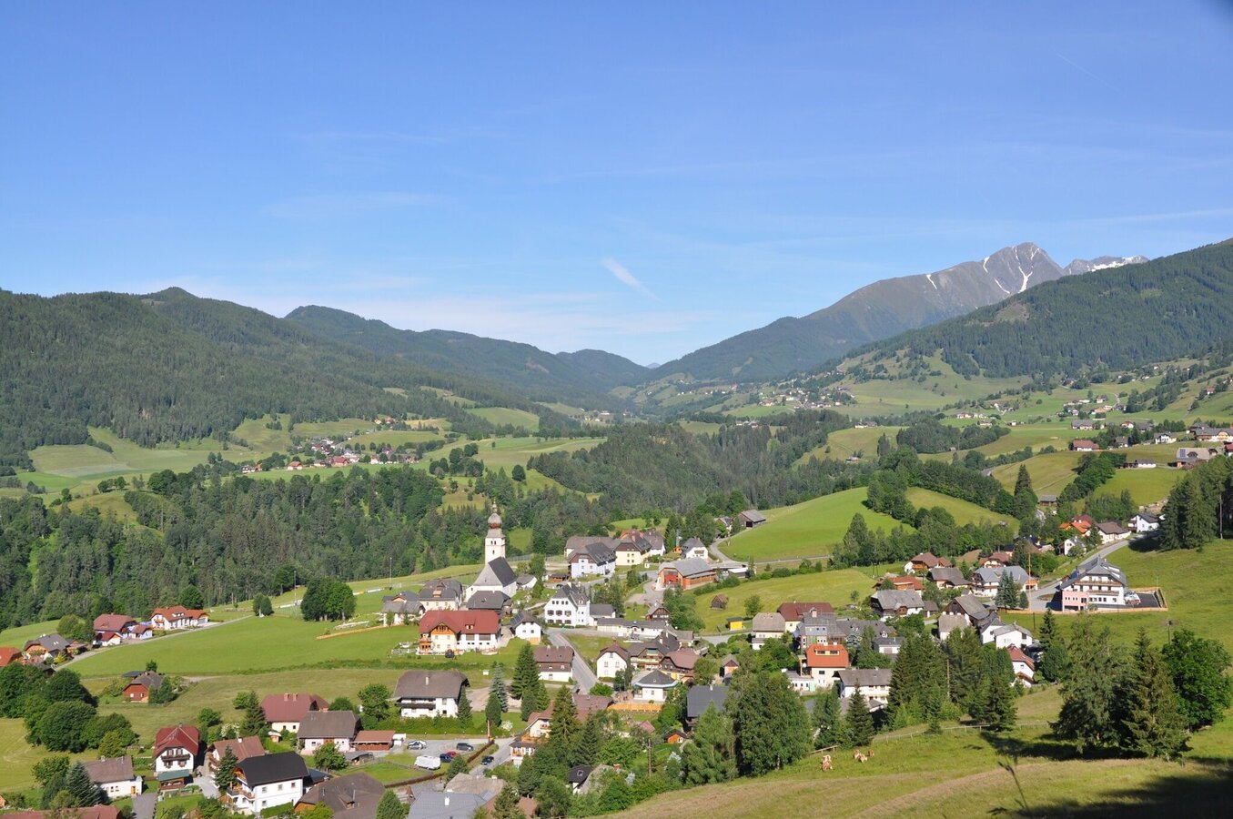
Krakau Dorfbild | © Tourismusverband Murau | Ewald Siebenhofer
1/2
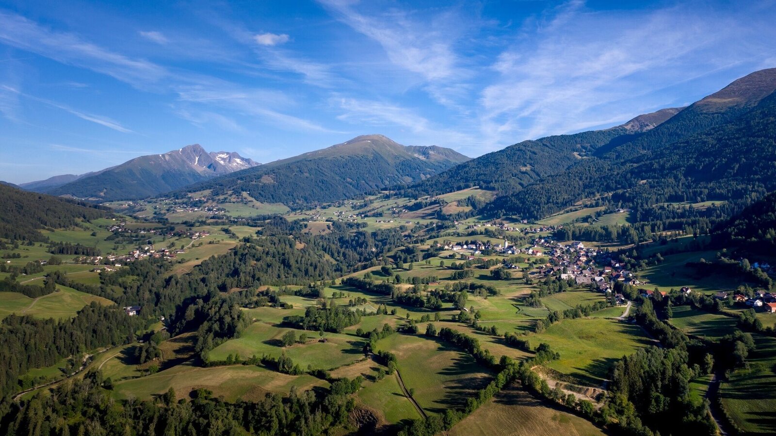
Krakau | © Tourismusverband Murau | Tom Lamm
2/2

What the weather will be like Krakau (1171m)
Today, 20.08.2026
Dry and fair in the early morning, later frequent thunderstorms.Morning

15°C
sr.Regenwahrscheinlichkeit
20%
sr.Windstärke
0 km/h
Noon

23°C
sr.Regenwahrscheinlichkeit
60%
sr.Windstärke
10 km/h
Night
16°C
sr.Regenwahrscheinlichkeit
80%
sr.Windstärke
5 km/h
Tomorrow, 21.08.2026
A high risk of thunderstorms throughout the whole day.Morning

14°C
sr.Regenwahrscheinlichkeit
80%
sr.Windstärke
5 km/h
Noon
18°C
sr.Regenwahrscheinlichkeit
85%
sr.Windstärke
10 km/h
Night
14°C
sr.Regenwahrscheinlichkeit
85%
sr.Windstärke
10 km/h
Forecast
22.08.2026

9°C
17°C
23.08.2026

9°C
18°C
24.08.2026
8°C
21°C
