


Through the Gofergraben
Accessible by public transport- Public bus (within 15 minutes walking distance from starting point)
Characteristics
SkillThe tour in numbers
Level of difficulty
easy
Route
6,9 km
Time
2:25 h
Uphill
365 hm
Downhill
365 hm
Highest point
981 m
Easy, family-friendly hike without the option of stopping for refreshments.
The Goferhütte is a refuge belonging to the Gebirgsverein and offers overnight accommodation to members.The Goferhütte is also not managed in the summer months.
Best season
January
February
March
April
May
June
July
August
September
October
November
December
More information
Gesäusebundesstraße B 146 from Admont or Hieflau to the bus stop Gofergraben
Parking bay next to the Gesäuse federal road
Parking bay next to the Gesäuse federal road
We start our hike right away with a decent climb on the forest road. But the view of the Admont Reichenstein rewards us for the effort. Soon the road disappears into a cooling mixed forest, and especially in spring we are accompanied by many different bird voices from the cuckoo to the chiffchaff and various species of woodpeckers. The flora is also particularly lush here, especially in the upper rocky parts along the path. Unforgettable in spring is a steep rock face next to the forest road, full of Petergstamm, the alpine auricula. But please only admire it and hunt it with your digicam, it is strictly protected. After numerous hairpin bends, we have covered the metres in altitude and hike along a flat stretch of path, crossing the Goferbach stream, to a small alpine meadow, the Goferalm with the Goferhütte hut. Around the hut we look for a comfortable place to have a snack. With a bit of luck we can watch a golden eagle using the thermals north of the Reichenstein to gain altitude.Finally, we make our way back, eyes wide open, to inhale the view of the Buchstein and Tamischbach Tower, then in the lower area the imposing wall of the Raspberry Stone and the Admont Reichenstein.
Sturdy hiking boots or good trekking shoes
Hiking backpack
Water bottle
First aid kit including blister plasters
Hiking map and smartphone
Snacks
Sunglasses
Sunscreen
You should also be well prepared for changeable weather.
Packing your backpack correctly makes things much easier:
Pack heavy items first. Your water bottle should always be easily accessible in a side pocket. Everything you need frequently, such as sunglasses, your smartphone, or hiking map, should be packed on top.
Hiking backpack
Water bottle
First aid kit including blister plasters
Hiking map and smartphone
Snacks
Sunglasses
Sunscreen
You should also be well prepared for changeable weather.
Packing your backpack correctly makes things much easier:
Pack heavy items first. Your water bottle should always be easily accessible in a side pocket. Everything you need frequently, such as sunglasses, your smartphone, or hiking map, should be packed on top.
An insider tip for all those who are looking for silence and tranquillity and who are ready to absorb the language of nature with open eyes and ears!
Postbus Linie 912 Haltestelle Gofergraben
Gesäuse Tourism Association
Hauptstraße 35, 8911 Admont, Austria
t: +43 3613 2116010
Email: info@gesaeuse.at
www.gesaeuse.at
Map & downloads
Gallery
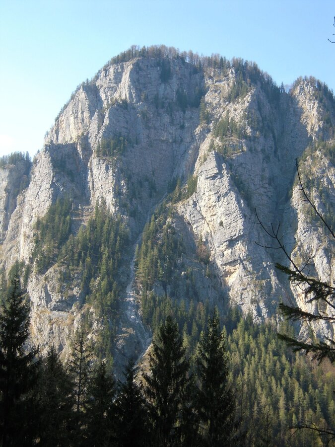
Blick vom Gofergraben zum Himbeerstein | © TV Gesäuse | Irmi Gruber
1/7
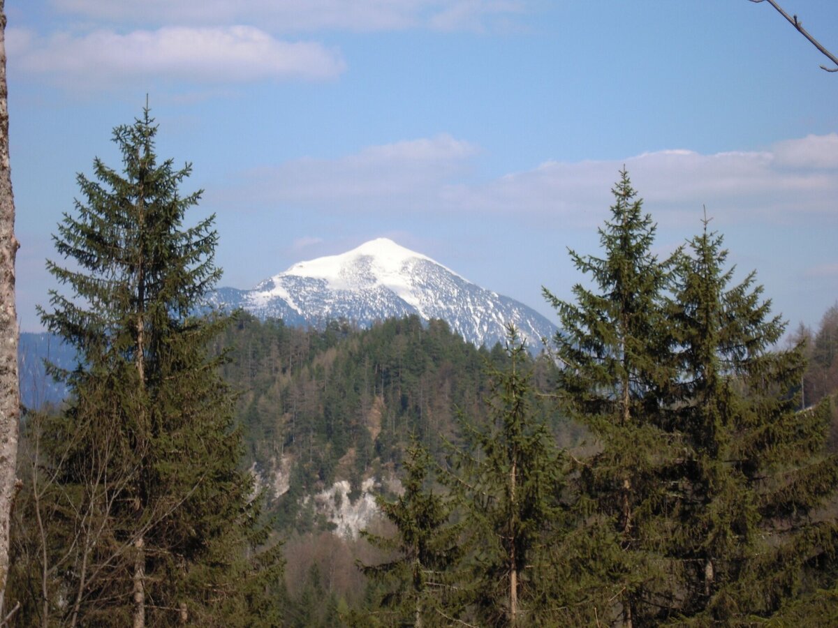
Blick vom Gofergraben zum Tamischbachturm | © TV Gesäuse | Irmi Gruber
2/7
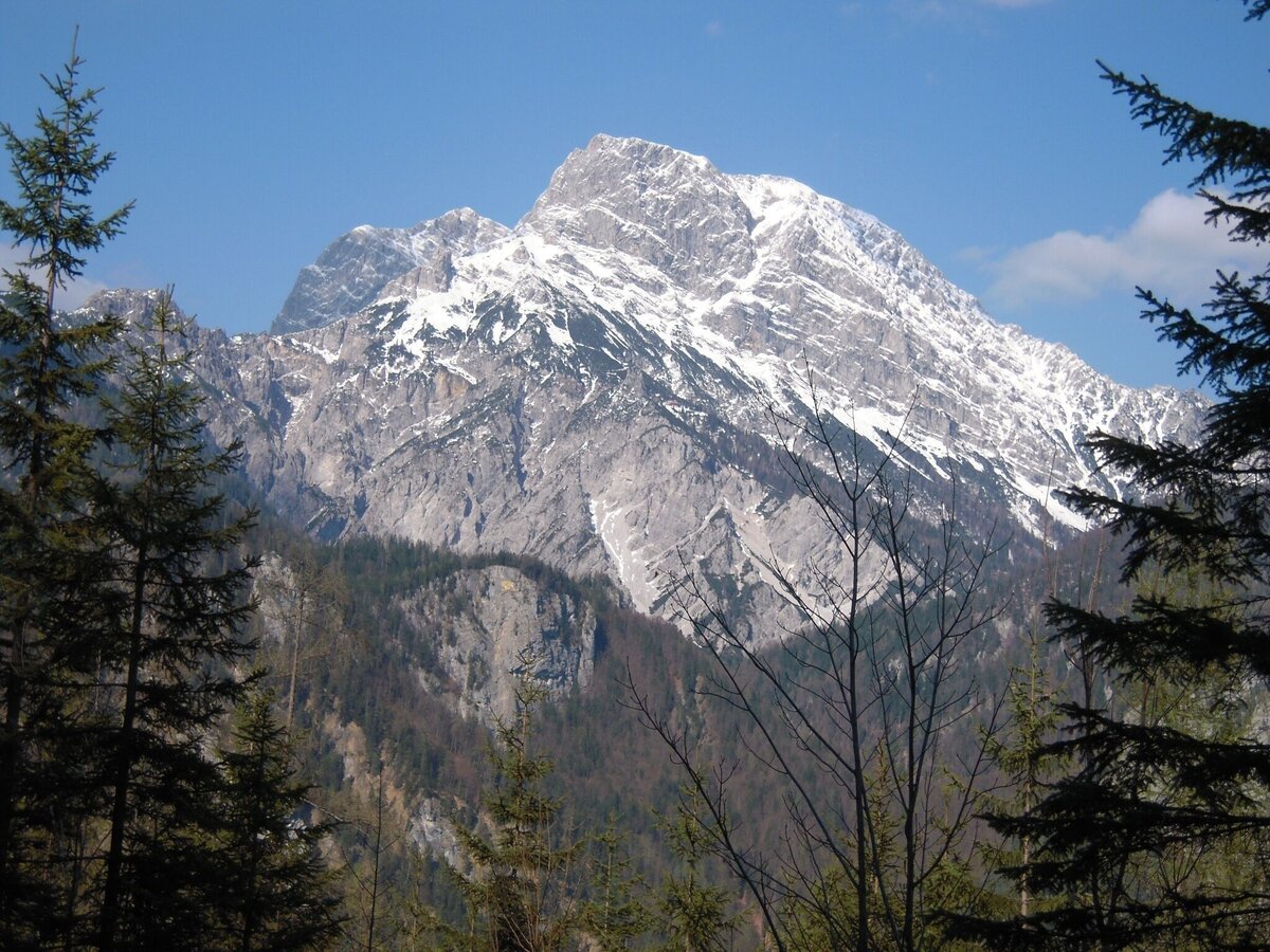
Blick vom Gofergraben zum Buchstein | © TV Gesäuse | Irmi Gruber
3/7
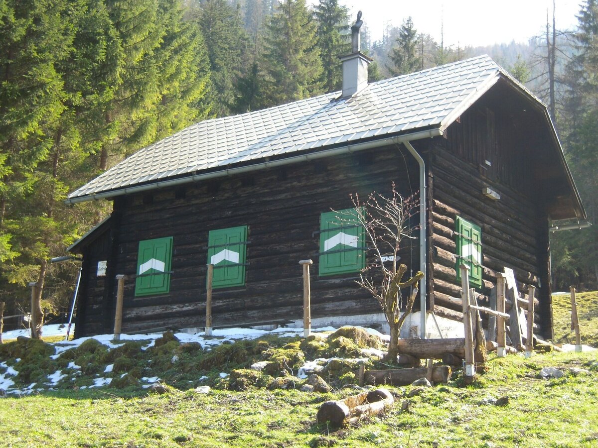
Goferhütte | © TV Gesäuse | Irmi Gruber
4/7
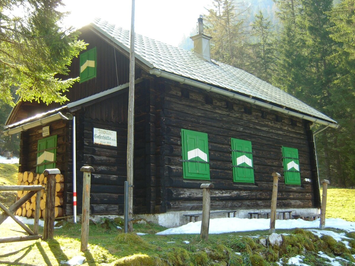
Goferhütte | © TV Gesäuse | Irmi Gruber
5/7
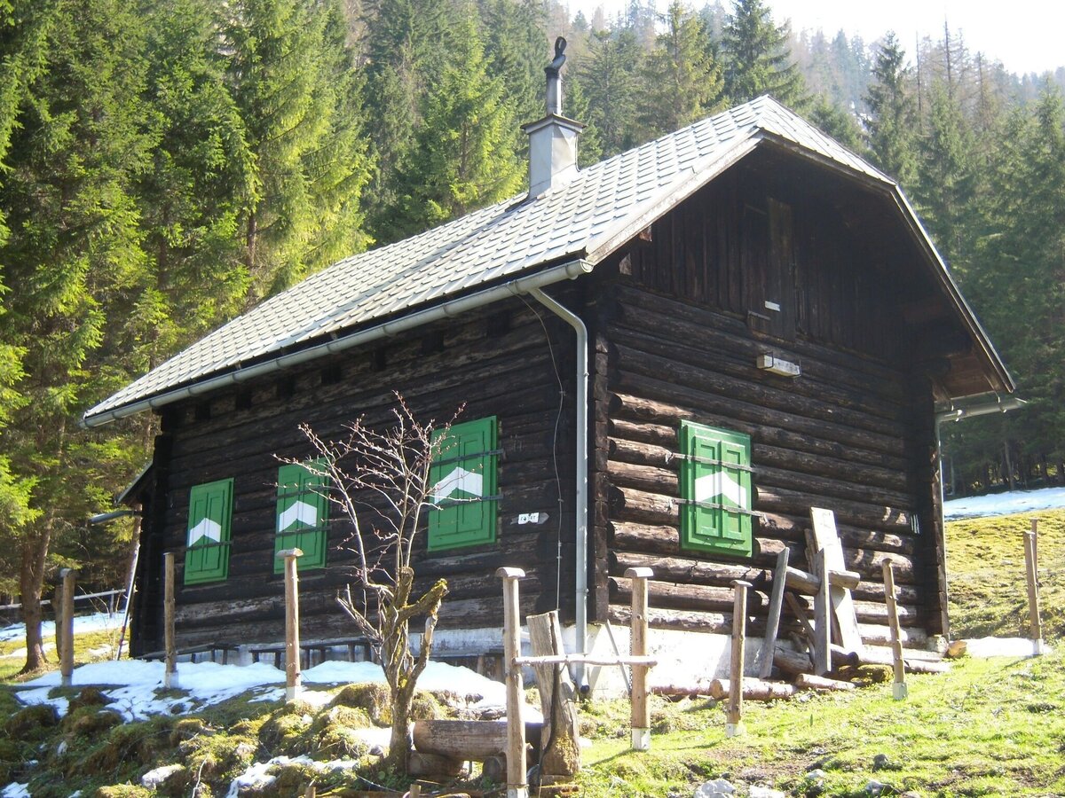
Goferhütte | © TV Gesäuse | Irmi Gruber
6/7
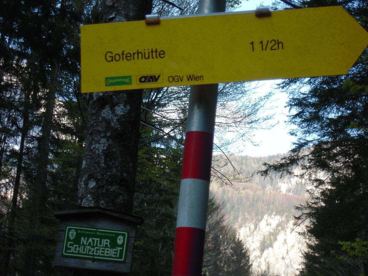
Wegweiser Goferhütte | © TV Gesäuse | Irmi Gruber
7/7

What the weather will be like Admont (635m)
Today, 01.10.2026
Dry and sunny throughout the day with hardly any clouds.Morning

10°C
sr.Regenwahrscheinlichkeit
0%
sr.Windstärke
5 km/h
Noon
22°C
sr.Regenwahrscheinlichkeit
0%
sr.Windstärke
5 km/h
Night
14°C
sr.Regenwahrscheinlichkeit
0%
sr.Windstärke
5 km/h
Tomorrow, 02.10.2026
Dry and partly sunny throughout the day, with cloudy periods from time to time.Morning

6°C
sr.Regenwahrscheinlichkeit
0%
sr.Windstärke
0 km/h
Noon

19°C
sr.Regenwahrscheinlichkeit
0%
sr.Windstärke
5 km/h
Night
12°C
sr.Regenwahrscheinlichkeit
0%
sr.Windstärke
0 km/h
Forecast
03.10.2026
4°C
22°C
04.10.2026
3°C
21°C
05.10.2026
8°C
21°C
