


High Student - Summit Tour
Characteristics
SkillThe tour in numbers
Level of difficulty
medium
Route
9,8 km
Time
4:00 h
Uphill
742 hm
Downhill
737 hm
Highest point
1539 m
If you want to reach two summit crosses in a row within a short time, this tour to the "Hohe Student" is recommended.
German (default)The "Hohe Student" is mostly pronounced feminine, although on the signposts it is called "Hoher Student". An explanation can be found if you do some research on the internet. The name has nothing to do with student. The name probably comes from the Slavic language and comes from "Studena" = the cold one. This probably refers to the karst spring on the northern slope, which is very productive and supplies Halltal and Mariazell with drinking water.
Best season
January
March
March
April
May
June
July
August
September
October
November
December
More information
Coming from Mariazell, turn right just after the Halltal sign.
Parking is possible at the small parking lot on the left before the salt bridge.
Parking is possible at the small parking lot on the left before the salt bridge.
From Halltal across the Salza (red marked 11) and then left through the farm. Continue on forest paths and a climb over the Haselgraben onto a forest road. Here turn left onto a steep path, on the following meadow ground from the marked alpine path hike left over an unmarked steep path up to the Haselspitz. On the continuing ridge we now go down to the right and on the steep path, then continue to the marked alpine path. On the left we then pass the Studentalmhütte, which is not managed, and finally reach the meadow floor below the Haselspitz. Descent on the same path back to the starting point.
Along the hike there are no refreshment facilities (hut on the Studentalm not managed) - please pack a snack and a drink!
Emergency call mountain rescue: 140
Tip for reporting an emergency - give answers to the six W-questions: What happened? How many injured? Where did the accident happen (possibly GPS coordinates)? Who is reporting (callback number)? When did the accident happen? Weather at the accident site?
Proper backpacking makes many things easier: pack heavy things first. The water bottle should always be within easy reach in a side pocket. All things that are often needed, such as sunglasses, camera or hiking map, belong on top. An emergency kit including blister plaster belongs in every backpack and a clothing according to the "onion system" is always recommended! Sturdy shoes are required!
Stop at the beginning or end of the tour at the Dorfgasthaus Halltal - Contact: Tel.: +43 3882 20020 (closed on Tues.)
Timetables and travel information to Mariazell can be found directly at: www.oebb.at. or www.busbahnbim.at.
Tourism Association Hochsteiermark - Mariazeller Land
Main square 13, 8630 Mariazell
Tel.: 03882/2366
You can get the hiking map in the office of the tourist office ,Hauptplatz 13, MariazellMap & downloads
Gallery
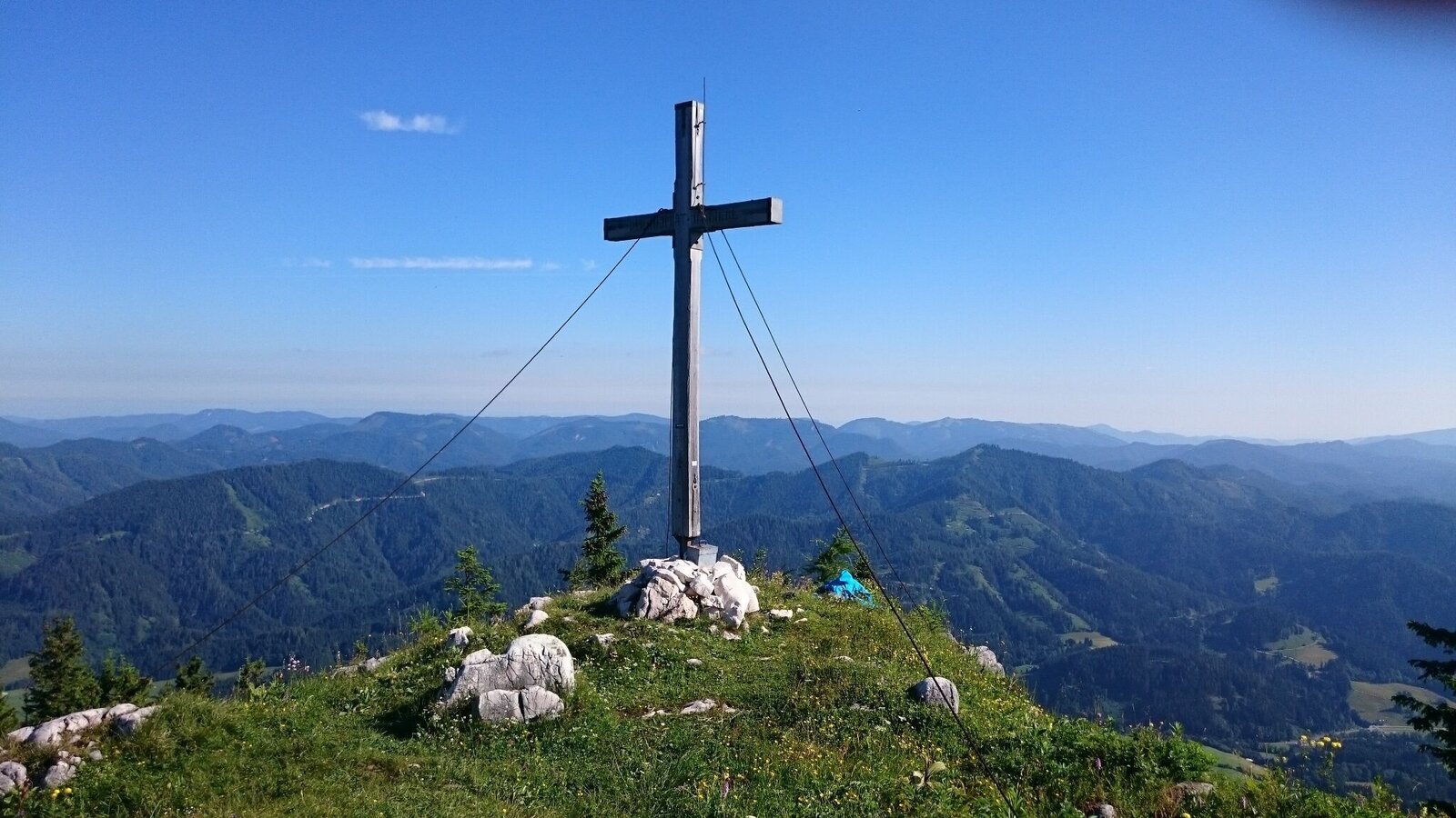
Gipfelkreuz | © TV Hochsteiermark | Brigitte Digruber
1/4
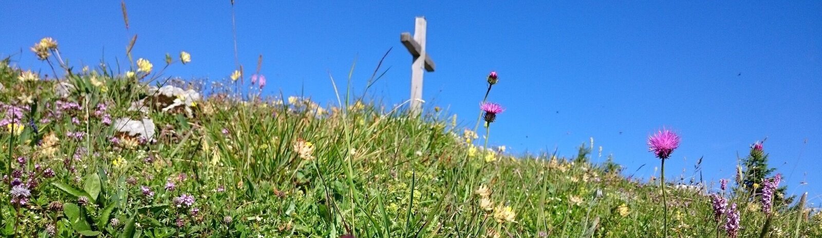
Panorama | © TV Hochsteiermark | Brigitte Digruber
2/4
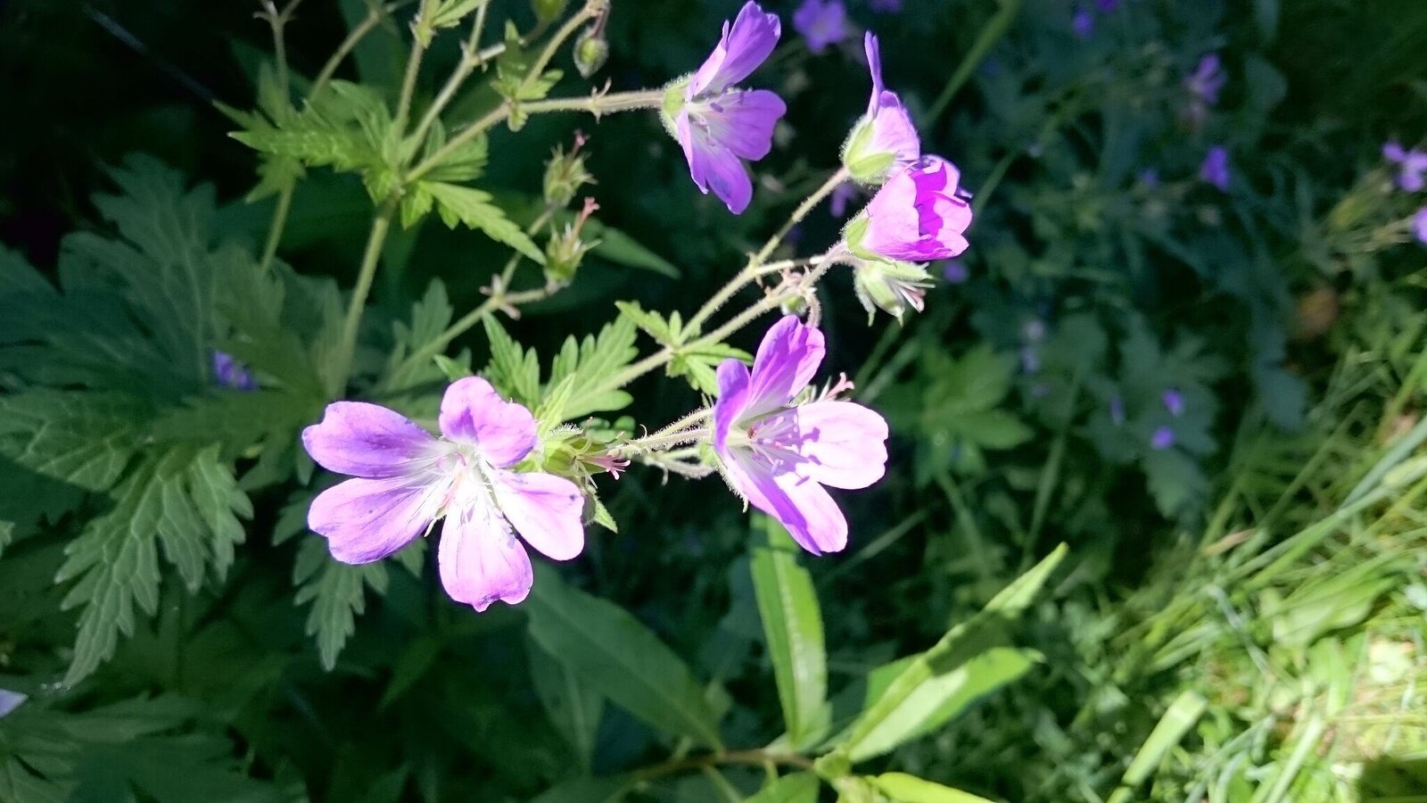
Blumen am Weg | © TV Hochsteiermark | Brigitte Digruber
3/4
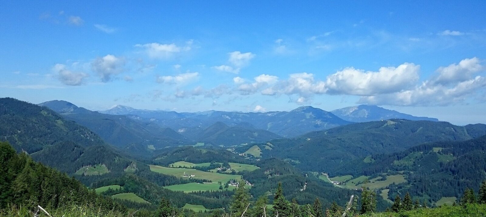
Aussicht auf das Mariazeller Land | © TV Hochsteiermark | Brigitte Digruber
4/4

What the weather will be like Mariazell (860m)
Today, 29.09.2026
Dry and sunny throughout the day with hardly any clouds.Morning

10°C
sr.Regenwahrscheinlichkeit
0%
sr.Windstärke
20 km/h
Noon
20°C
sr.Regenwahrscheinlichkeit
0%
sr.Windstärke
20 km/h
Night
14°C
sr.Regenwahrscheinlichkeit
0%
sr.Windstärke
15 km/h
Tomorrow, 30.09.2026
Dry and sunny throughout the day with hardly any clouds.Morning
9°C
sr.Regenwahrscheinlichkeit
0%
sr.Windstärke
10 km/h
Noon
20°C
sr.Regenwahrscheinlichkeit
0%
sr.Windstärke
20 km/h
Night
13°C
sr.Regenwahrscheinlichkeit
0%
sr.Windstärke
15 km/h
Forecast
01.10.2026
8°C
21°C
02.10.2026

6°C
20°C
03.10.2026
5°C
21°C
