


Trans Nationalpark Et 01 (Steyr-Reichramming)
Characteristics
FitnessThe tour in numbers
Level of difficulty
challenging
Route
51,7 km
Time
6:45 h
Uphill
1217 hm
Downhill
1167 hm
Highest point
966 m
Start full of contrasts: From one of Austria's most beautiful historic towns through the lonely Reichraminger Hintergebirge mountains to the tranquil village of Reichraming.
E-Mobility Steyr-Historischer Stadtplatz-an der Enns via Garsten, Dürnbach,Trenber to BHF Trattenbach-Kiesberg-Schneegraben-Geißhanslhütte-Weißenbachl-Dirnbach-Reichraming
Coming from the north, Steyr is, so to speak, the last bastion of urbanity before the lonely primeval worlds of the Kalkalpen and Gesäuse National Parks. And what a bastion it is! The beautiful old town makes it hard to say goodbye, but what follows is no less beautiful: an idyllic hilly landscape with rural hamlets takes you along the Enns to the Reichraminger Hintergebirge. It suddenly gets lonely - it is not for nothing that the mountains are considered the largest closed, practically uninhabited forest area in Austria. Uphill and downhill forest roads lead you through the mountains to Reichraming.
Best season
January
February
March
April
May
June
July
August
September
October
November
December
More information
von Linz A1/ Abfahrt Enns West / 43 km
Chargeable parking at the Ennskai.
von Wien A1 / Abfahrt Haag / 183 km
von Salzburg A1 / Abfahrt Sattledt / 138 km
von Graz A9 / Abfahrt St. Pankraz / 190 km
von Passau A3(Wels) + A1(Enns West) / 144 km
von München über Salzburg / 260 km
München-Flughafenüber über Passau / 296 km
Chargeable parking at the Ennskai.
For a stay of more than 3 hours, we recommend the Stadtplatzgarage at Dukartstr. 1A.
The Trans National Park starts at the e-bike rental shop "E-Mobility" not far from the historic main square of Steyr. When you are in front of the shop, keep to the right and cycle along the Altstadtgasse to the Hauptplatz. Now go straight across the beautiful Hauptplatz to the gate at the opposite end of the square. Pass through the right-hand side gate, immediately turn right downhill and follow the road sharply to the left for a few metres until you reach the Enns. Before you reach the river, turn right onto the Enns cycle path and follow it along the Enns for quite a while until you reach a wooden bridge. Cross it to the left, continue straight ahead along the small road (ignore the cycle path signs "R7") and briefly turn left uphill until you reach a larger road. Follow this to the right until you reach another road. Now turn left and continue to the Enns (the last part of your route did not run directly along the Enns), which you continue to follow along its right bank to the hamlet of Sand. At a road junction, the first sidekick "Damberg-Schwarzberg-Runde" branches off to the left across the Enns. The main route of the Trans National Park, however, follows the right-hand road further along the Enns to Ternberg and - without changing banks - straight on to Trattenbach.
Here you leave the Enns cycle path (this would branch off to the left in Trattenbach) and ride straight uphill along the small road through the valley to the upper part of Trattenbach. Turn left onto a small asphalt road and ride uphill for a while (if in doubt, always choose the uphill or larger road). Soon after the signpost "Hubertuskapelle", the small asphalt road becomes a forest road. Continue uphill along the forest road (a short section leads downhill once) - always follow the forest road that is officially open for cyclists.
After a while you reach a wide saddle called "In den Mösern". Now take the right-hand forest road, follow it uphill for a short while and soon descend in serpentines for about 400 m (always following the only approved forest road) until you reach the meadow-lined valley of the Schneegraben. Through the valley you reach another idyllic fork in the forest road at a small hut. Turn left through the gentle valley along pastures, choosing the left branch at a fork, and continue quite steeply uphill past the Geißhanslhütte (hunting lodge) to the saddle of the Geißhanslniedern.
Now you have made the last ascent of this stage and from now on it is all downhill: the southern slope in serpentines over the forest road downhill to the Weißenbachgraben and further along the little stream to an asphalt road with a transverse asphalt road. Turn left there and follow it into the centre of Reichraming, your stage destination.
Fair-Play- Rules for mountain bikers
Mountain biking is an exciting sport and nature experience! It can quickly happen that you forget everything around you. But be careful, you are not alone on the trails! A sensible and considerate riding style is a guarantee for a safe and accident-free mountain biking experience. A few simple rules help to avoid conflicts in the first place
Cycling and mountain biking in the National Park area is only allowed in the period from 15 April to 31 October 2 hours after sunrise to 1 hour before sunset!
Exception is the Langfirst mountain bike trail, here the biking season only starts on June 1st.
Riding is only allowed on the approved and marked paths! Driving bans and closures also apply to mountain bikers.Attention to other nature users! Approach hikers or riders slowly and use your bell if necessary.
Avoid unnecessary noise and show consideration for the animals. This also includes riding only in daylight.
Mountain bikers are guests in the forest - behave accordingly respectfully towards landowners, foresters and hunters. The approach to grazing animals should be at walking pace to avoid panic reactions of the animals. Important - After passing through, all pasture gates must be closed!
Leave nature as you would like to find it yourself - without litter, this belongs in the trash can.On all mountain bike routes the road traffic regulations (StVO) apply. Always ride responsibly and with foresight. The bike must be technically perfect and equipped accordingly (brakes, lights, bell).
A first aid kit is included in the rucksack as well as a mobile phone (Euro-emergency call 112), a repair kit, warming clothes, rain protection, light and sufficient food and drink.Gloves and glasses protect hands and eyes.
Maps or GPS are valuable orientation aids.
Uphill and downhill always wear a helmet!
A few inns and cider taverns between Steyr and Trattenbach (beware of opening times!), after that no more refreshment stops until Reichraming.
Attention: This stage is one of the two longest of the entire Trans National Park. If you are travelling with an E MTB, then use your battery carefully and do not ride at the highest level even with a 625 Wh battery. Or you can use one of the charging stations in Ternberg.
Ternberg: E-charging station municipal office - Ternberg car park, Kirchenplatz 12Ternberg: E-charging station Schulstraße 2
www.oebb.at
www.busbahnbim.at
http://www.transnationalpark.at/
It is recommended to contact the Trail Info & Booking Centre before booking.
www.bookyourtrail.com
Steyr Tourist Office and the National Park Region
Stadtplatz 27, 4400 Steyr
Info office: Reichraming
Tel.: +43 7252 53229-40
reichramming@steyr-nationalpark.at
www.steyr-nationalpark.at
http://www.transnationalpark.at/ Maps and information material at all information points in the national parksMap & downloads
Gallery
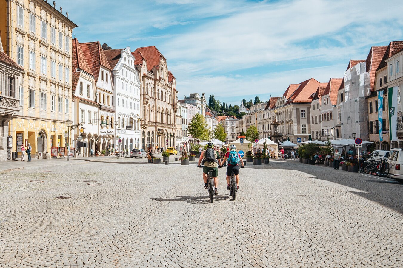
Start in Steyr | © TV Gesäuse | Thomas Sattler
1/12
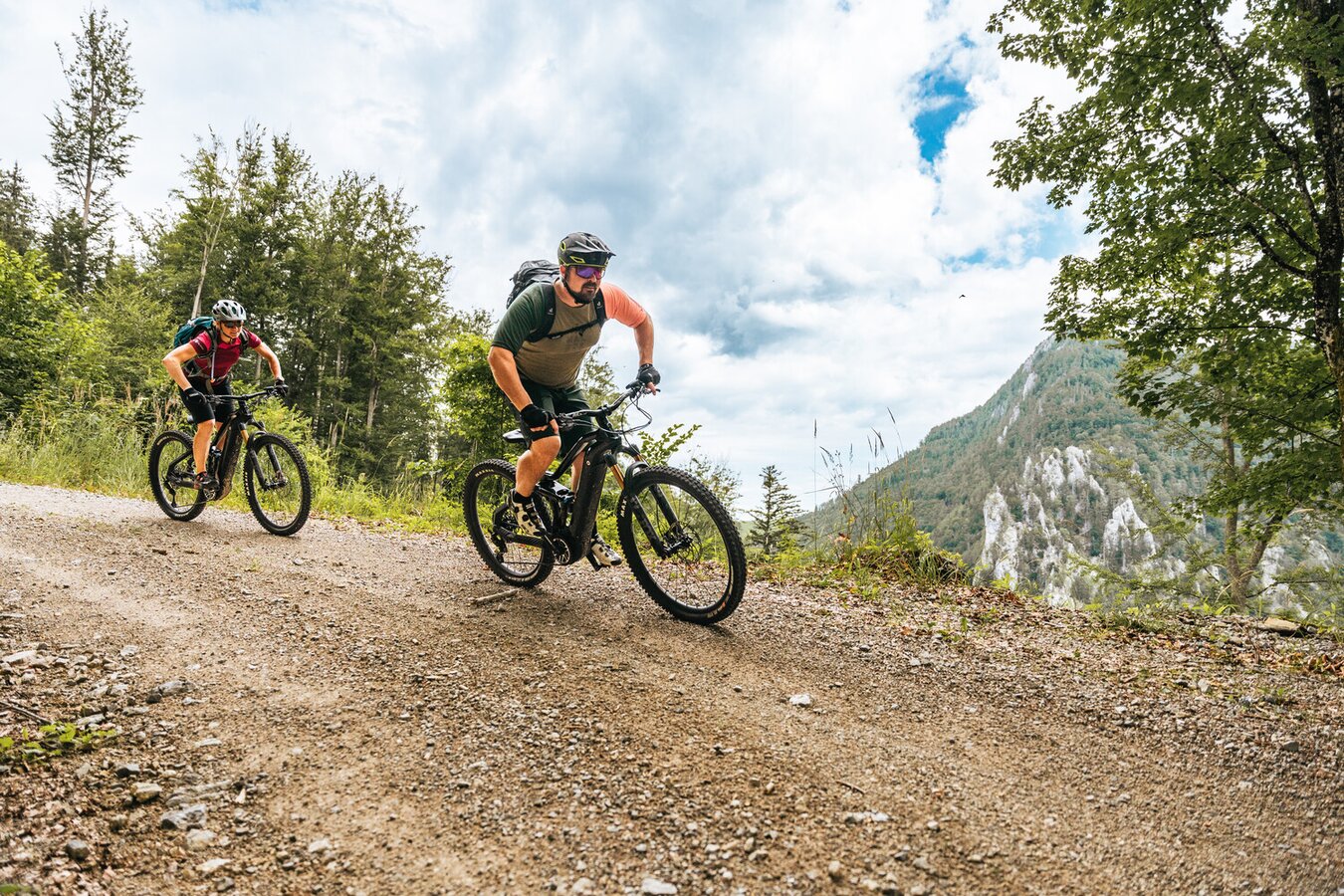
Trans Nationalpark Etappe 1 | © TV Gesäuse | Thomas Sattler
2/12
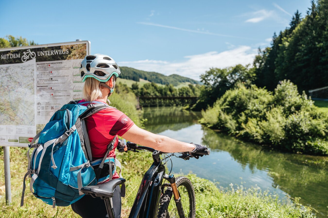
Entlang der Enns | © TV Gesäuse | Thomas Sattler
3/12
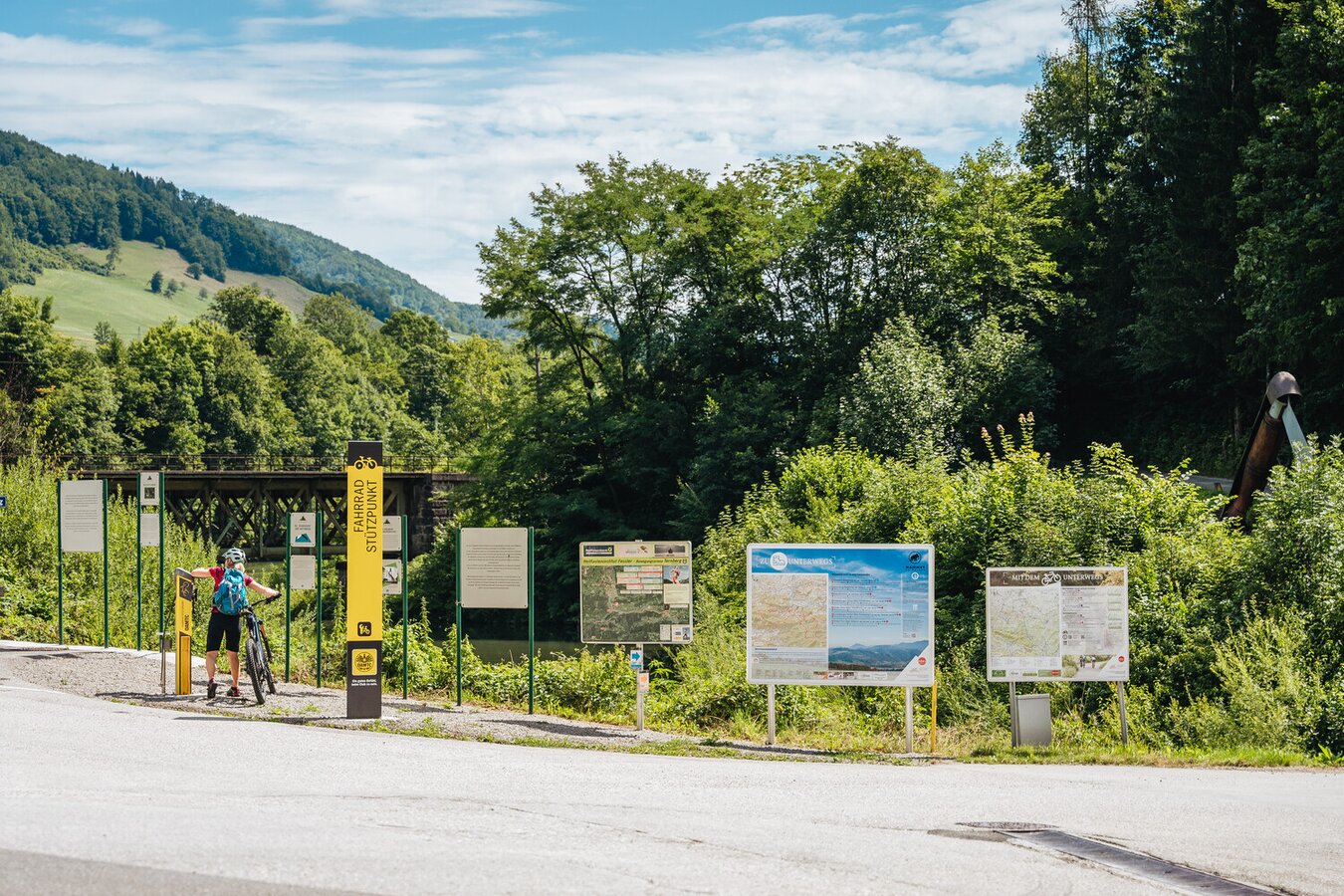
Fahrradstützpunkt mit Lade- und Servicestation in Trattenbach | © TV Gesäuse | Thomas Sattler
4/12
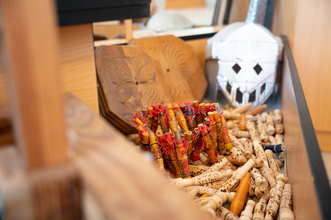
Trattenbacher Taschenfeitl | © TV Gesäuse | Tourismusverband Gesäuse
5/12
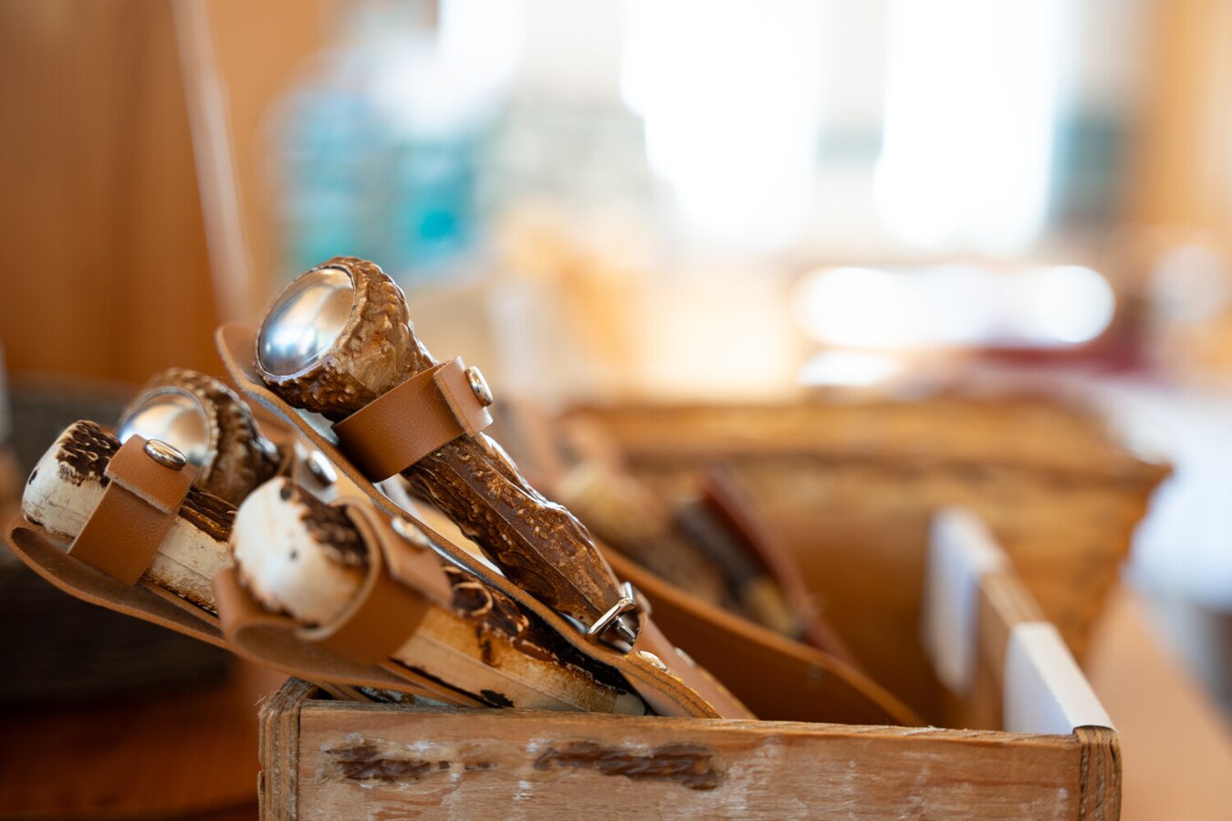
Im Tal der Feitlmacher | © TV Gesäuse | Thomas Sattler
6/12
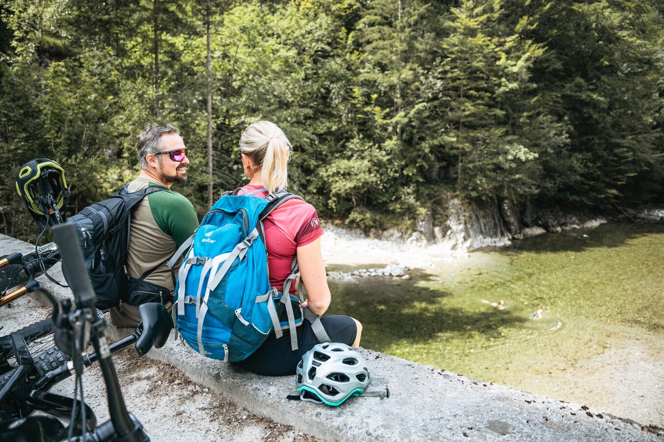
Kurz vor dem Etappenziel | © TV Gesäuse | Thomas Sattler
7/12
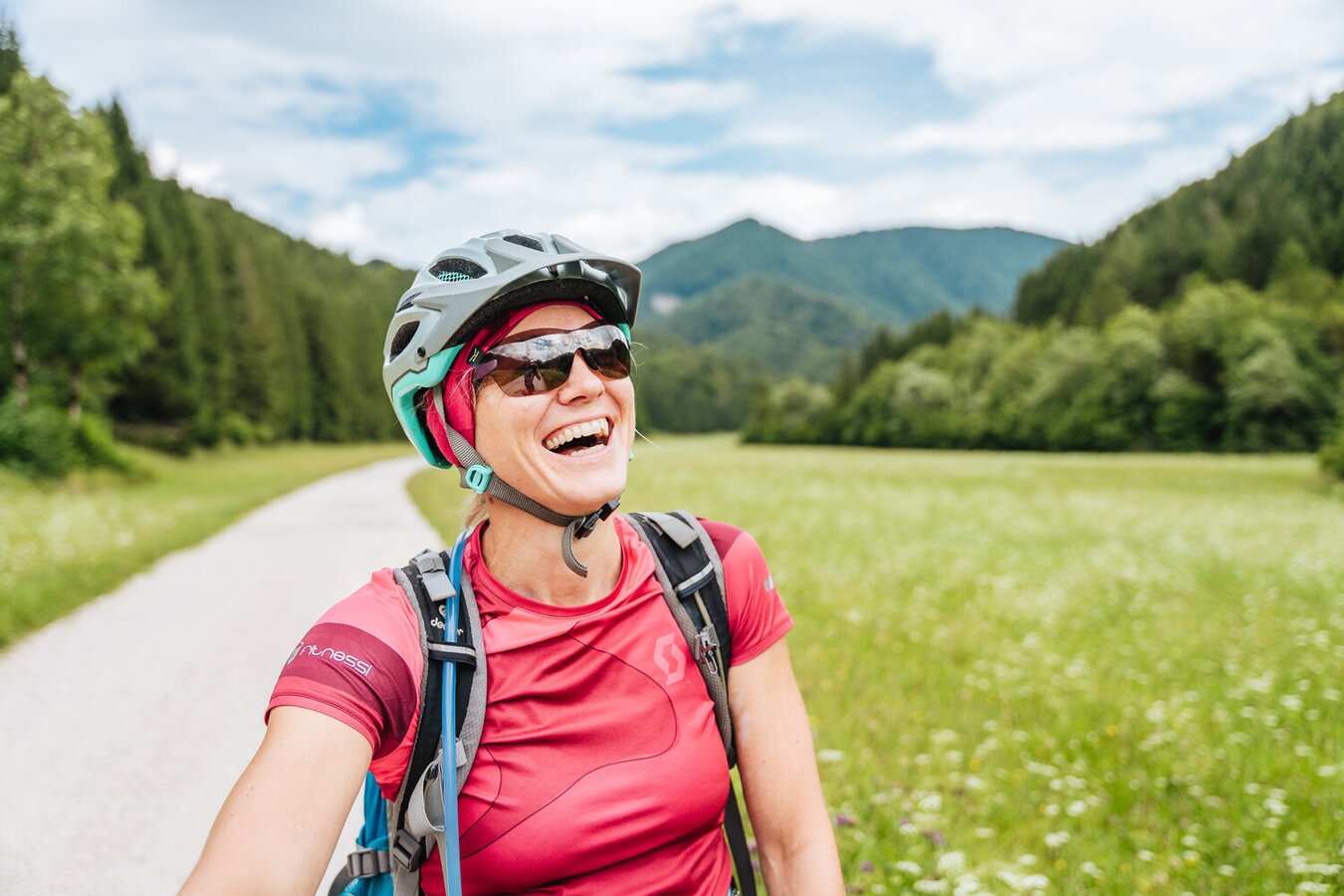
Wenn ein Lachen mehr sagt als Worte. | © TV Gesäuse | Thomas Sattler
8/12
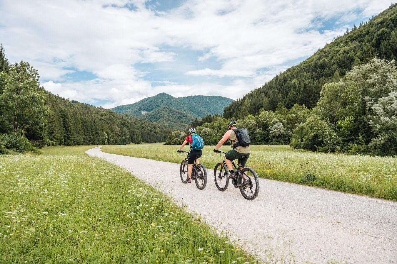
Durch Wiesen und Wälder mit dem Mountainbike | © TV Gesäuse | Thomas Sattler
9/12
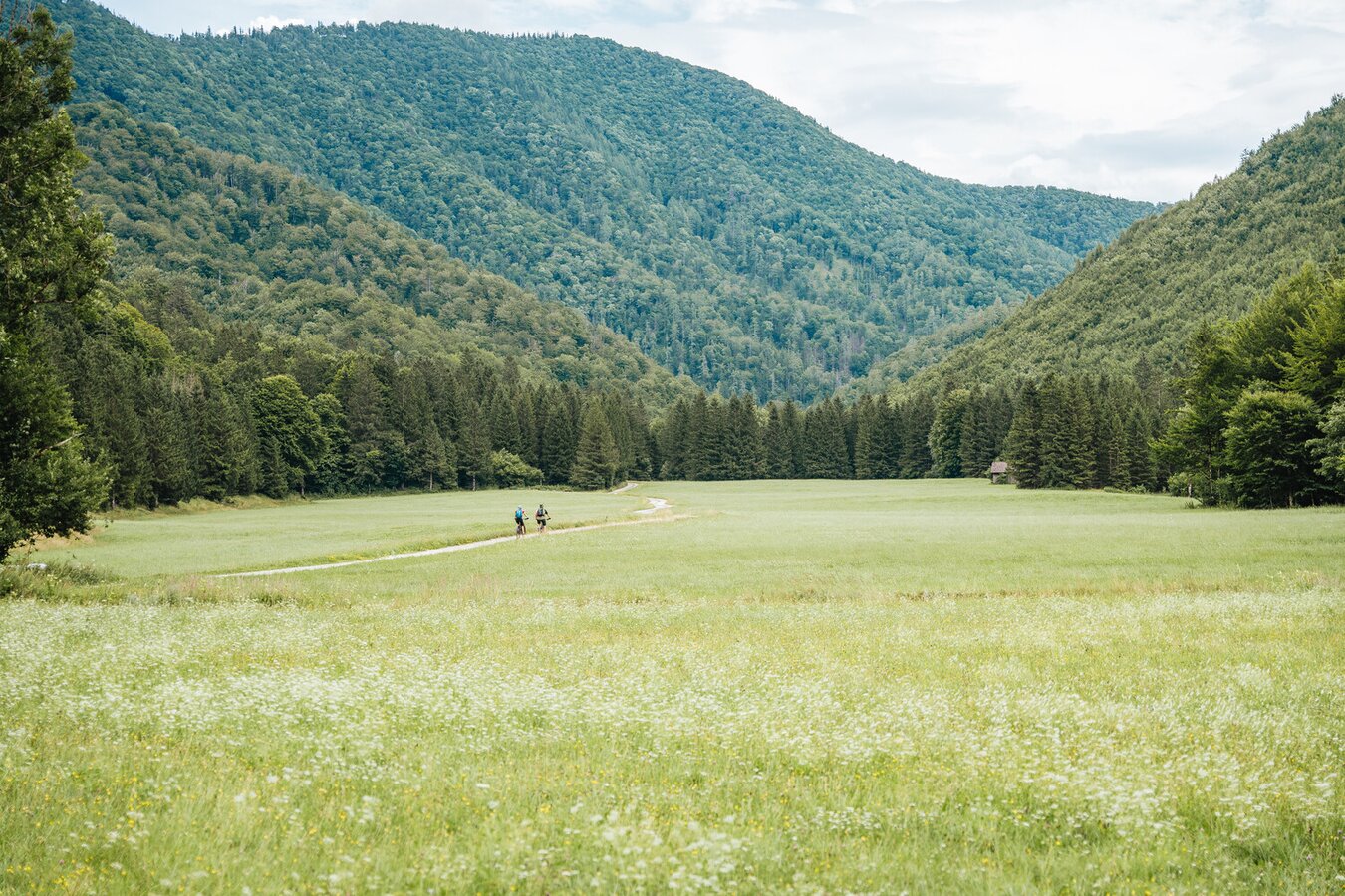
Im Schneegraben | © TV Gesäuse | Thomas Sattler
10/12
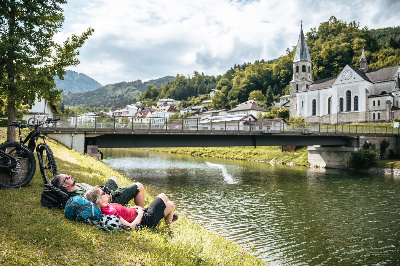
Ankunft in Reichraming | © TV Gesäuse | Thomas Sattler
11/12
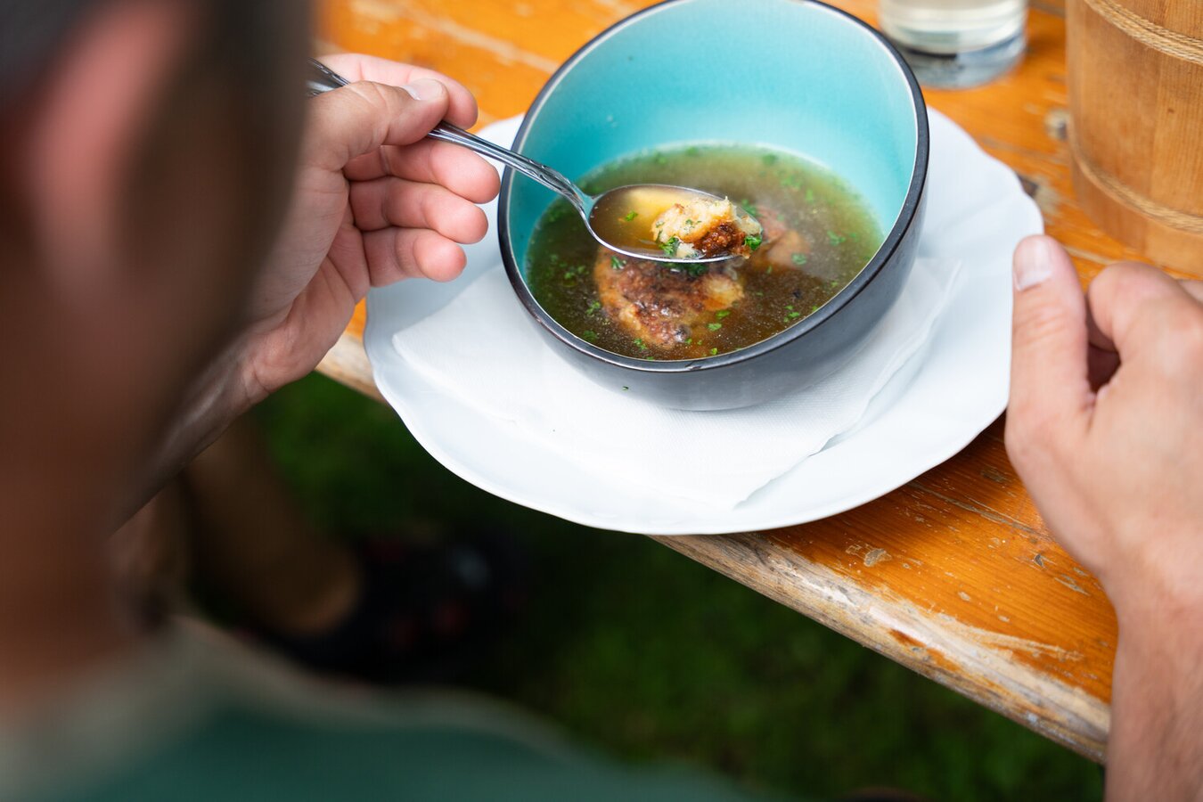
Kulinarik im Etappenziel Reichraming | © TV Gesäuse | Thomas Sattler
12/12
