


Stage 09 Luchs Trail: Palfau - Lassing (long stage)
Characteristics
SkillThe tour in numbers
Level of difficulty
challenging
Route
22,3 km
Time
8:00 h
Uphill
1404 hm
Downhill
1274 hm
Highest point
1745 m
Great efforts offer rich rewards: A long but scenically stunning trek to Mendling Valley
Great efforts offer rich rewards: A long but scenically stunning trek to Mendling Valley
Best season
January
February
March
April
May
June
July
August
September
October
November
December
More information
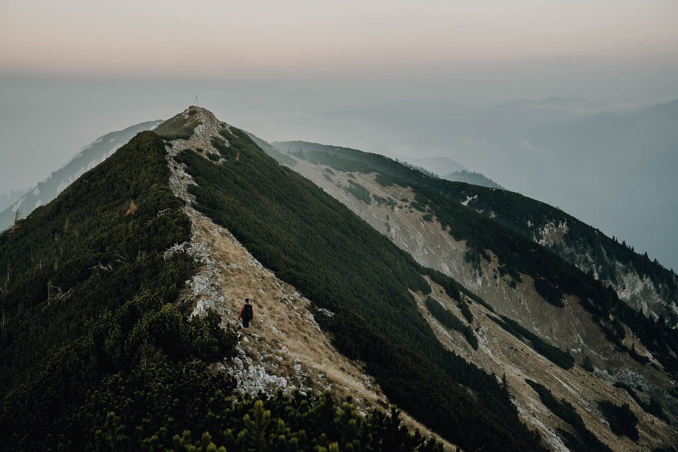
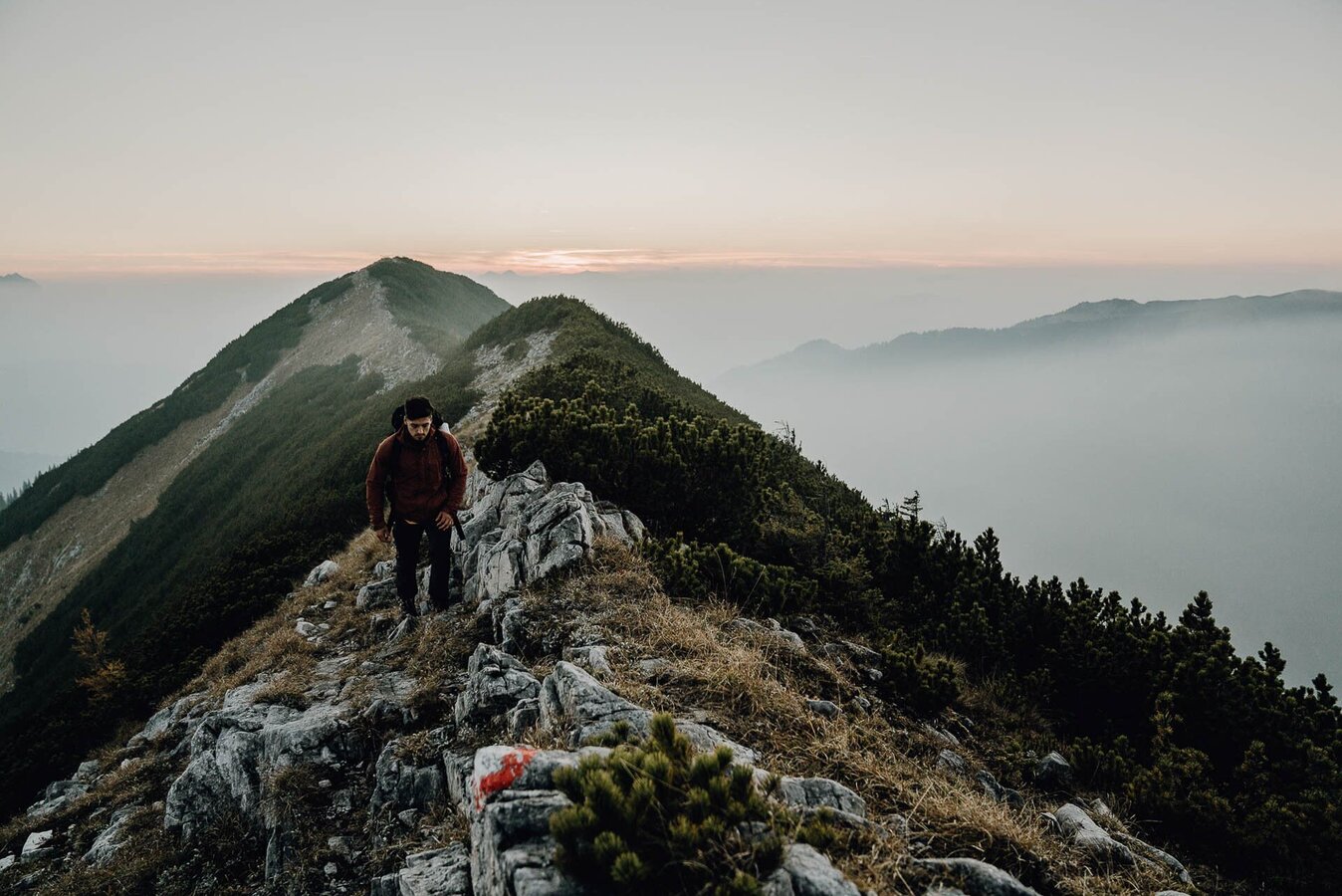
If the previous stages of the Luchs Trail have left you with some energy to spare, you might like to complete this last stage on a more demanding, alternative route. This variation runs via the summit of the Gamsstein mountain – adding another hour to your journey, but rewarding you with the most stunning scenery. Starting out from your accommodation in Palfau, you head West through the village until you reach a bridge (situated east of the village church). A narrow, gently ascending road will take you up to the ‘Bergbauer’ farmstead, where you follow the signs for the ‘Naturfreundehütte’ (an infrequently occupied mountain hostel), which you reach after a short while. Now continue through some wild woodlands (even trees that have previously fallen in a storm have not been removed in order to maintain the forests’ natural cycle). Next, you embark on a steep ascent through creeping pines and over grassland pastures, until you have reached the Gamsstein summit (1770 m) – where you can enjoy stunning panoramic views of the Totes Gebirge, Gesäuse, Hochschwabmassiv and Dürrenstein mountain ranges. For your ascent, you follow the signs for Hollenstein, hiking first along the ridge, then in between patches of creeping pine, all the way down to the Moarhochalm alpine pasture (1550 m). The rest of the way – leading to Lassing – is identical to the standard route (see above). Level of difficulty: mediumHiking time: 8 hrs 15 minDistance: 22.3 kmAscent: 1357 mDescent: 1222 m
Sturdy hiking boots or good trekking shoes
Hiking backpack
Water bottle
First aid kit including blister plasters
Hiking map and smartphone
Snacks
Sunglasses
Sunscreen
Hut sleeping bag
You should also be well prepared for changeable weather.
Packing your backpack correctly makes things much easier:
Pack heavy items first. Your water bottle should always be easily accessible in a side pocket. Everything you need frequently, such as sunglasses, your smartphone, or hiking map, should be packed on top.
Hiking backpack
Water bottle
First aid kit including blister plasters
Hiking map and smartphone
Snacks
Sunglasses
Sunscreen
Hut sleeping bag
You should also be well prepared for changeable weather.
Packing your backpack correctly makes things much easier:
Pack heavy items first. Your water bottle should always be easily accessible in a side pocket. Everything you need frequently, such as sunglasses, your smartphone, or hiking map, should be packed on top.
Top tip:
For more information:
We recommend that you make contact with the Lynx Trail Info & Booking Centre before making a booking.
Find a deal at: bookyourtrail.com
With the Verbundlinie BusBahnBim app, finding timetable information has never been easier: all bus, train, and tram connections in Austria can be searched for by entering locations and/or addresses, stops, or important points. The app is available as a free app for smartphones (Android, iOS) on Google Play and in the App Store.
In the Gesäuse region, you're mobile even without your own car during the summer months. Just one call to +43 3613 2100099 is all it takes: within operating hours, the Gesäuse shared taxi will take you to any destination in the Gesäuse — with no fixed timetable or stops.
In the Gesäuse region, you're mobile even without your own car during the summer months. Just one call to +43 3613 2100099 is all it takes: within operating hours, the Gesäuse shared taxi will take you to any destination in the Gesäuse — with no fixed timetable or stops.
Hints and tips
Lynx Trail Info & Booking Centre
Trail Angels GmbH
Obervellach 15, 9821 Obervellach
Tel.: +43 47 82 93 093
Web: www.bookyourtrail.com
Email: info@bookyourtrail.com
Lower Austria Information Office:
Mostviertel Tourismus GmbH
Töpperschloss Neubruck
Neubruck 2/10, 3283 Scheibbs
Tel.: +43 (0) 7482 204 44
Email: info@mostviertel.at
Upper Austria Information Office:
Tourismusverband Nationalpark Region Ennstal
Eisenstraße 75, 4462 Reichraming
Tel.: +43 (0) 7254 8414
Email: info@nationalparkregion.com
Steiermark Information Office:
Tourismusverband Gesäuse
Hauptstraße 35, 8911 Admont
Tel. +43 (0) 3613 21160 10
Email: info@gesaeuse.at
carto.at / Wander-, Rad- & Schitourenkarte „Nationalpark Gesäuse“
Gesäuseberge – Haller Mauern – Eisenerzer Alpen West, Nr. 801
M 1: 35.000 http://www.carto.at/gesaeuse/
Kompass/ Wander-, Fahrrad- & Schitourenkarte „Nationalpark Gesäuse“, Nr. 206
M 1 : 25.000 http://www.kompass.de/touren-und-regionen/wanderkarte/dest/100148-alpenregion-nationalpark-gesaeuse/
Alpenvereinskarte „Gesäuse und Ennstaler Alpen“, Blatt 16, M 1 : 25.000 http://www.freytagberndt.com/shop/9783928777346-alpenvereinskarte-16-ennstaler-alpen-gesaeuse/
Map & downloads
Gallery
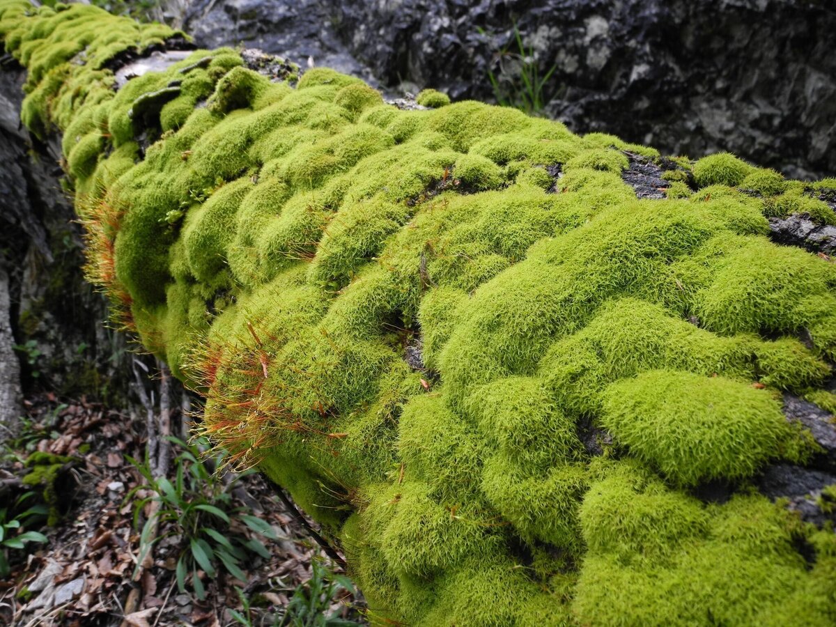
Etappe_09_Bemoostes Totholz_M. Laussamayr | © TV Gesäuse | Tourismusverband Gesäuse
1/14
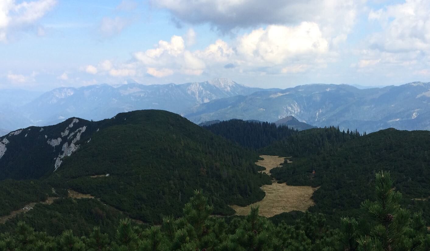
Blick über die Moar-Hochalm zum Dürrenstein | © TV Gesäuse | Tourismusverband Gesäuse
2/14
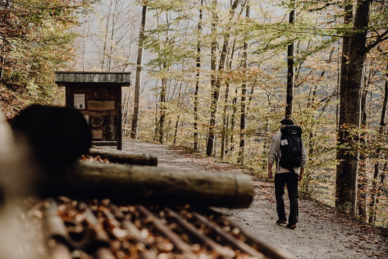
etappe 09 luchs trail palfau - lassing (lange variante)_img_36975828 | © TV Gesäuse | Tourismusverband Gesäuse
3/14
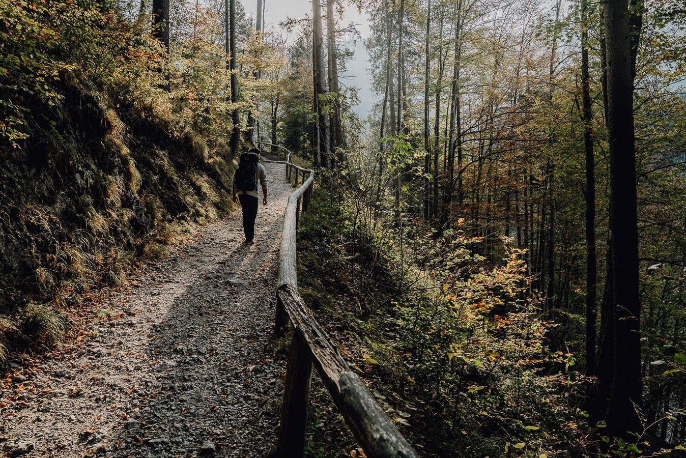
etappe 09 luchs trail palfau - lassing (lange variante)_img_36975829 | © TV Gesäuse | Tourismusverband Gesäuse
4/14
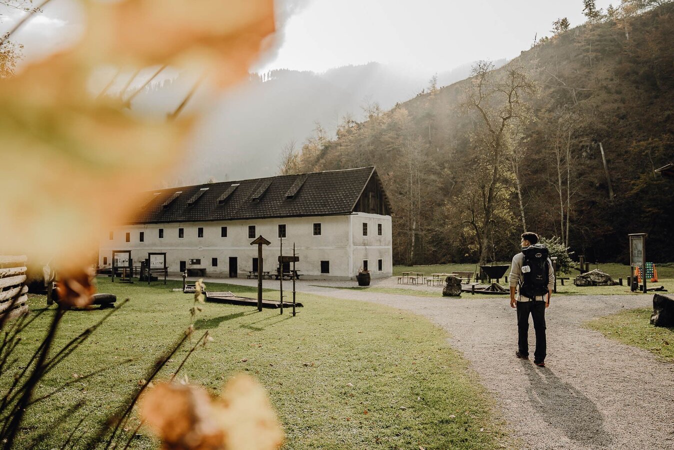
etappe 09 luchs trail palfau - lassing (lange variante)_img_36975830 | © TV Gesäuse | Tourismusverband Gesäuse
5/14
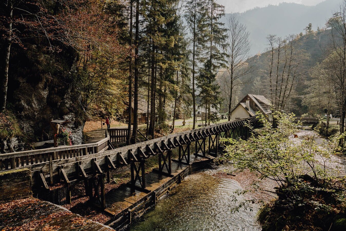
etappe 09 luchs trail palfau - lassing (lange variante)_img_36975831 | © TV Gesäuse | Tourismusverband Gesäuse
6/14
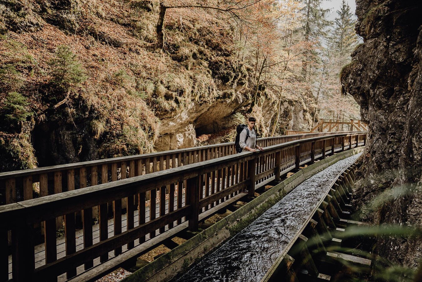
etappe 09 luchs trail palfau - lassing (lange variante)_img_36975832 | © TV Gesäuse | Tourismusverband Gesäuse
7/14
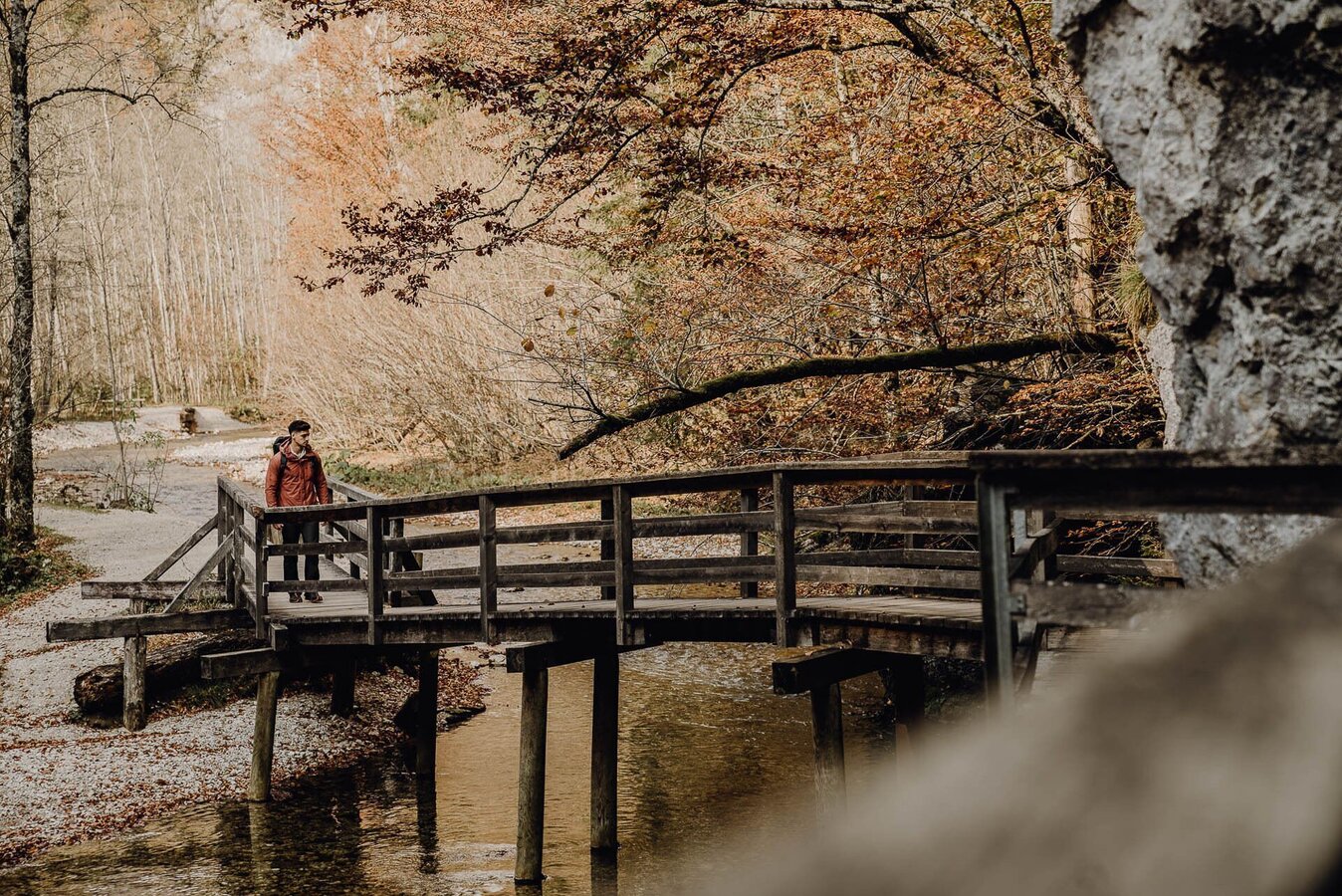
etappe 09 luchs trail palfau - lassing (lange variante)_img_36975833 | © TV Gesäuse | Tourismusverband Gesäuse
8/14
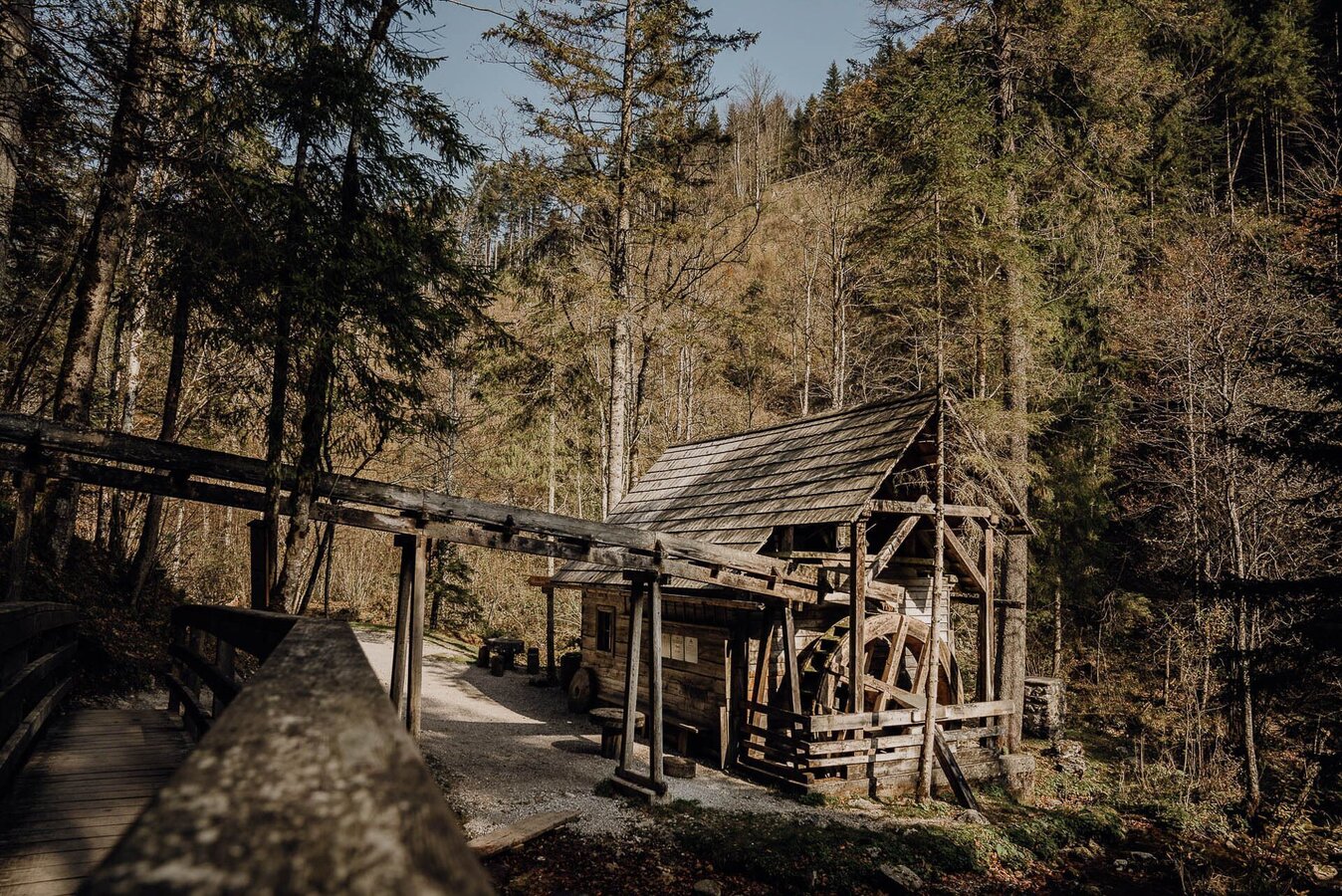
etappe 09 luchs trail palfau - lassing (lange variante)_img_36975834 | © TV Gesäuse | Tourismusverband Gesäuse
9/14
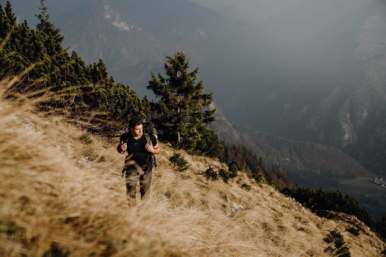
etappe 09 luchs trail palfau - lassing (lange variante)_img_36975835 | © TV Gesäuse | Tourismusverband Gesäuse
10/14
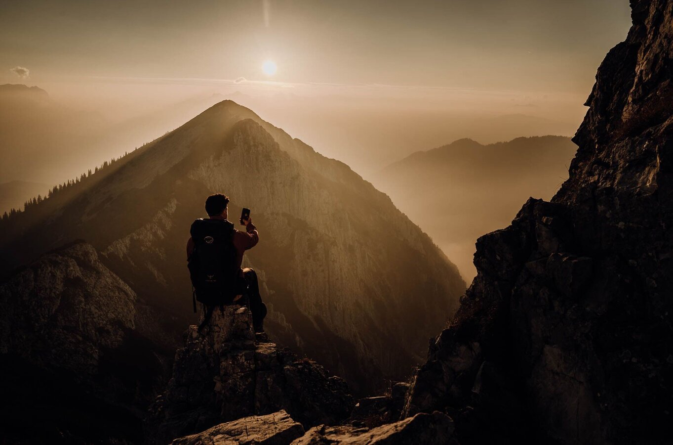
etappe 09 luchs trail palfau - lassing (lange variante)_img_36975836 | © TV Gesäuse | Tourismusverband Gesäuse
11/14
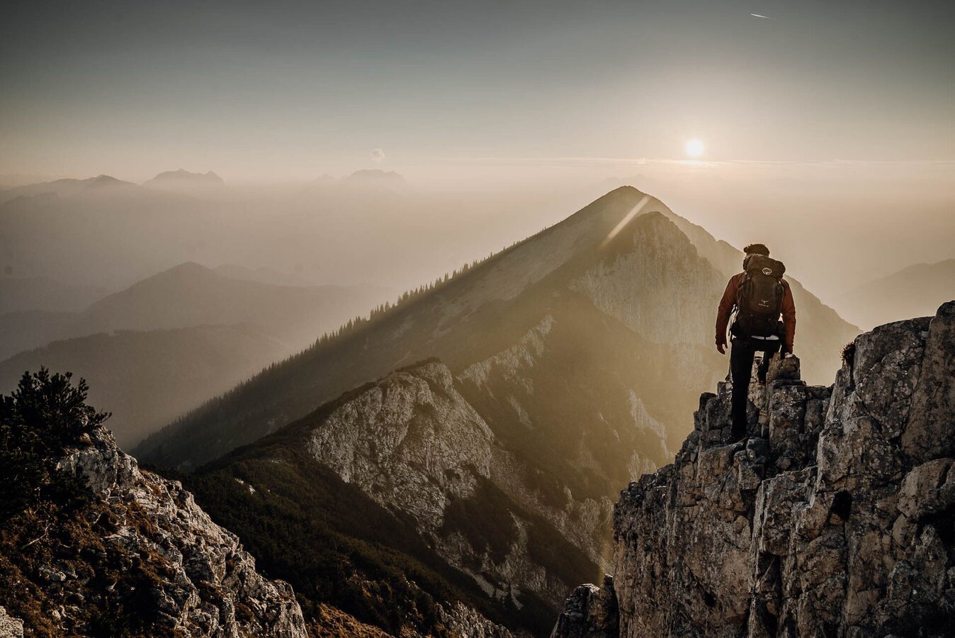
etappe 09 luchs trail palfau - lassing (lange variante)_img_36975837 | © TV Gesäuse | Tourismusverband Gesäuse
12/14
etappe 09 luchs trail palfau - lassing (lange variante)_img_36975838 | © TV Gesäuse | Tourismusverband Gesäuse
13/14
etappe 09 luchs trail palfau - lassing (lange variante)_img_36975839 | © TV Gesäuse | Tourismusverband Gesäuse
14/14

What the weather will be like Landl (522m)
Today, 01.10.2026
Dry and bright with plenty of sunshine, clouds will be rare.Morning

11°C
sr.Regenwahrscheinlichkeit
0%
sr.Windstärke
10 km/h
Noon
24°C
sr.Regenwahrscheinlichkeit
0%
sr.Windstärke
10 km/h
Night

16°C
sr.Regenwahrscheinlichkeit
0%
sr.Windstärke
10 km/h
Tomorrow, 02.10.2026
Dry and partly sunny throughout the day, with cloudy periods from time to time.Morning
7°C
sr.Regenwahrscheinlichkeit
0%
sr.Windstärke
5 km/h
Noon
20°C
sr.Regenwahrscheinlichkeit
5%
sr.Windstärke
5 km/h
Night
13°C
sr.Regenwahrscheinlichkeit
0%
sr.Windstärke
0 km/h
Forecast
03.10.2026
5°C
22°C
04.10.2026
5°C
21°C
05.10.2026

8°C
20°C
